LARGE GEORGIAN 1805 COPPER PLATE COUNTY MAP BEDFORDSHIRE BY JOHN CARY


Item History & Price

Information:
Reference Number: Avaluer:48239972County: Bedfordshire
Format: Wall MapCartographer/Publisher: John Cary
Type: County MapPrinting Technique: Copper Plate
Year: 1805Original/Reproduction: Antique Original
Date Range: 1800-1899
Original Description:
ORIGINAL LARGE GEORGIAN 1805 COPPER PLATE COUNTY MAP BEDFORDSHIRE BY JOHN CARY
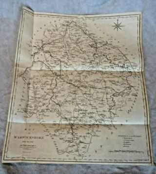
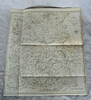
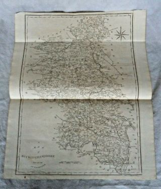
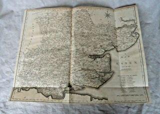
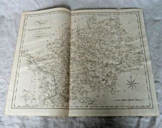
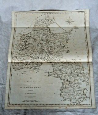
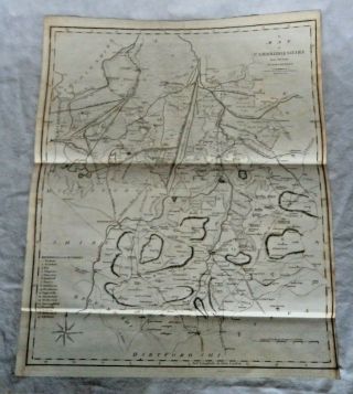
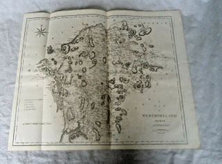
On offer is an ORIGINAL large Georgian copper plate (paper with watermark for 1804 and impressed rim mark for plate) map of the English county of Bedfordshire. Fine detailing.
Produced by John Cary in 1805 from "Britannia: or, a chorographical description of the flourishing kingdoms of England, Scotland and Ireland, and the islands adjacent; from the earliest antiquity", by William Camden.
Length 54... cm (large). Condition good.
Happy to post Worldwide via Royal Mail tracked and insured delivery.


    Similar items


  • Large Georgian 1805 Copper Plate County Map Warwickshire By John Cary

    Large Georgian 1805 Copper Plate County Map Warwickshire By John Cary

  • Large Georgian 1805 Copper Plate County Map Shropshire By John Cary

    Large Georgian 1805 Copper Plate County Map Shropshire By John Cary

  • Large Georgian 1805 Copper Plate County Map Buckinghamshire John Cary

    Large Georgian 1805 Copper Plate County Map Buckinghamshire John Cary

  • Large Georgian 1805 Copper Plate County Map Essex By John Cary

    Large Georgian 1805 Copper Plate County Map Essex By John Cary

  • Large Georgian 1805 Copper Plate County Map Hartfordshire By John Cary

    Large Georgian 1805 Copper Plate County Map Hartfordshire By John Cary

  • Large Georgian 1805 Copper Plate County Map Oxfordshire By John Cary

    Large Georgian 1805 Copper Plate County Map Oxfordshire By John Cary

  • Large Georgian 1805 Copper Plate County Map Cambridgeshire By John Cary

    Large Georgian 1805 Copper Plate County Map Cambridgeshire By John Cary

  • Large Georgian 1805 Copper Plate County Map Westmoreland / Cumbria

    Large Georgian 1805 Copper Plate County Map Westmoreland / Cumbria


    • You might also like


    • Hungary & Romania 1579 (1584) Ortelius Unusual Antique Copper Engraved Map

      Hungary & Romania 1579 (1584) Ortelius Unusual Antique Copper Engraved Map

    • Brussels Bruxelles Belfium 1777 De Ferraris & Dupuis Large Antique Map Sheet Xxi

      Brussels Bruxelles Belfium 1777 De Ferraris & Dupuis Large Antique Map Sheet Xxi

    • 1616 Atlas Map Of Iceland.

      1616 Atlas Map Of Iceland.

    • Kazan Russia 1767 Le Clerc/lespinasse Antique Copper Engraved City View

      Kazan Russia 1767 Le Clerc/lespinasse Antique Copper Engraved City View

    • 1899 Stanford,  Folding Map Of Norwich,  Norfolk,  Arthur Collins,  Jarrold & Sons,

      1899 Stanford, Folding Map Of Norwich, Norfolk, Arthur Collins, Jarrold & Sons,

    • 1948 Vintage Linen Colour Map Geological Survey Ten Mile Of Great Britain

      1948 Vintage Linen Colour Map Geological Survey Ten Mile Of Great Britain

    • 1944 Map Flying Bombs Sussex Ww2 Newspaper Military Kent Courier German V1 V2

      1944 Map Flying Bombs Sussex Ww2 Newspaper Military Kent Courier German V1 V2

    • Dated 1638 Vellum Map Of Icklesham Sussex Showing Land Uses Owners Etc

      Dated 1638 Vellum Map Of Icklesham Sussex Showing Land Uses Owners Etc

Avaluer          About Us          Privacy Policy          Contact Us          UP
© 2022, avaluer.net, Inc. or its affiliates