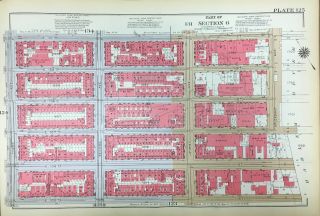
1925 HARLEM COLUMBIA UNIVERSITY MANHATTAN NY 105TH - 116TH STREET PLAT ATLAS MAP

Item History & Price
| Reference Number: Avaluer:48251431 | Type: Map |
| Original/Reproduction: Original |
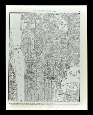
This is an original double sided 1925 Landbook Atlas/Map of the Harlem and Columbia University area of Manhattan. It measures 12 x 17. It is in Ex+ condition. Other great historical landmarks include schools, factories, churches and historic landmarks.
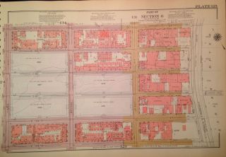
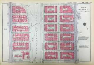
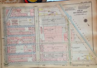
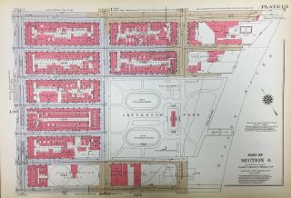
MAP 125: The map covers from 3rd Ave. to the Harlem River and from E. 105th St. to E. 110th St.MAP 126: The map covers from Riv...erside Park / Drive to Amsterdam Ave. and from Cathedral Pkwy. to W. 116th St. The roman numerals indicate how many stories each building is and each color represents the type of structure. Yellow is wood, grey is concrete, blue is iron and pink is brick. The X's through the buildings indicate it is a garage. Brown indicates stone structures. A square with an X indicates elevators. I am selling my collection of rare maps. If there is an area or street address of Brooklyn, Manhattan, Queens, Staten Island, Bronx, Newark, Cleveland, Boston, Pittsburgh, Philadelphia, Toledo, Long Island, Rochester that you might be interested in, contact me. I have insurance maps from 1880 to mid-1950s. Looks great framed! Check out my other items!
00492