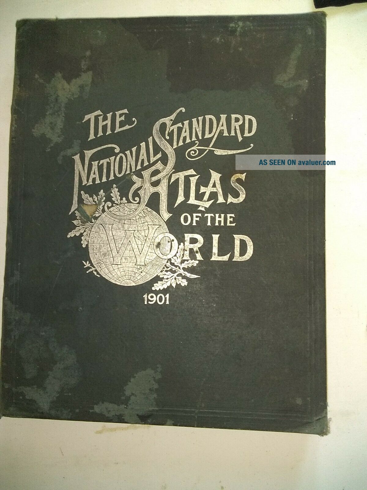
1901 National Standard Atlas Of The World


Item History & Price

Information:
Reference Number: Avaluer:48255283Type: World Atlas
Original/Reproduction: Antique OriginalFormat: Atlas
Date Range: 1900-1909Year: 1901
Original Description:
1901 Atlas Of The World. Shipped with USPS Priority Mail. Wonderful 120 year old atlas with old country names, colorful maps, loaded with information. Due to its age, it is worn but NOT worn out. This is a treasure for anyone interested in history, old maps and a look at the changes to our work in the last 110 years. It is missing pages 1-4, possibly a couple more. Some water damage on a couple of pages I have photographed. It measures 12 inches wide and 15 inches long. It is 1 1/2 thi...ck.


    Similar items


  • Antique Map Book The National Standard Atlas Of The World 1899 Fort Dearborn Pub

    Antique Map Book The National Standard Atlas Of The World 1899 Fort Dearborn Pub

  • 1897 National Standard Atlas Of The World Antique Vintage Maps Rare

    1897 National Standard Atlas Of The World Antique Vintage Maps Rare

  • 1897 National Standard Atlas Of The World,  Geography Maps History Charts Earth

    1897 National Standard Atlas Of The World, Geography Maps History Charts Earth

  • 1899 The National Standard Atlas Of The World

    1899 The National Standard Atlas Of The World

  • 1890 Rand Mcnally Standard Atlas Of The World

    1890 Rand Mcnally Standard Atlas Of The World

  • 1901 Crams Unrivaled Atlas Of The World

    1901 Crams Unrivaled Atlas Of The World

  • Vintage 1897 Rand Mcnally Standard Atlas Of The World: Large Library Editio

    Vintage 1897 Rand Mcnally Standard Atlas Of The World: Large Library Editio

  • National Geographic Atlas Of The World Revised Sixth Edition

    National Geographic Atlas Of The World Revised Sixth Edition


    • You might also like


    • 1860 Mitchell Hand Colored Map Colorado,  Nebraska & Kansas - Civil War Era

      1860 Mitchell Hand Colored Map Colorado, Nebraska & Kansas - Civil War Era

    • 18th Century French Map Of North America

      18th Century French Map Of North America

    • Las Vegas Nevada Vintage 1967 Us Geological Survey Quadrangle Map 4 Panels

      Las Vegas Nevada Vintage 1967 Us Geological Survey Quadrangle Map 4 Panels

    • Rare Antique 1845 Maps United States Exploring Expedition Book Antartica Hawaii

      Rare Antique 1845 Maps United States Exploring Expedition Book Antartica Hawaii

    • Vintage 1926 Map Hollywood From The Best Surveys Of The Time

      Vintage 1926 Map Hollywood From The Best Surveys Of The Time

    • American Continent (western Hemisphere) 1747 Bowen Antique Copper Engraved Map

      American Continent (western Hemisphere) 1747 Bowen Antique Copper Engraved Map

    • Gulf Coast Florida Texas United States 1705 De Fer Unusual Antique Engraved Map

      Gulf Coast Florida Texas United States 1705 De Fer Unusual Antique Engraved Map

    • California As Island United States 1700 De Fer Unusual First Edition Antique Map

      California As Island United States 1700 De Fer Unusual First Edition Antique Map

Avaluer          About Us          Privacy Policy          Contact Us          UP
© 2022, avaluer.net, Inc. or its affiliates