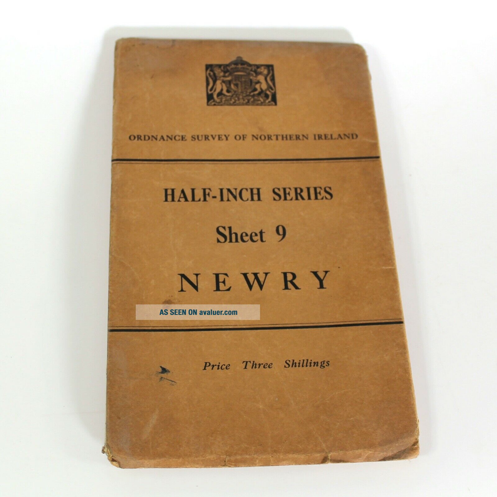
Vintage Ordnance Survey Map Of Newry 1938


Item History & Price

Information:
Reference Number: Avaluer:48271489County: Newry
Year: 1938Type: Ordnance Survey Map
Country/Region: Northern Ireland
Original Description:
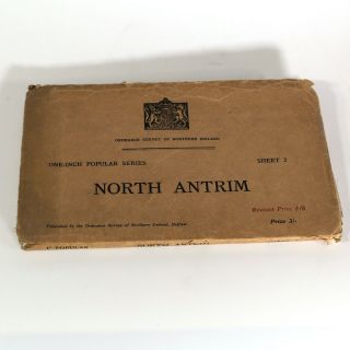
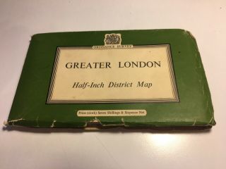
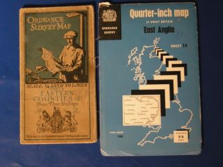
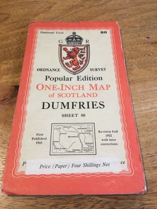
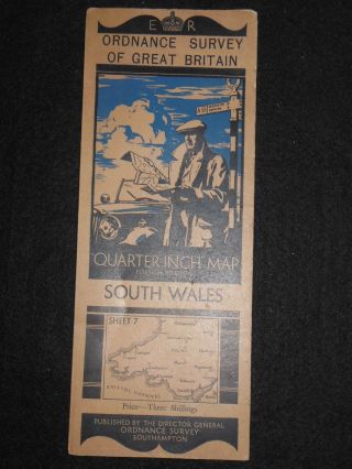
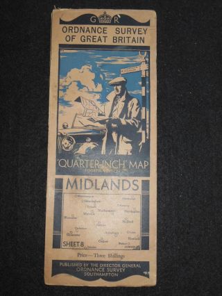
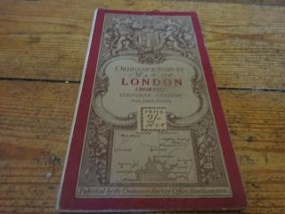
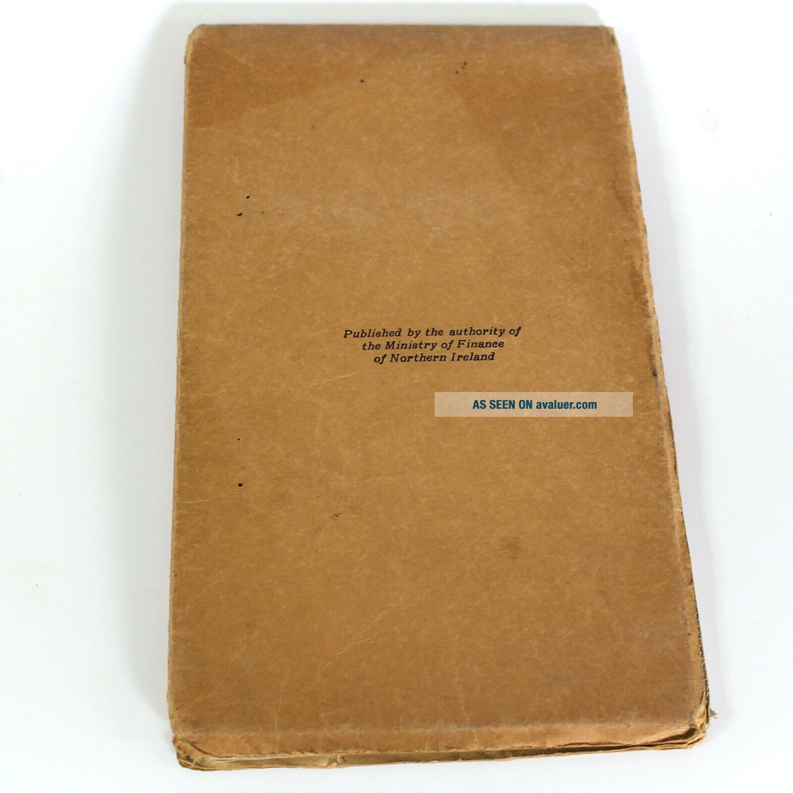
Vintage Ordnance Survey Map of Newry, Northern IrelandPrinted on a cloth material and in decent good condition, this map from pre-war 1938 is a collectable item of history. 
How I got it ...8 years years ago I bought an 1885-built Victorian house in a small town in Northern Ireland. I found these maps in a chest in one of the outhouses. The house was empty for many years and remarkably, the maps survived. I've not wanted to part with them until now and this is one of a dozen or... so that I will be putting up for sale on eBay.


    Similar items


  • Vintage Ordnance Survey Map Of North Antrim 1938

    Vintage Ordnance Survey Map Of North Antrim 1938

  • Vintage Ordnance Survey Map Of Greater London,  1962

    Vintage Ordnance Survey Map Of Greater London, 1962

  • Vintage Ordnance Survey Maps Of East Anglia And Eastern Counties 1962 1920s

    Vintage Ordnance Survey Maps Of East Anglia And Eastern Counties 1962 1920s

  • Vintage Ordnance Survey Map Of Dumfries,  Sheet 88,  1945

    Vintage Ordnance Survey Map Of Dumfries, Sheet 88, 1945

  • Vintage Ordnance Survey Map Of South Wales (1933 - 1950s) Cardiff,  Swansea,  Brecon

    Vintage Ordnance Survey Map Of South Wales (1933 - 1950s) Cardiff, Swansea, Brecon

  • Vintage Ordnance Survey Map Of The Midlands (1935) Birmingham,  Oxford,  Warwick

    Vintage Ordnance Survey Map Of The Midlands (1935) Birmingham, Oxford, Warwick

  • Vintage Ordnance Survey Map Of London With Ellis Martin Cover

    Vintage Ordnance Survey Map Of London With Ellis Martin Cover

  • Vintage Ordnance Survey Map Of Isles Of Scilly 1933,  Ref A14

    Vintage Ordnance Survey Map Of Isles Of Scilly 1933, Ref A14


    • You might also like


    • Hungary & Romania 1579 (1584) Ortelius Unusual Antique Copper Engraved Map

      Hungary & Romania 1579 (1584) Ortelius Unusual Antique Copper Engraved Map

    • Brussels Bruxelles Belfium 1777 De Ferraris & Dupuis Large Antique Map Sheet Xxi

      Brussels Bruxelles Belfium 1777 De Ferraris & Dupuis Large Antique Map Sheet Xxi

    • 1616 Atlas Map Of Iceland.

      1616 Atlas Map Of Iceland.

    • Kazan Russia 1767 Le Clerc/lespinasse Antique Copper Engraved City View

      Kazan Russia 1767 Le Clerc/lespinasse Antique Copper Engraved City View

    • 1899 Stanford,  Folding Map Of Norwich,  Norfolk,  Arthur Collins,  Jarrold & Sons,

      1899 Stanford, Folding Map Of Norwich, Norfolk, Arthur Collins, Jarrold & Sons,

    • 1948 Vintage Linen Colour Map Geological Survey Ten Mile Of Great Britain

      1948 Vintage Linen Colour Map Geological Survey Ten Mile Of Great Britain

    • 1944 Map Flying Bombs Sussex Ww2 Newspaper Military Kent Courier German V1 V2

      1944 Map Flying Bombs Sussex Ww2 Newspaper Military Kent Courier German V1 V2

    • Dated 1638 Vellum Map Of Icklesham Sussex Showing Land Uses Owners Etc

      Dated 1638 Vellum Map Of Icklesham Sussex Showing Land Uses Owners Etc

Avaluer          About Us          Privacy Policy          Contact Us          UP
© 2022, avaluer.net, Inc. or its affiliates