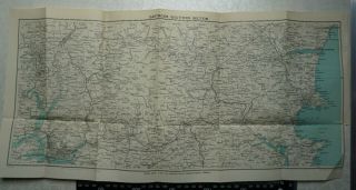
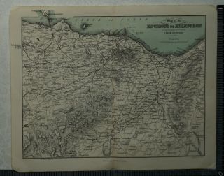
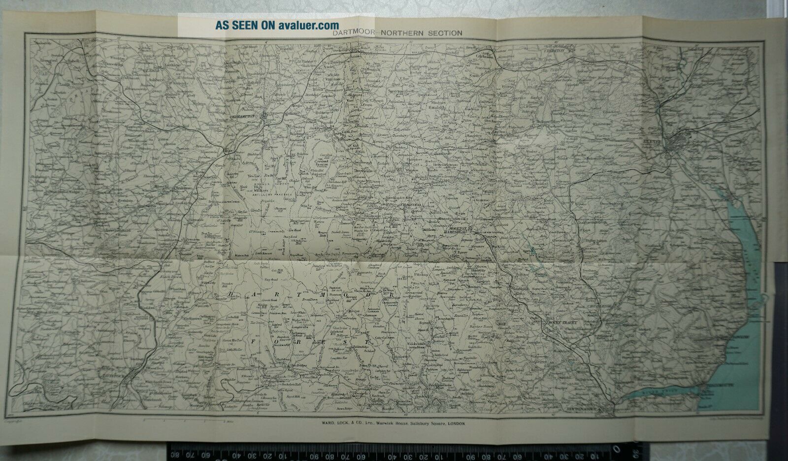
1932 Vintage Bartholomew Map Of Dartmoor - Northern Section, Devon


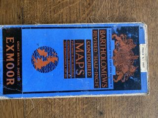
Item History & Price

Information:
Reference Number: Avaluer:48294093
Original Description:
1932 Vintage Bartholomew Map of Dartmoor - Northern Section, Devon

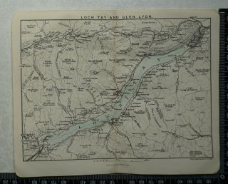
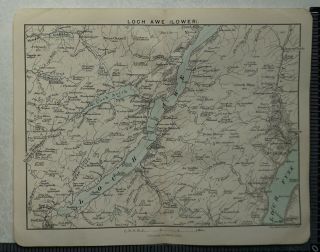
This advertisement comes from ' A Pictorial and Descriptive Guide to Dartmoor'.
Overall page size: 48 cm x 26 cm approx. with six folds

Condition: Good imprint . Closed tear where tab joins map
Please study the picture


    Similar items


  • 1932 Vintage Bartholomew Map Of Dartmoor,  Plymouth,  Ivybridge,  Tavistock,  Dawlish

    1932 Vintage Bartholomew Map Of Dartmoor, Plymouth, Ivybridge, Tavistock, Dawlish

  • Vintage Bartholomew Map Of South Devon - Dartmoor,  Plymouth,  Exeter.

    Vintage Bartholomew Map Of South Devon - Dartmoor, Plymouth, Exeter.

  • 1892 Vintage Bartholomew Map Of Loch Tay And Glen Lyon,  Scotland - Killin,  Kenmore

    1892 Vintage Bartholomew Map Of Loch Tay And Glen Lyon, Scotland - Killin, Kenmore

  • 1892 Vintage Bartholomew Map Of Loch Awe (lower),  Scotland - Loch Fyne,  Loch Avich

    1892 Vintage Bartholomew Map Of Loch Awe (lower), Scotland - Loch Fyne, Loch Avich

  • 1892 Vintage Bartholomew Map Of The Environs Of Edinburgh,  Scotland

    1892 Vintage Bartholomew Map Of The Environs Of Edinburgh, Scotland

  • 1892 Vintage Bartholomew Map Of Roslin And Hawthornden,  Scotland

    1892 Vintage Bartholomew Map Of Roslin And Hawthornden, Scotland

  • 1892 Vintage Bartholomew Map Of Staffa And Iona,  Scotland

    1892 Vintage Bartholomew Map Of Staffa And Iona, Scotland

  • 1892 Vintage Bartholomew Map Of The Shetland Isles,  Scotland

    1892 Vintage Bartholomew Map Of The Shetland Isles, Scotland


    • You might also like


    • Hungary & Romania 1579 (1584) Ortelius Unusual Antique Copper Engraved Map

      Hungary & Romania 1579 (1584) Ortelius Unusual Antique Copper Engraved Map

    • Brussels Bruxelles Belfium 1777 De Ferraris & Dupuis Large Antique Map Sheet Xxi

      Brussels Bruxelles Belfium 1777 De Ferraris & Dupuis Large Antique Map Sheet Xxi

    • 1616 Atlas Map Of Iceland.

      1616 Atlas Map Of Iceland.

    • Kazan Russia 1767 Le Clerc/lespinasse Antique Copper Engraved City View

      Kazan Russia 1767 Le Clerc/lespinasse Antique Copper Engraved City View

    • 1899 Stanford,  Folding Map Of Norwich,  Norfolk,  Arthur Collins,  Jarrold & Sons,

      1899 Stanford, Folding Map Of Norwich, Norfolk, Arthur Collins, Jarrold & Sons,

    • 1948 Vintage Linen Colour Map Geological Survey Ten Mile Of Great Britain

      1948 Vintage Linen Colour Map Geological Survey Ten Mile Of Great Britain

    • 1944 Map Flying Bombs Sussex Ww2 Newspaper Military Kent Courier German V1 V2

      1944 Map Flying Bombs Sussex Ww2 Newspaper Military Kent Courier German V1 V2

    • Dated 1638 Vellum Map Of Icklesham Sussex Showing Land Uses Owners Etc

      Dated 1638 Vellum Map Of Icklesham Sussex Showing Land Uses Owners Etc

Avaluer          About Us          Privacy Policy          Contact Us          UP
© 2022, avaluer.net, Inc. or its affiliates