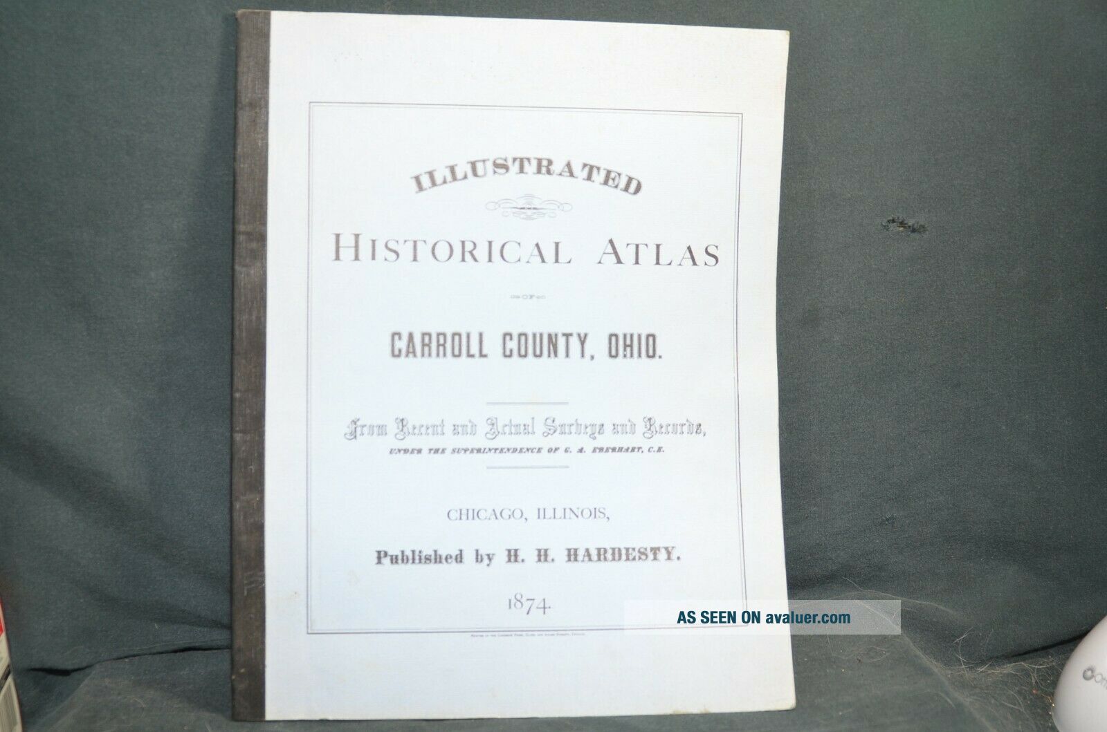
Vintage Historical Atlas - Carroll County Ohio 1874
Item History & Price
Reference Number: Avaluer:48296138 | Format: Atlas |
US State: Ohio | Year: 1874 |
Reference Number: Avaluer:48296138 | Format: Atlas |
US State: Ohio | Year: 1874 |
Illustrated Historical Atlas Stark County Ohio 1875
Book Caldwells Illustrated Historical Atlas Adams County Ohio 1797 - 1880
Historical Atlas, Tuscarawas County, Ohio 1857 And 1908 (combined) 1973
1876 Historical Atlas Clinton County Ohio Lake Griffing Stevenson Inv - Av001
Ashland County Ohio 1874 Atlas Maps Engravings Loudonville Perrysville
1874 Map Orange Township Carroll County Ohio Land Owners Names & Acrage
24x36 Vintage Historic Map Mount Vernon Ohio 1870 Knox County
Vintage 1956 Atlas Jackson County Iowa & Advertising Maquoketa Preston Bellevue
1860 Mitchell Hand Colored Map Colorado, Nebraska & Kansas - Civil War Era
18th Century French Map Of North America
Las Vegas Nevada Vintage 1967 Us Geological Survey Quadrangle Map 4 Panels
Rare Antique 1845 Maps United States Exploring Expedition Book Antartica Hawaii
Vintage 1926 Map Hollywood From The Best Surveys Of The Time
American Continent (western Hemisphere) 1747 Bowen Antique Copper Engraved Map
Gulf Coast Florida Texas United States 1705 De Fer Unusual Antique Engraved Map
California As Island United States 1700 De Fer Unusual First Edition Antique Map