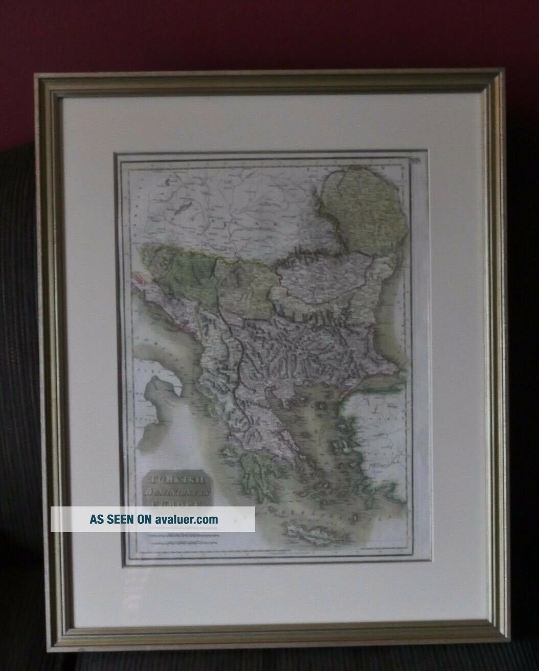
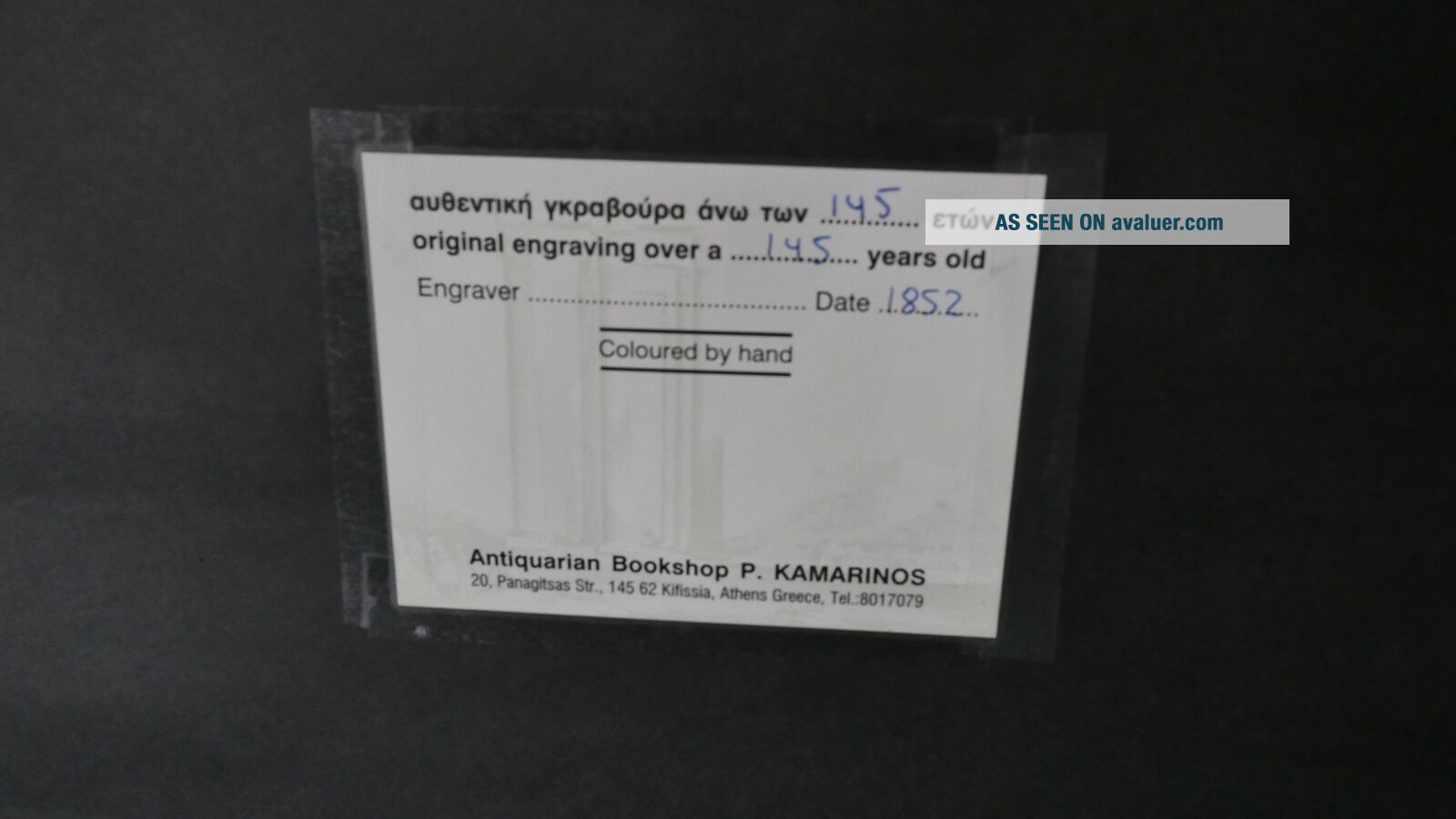
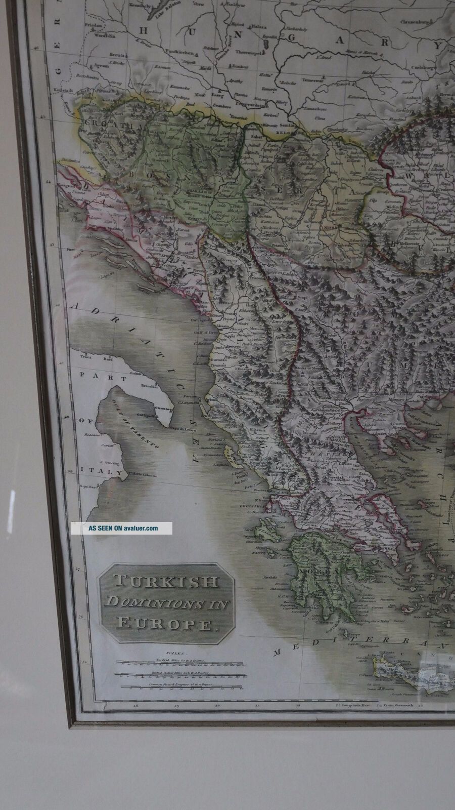
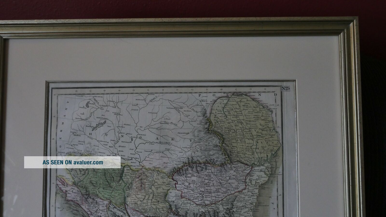
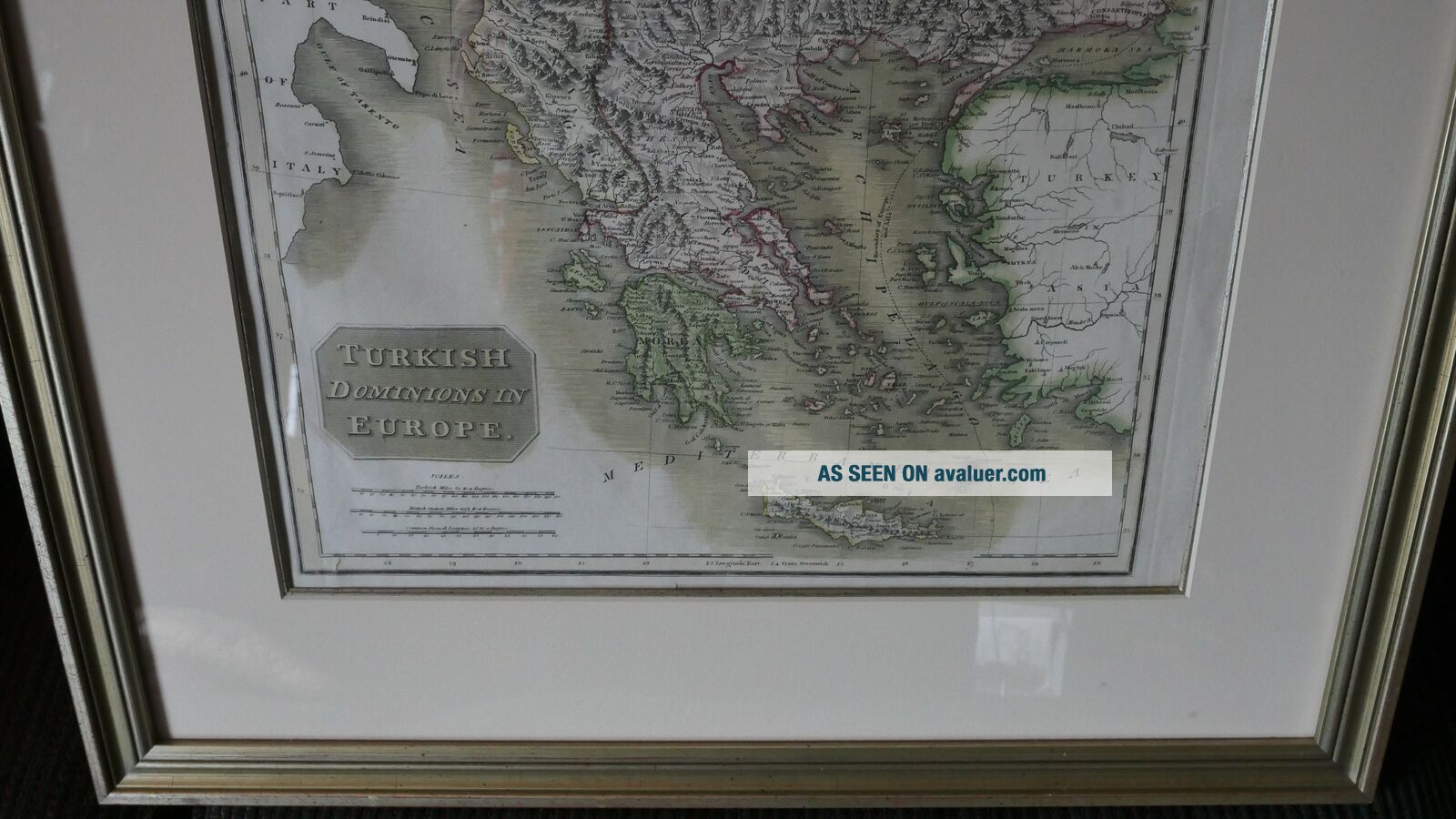
1852 Map Hand - Colored Custom Framed LARGE Antique Europe OTTOMAN EMPIRE


Item History & Price
| Reference Number: Avaluer:48791 | Original/Reproduction: Original |
| Type: Map |

| Reference Number: Avaluer:48791 | Original/Reproduction: Original |
| Type: Map |
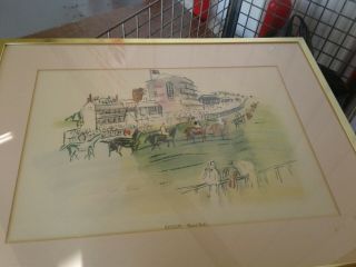
Raoul Dufy Horse Racing Lithograph Print Rare Hand Colored Custom Frame
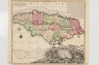
1740 Matthaus Seutter Map Jamaica Large Map Hand Colored
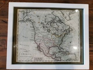
1700 ' S Italian Map Hand Colored Of America Framed
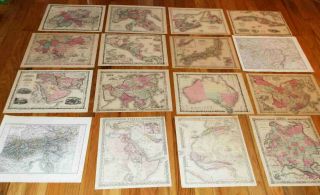
16 Large Antique Maps - - Hand Color, 1855 To 1876
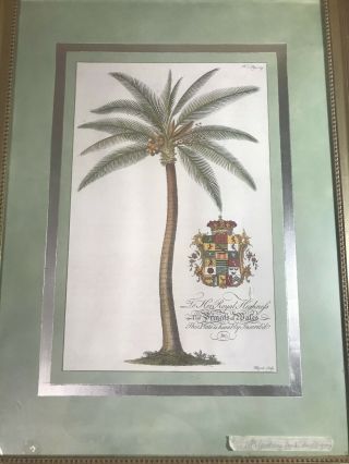
Large Antique 18th Century " Princess Of Wales " Hand Colored Engraving - Framed
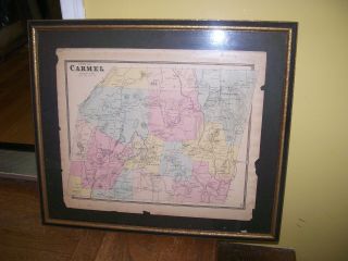
Map Antique Town Of Carmel, N. Y. Putnam Cty. Hand Colored In Frame
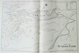
Antique 1903 Tuxedo Park Map Hand Colored Large Folio Lake Wee Wah
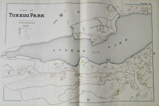
Antique 1903 Tuxedo Park Map Hand Colored Large Folio Tuxedo Lake

Hungary & Romania 1579 (1584) Ortelius Unusual Antique Copper Engraved Map

Brussels Bruxelles Belfium 1777 De Ferraris & Dupuis Large Antique Map Sheet Xxi

1616 Atlas Map Of Iceland.

Kazan Russia 1767 Le Clerc/lespinasse Antique Copper Engraved City View

1899 Stanford, Folding Map Of Norwich, Norfolk, Arthur Collins, Jarrold & Sons,

1948 Vintage Linen Colour Map Geological Survey Ten Mile Of Great Britain

1944 Map Flying Bombs Sussex Ww2 Newspaper Military Kent Courier German V1 V2

Dated 1638 Vellum Map Of Icklesham Sussex Showing Land Uses Owners Etc