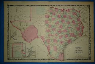
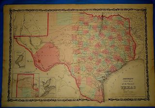
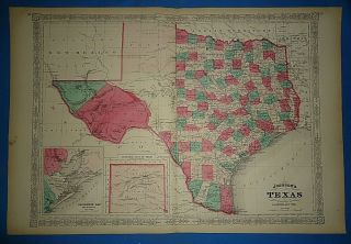
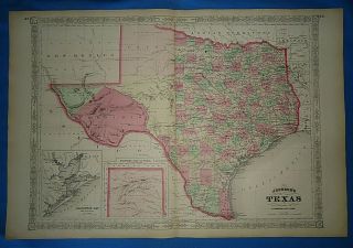
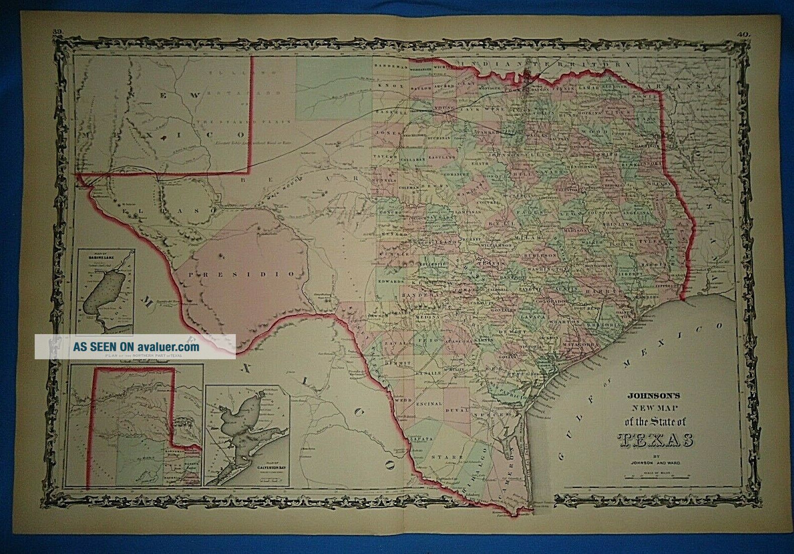
Vintage 1862 TEXAS Map Old Antique Johnson ' S Atlas Map 425
Item History & Price
Offered for sale is an Original 150+ Year Old -1862 Antique Atlas Map.
This Map was removed form an 1862 Atlas and is in good acceptable condition.
These maps are harvested from antique atlas books that are in poor unusable condition.
I retain only best condition maps and offer them for sale for your enjoyment.
It may have some age wear such as minor wear or small tears along
the page edges, foxing, spots, paper browning & brittle paper from over&nb...sp;
150+ years of aging. Study the photos carefully, this is the actual map you
will receive. The page is approx 18" x 26 1/2". This map is not dated.
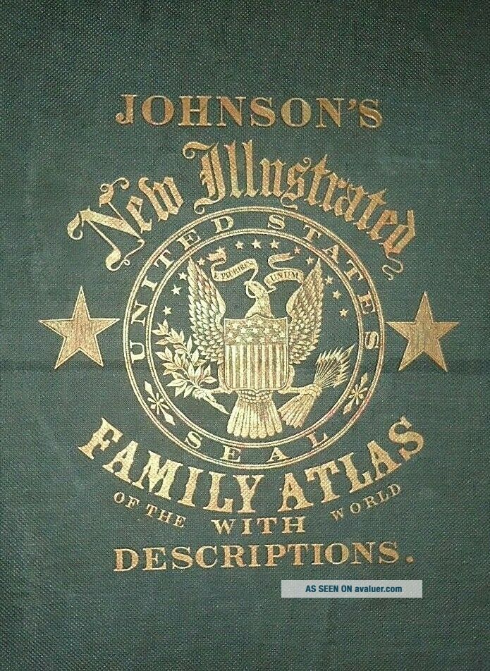
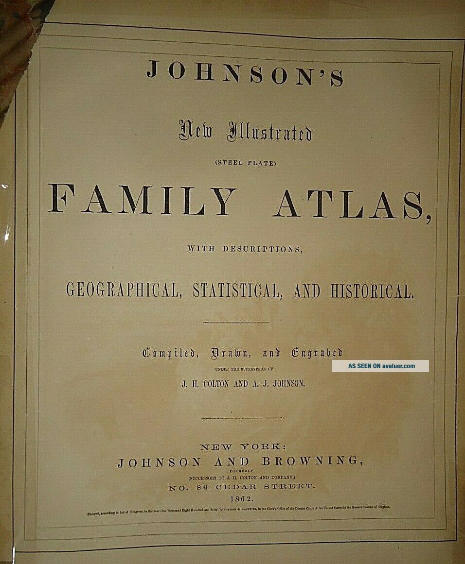
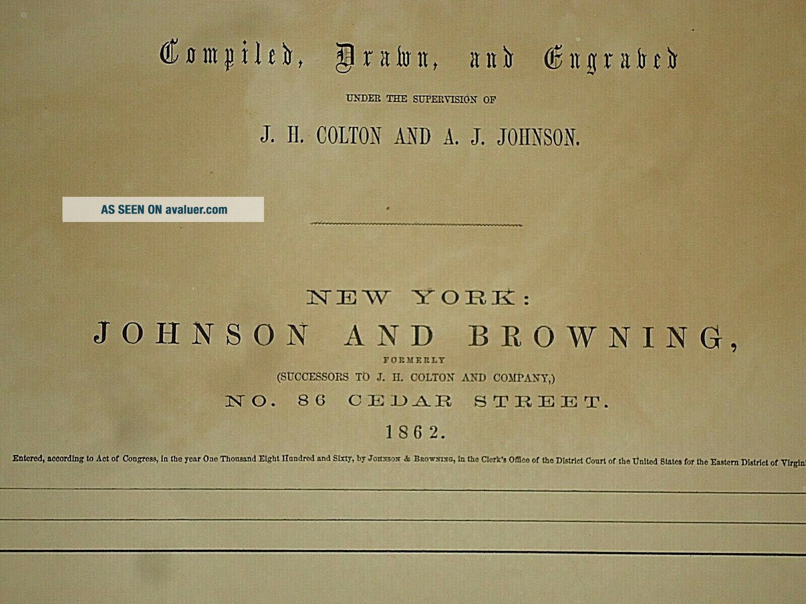
The book & title page are not included but only used as a verification reference.
Maphatter Auctions & Store listings offer only Original Authentic Antique
Atlas Maps from the 1850's - 1890's. Including Hundreds of Rare Civil War
Period United States, State & City Maps. Only Authentic Originals
- no copies, posters or reproductions. If you are not %100 satisfied
with your purchase, please contact me.
Always Fast & Free Shipping in the United States.
Calculated USPS International First Class shipping around the world.
All maps are shipped securely is a Mailing Tube.
PLEASE VISIT MY OTHER MAP STORE " 20th CENTURY MAPS " FOR MAPS 1900-1960
This Map was removed form an 1862 Atlas and is in good acceptable condition.
These maps are harvested from antique atlas books that are in poor unusable condition.
I retain only best condition maps and offer them for sale for your enjoyment.
It may have some age wear such as minor wear or small tears along
the page edges, foxing, spots, paper browning & brittle paper from over&nb...sp;
150+ years of aging. Study the photos carefully, this is the actual map you
will receive. The page is approx 18" x 26 1/2". This map is not dated.
The book & title page are not included but only used as a verification reference.
Maphatter Auctions & Store listings offer only Original Authentic Antique
Atlas Maps from the 1850's - 1890's. Including Hundreds of Rare Civil War
Period United States, State & City Maps. Only Authentic Originals
- no copies, posters or reproductions. If you are not %100 satisfied
with your purchase, please contact me.
Always Fast & Free Shipping in the United States.
Calculated USPS International First Class shipping around the world.
All maps are shipped securely is a Mailing Tube.
PLEASE VISIT MY OTHER MAP STORE " 20th CENTURY MAPS " FOR MAPS 1900-1960