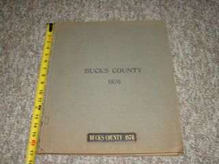
1876 J D Scott Atlas Bucks County, 108 Pages, Color Maps


Item History & Price

Information:
Reference Number: Avaluer:51441Format: Atlas
Date Range: 1800-1899Type: Atlas
US State: PennsylvaniaOriginal/Reproduction: Antique Original
Country/Region: United States of America
Original Description:
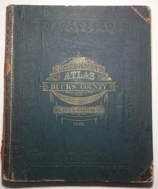
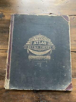
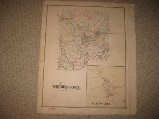
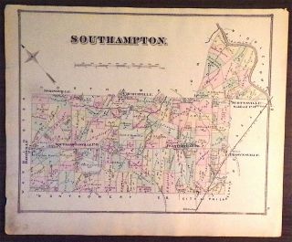
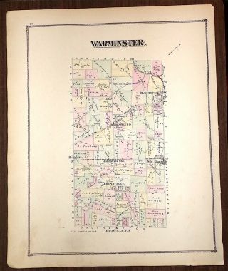
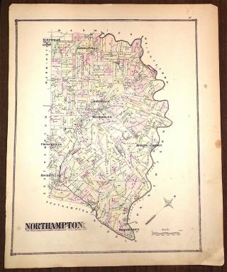
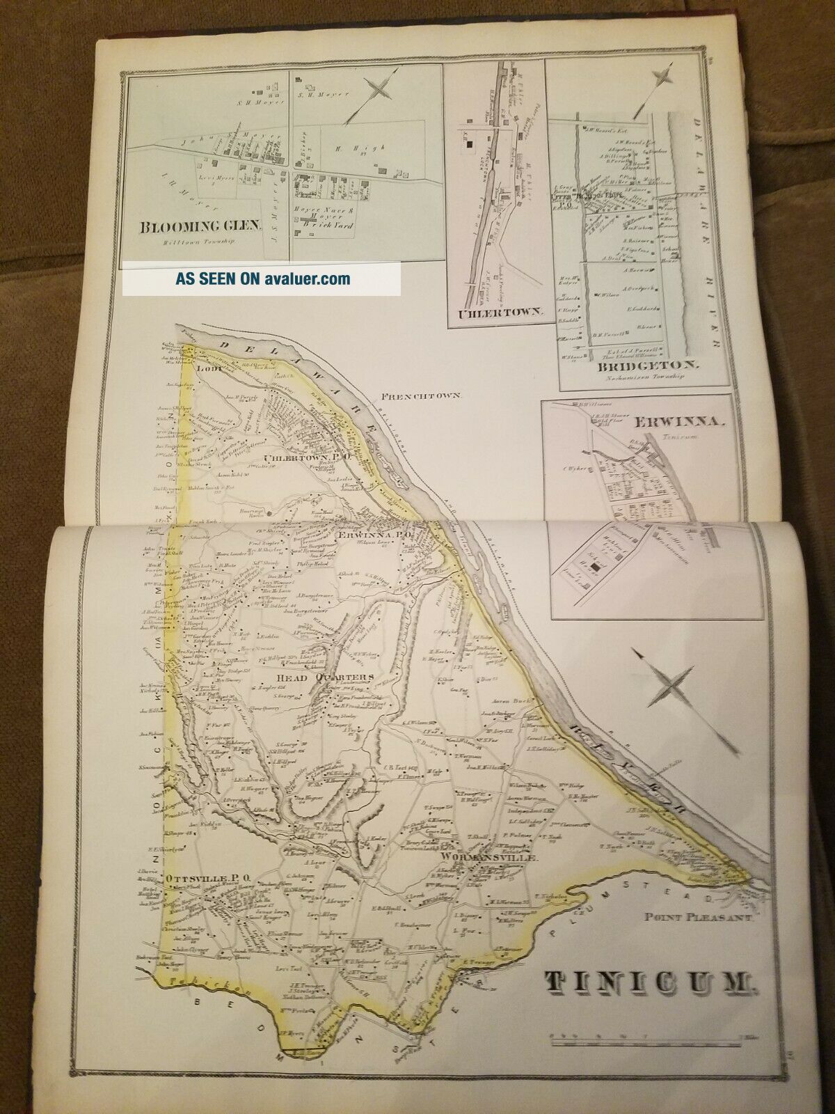
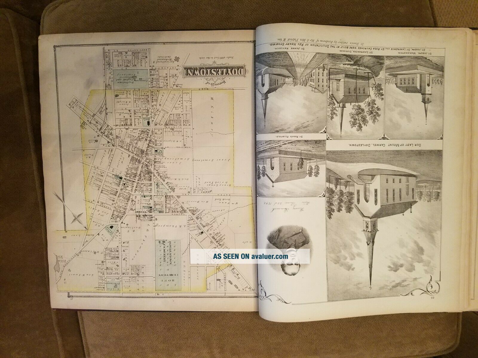
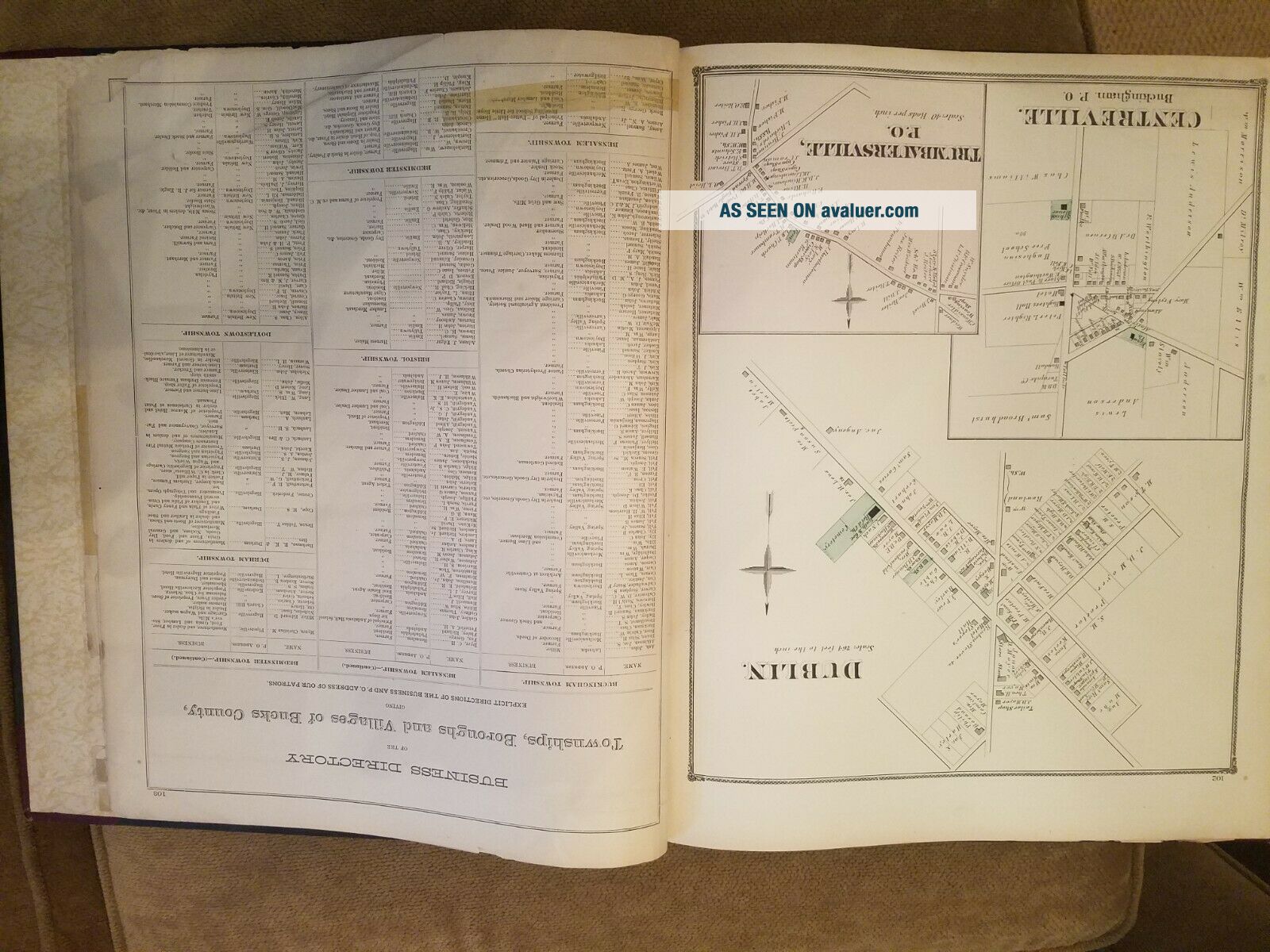
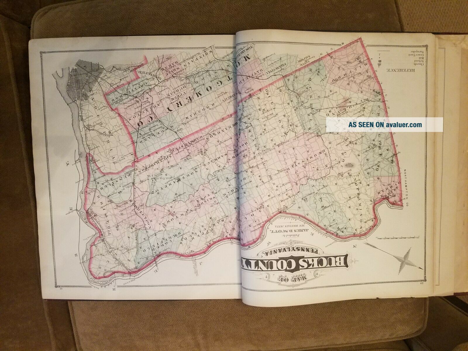
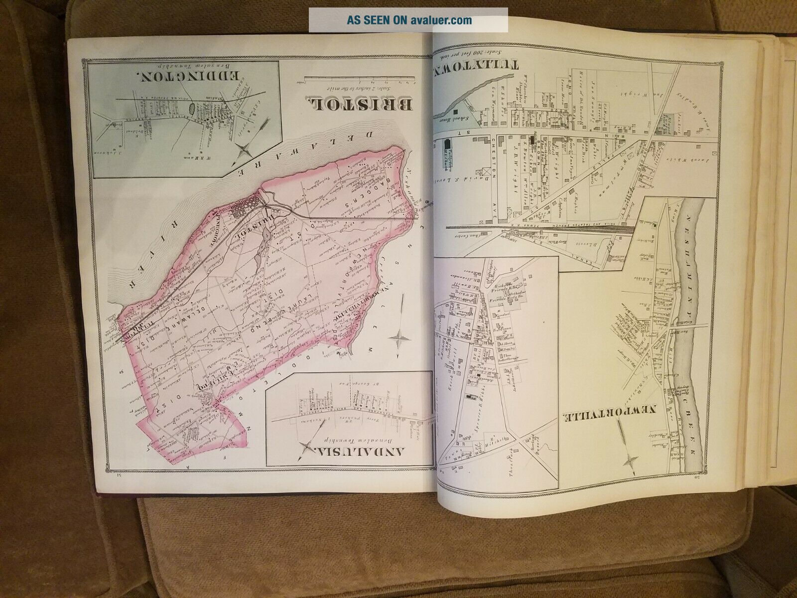
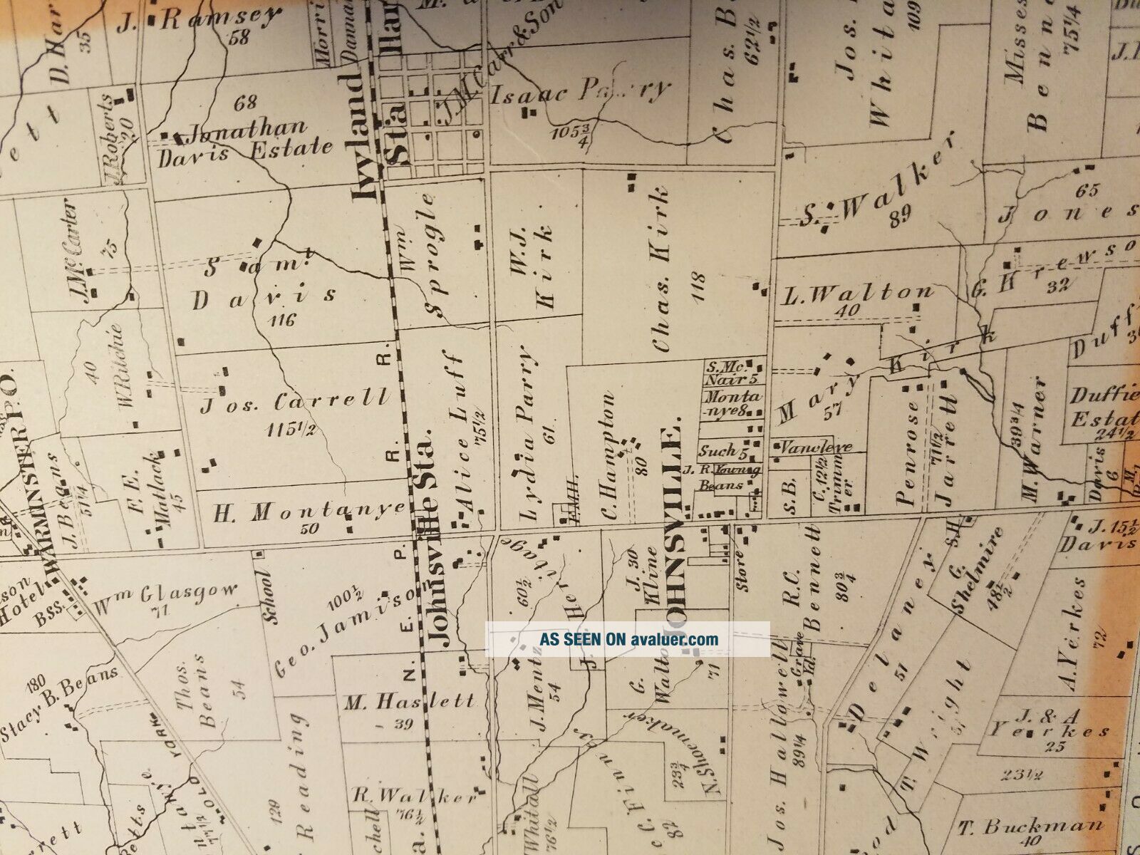
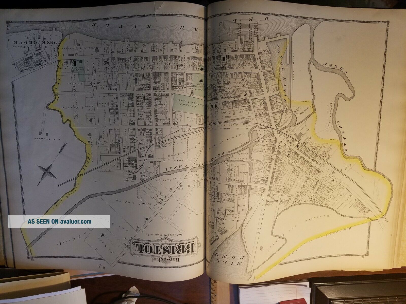
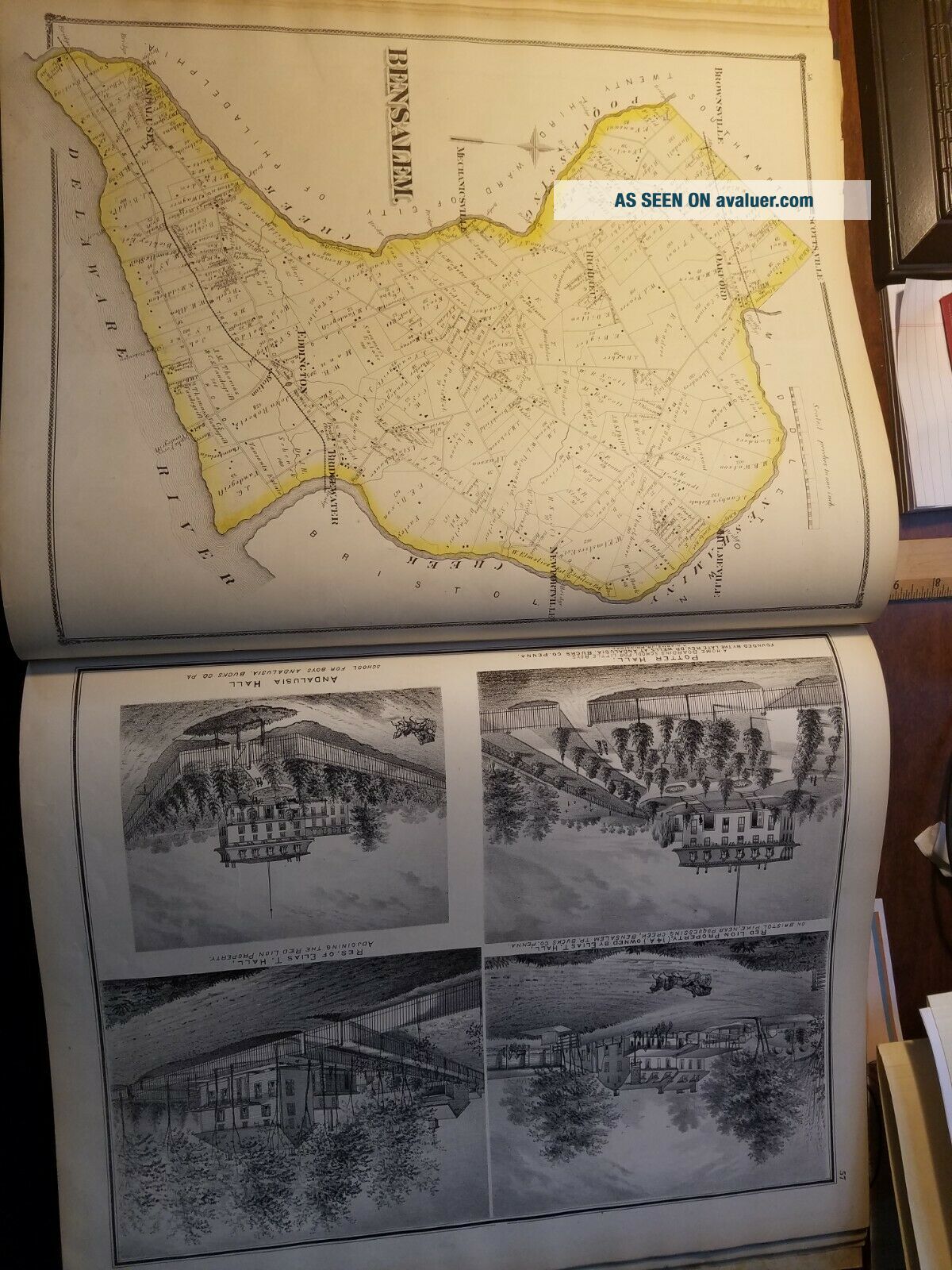
Original CentennialAtlas of Bucks County, Pennsylvaniaby J. D.ScottPublished by: J.D.Scott, Philadelphia, PA, 1876.Hardback is overall in GOOD condition. Volume displays expected wear and aging for antiquarian book (143 Years Old!). Green covers feature raised lettering design.  Cover has wear spots (see picture) that do not impact the words and date. Color illustrations are overall well preserved, showing occasional staining, mostly marginal. Interior shows expected ton...ing and occasional staining throughout. Inside pages are free of writing and intentional marks.  Book may exhibit additional minor signs of age or wear.108 pages. 14.5 x 17.5inches. A magnificent atlas on the beautiful region of Bucks County, PA. The atlas combines the geographical and historical contexts and evolution, to givea clear depiction of the county, what it has become and how. The generalhistory is explored township after township, while the maps provide a guide tothe exact locations and geographical space.  Lavishly illustrated with color maps, as well as lithographs, throughout book. Includes townships and boroughs maps, boroughs maps andvillages and towns plans, as well as lithographic views. While single pages from thisatlas can be found, it is rare to find this original 143 year old complete atlas.It’s a treasure.  AS IS! Please see photos. More photos available upon request.


    Similar items


  • Centennial Atlas Of Bucks County Pennsylvania 1876 J.  D.  Scott Illustrated

    Centennial Atlas Of Bucks County Pennsylvania 1876 J. D. Scott Illustrated

  • Bucks County Pennsylvania 1876 J.  D.  Scott Centennial Atlas Maps

    Bucks County Pennsylvania 1876 J. D. Scott Centennial Atlas Maps

  • Antique 1876 Wrightstown Township Penns Park Bucks County Pennsylvania Map Nr

    Antique 1876 Wrightstown Township Penns Park Bucks County Pennsylvania Map Nr

  • Vickers: A History J.  D.  Scott 1963 Armstrong Whitworth Supermarine Spitfire

    Vickers: A History J. D. Scott 1963 Armstrong Whitworth Supermarine Spitfire

  • Township Map Of Southampton Pa.  From Scotts Atlas Of Bucks County,  1876

    Township Map Of Southampton Pa. From Scotts Atlas Of Bucks County, 1876

  • Township Map Of Warminster Pa.  From Scotts Atlas Of Bucks County,  1876

    Township Map Of Warminster Pa. From Scotts Atlas Of Bucks County, 1876

  • Township Map Of Northampton Pa.  From Scotts Atlas Of Bucks County,  1876

    Township Map Of Northampton Pa. From Scotts Atlas Of Bucks County, 1876

  • Antique 1876 Bucks County Pa Atlas Maps Lithographs By Scott 15x17 Hardback 108p

    Antique 1876 Bucks County Pa Atlas Maps Lithographs By Scott 15x17 Hardback 108p


    • You might also like


    • 1860 Mitchell Hand Colored Map Colorado,  Nebraska & Kansas - Civil War Era

      1860 Mitchell Hand Colored Map Colorado, Nebraska & Kansas - Civil War Era

    • 18th Century French Map Of North America

      18th Century French Map Of North America

    • Las Vegas Nevada Vintage 1967 Us Geological Survey Quadrangle Map 4 Panels

      Las Vegas Nevada Vintage 1967 Us Geological Survey Quadrangle Map 4 Panels

    • Rare Antique 1845 Maps United States Exploring Expedition Book Antartica Hawaii

      Rare Antique 1845 Maps United States Exploring Expedition Book Antartica Hawaii

    • Vintage 1926 Map Hollywood From The Best Surveys Of The Time

      Vintage 1926 Map Hollywood From The Best Surveys Of The Time

    • American Continent (western Hemisphere) 1747 Bowen Antique Copper Engraved Map

      American Continent (western Hemisphere) 1747 Bowen Antique Copper Engraved Map

    • Gulf Coast Florida Texas United States 1705 De Fer Unusual Antique Engraved Map

      Gulf Coast Florida Texas United States 1705 De Fer Unusual Antique Engraved Map

    • California As Island United States 1700 De Fer Unusual First Edition Antique Map

      California As Island United States 1700 De Fer Unusual First Edition Antique Map

Avaluer          About Us          Privacy Policy          Contact Us          UP
© 2022, avaluer.net, Inc. or its affiliates