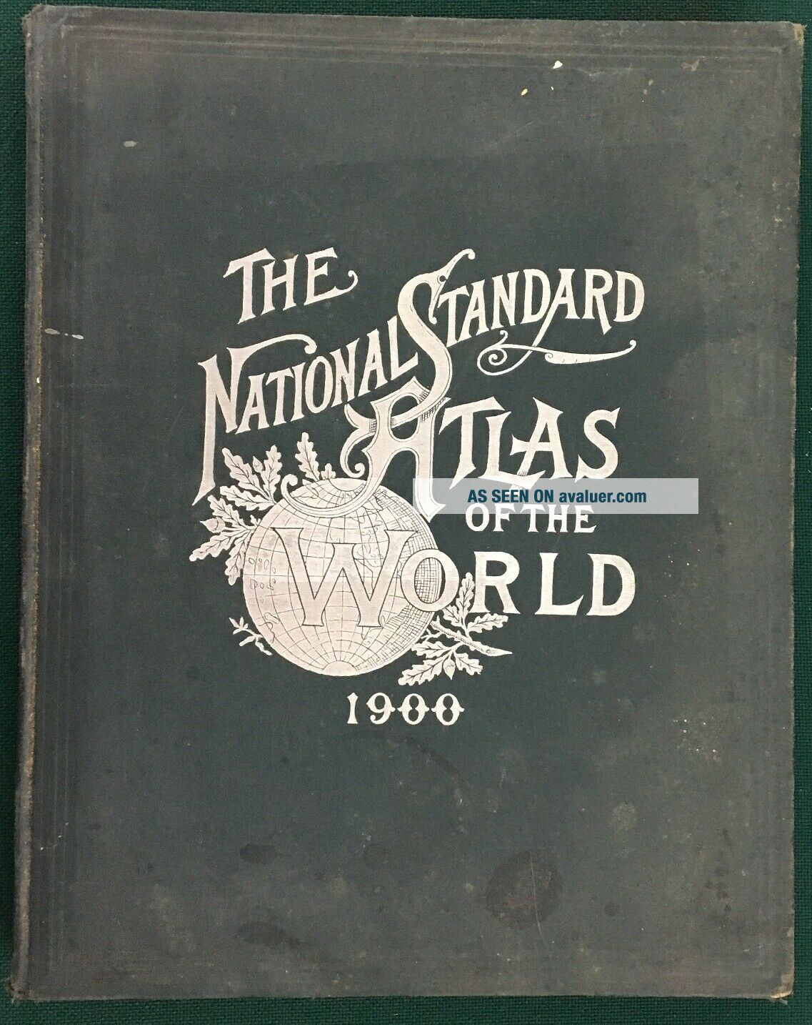
1900 NATIONAL STANDARD FAMILY & BUSINESS ATLAS OF THE WORLD; MAPS, 1890 Census
Item History & Price
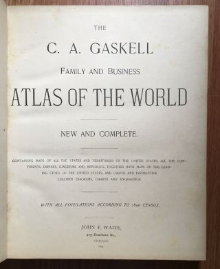
Very nice 1900 National Standard Family and Business Atlas of the World with Population according to the 1890 Census by Thompson & Thomas of Chicago. Copyright Secured by The Fort Dearborn Publishing Company, 1900.
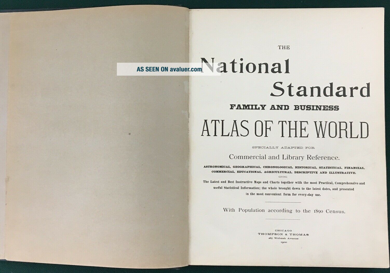
"...specially adapted for Commercial and Library Reference. Astronomical, Geographical, Chronological, Historical, Statistical, Financial, Commercial, Education, Agricultural, Descriptive and Illustrative giving the Latest and Best Instructive Maps and Charts together... with the most Practical, Comprehensive and useful Statistical Information; the whole brought down to the latest dates, and presented in the most convenient form for every-day use."
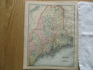
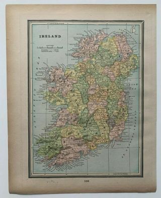
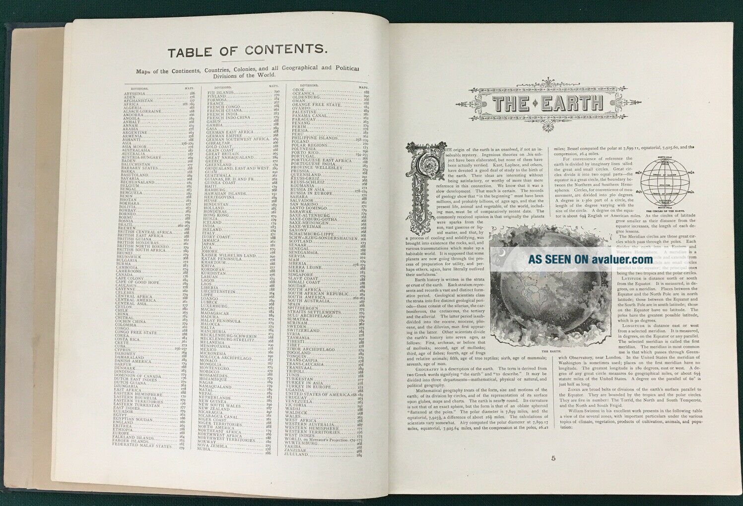
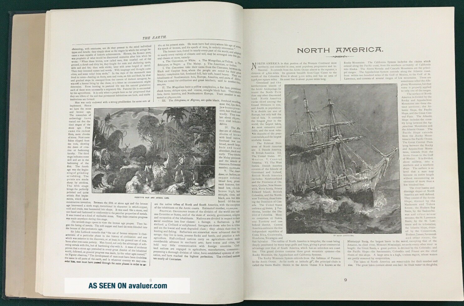
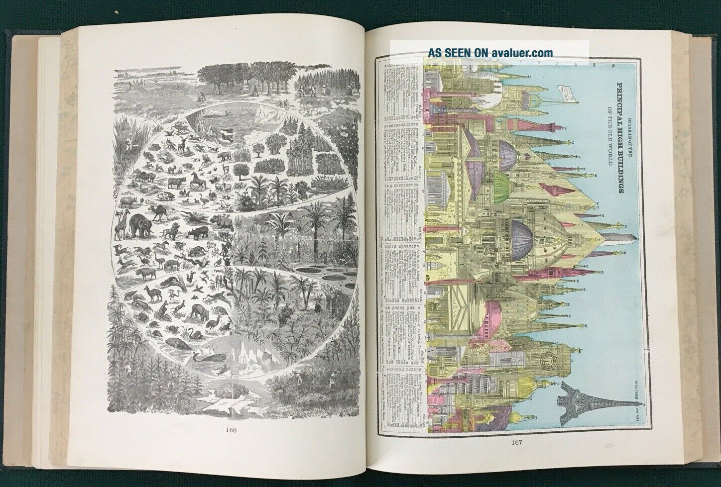
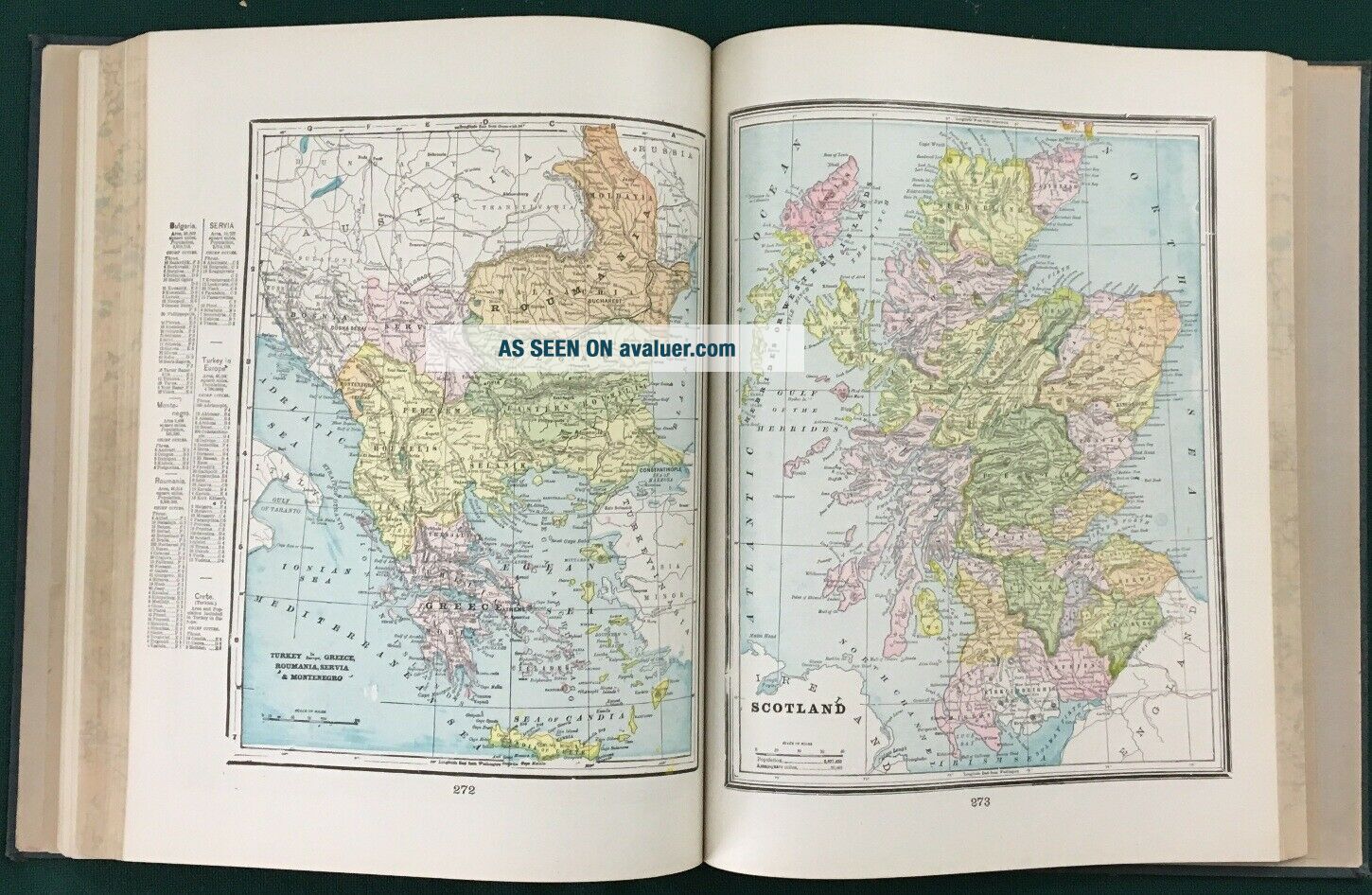
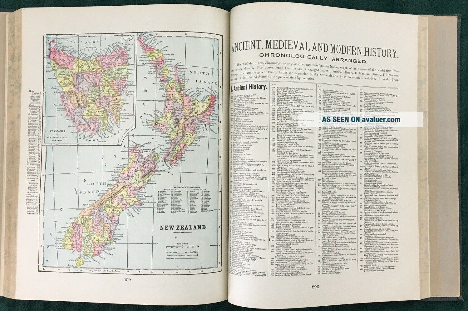
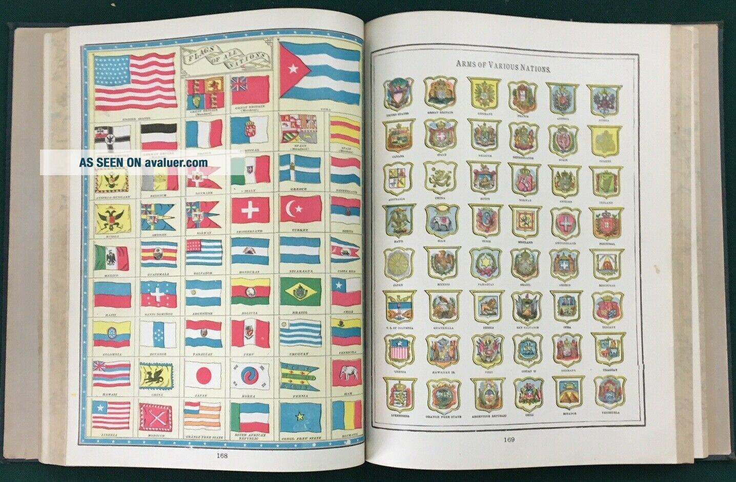
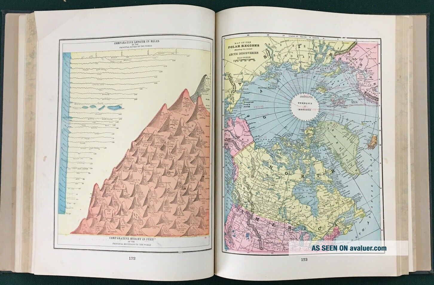
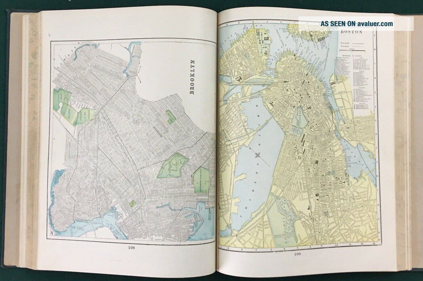
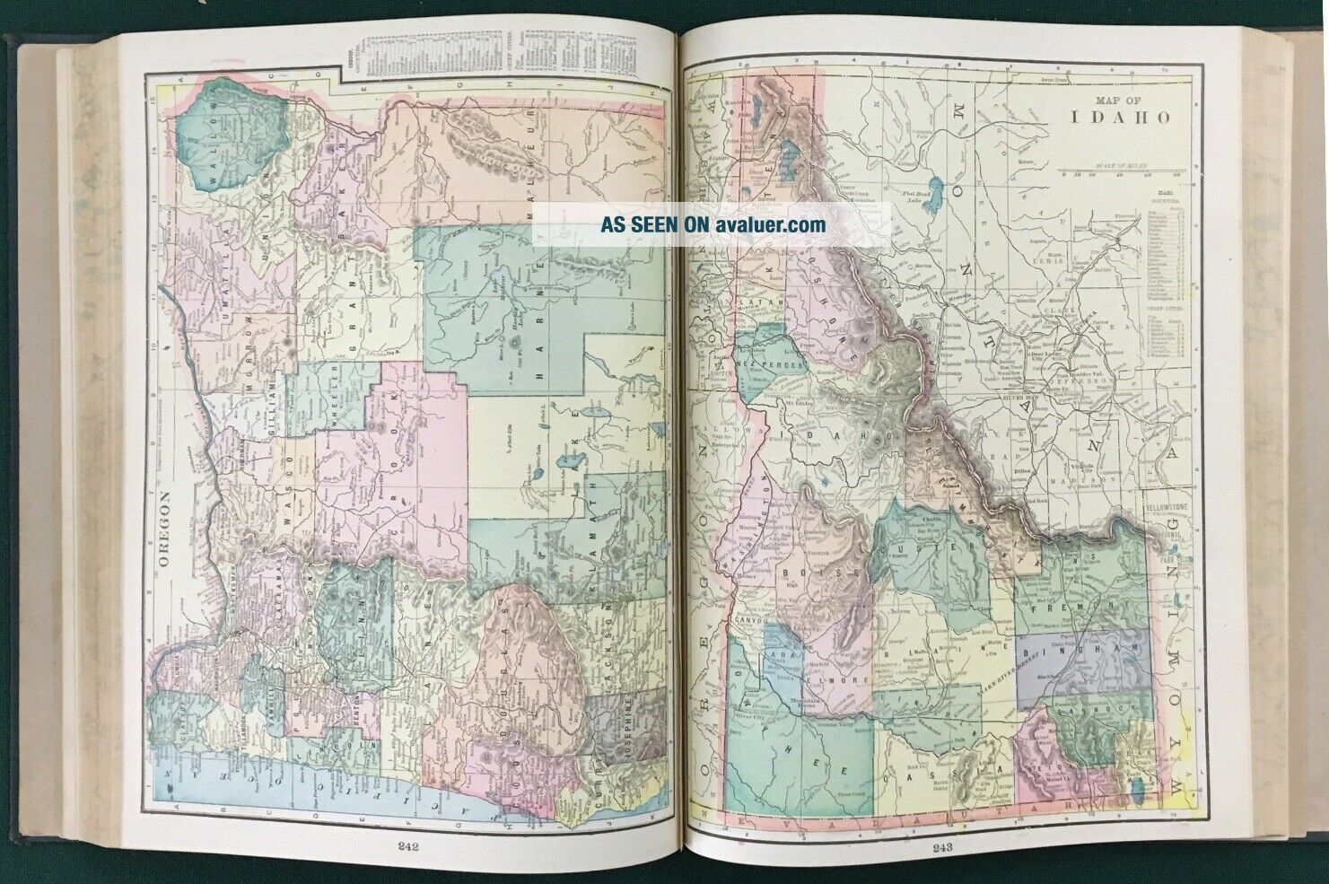
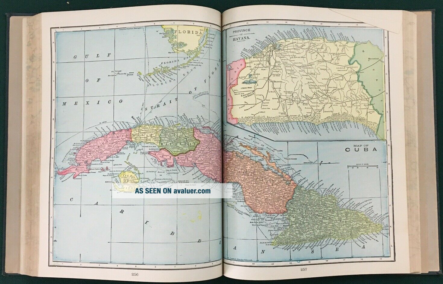
Table of Contents includes: Political Divisions of the United State, Canada, Mexico and Cuba; Maps of Cities; Miscellaneous Matter Comprising Charts, Maps, Descriptive Matter and History Concerning Various Parts of the World; and Maps of the Continents, Countries, Colonies and all Geographical and Political Divisions of the World.
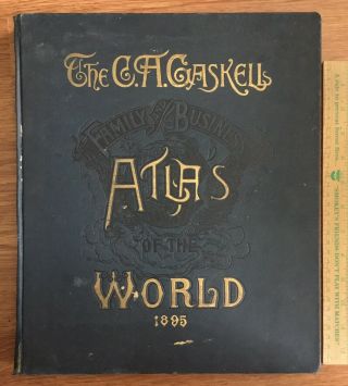
Condition is good to very good - a few creased corners and a bit of staining/spotting inside, but otherwise very nice; some damage at spine inside front and back cover; cover shows age and wear - some staining on front cover; spine and corners are worn (see photos). Size: 12" x 15" and 404 pages.Feel free to contact us through the ebay message center for additional photos and/or information. We will reply to your messages promptly. Item will be boxed with air pockets and bubble wrap for protection and mailed via USPS (Media Mail w/ tracking). International orders are shipped through ebay Global Shipping Program.
"...specially adapted for Commercial and Library Reference. Astronomical, Geographical, Chronological, Historical, Statistical, Financial, Commercial, Education, Agricultural, Descriptive and Illustrative giving the Latest and Best Instructive Maps and Charts together... with the most Practical, Comprehensive and useful Statistical Information; the whole brought down to the latest dates, and presented in the most convenient form for every-day use."
Table of Contents includes: Political Divisions of the United State, Canada, Mexico and Cuba; Maps of Cities; Miscellaneous Matter Comprising Charts, Maps, Descriptive Matter and History Concerning Various Parts of the World; and Maps of the Continents, Countries, Colonies and all Geographical and Political Divisions of the World.
Condition is good to very good - a few creased corners and a bit of staining/spotting inside, but otherwise very nice; some damage at spine inside front and back cover; cover shows age and wear - some staining on front cover; spine and corners are worn (see photos). Size: 12" x 15" and 404 pages.Feel free to contact us through the ebay message center for additional photos and/or information. We will reply to your messages promptly. Item will be boxed with air pockets and bubble wrap for protection and mailed via USPS (Media Mail w/ tracking). International orders are shipped through ebay Global Shipping Program.