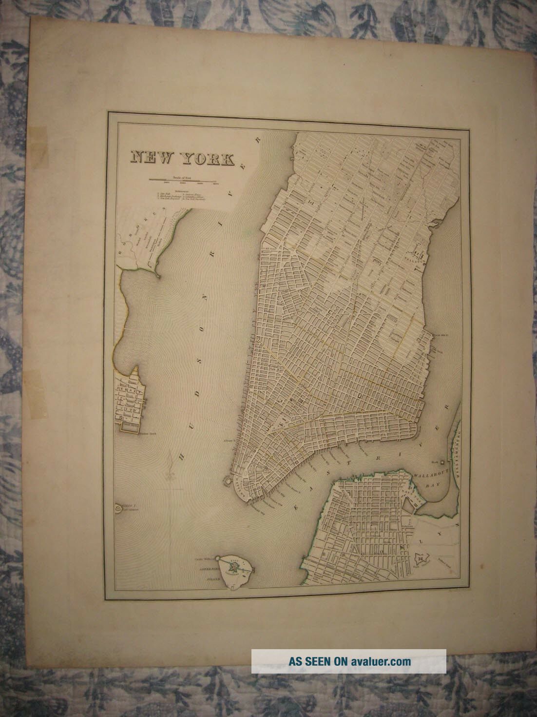
LARGE IMPORTANT ANTIQUE 1838 YORK CITY MANHATTAN BRADFORD HANDCOLORED MAP NR
Item History & Price
| Reference Number: Avaluer:54322 | US State: New York |
| Topic: Maps | City: New York |
| Year: 1838 | Type: City Map |
| Publication Year: 1838 |

| Reference Number: Avaluer:54322 | US State: New York |
| Topic: Maps | City: New York |
| Year: 1838 | Type: City Map |
| Publication Year: 1838 |
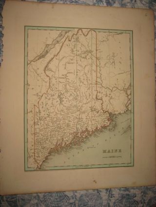
Large Important Antique 1838 Maine Bradford Handcolored Map Portland Bangor Nr
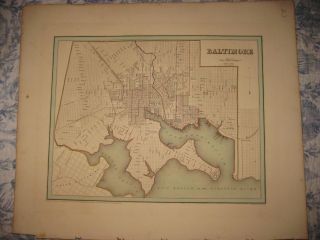
Large Important Antique 1838 Baltimore Maryland Bradford Handcolored Map
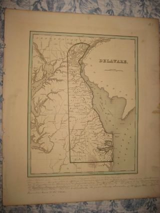
Large Important Antique 1838 Delaware Bradford Handcolored Map Castle Dover
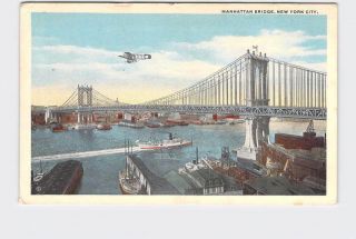
Antique Postcard York City Manhattan Bridge Biplane Boat On Water
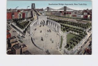
Antique Postcard York City Manhattan Bridge Approach Birds Eye View Horse Bu
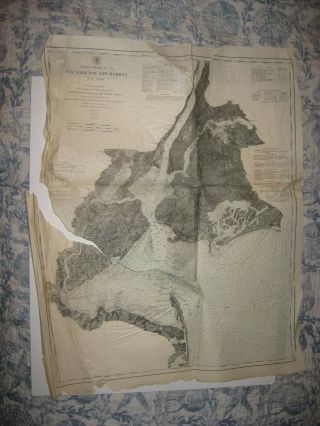
Antique 1878 York City Manhattan Bay Harbor Coast Handcolored Dated Map Rare

Antique Early York City Manhattan Trinity Church Old Cityscape Oil Painting
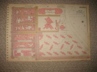
Antique 1955 York City Manhattan Map Peter Cooper Village Dock Areas Detaile

1860 Mitchell Hand Colored Map Colorado, Nebraska & Kansas - Civil War Era

18th Century French Map Of North America

Las Vegas Nevada Vintage 1967 Us Geological Survey Quadrangle Map 4 Panels

Rare Antique 1845 Maps United States Exploring Expedition Book Antartica Hawaii

Vintage 1926 Map Hollywood From The Best Surveys Of The Time

American Continent (western Hemisphere) 1747 Bowen Antique Copper Engraved Map

Gulf Coast Florida Texas United States 1705 De Fer Unusual Antique Engraved Map

California As Island United States 1700 De Fer Unusual First Edition Antique Map