Antique Map, Das Von Denen Spaniern In Anno 1727, Belagerte Gibraltar


Item History & Price

Information:
Reference Number: Avaluer:57086
Original Description:
Title: Das von denen Spaniern in Anno 1727, belagerte Gibraltar Description:The siege of Gibraltar in 1727 was its 13th siege, of which two were conducted by Spain.On the 11th February the Spanish commander, the Marquis de las TorresSpain, laid siege to the 'Rock'. After 4 months, and after the British garrison had been strengthened by an additional 3, 500 troops, the Spanish withdraw with a loss of 1400 men.Publication: Americanische urquelle derer innerlichen kriege des bedrangten. T...eutschlands. Author: Heiden (Heyden). C F, . Engraver: Bodenehr, G. Augsburg, 1760Condition: Very good. The map has been cleaned and pressed and is ready for framing.Color: UncolouredSize (h x w): 20.0 x 53.0 cm. (sheet)Technique: copper-plate engraving.Ref: JJB2301
Powered by eBay Turbo Lister


    Similar items


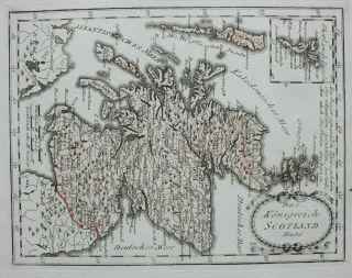
  • Scotland Antique Map

    Scotland Antique Map ' Das Konigreich Scotland Nro 86 ' Von Reilly C. 1790
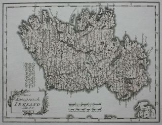
  • Ireland Antique Map,

    Ireland Antique Map, ' Das Konigreich Ireland Nro 89 ' Von Reilly, C. 1790
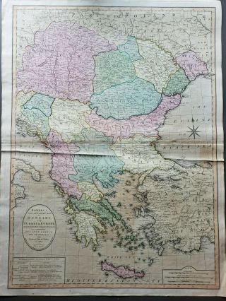
  • Antique Map Of Hungary And Turkey In Europe Or Greece And The Balkans
    Antique Map Of Hungary And Turkey In Europe Or Greece And The Balkans

  • Antique Map.  Italy.  Naples.  Mount Vesuvius In 1631 Year.  Hans Kraemer.  C 1900
    Antique Map. Italy. Naples. Mount Vesuvius In 1631 Year. Hans Kraemer. C 1900

  • Authentic 1904 Antique Map Of " City Of London In 1658 " By Faithorne And Newcourt

    Authentic 1904 Antique Map Of " City Of London In 1658 " By Faithorne And Newcourt

  • Antique Map: World Showing European Colonies In 1895 By F S Weller,  C 1900

    Antique Map: World Showing European Colonies In 1895 By F S Weller, C 1900

  • Ww1 Antique Map British & German Mine Fields In The North Sea

    Ww1 Antique Map British & German Mine Fields In The North Sea

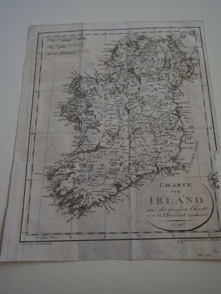
  • Antique Map " Charte Von Irland " 1798 Ireland

    Antique Map " Charte Von Irland " 1798 Ireland


    • You might also like


    • Hungary & Romania 1579 (1584) Ortelius Unusual Antique Copper Engraved Map

      Hungary & Romania 1579 (1584) Ortelius Unusual Antique Copper Engraved Map

    • Brussels Bruxelles Belfium 1777 De Ferraris & Dupuis Large Antique Map Sheet Xxi

      Brussels Bruxelles Belfium 1777 De Ferraris & Dupuis Large Antique Map Sheet Xxi

    • 1616 Atlas Map Of Iceland.

      1616 Atlas Map Of Iceland.

    • Kazan Russia 1767 Le Clerc/lespinasse Antique Copper Engraved City View

      Kazan Russia 1767 Le Clerc/lespinasse Antique Copper Engraved City View

    • 1899 Stanford,  Folding Map Of Norwich,  Norfolk,  Arthur Collins,  Jarrold & Sons,

      1899 Stanford, Folding Map Of Norwich, Norfolk, Arthur Collins, Jarrold & Sons,

    • 1948 Vintage Linen Colour Map Geological Survey Ten Mile Of Great Britain

      1948 Vintage Linen Colour Map Geological Survey Ten Mile Of Great Britain

    • 1944 Map Flying Bombs Sussex Ww2 Newspaper Military Kent Courier German V1 V2

      1944 Map Flying Bombs Sussex Ww2 Newspaper Military Kent Courier German V1 V2

    • Dated 1638 Vellum Map Of Icklesham Sussex Showing Land Uses Owners Etc
      Dated 1638 Vellum Map Of Icklesham Sussex Showing Land Uses Owners Etc

Avaluer          About Us          Privacy Policy          Contact Us          UP
© 2022, avaluer.net, Inc. or its affiliates