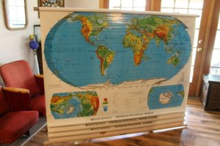
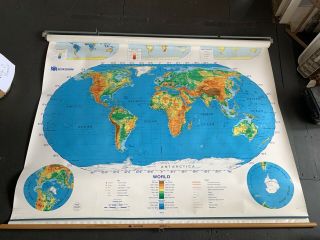
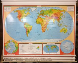
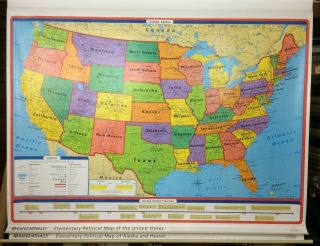
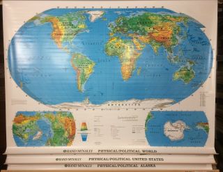
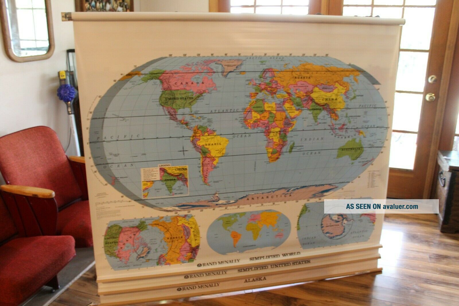
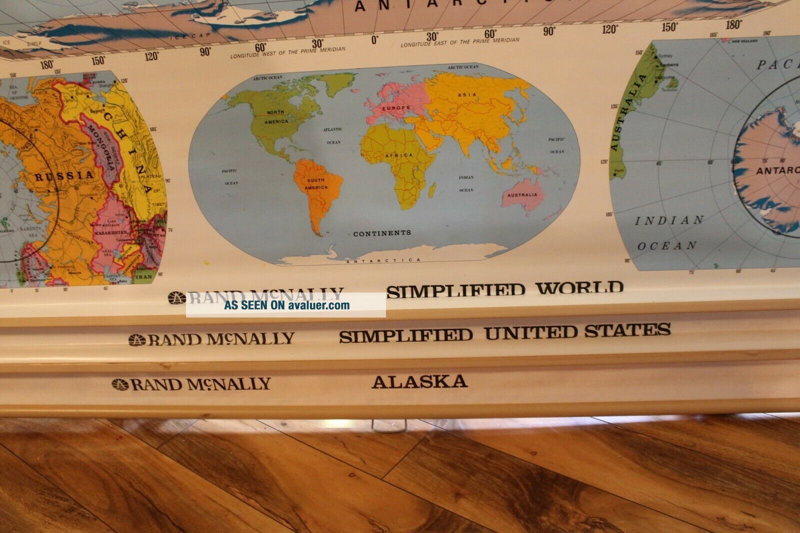
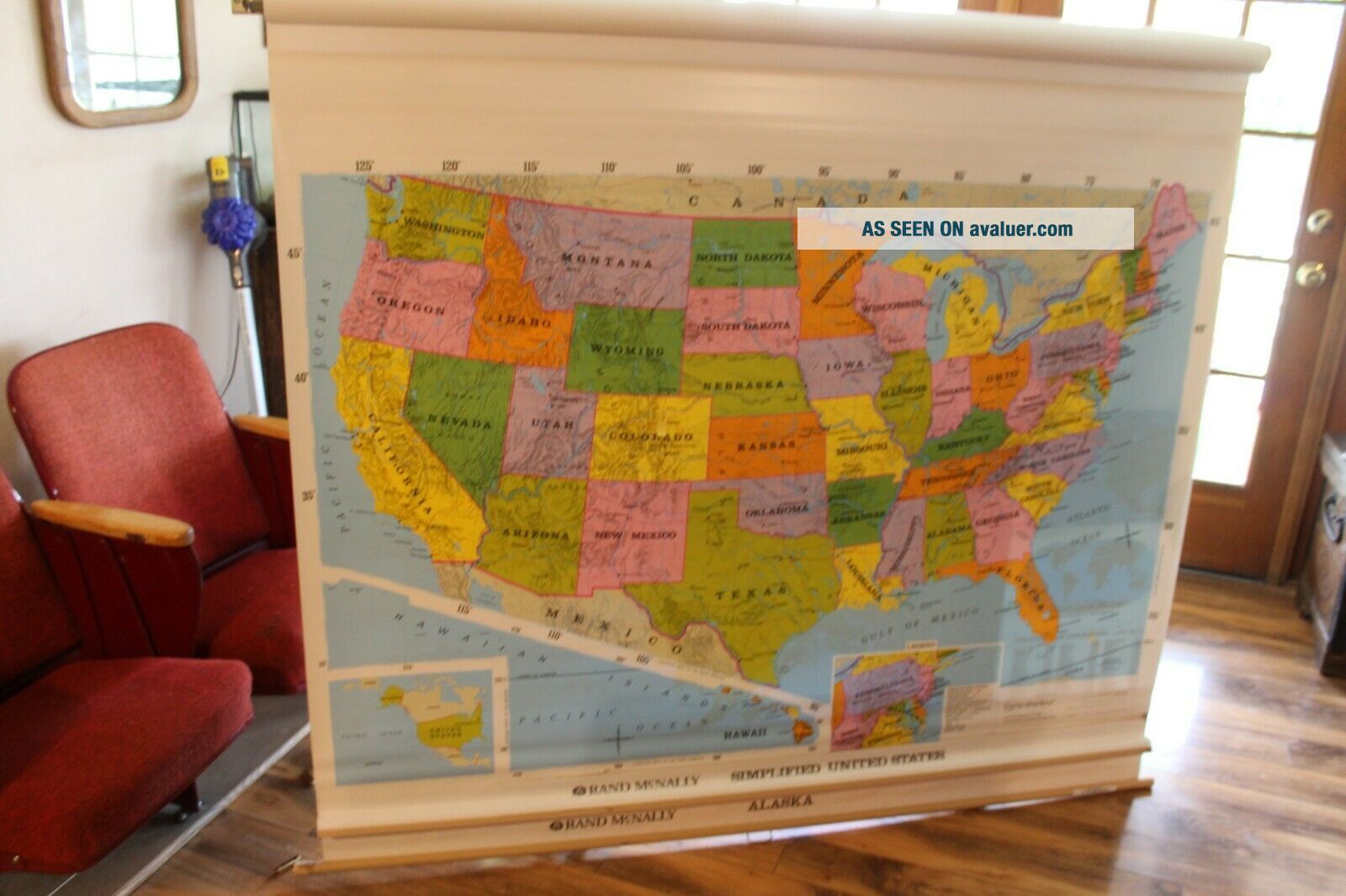
WORLD, US UNITED STATES, ALASKA Large Pull Down Classroom 3 Map Rand McNally

Item History & Price
| Reference Number: Avaluer:57637 | Re-Order #: 118121995 |
| Topic: United States | Format: Pull Down Map |
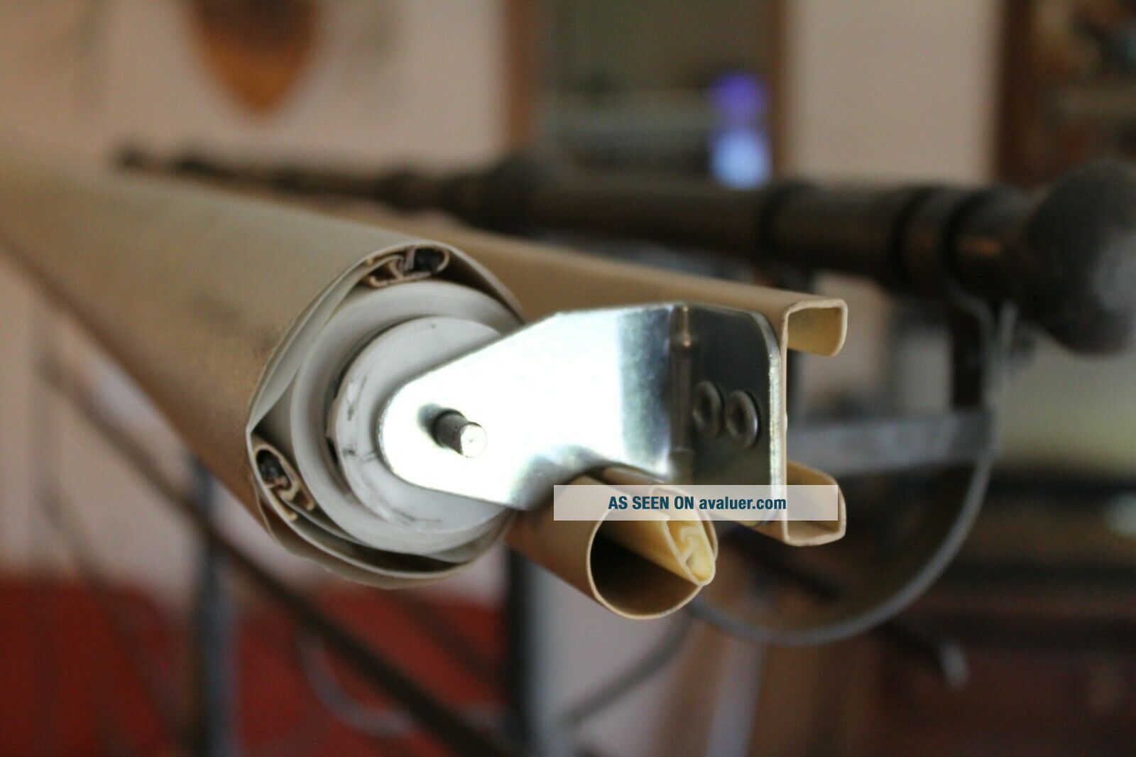
| Maker: Rand Mcnally | Type: pull down |
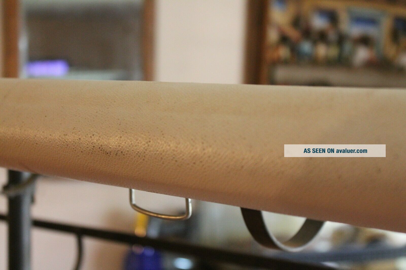
Overall good shape.
normal signs of use.
Pulls up and down freely.
Thanks
normal signs of use.
Pulls up and down freely.
Thanks