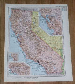
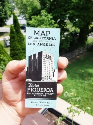
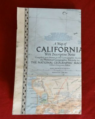
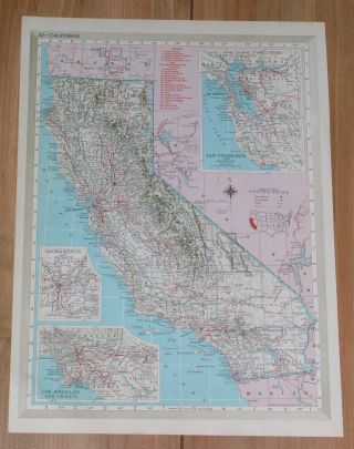
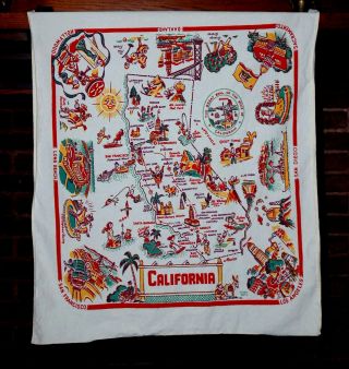
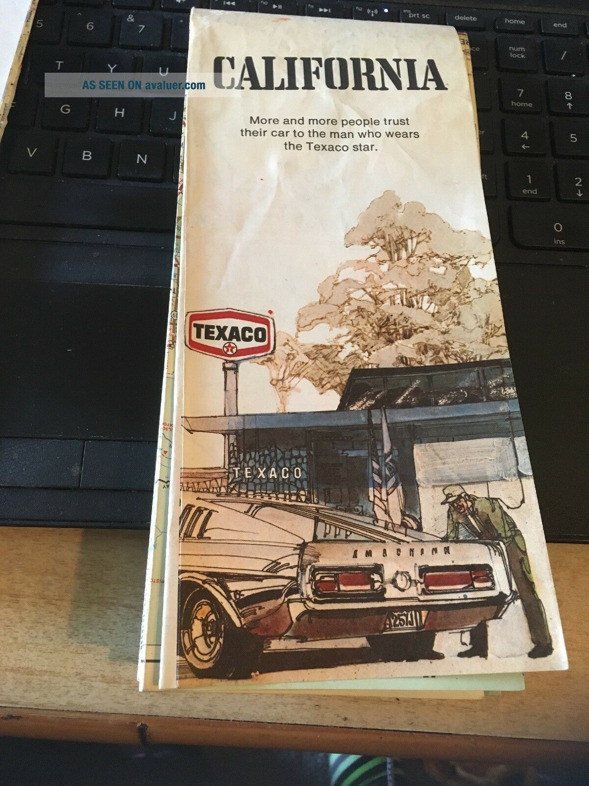
Vintage Map; 1972 Texaco Map Of California


Item History & Price

Information:
Reference Number: Avaluer:58901574
Original Description:
Vintage Map; 1972 Texaco Map of California

110918 yellowThe Fine Print:
Payment Required Within 48 HoursINTERNATIONAL SHIPPING: Is through ebay Shipping at the postal rate(First Class International package up to 4 lbs or priority international )
All orders will ship through ebay shipping, no exceptionsShipping discounts are available for multi item purchases to any US Address or international  orders when possibleYour Item will be packed well , Dont Worry !
...r> It is the buyer's responsibility to cancel if for any reason they are unable or unwilling to complete a transaction. And if you Change your mind its ok, please don't blame your kid or send me some story to make me feel sorry for you. 


    Similar items


  • 1951 Vintage Map Of California San Francisco Los Angeles Verso Colorado

    1951 Vintage Map Of California San Francisco Los Angeles Verso Colorado

  • 1888 Antique California Map Miniature Vintage Map Of California State Map 5189

    1888 Antique California Map Miniature Vintage Map Of California State Map 5189

  • Vintage Maps Of California/bay Area/monterey 1960

    Vintage Maps Of California/bay Area/monterey 1960 ' S - 1970 ' S

  • Disneyland Vintage Map Of California Plate

    Disneyland Vintage Map Of California Plate

  • Vintage Map Of California And Downtown Los Angeles Hotel Figueroa Promo Giveaway

    Vintage Map Of California And Downtown Los Angeles Hotel Figueroa Promo Giveaway

  • 1954 A Vintage Map Of California 29 " X 37 " The National Geographic Society

    1954 A Vintage Map Of California 29 " X 37 " The National Geographic Society

  • 1950 Vintage Map Of California Los Angeles / Verso Arkansas Little Rock

    1950 Vintage Map Of California Los Angeles / Verso Arkansas Little Rock

  • Vintage Map Of California Souvenir Table Cloth Red Mid Century Western Graphics

    Vintage Map Of California Souvenir Table Cloth Red Mid Century Western Graphics


    • You might also like


    • 1860 Mitchell Hand Colored Map Colorado,  Nebraska & Kansas - Civil War Era

      1860 Mitchell Hand Colored Map Colorado, Nebraska & Kansas - Civil War Era

    • 18th Century French Map Of North America

      18th Century French Map Of North America

    • Las Vegas Nevada Vintage 1967 Us Geological Survey Quadrangle Map 4 Panels

      Las Vegas Nevada Vintage 1967 Us Geological Survey Quadrangle Map 4 Panels

    • Rare Antique 1845 Maps United States Exploring Expedition Book Antartica Hawaii

      Rare Antique 1845 Maps United States Exploring Expedition Book Antartica Hawaii

    • Vintage 1926 Map Hollywood From The Best Surveys Of The Time

      Vintage 1926 Map Hollywood From The Best Surveys Of The Time

    • American Continent (western Hemisphere) 1747 Bowen Antique Copper Engraved Map

      American Continent (western Hemisphere) 1747 Bowen Antique Copper Engraved Map

    • Gulf Coast Florida Texas United States 1705 De Fer Unusual Antique Engraved Map

      Gulf Coast Florida Texas United States 1705 De Fer Unusual Antique Engraved Map

    • California As Island United States 1700 De Fer Unusual First Edition Antique Map

      California As Island United States 1700 De Fer Unusual First Edition Antique Map

Avaluer          About Us          Privacy Policy          Contact Us          UP
© 2022, avaluer.net, Inc. or its affiliates