Rome Street Plan 6 Antique Maps Rome Tramways Districts Outlines Index 1909


Item History & Price

Information:
Reference Number: Avaluer:58923460Printing Technique: Lithography
Era: 1900sDate Range: 1900-1909
Type: City MapOriginal/Reproduction: Antique Original
Year: 1909
Original Description:
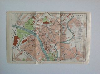
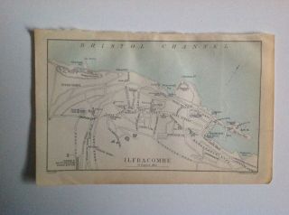
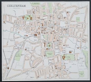
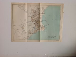
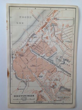
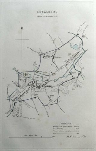
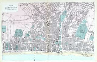
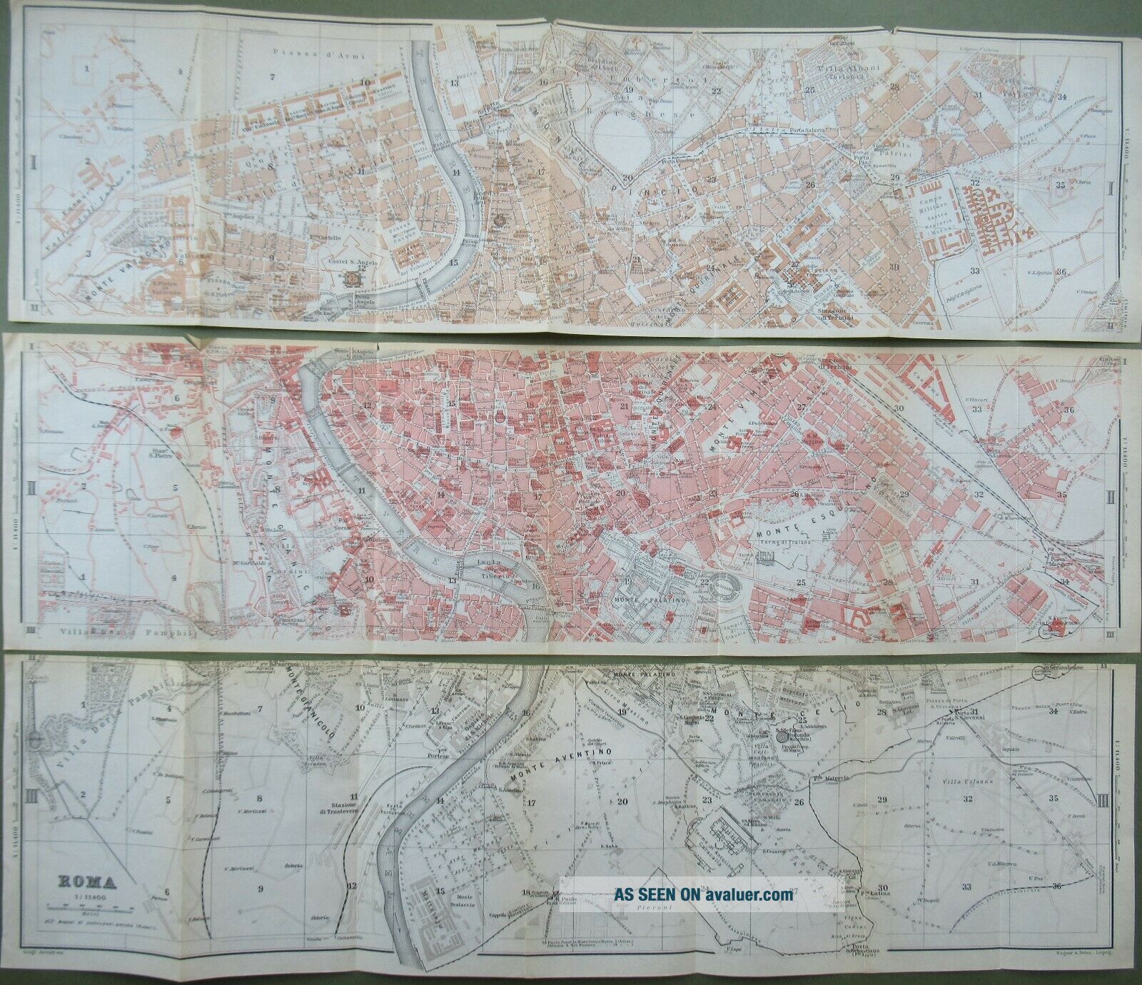
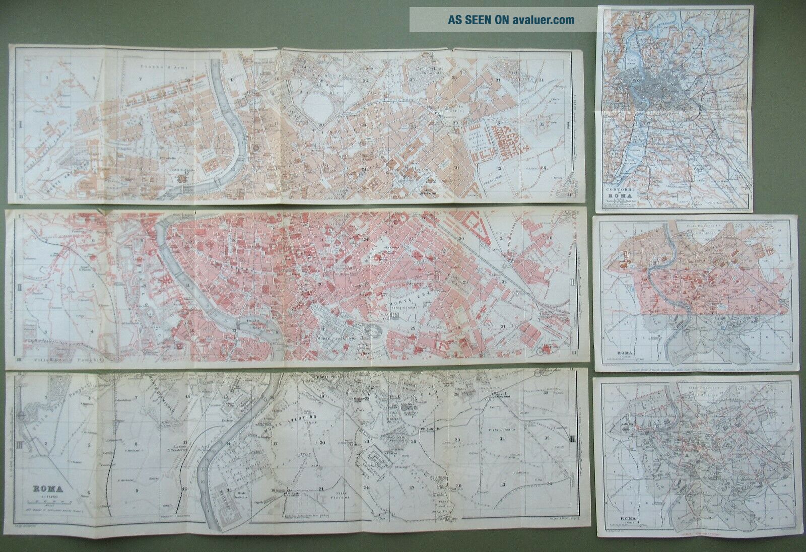
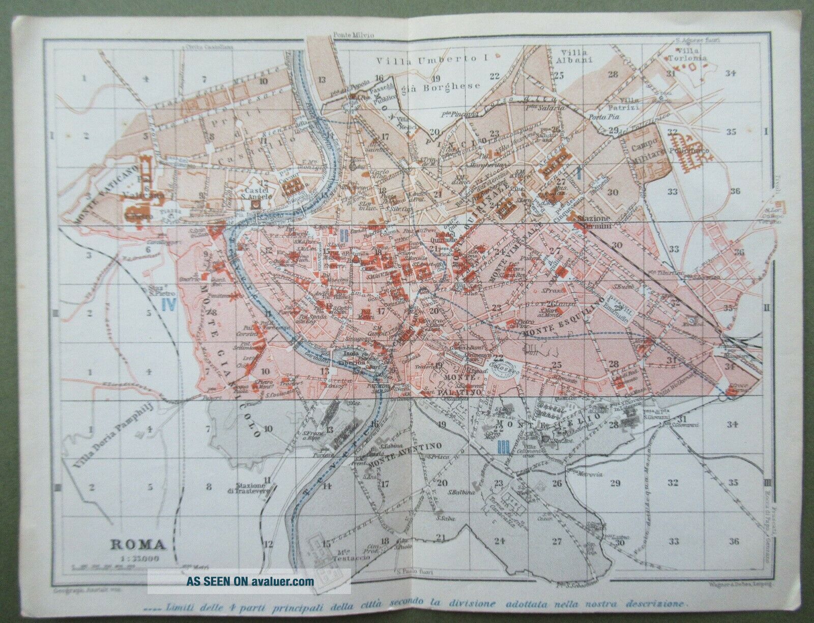
After 14 years due to retirement, I am selling my Antique Maps and Prints in Job Lots and have previously sold these Maps Individually for between £10.00 and £40.00 each.6 x Original Antique Maps from Central Italy and Rome, Handbook for Travellers by Karl Baedeker, Published by Leipzig, Karl, Baedeker 1909The 3 Long Maps are parts 1, 11 and 111 of A Street Map of the City of Rome of 1909, each part measures approx. 22.5" x 6" so put together they will measure approx. 22.5" x 18", Th...e Maps are in a generally good condition for their age of over 110 years, there is some slight discoloration with age and they all have several fold lines, map 11 has some edge damage of two small tears along the top edge - please see photos, they also have the 8 pages of Index of the Principal Streets Squares and Palaces.The other 3 Maps are of The Electric Tramways of Rome 1909 which measures approx. 8.25" x 6.25" this is in a good condition with some age toning  a fold line down the middle and some slight bumping to the two bottom cornersThe Divisions/ Districts of Rome 1909 which measure approx.8.25" x 6.25" this is in a good condition with some age toning  a fold line down the middle and some slight bumping to all the corners The Outlines of Rome 1909 which measures approx. 8.25" x 6.25" this is in a good condition with some age toning, and a fold line down the middle These are all Original maps not copies or reproductions
If you are buying more than one item from me please contact me beforepaying as I do combine postage costs which is done by weight and I will sendyou an amended invoiceOur Ref YEED154


    Similar items


  • York Street Plan,  1893,  Antique Map,  Bartholomew Atlas

    York Street Plan, 1893, Antique Map, Bartholomew Atlas

  • Ilfracombe,  Street Plan,  1892 Antique Map,

    Ilfracombe, Street Plan, 1892 Antique Map,

  • C1898 Cheltenham Antique Map Street Plan Bartholomew

    C1898 Cheltenham Antique Map Street Plan Bartholomew

  • Penzance Street Plan,  1902 Antique Map,  Bartholomew,

    Penzance Street Plan, 1902 Antique Map, Bartholomew,

  • Scheveningen Street Plan,  1910 Antique Map,  Belgium & Holland 23

    Scheveningen Street Plan, 1910 Antique Map, Belgium & Holland 23

  • Vintage Geographia Nottingham Street Plan (1960s)

    Vintage Geographia Nottingham Street Plan (1960s)

  • Godalming,  Surrey,  Uk,  Street Plan,  Dawson Antique Map 1832

    Godalming, Surrey, Uk, Street Plan, Dawson Antique Map 1832

  • Brighton & Hove,  1883 - Antique Map / Street Plan,  Bacon.

    Brighton & Hove, 1883 - Antique Map / Street Plan, Bacon.


    • You might also like


    • Hungary & Romania 1579 (1584) Ortelius Unusual Antique Copper Engraved Map

      Hungary & Romania 1579 (1584) Ortelius Unusual Antique Copper Engraved Map

    • Brussels Bruxelles Belfium 1777 De Ferraris & Dupuis Large Antique Map Sheet Xxi

      Brussels Bruxelles Belfium 1777 De Ferraris & Dupuis Large Antique Map Sheet Xxi

    • 1616 Atlas Map Of Iceland.

      1616 Atlas Map Of Iceland.

    • Kazan Russia 1767 Le Clerc/lespinasse Antique Copper Engraved City View

      Kazan Russia 1767 Le Clerc/lespinasse Antique Copper Engraved City View

    • 1899 Stanford,  Folding Map Of Norwich,  Norfolk,  Arthur Collins,  Jarrold & Sons,

      1899 Stanford, Folding Map Of Norwich, Norfolk, Arthur Collins, Jarrold & Sons,

    • 1948 Vintage Linen Colour Map Geological Survey Ten Mile Of Great Britain

      1948 Vintage Linen Colour Map Geological Survey Ten Mile Of Great Britain

    • 1944 Map Flying Bombs Sussex Ww2 Newspaper Military Kent Courier German V1 V2

      1944 Map Flying Bombs Sussex Ww2 Newspaper Military Kent Courier German V1 V2

    • Dated 1638 Vellum Map Of Icklesham Sussex Showing Land Uses Owners Etc

      Dated 1638 Vellum Map Of Icklesham Sussex Showing Land Uses Owners Etc

Avaluer          About Us          Privacy Policy          Contact Us          UP
© 2022, avaluer.net, Inc. or its affiliates