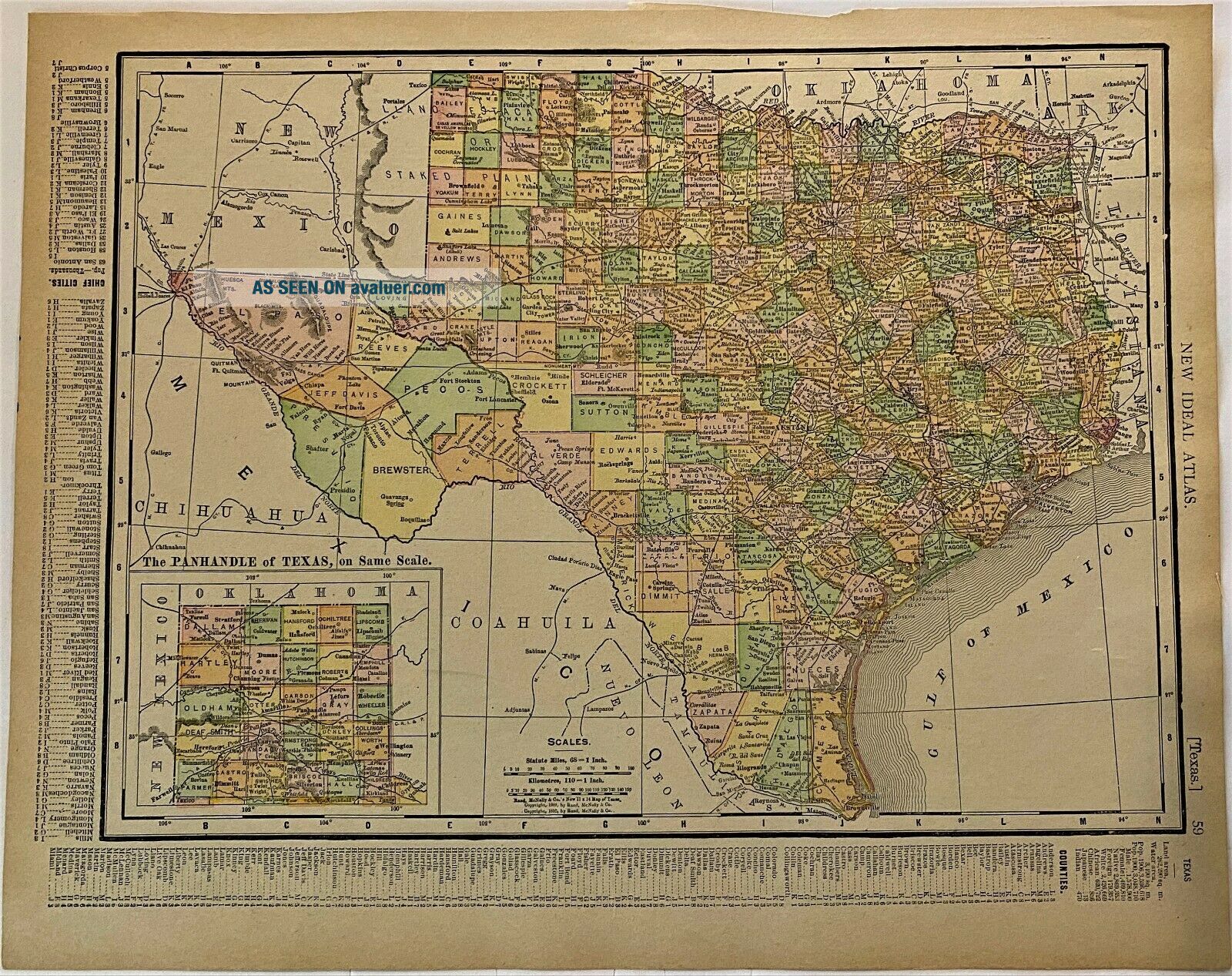
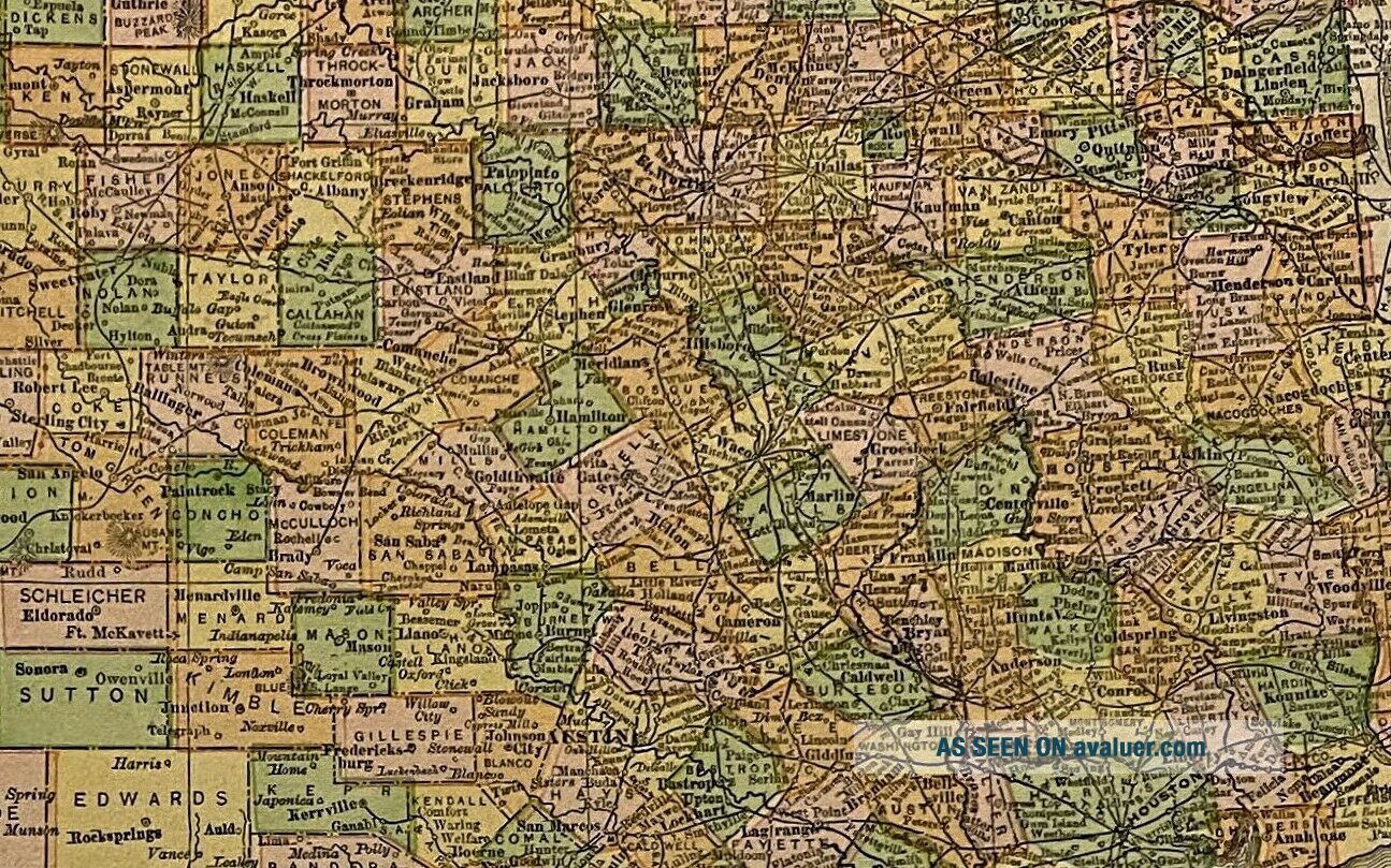
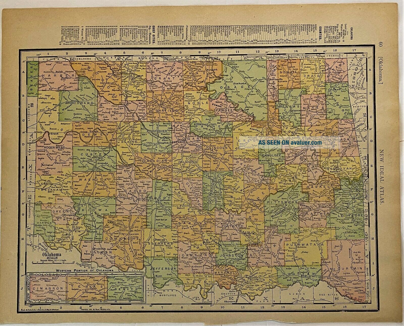
1911 Antique Rand McNally Map Of Texas And Oklahoma


Item History & Price

Information:
Reference Number: Avaluer:58932831Cartographer/Publisher: Rand McNally & Co.
Year: 1911Original/Reproduction: Antique Original
US State: OklahomaFormat: Atlas Map
Date Range: 1910-1919Type: County Map
Country/Region: United States of America
Original Description:
Antique 1911 Rand McNally Map of Texas and Oklahoma in goodcondition for being over 110 years.  This map is 11"x14" and has a state on each side. I will ship after payment in a sturdy 13"x15" photo/document mailer.   


    Similar items


  • 1911 Antique Rand Mcnally Map Of Colorado And Wyoming

    1911 Antique Rand Mcnally Map Of Colorado And Wyoming

  • 1911 Antique Rand Mcnally Map Of Vermont And Hampshire

    1911 Antique Rand Mcnally Map Of Vermont And Hampshire

  • 1911 Antique Rand Mcnally Map Of Florida And Alabama

    1911 Antique Rand Mcnally Map Of Florida And Alabama

  • 1911 Antique Rand Mcnally Map Of Georgia And South Carolina

    1911 Antique Rand Mcnally Map Of Georgia And South Carolina

  • 1911 Antique Rand Mcnally Map Of Maine And United States Quiz

    1911 Antique Rand Mcnally Map Of Maine And United States Quiz

  • Antique 1911 Rand Mcnally Map Of Indiana And Ohio

    Antique 1911 Rand Mcnally Map Of Indiana And Ohio

  • Antique 1911 Rand Mcnally Map Of Massachusetts And Rhode Island

    Antique 1911 Rand Mcnally Map Of Massachusetts And Rhode Island

  • Antique 1911 Rand Mcnally Map Of Wisconsin And Minnesota

    Antique 1911 Rand Mcnally Map Of Wisconsin And Minnesota


    • You might also like


    • 1860 Mitchell Hand Colored Map Colorado,  Nebraska & Kansas - Civil War Era

      1860 Mitchell Hand Colored Map Colorado, Nebraska & Kansas - Civil War Era

    • 18th Century French Map Of North America

      18th Century French Map Of North America

    • Las Vegas Nevada Vintage 1967 Us Geological Survey Quadrangle Map 4 Panels

      Las Vegas Nevada Vintage 1967 Us Geological Survey Quadrangle Map 4 Panels

    • Rare Antique 1845 Maps United States Exploring Expedition Book Antartica Hawaii

      Rare Antique 1845 Maps United States Exploring Expedition Book Antartica Hawaii

    • Vintage 1926 Map Hollywood From The Best Surveys Of The Time

      Vintage 1926 Map Hollywood From The Best Surveys Of The Time

    • American Continent (western Hemisphere) 1747 Bowen Antique Copper Engraved Map

      American Continent (western Hemisphere) 1747 Bowen Antique Copper Engraved Map

    • Gulf Coast Florida Texas United States 1705 De Fer Unusual Antique Engraved Map

      Gulf Coast Florida Texas United States 1705 De Fer Unusual Antique Engraved Map

    • California As Island United States 1700 De Fer Unusual First Edition Antique Map

      California As Island United States 1700 De Fer Unusual First Edition Antique Map

Avaluer          About Us          Privacy Policy          Contact Us          UP
© 2022, avaluer.net, Inc. or its affiliates