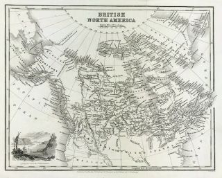
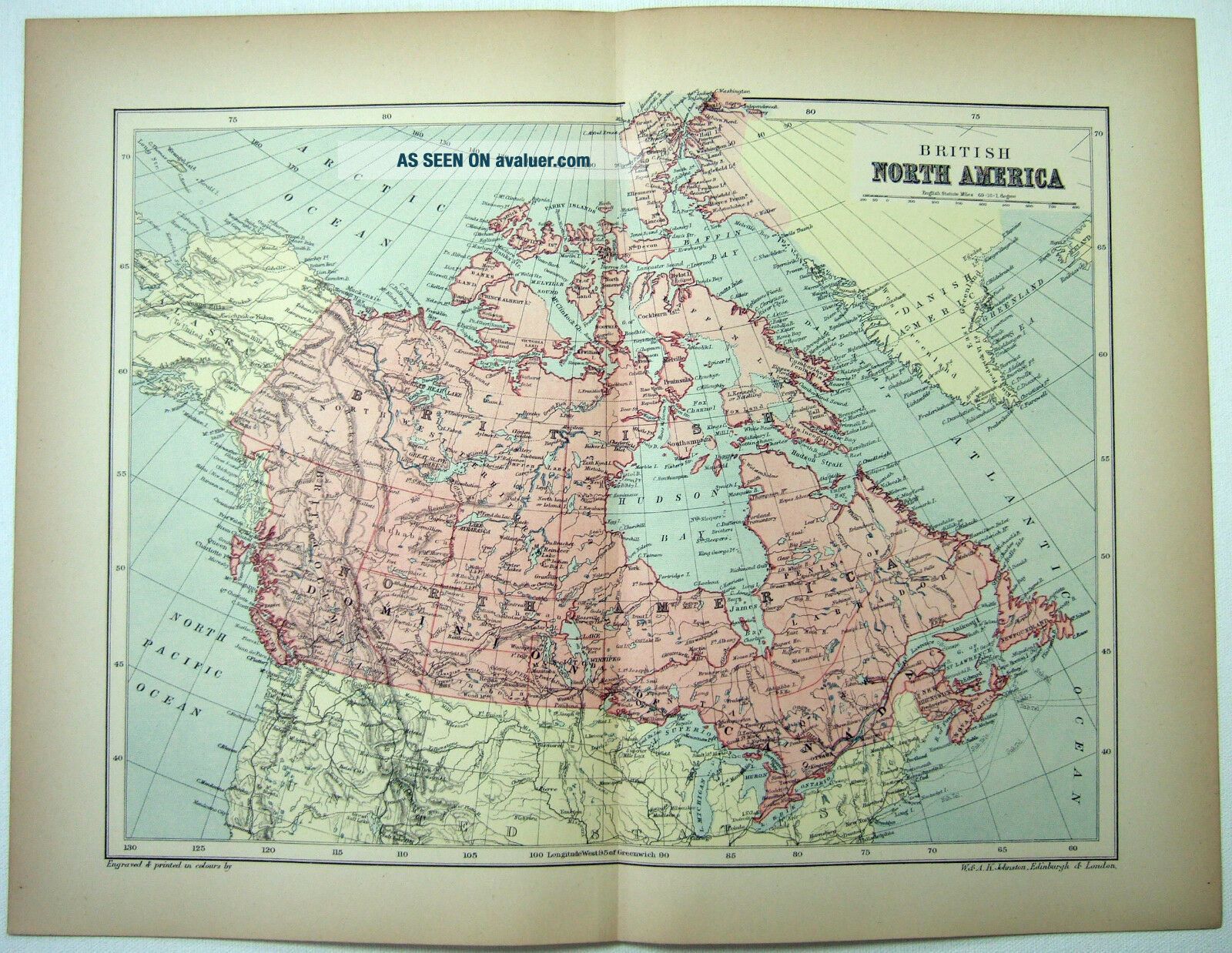
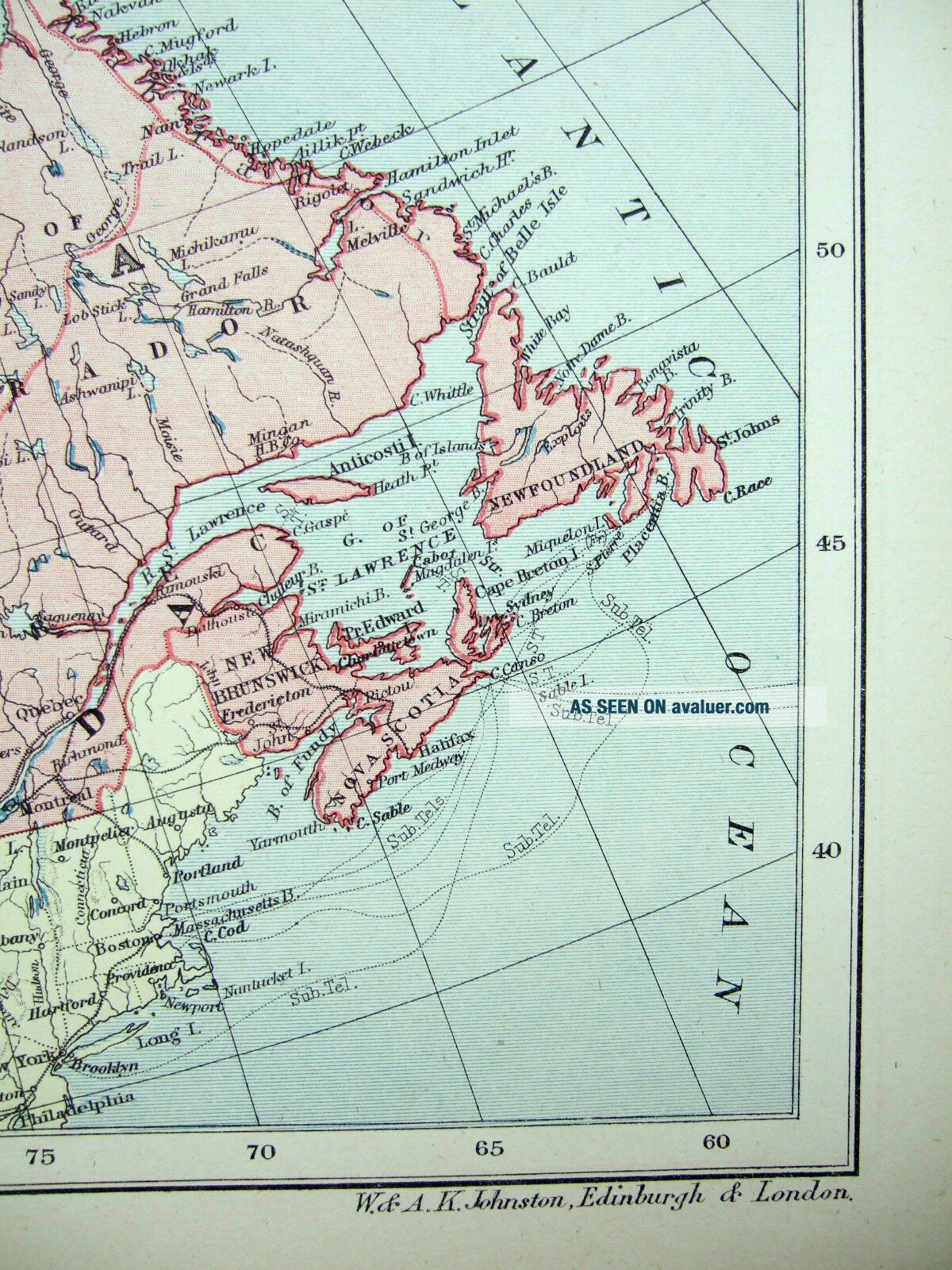
1895 Map Of British North America By W & A. K. Johnston. Antique


Item History & Price

Information:
Reference Number: Avaluer:58934425Type: Map
Original Reproduction Reprint: OriginalMaker: W & A.K. Johnston
Year: 1895Original/Reproduction: Original
Topic: North AmericaPublication Year: 1895
Continent: North AmericaCountry/Region: Canada
Original Description:
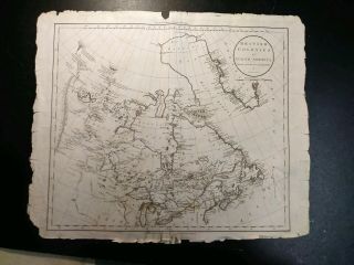
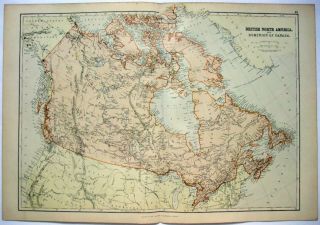
Original 1895 Map of British America by W & A.K. Johnston. Measures approximately 15.5" by 11.62".

A rare and attractively engraved Victorian era lithograph that will look great matted and framed. See photo's.

Free Shipping to anywhere in the US. Your order will always ship within ONE BUSINESS DAY, well packaged in a sturdy waterproof mailer and sent with a delivery confirmation.

I ship worldwide.

00136


    Similar items


  • 1799 Map Of British North America By Russell.  Dilly,  Robinson Publisher

    1799 Map Of British North America By Russell. Dilly, Robinson Publisher

  • 1882 Map Of British North America By Blackie & Son.  Canada Antique.

    1882 Map Of British North America By Blackie & Son. Canada Antique.

  • Antique 1895 Map Of India North East By W Ak Johnston

    Antique 1895 Map Of India North East By W Ak Johnston

  • 1895 Map Of British Isles & Ireland By W & A.  K.  Johnston.  Antique

    1895 Map Of British Isles & Ireland By W & A. K. Johnston. Antique

  • Antique Map Of British North America C1831 By Scott Engraved

    Antique Map Of British North America C1831 By Scott Engraved

  • 1895 Map Of The Holy Land By W & Ak Johnston.  Ottoman Palestine Antique

    1895 Map Of The Holy Land By W & Ak Johnston. Ottoman Palestine Antique

  • 1895 Map Of Austro Hungarian Monarchy By W&ak Johnston.  Austria Antique

    1895 Map Of Austro Hungarian Monarchy By W&ak Johnston. Austria Antique

  • Two Antique Maps Of British North America From The 1800s

    Two Antique Maps Of British North America From The 1800s


    • You might also like


    • 1860 Mitchell Hand Colored Map Colorado,  Nebraska & Kansas - Civil War Era

      1860 Mitchell Hand Colored Map Colorado, Nebraska & Kansas - Civil War Era

    • 18th Century French Map Of North America

      18th Century French Map Of North America

    • Las Vegas Nevada Vintage 1967 Us Geological Survey Quadrangle Map 4 Panels

      Las Vegas Nevada Vintage 1967 Us Geological Survey Quadrangle Map 4 Panels

    • Rare Antique 1845 Maps United States Exploring Expedition Book Antartica Hawaii

      Rare Antique 1845 Maps United States Exploring Expedition Book Antartica Hawaii

    • Vintage 1926 Map Hollywood From The Best Surveys Of The Time

      Vintage 1926 Map Hollywood From The Best Surveys Of The Time

    • American Continent (western Hemisphere) 1747 Bowen Antique Copper Engraved Map

      American Continent (western Hemisphere) 1747 Bowen Antique Copper Engraved Map

    • Gulf Coast Florida Texas United States 1705 De Fer Unusual Antique Engraved Map

      Gulf Coast Florida Texas United States 1705 De Fer Unusual Antique Engraved Map

    • California As Island United States 1700 De Fer Unusual First Edition Antique Map

      California As Island United States 1700 De Fer Unusual First Edition Antique Map

Avaluer          About Us          Privacy Policy          Contact Us          UP
© 2022, avaluer.net, Inc. or its affiliates