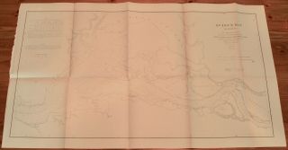
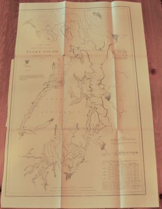
1867 US Coast Survey Map Of Shilshole Bay, Puget Sound, Washington Territory


Item History & Price

Information:
Reference Number: Avaluer:58934958Cartographer/Publisher: Benjamin Peirce
Year: 1867Printing Technique: Lithography
US State: WashingtonOriginal/Reproduction: Antique Original
City: SeattleFormat: Folding Map
Country/Region: United States of AmericaType: Nautical Map
Original Description:
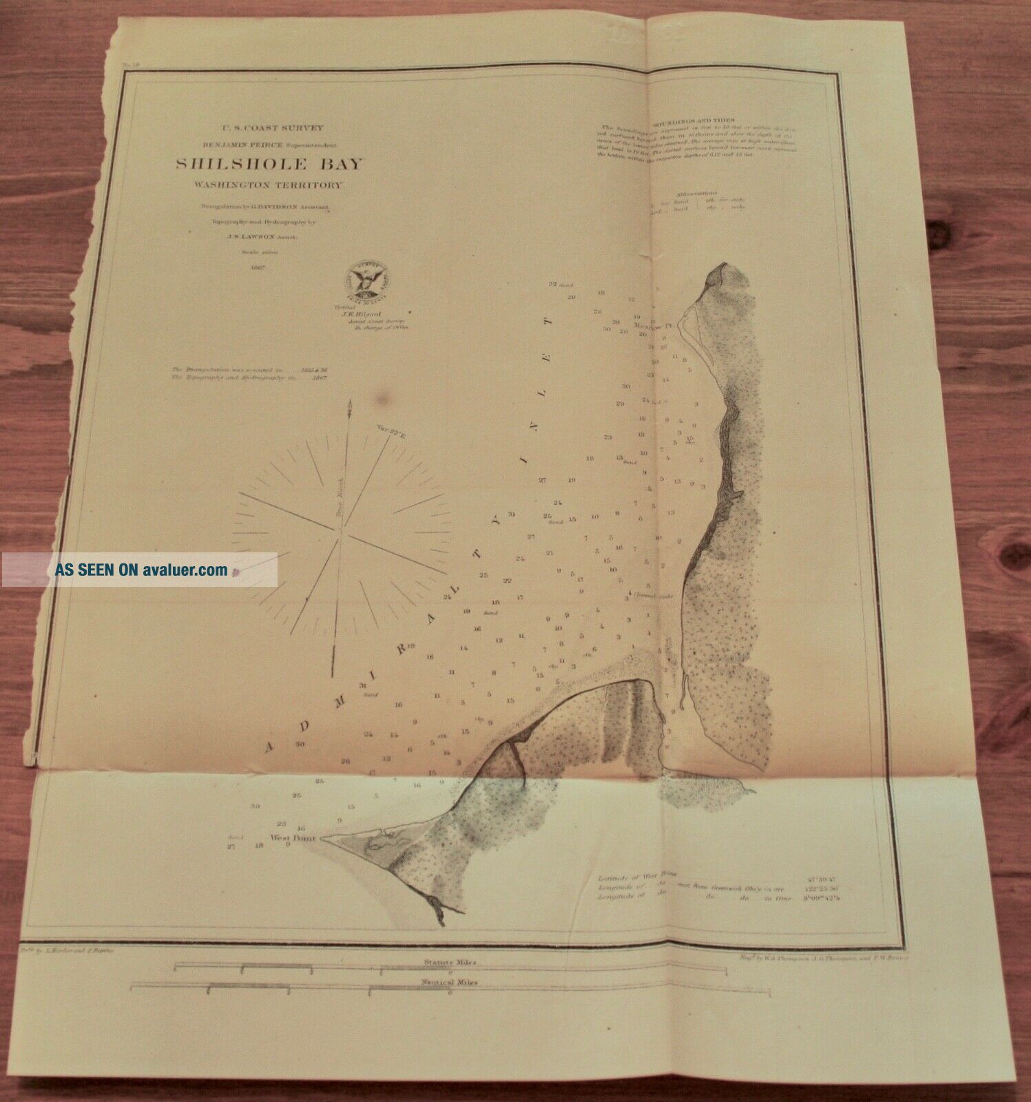
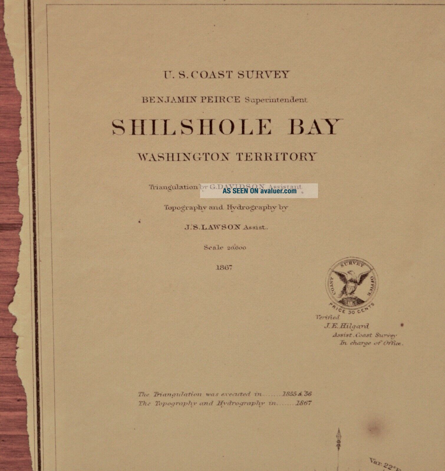
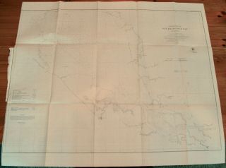
US Coast Survey Map of Shilshole Bay, Seattle, Washington TerritoryBenjamin Peirce SuperintendentTriangulation by G. Davidson AssistantTopography and Hydrography by J.S. Lawson AssistantMap No. 181867
Includes Soundings and TidesGood condition with some foxing spots and torn left margin11" x 15"
Item #MCS-86
Shipping is standard post (no tracking) for Canada and US. Express, tracking, and international shipping by quote. If purchasing multiple items to be shipped together..., a refund of additional shipping will be issued upon mailing based on the actual cost.


    Similar items


  • 1867 Us Coast Survey Map Of Puget Sound,  Washington Territory

    1867 Us Coast Survey Map Of Puget Sound, Washington Territory

  • 1873 Us Coast Survey Map Of Narragansett Bay,  Rhode Island

    1873 Us Coast Survey Map Of Narragansett Bay, Rhode Island

  • 1868 Us Coast Survey Map Of Chesapeake Bay,  Maryland,  Delaware

    1868 Us Coast Survey Map Of Chesapeake Bay, Maryland, Delaware

  • 1862 Us Coast Survey Map Of Pacific,  Tillamook Bay,  Oregon,  Washington To Bc

    1862 Us Coast Survey Map Of Pacific, Tillamook Bay, Oregon, Washington To Bc

  • 1862 Us Coast Survey Map Of Upper Of Part San Francisco Bay,  California

    1862 Us Coast Survey Map Of Upper Of Part San Francisco Bay, California

  • 1867 Us Coast Survey Map Port Of Berne [bern],  North Carolina

    1867 Us Coast Survey Map Port Of Berne [bern], North Carolina

  • 1867 Us Coast Survey Map Suisun Bay,  California

    1867 Us Coast Survey Map Suisun Bay, California

  • 1855 Us Coast Survey Map Delaware & Chesapeake Bays Inlets Lighthouses

    1855 Us Coast Survey Map Delaware & Chesapeake Bays Inlets Lighthouses


    • You might also like


    • 1860 Mitchell Hand Colored Map Colorado,  Nebraska & Kansas - Civil War Era

      1860 Mitchell Hand Colored Map Colorado, Nebraska & Kansas - Civil War Era

    • 18th Century French Map Of North America

      18th Century French Map Of North America

    • Las Vegas Nevada Vintage 1967 Us Geological Survey Quadrangle Map 4 Panels

      Las Vegas Nevada Vintage 1967 Us Geological Survey Quadrangle Map 4 Panels

    • Rare Antique 1845 Maps United States Exploring Expedition Book Antartica Hawaii

      Rare Antique 1845 Maps United States Exploring Expedition Book Antartica Hawaii

    • Vintage 1926 Map Hollywood From The Best Surveys Of The Time

      Vintage 1926 Map Hollywood From The Best Surveys Of The Time

    • American Continent (western Hemisphere) 1747 Bowen Antique Copper Engraved Map

      American Continent (western Hemisphere) 1747 Bowen Antique Copper Engraved Map

    • Gulf Coast Florida Texas United States 1705 De Fer Unusual Antique Engraved Map

      Gulf Coast Florida Texas United States 1705 De Fer Unusual Antique Engraved Map

    • California As Island United States 1700 De Fer Unusual First Edition Antique Map

      California As Island United States 1700 De Fer Unusual First Edition Antique Map

Avaluer          About Us          Privacy Policy          Contact Us          UP
© 2022, avaluer.net, Inc. or its affiliates