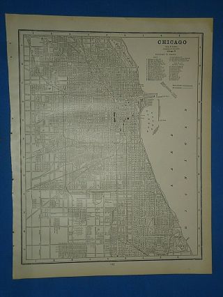
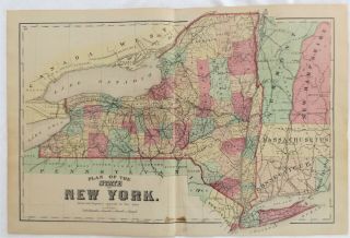
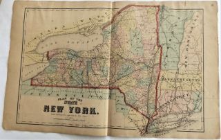
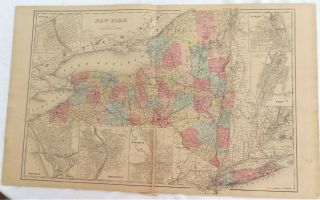
1873 Illinois State Antique Atlas Map


Item History & Price

Information:
Reference Number: Avaluer:58945749Cartographer/Publisher: Andreas Lyter
Year: 1873Original/Reproduction: Original
US State: IllinoisFormat: Atlas Map
Date Range: 1873Maker: Andreas Lyter
Country/Region: United States of AmericaType: County Map
Original Description:
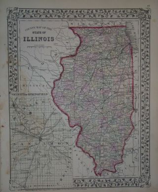
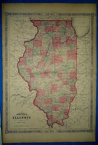
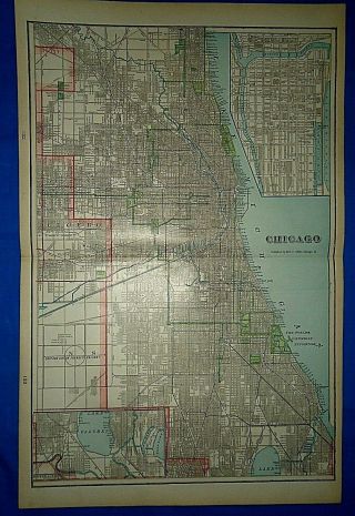
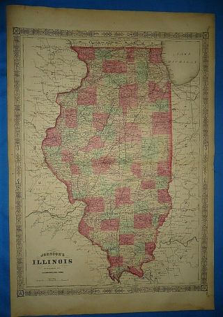
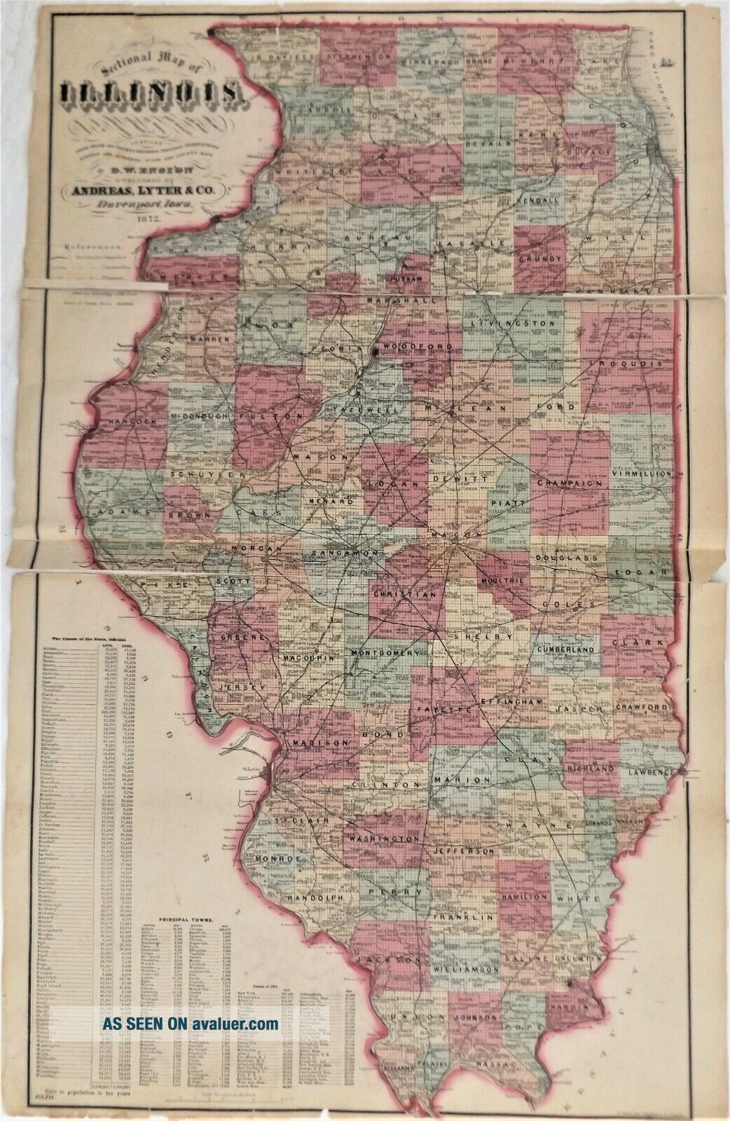
Unfortunately this map is in 2 pieces split in two at the upper seam, Also some splits on the other seam and some edge tears, Perhaps a good matter and framer could put it back together so it looks good,   An original 148 year old map from 1873, Measures approximately 17 1/2" x 27",   Slight staining here and there and some edge roughness nothing too serious, These maps looked super matted and framed up, We now have a maps category in our store, Click on the store icon and th...en scroll to maps and click on it, We will be adding hundreds of maps as we get time, One shipping charge no matter how many maps you purchase just wait and let me send you a revised invoiceOur files tend to blur, Actual image is sharper, Satisfaction guaranteed, Immediate return privileges, Map will be gently rolled and shipped first class in a tube mailer, NYS residents must pay sales tax or send a completed resale form to Ebay, Email with questions and we’ll try to answer them, Payment should be received within 7 days or a nonpaying bidder alert will be filed with Ebay, If immediate payment is a problem please let us know and we will work with you, Thanks, Charlie & Marcia

00019


    Similar items


  • Vintage 1872 Map Illinois Old Antique Atlas Map S&h 1872/010915

    Vintage 1872 Map Illinois Old Antique Atlas Map S&h 1872/010915

  • Vintage 1864 Civil War Era Map Illinois Old Antique Atlas Map

    Vintage 1864 Civil War Era Map Illinois Old Antique Atlas Map

  • Vintage 1903 Map Chicago,  Illinois Old Antique Atlas Map

    Vintage 1903 Map Chicago, Illinois Old Antique Atlas Map

  • Vintage 1867 Map Illinois Old Antique Atlas Map

    Vintage 1867 Map Illinois Old Antique Atlas Map

  • Vintage 1891 Chicago,  Illinois Old Antique Atlas Map 51419

    Vintage 1891 Chicago, Illinois Old Antique Atlas Map 51419

  • 1875 Lewis County Ny " York State " Antique Atlas Map

    1875 Lewis County Ny " York State " Antique Atlas Map

  • 1869 Ny Allegany County York State Antique Atlas Map

    1869 Ny Allegany County York State Antique Atlas Map

  • 1868 Fulton County Ny " York State " Antique Atlas Map

    1868 Fulton County Ny " York State " Antique Atlas Map


    • You might also like


    • 1860 Mitchell Hand Colored Map Colorado,  Nebraska & Kansas - Civil War Era

      1860 Mitchell Hand Colored Map Colorado, Nebraska & Kansas - Civil War Era

    • 18th Century French Map Of North America

      18th Century French Map Of North America

    • Las Vegas Nevada Vintage 1967 Us Geological Survey Quadrangle Map 4 Panels

      Las Vegas Nevada Vintage 1967 Us Geological Survey Quadrangle Map 4 Panels

    • Rare Antique 1845 Maps United States Exploring Expedition Book Antartica Hawaii

      Rare Antique 1845 Maps United States Exploring Expedition Book Antartica Hawaii

    • Vintage 1926 Map Hollywood From The Best Surveys Of The Time

      Vintage 1926 Map Hollywood From The Best Surveys Of The Time

    • American Continent (western Hemisphere) 1747 Bowen Antique Copper Engraved Map

      American Continent (western Hemisphere) 1747 Bowen Antique Copper Engraved Map

    • Gulf Coast Florida Texas United States 1705 De Fer Unusual Antique Engraved Map

      Gulf Coast Florida Texas United States 1705 De Fer Unusual Antique Engraved Map

    • California As Island United States 1700 De Fer Unusual First Edition Antique Map

      California As Island United States 1700 De Fer Unusual First Edition Antique Map

Avaluer          About Us          Privacy Policy          Contact Us          UP
© 2022, avaluer.net, Inc. or its affiliates