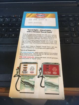
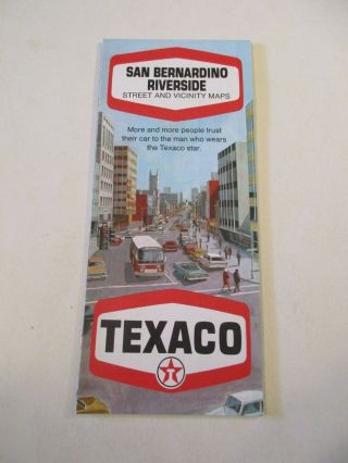
1970 Texaco Map; San Gabriel Valley Street And Vicinity Maps


Item History & Price

Information:
Reference Number: Avaluer:58946885
Original Description:
1970 Texaco Map; San Gabriel Valley Street and Vicinity Maps

110918 yellowThe Fine Print:
Payment Required Within 48 HoursINTERNATIONAL SHIPPING: Is through ebay Shipping at the postal rate(First Class International package up to 4 lbs or priority international )
All orders will ship through ebay shipping, no exceptionsShipping discounts are available for multi item purchases to any US Address or international  orders when possibleYour Item will be packed well , ...Dont Worry !

 It is the buyer's responsibility to cancel if for any reason they are unable or unwilling to complete a transaction. And if you Change your mind its ok, please don't blame your kid or send me some story to make me feel sorry for you. 


    Similar items


  • 1971 Texaco San Fernando Valley Street And Vicinity Maps

    1971 Texaco San Fernando Valley Street And Vicinity Maps

  • Vintage 1970 Texaco Seattle Oil Gas Station Street And Vicinity Maps Box Z5

    Vintage 1970 Texaco Seattle Oil Gas Station Street And Vicinity Maps Box Z5

  • 1990 Acsc Road Map San Gabriel Valley California Los Angeles Pasadena Irwindale

    1990 Acsc Road Map San Gabriel Valley California Los Angeles Pasadena Irwindale

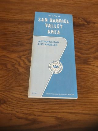
  • Vintage Aaa Socal Map : San Gabriel Valley Area 3 - 87

    Vintage Aaa Socal Map : San Gabriel Valley Area 3 - 87

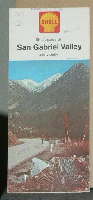
  • 1963 Shell Street Map Of San Gabriel Valley And Vicinity,  California

    1963 Shell Street Map Of San Gabriel Valley And Vicinity, California

  • Vintage 1969 Texaco San Bernardino Riverside Street And Vicinity Road Map Box G

    Vintage 1969 Texaco San Bernardino Riverside Street And Vicinity Road Map Box G

  • 1964 San Gabriel Valley Area Street Map Acsc Oil Gas Cities Listed

    1964 San Gabriel Valley Area Street Map Acsc Oil Gas Cities Listed

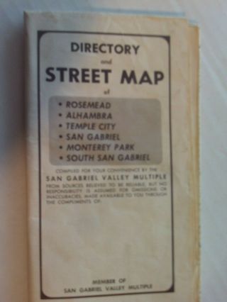
  • San Gabriel Valley Directory & Street Map Rosemead,  Alhanbra,  Temple City,

    San Gabriel Valley Directory & Street Map Rosemead, Alhanbra, Temple City,


    • You might also like


    • 1860 Mitchell Hand Colored Map Colorado,  Nebraska & Kansas - Civil War Era

      1860 Mitchell Hand Colored Map Colorado, Nebraska & Kansas - Civil War Era

    • 18th Century French Map Of North America

      18th Century French Map Of North America

    • Las Vegas Nevada Vintage 1967 Us Geological Survey Quadrangle Map 4 Panels

      Las Vegas Nevada Vintage 1967 Us Geological Survey Quadrangle Map 4 Panels

    • Rare Antique 1845 Maps United States Exploring Expedition Book Antartica Hawaii

      Rare Antique 1845 Maps United States Exploring Expedition Book Antartica Hawaii

    • Vintage 1926 Map Hollywood From The Best Surveys Of The Time

      Vintage 1926 Map Hollywood From The Best Surveys Of The Time

    • American Continent (western Hemisphere) 1747 Bowen Antique Copper Engraved Map

      American Continent (western Hemisphere) 1747 Bowen Antique Copper Engraved Map

    • Gulf Coast Florida Texas United States 1705 De Fer Unusual Antique Engraved Map

      Gulf Coast Florida Texas United States 1705 De Fer Unusual Antique Engraved Map

    • California As Island United States 1700 De Fer Unusual First Edition Antique Map

      California As Island United States 1700 De Fer Unusual First Edition Antique Map

Avaluer          About Us          Privacy Policy          Contact Us          UP
© 2022, avaluer.net, Inc. or its affiliates