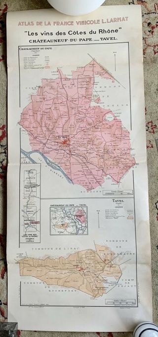
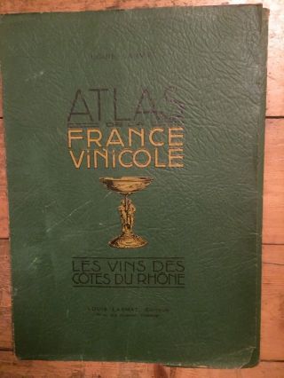
ATLAS DE LA FRANCE VINICOLE Vintage Wine Map Les Vins Des Cotes Du Rhône’s


Item History & Price

Information:
Reference Number: Avaluer:60114835Date Range: 1940-1949
Original/Reproduction: Antique OriginalType: Wine Map
Country/Region: FranceFormat: Atlas Map
Original Description:
A rare map from ATLAS DE LA FRANCE VINICOLE Vintage Wine Map.
Les Vins Des Cotes du Rhône’s 106cm x 44 cm (approx)
Will look wonderful framed.
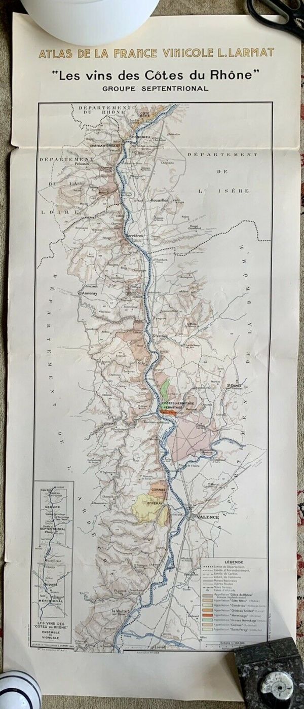
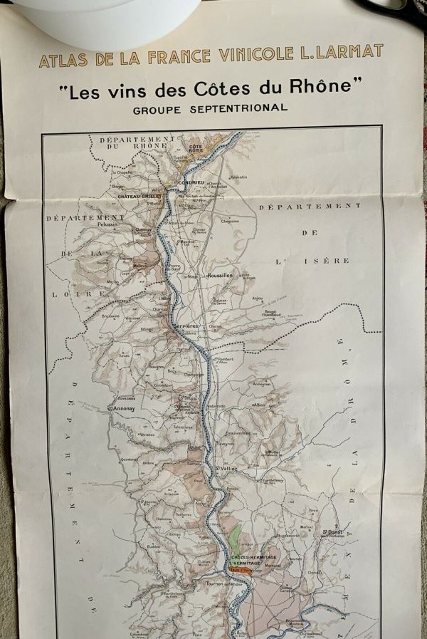
This is a beautiful wine region map for Groupe Septentrional . 106cm x 44 cm (approx)
Will look wonderful framed.


    Similar items


  • Atlas De La France Vinicole Vintage Wine Map Chateauneuf Du Pape

    Atlas De La France Vinicole Vintage Wine Map Chateauneuf Du Pape

  • Vtg Framed Map Atlas De La France Vinicole.  Copyright 1947 Nouvelle Edition 1952

    Vtg Framed Map Atlas De La France Vinicole. Copyright 1947 Nouvelle Edition 1952

  • Atlas De La France Vinicole Louis Larmat Bourgogne Complete With All Maps

    Atlas De La France Vinicole Louis Larmat Bourgogne Complete With All Maps

  • Atlas De La France Vinicole Louis Larmat Bordeaux Complete With All Maps

    Atlas De La France Vinicole Louis Larmat Bordeaux Complete With All Maps

  • Atlas De La France Vinicole Louis Larmat Loire Complete With All Maps

    Atlas De La France Vinicole Louis Larmat Loire Complete With All Maps

  • Atlas De La France Vinicole Louis Larmat Cotes Du Rhône Complete With All Maps

    Atlas De La France Vinicole Louis Larmat Cotes Du Rhône Complete With All Maps

  • Atlas De La France Vinicole.  Les Vins De Bourgogne Larmat,  L.  :

    Atlas De La France Vinicole. Les Vins De Bourgogne Larmat, L. :


    • You might also like


    • Hungary & Romania 1579 (1584) Ortelius Unusual Antique Copper Engraved Map

      Hungary & Romania 1579 (1584) Ortelius Unusual Antique Copper Engraved Map

    • Brussels Bruxelles Belfium 1777 De Ferraris & Dupuis Large Antique Map Sheet Xxi

      Brussels Bruxelles Belfium 1777 De Ferraris & Dupuis Large Antique Map Sheet Xxi

    • 1616 Atlas Map Of Iceland.

      1616 Atlas Map Of Iceland.

    • Kazan Russia 1767 Le Clerc/lespinasse Antique Copper Engraved City View

      Kazan Russia 1767 Le Clerc/lespinasse Antique Copper Engraved City View

    • 1899 Stanford,  Folding Map Of Norwich,  Norfolk,  Arthur Collins,  Jarrold & Sons,

      1899 Stanford, Folding Map Of Norwich, Norfolk, Arthur Collins, Jarrold & Sons,

    • 1948 Vintage Linen Colour Map Geological Survey Ten Mile Of Great Britain

      1948 Vintage Linen Colour Map Geological Survey Ten Mile Of Great Britain

    • 1944 Map Flying Bombs Sussex Ww2 Newspaper Military Kent Courier German V1 V2

      1944 Map Flying Bombs Sussex Ww2 Newspaper Military Kent Courier German V1 V2

    • Dated 1638 Vellum Map Of Icklesham Sussex Showing Land Uses Owners Etc

      Dated 1638 Vellum Map Of Icklesham Sussex Showing Land Uses Owners Etc

Avaluer          About Us          Privacy Policy          Contact Us          UP
© 2022, avaluer.net, Inc. or its affiliates