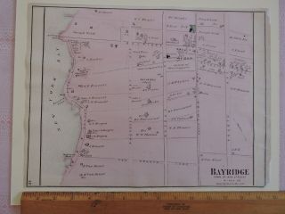
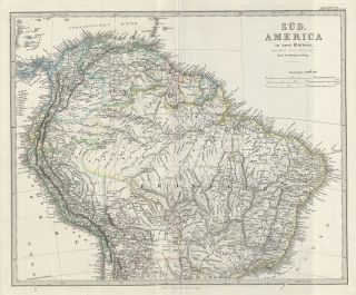
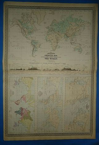
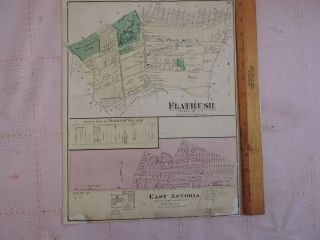
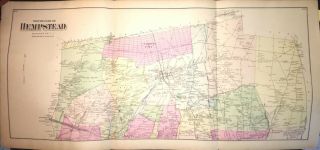
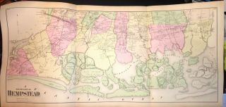
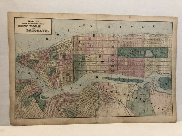
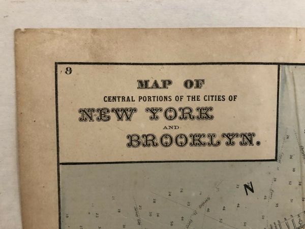
1873 Beers Map Of Sensual Portions Of The City Of York And Brooklyn


Item History & Price

Information:
Reference Number: Avaluer:60153283Year: 1873
US State: New YorkType: Map
City: BrooklynOriginal/Reproduction: Original
Country/Region: United States of AmericaDate Range: 1800-1899
Original Description:
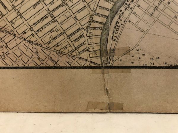
1873 original Beers Map of Central Portions Of The City Of New York And Brooklyn.Please note all photos for me the condition is very good for bordersSize of map is 15 1/2 x 23 1/2


    Similar items


  • 1873 Beers Map Of Bay Ridge Brooklyn,  York City Utrecht L.  I.

    1873 Beers Map Of Bay Ridge Brooklyn, York City Utrecht L. I.

  • 1873 Stieler Map Of The Northern Part Of South America

    1873 Stieler Map Of The Northern Part Of South America

  • Vintage 1873 Physical Map Of The World Old Antique Atlas Map

    Vintage 1873 Physical Map Of The World Old Antique Atlas Map

  • 1873 Beers Map Of Brooklyn: E.  Astoria Flatbush Nyc York Kings Co.

    1873 Beers Map Of Brooklyn: E. Astoria Flatbush Nyc York Kings Co.

  • 1873 Beers Map Of North Hempstead,  Long Island,  York

    1873 Beers Map Of North Hempstead, Long Island, York

  • 1873 Beers Map Of South Hempstead,  Long Island,  York

    1873 Beers Map Of South Hempstead, Long Island, York

  • 1873 Beers Map Of Brooklyn: Windsor Terrace Parkville Flatbush Nyc

    1873 Beers Map Of Brooklyn: Windsor Terrace Parkville Flatbush Nyc

  • Antique Map Of The Southern Portion Of South America By Chatelain,  1719

    Antique Map Of The Southern Portion Of South America By Chatelain, 1719


    • You might also like


    • 1860 Mitchell Hand Colored Map Colorado,  Nebraska & Kansas - Civil War Era

      1860 Mitchell Hand Colored Map Colorado, Nebraska & Kansas - Civil War Era

    • 18th Century French Map Of North America

      18th Century French Map Of North America

    • Las Vegas Nevada Vintage 1967 Us Geological Survey Quadrangle Map 4 Panels

      Las Vegas Nevada Vintage 1967 Us Geological Survey Quadrangle Map 4 Panels

    • Rare Antique 1845 Maps United States Exploring Expedition Book Antartica Hawaii

      Rare Antique 1845 Maps United States Exploring Expedition Book Antartica Hawaii

    • Vintage 1926 Map Hollywood From The Best Surveys Of The Time

      Vintage 1926 Map Hollywood From The Best Surveys Of The Time

    • American Continent (western Hemisphere) 1747 Bowen Antique Copper Engraved Map

      American Continent (western Hemisphere) 1747 Bowen Antique Copper Engraved Map

    • Gulf Coast Florida Texas United States 1705 De Fer Unusual Antique Engraved Map

      Gulf Coast Florida Texas United States 1705 De Fer Unusual Antique Engraved Map

    • California As Island United States 1700 De Fer Unusual First Edition Antique Map

      California As Island United States 1700 De Fer Unusual First Edition Antique Map

Avaluer          About Us          Privacy Policy          Contact Us          UP
© 2022, avaluer.net, Inc. or its affiliates