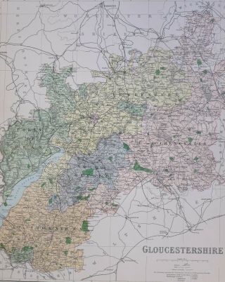
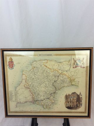
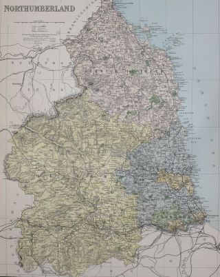
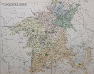
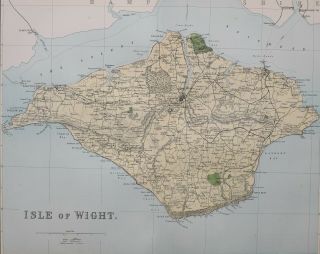
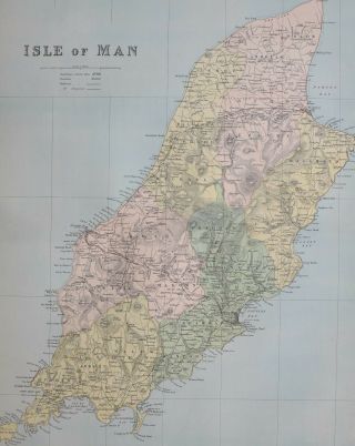
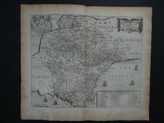
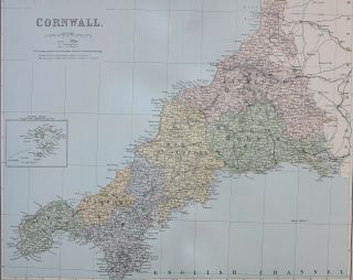
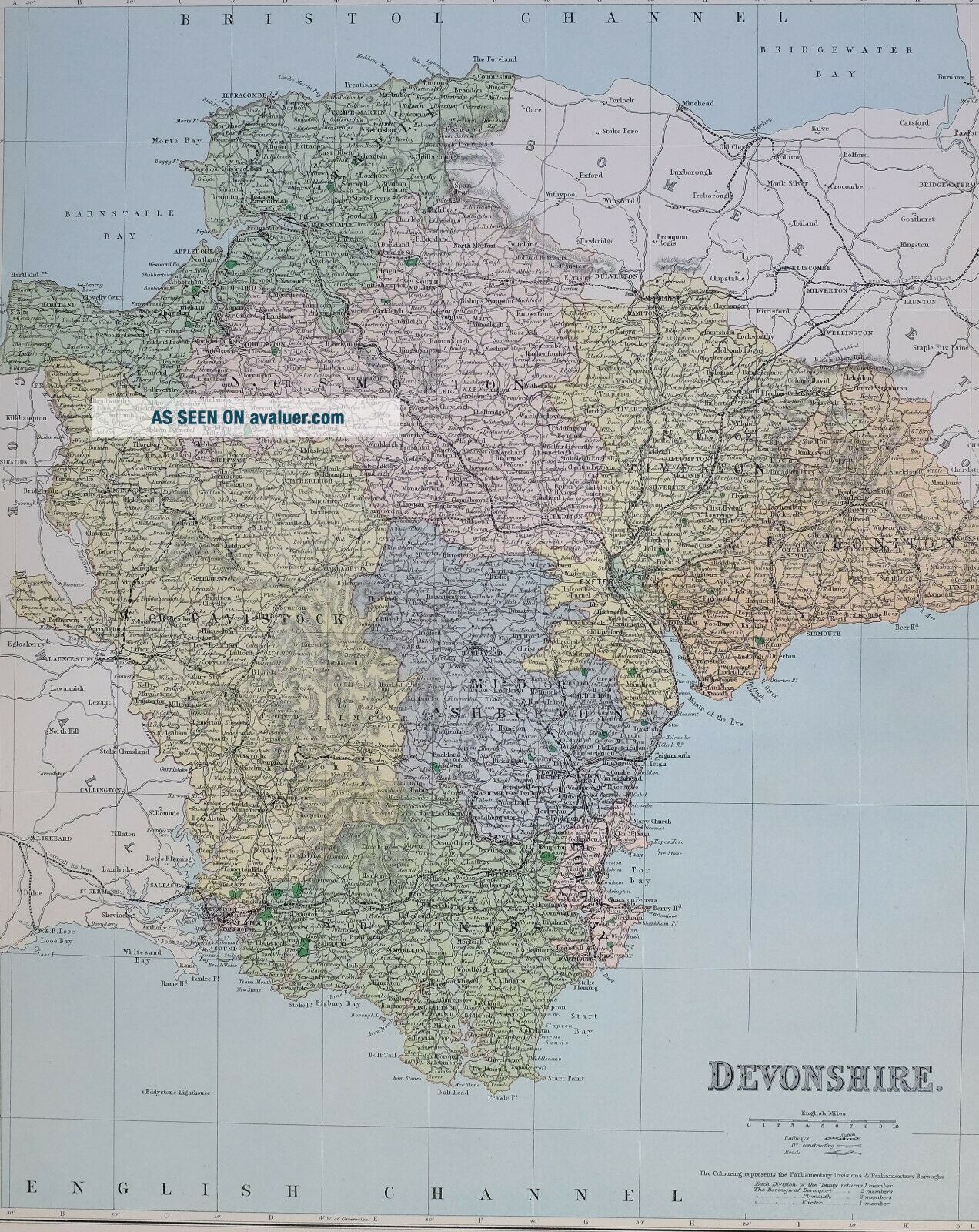
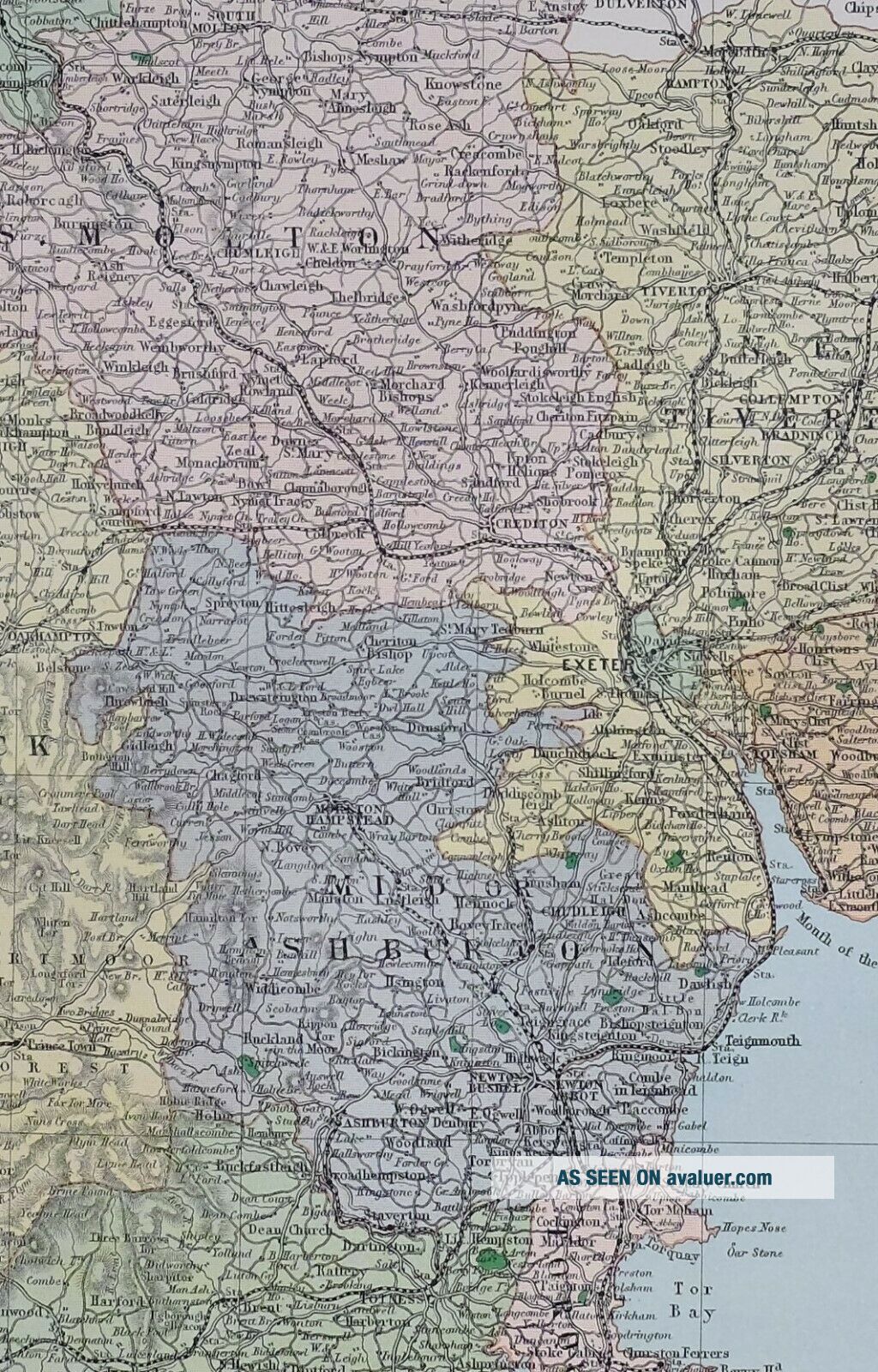
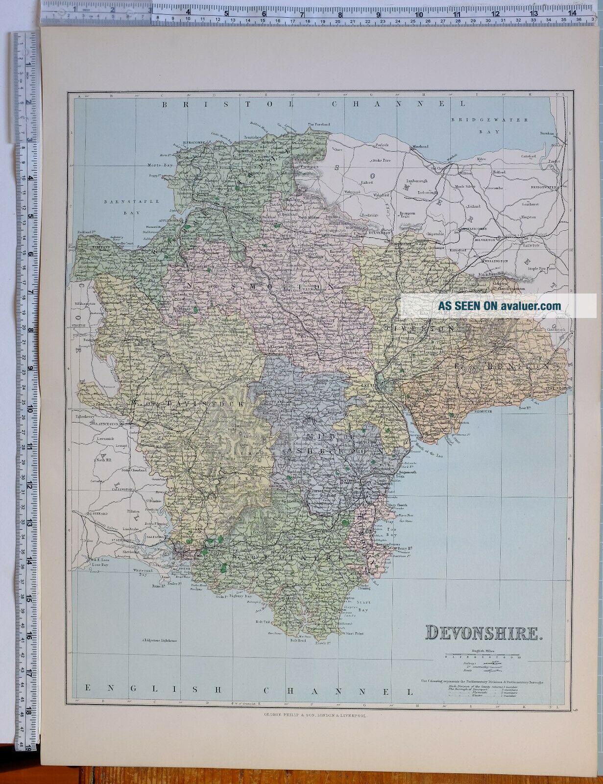
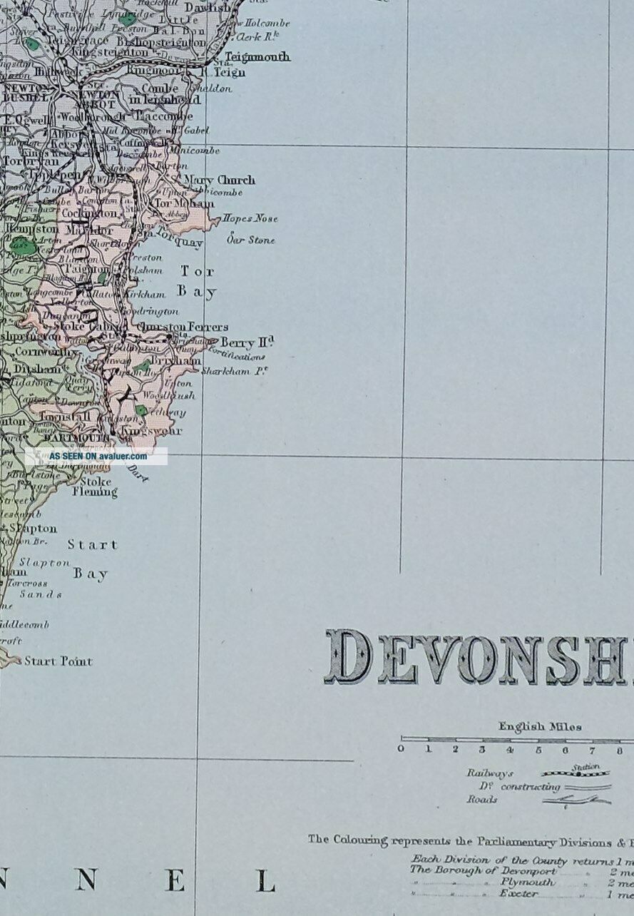
1889 COUNTY MAP DEVONSHIRE KINGSBRIDGE DARTMOUTH TAVISTOCK BARNSTAPLE APPLEDORK


Item History & Price

Information:
Reference Number: Avaluer:9095Cartographer/Publisher: Bacon
Type: County MapOriginal/Reproduction: Antique Original
Year: 1889Format: Atlas
Country/Region: England
Original Description:
This antique map is one of a series produced for:
Philips' Handy Atlas of the Counties of England: Reduced from the Ordnance Survey Coloured to Show the New Parliamentary Divisions, According to the Redistribution Bill, 1885
Published 1889
This listing is for the single map shown
Approximate size of fold-out sheet19 inches x 14 inches
****CONDITION****
...al; font-family: Arial; font-size: 18.06px; font-style: normal; font-variant: normal; font-weight: 400; text-decoration: none; word-spacing: 0px; white-space: normal; orphans: 2; background-color: transparent; -webkit-text-stroke-width: 0px;">PLEASE VIEW IMAGES TO SEE ANY HANDLING/AGE MARKS
/REPAIRS/DAMAGE/EXTENT OF MARGINS etc
*****************  Please message with any questions regarding this item
1889


    Similar items


  • 1889 County Map Gloucestershire Wickwar Forest Of Dean Newent Tewkesbury

    1889 County Map Gloucestershire Wickwar Forest Of Dean Newent Tewkesbury

  • Vintage County Map - Devonshire Devon Framed

    Vintage County Map - Devonshire Devon Framed

  • 1889 County Map Northumberland Hexham Haltwhistle Morpeth Wooler Alnwick

    1889 County Map Northumberland Hexham Haltwhistle Morpeth Wooler Alnwick

  • 1889 County Map Worcestershire Bewdley Evesham Halesowen Stourport Kidderminster

    1889 County Map Worcestershire Bewdley Evesham Halesowen Stourport Kidderminster

  • 1889 County Map Isle Of Wight West Cowed Newport Yarmouth Ryde

    1889 County Map Isle Of Wight West Cowed Newport Yarmouth Ryde

  • 1889 County Map Isle Of Man Arbory Douglas Braddan Lezayre Maughold

    1889 County Map Isle Of Man Arbory Douglas Braddan Lezayre Maughold

  • 1673 Blome Atlas 1st Edition County Map Devonshire - Devon - England

    1673 Blome Atlas 1st Edition County Map Devonshire - Devon - England

  • 1889 County Map Cornwall Truro St Ives Bodmin Camelford Launceston Saltash

    1889 County Map Cornwall Truro St Ives Bodmin Camelford Launceston Saltash


    • You might also like


    • Hungary & Romania 1579 (1584) Ortelius Unusual Antique Copper Engraved Map

      Hungary & Romania 1579 (1584) Ortelius Unusual Antique Copper Engraved Map

    • Brussels Bruxelles Belfium 1777 De Ferraris & Dupuis Large Antique Map Sheet Xxi

      Brussels Bruxelles Belfium 1777 De Ferraris & Dupuis Large Antique Map Sheet Xxi

    • 1616 Atlas Map Of Iceland.

      1616 Atlas Map Of Iceland.

    • Kazan Russia 1767 Le Clerc/lespinasse Antique Copper Engraved City View

      Kazan Russia 1767 Le Clerc/lespinasse Antique Copper Engraved City View

    • 1899 Stanford,  Folding Map Of Norwich,  Norfolk,  Arthur Collins,  Jarrold & Sons,

      1899 Stanford, Folding Map Of Norwich, Norfolk, Arthur Collins, Jarrold & Sons,

    • 1948 Vintage Linen Colour Map Geological Survey Ten Mile Of Great Britain

      1948 Vintage Linen Colour Map Geological Survey Ten Mile Of Great Britain

    • 1944 Map Flying Bombs Sussex Ww2 Newspaper Military Kent Courier German V1 V2

      1944 Map Flying Bombs Sussex Ww2 Newspaper Military Kent Courier German V1 V2

    • Dated 1638 Vellum Map Of Icklesham Sussex Showing Land Uses Owners Etc

      Dated 1638 Vellum Map Of Icklesham Sussex Showing Land Uses Owners Etc

Avaluer          About Us          Privacy Policy          Contact Us          UP
© 2022, avaluer.net, Inc. or its affiliates