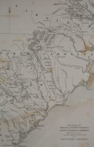
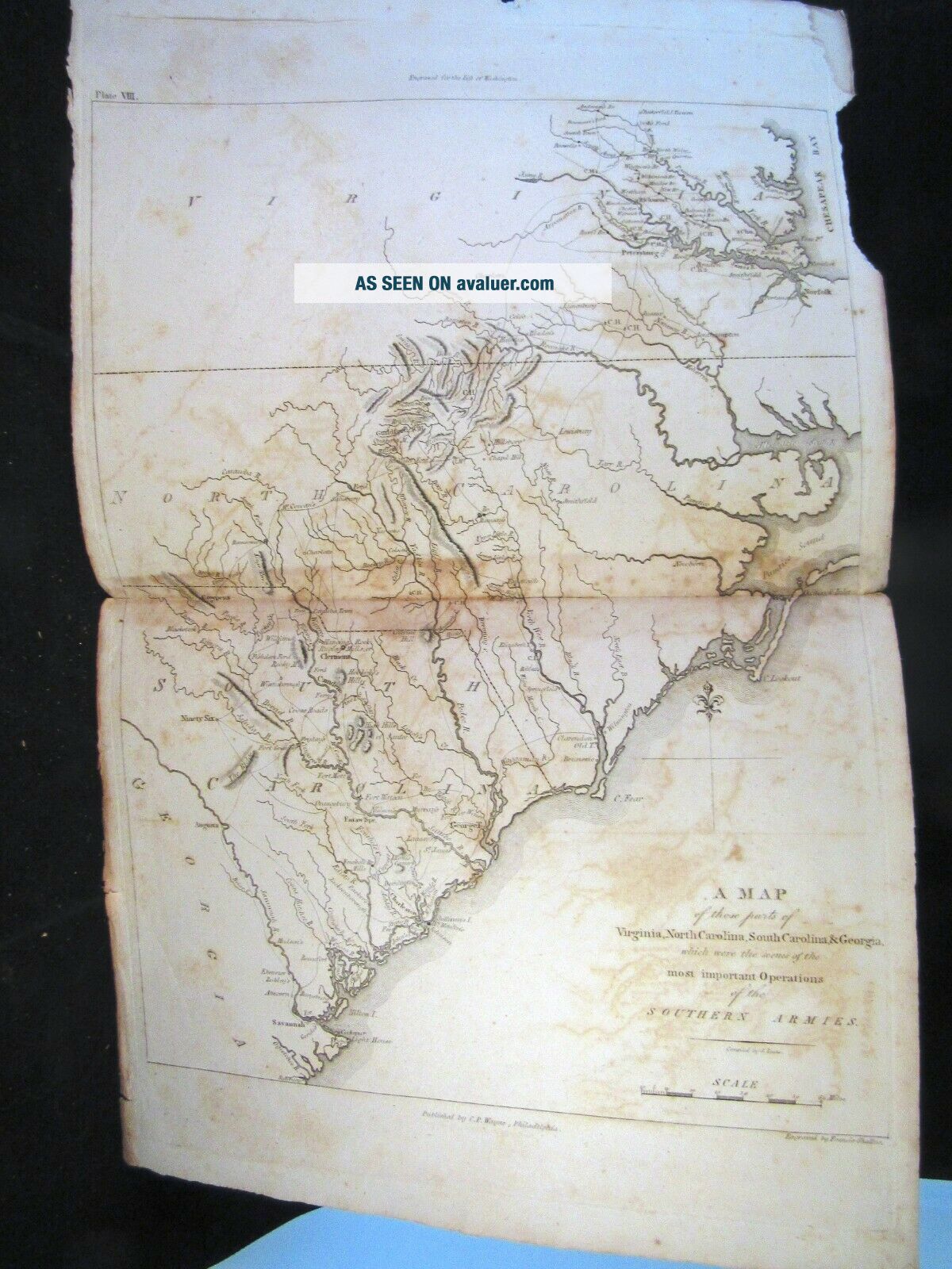
1807 REVOLUTIONARY WAR MAP OF THE MOVEMENT OF Southern Armies By C. P. Wayne


Item History & Price

Information:
Reference Number: Avaluer:9122
Original Description:
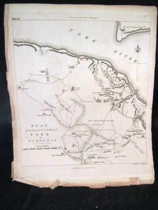
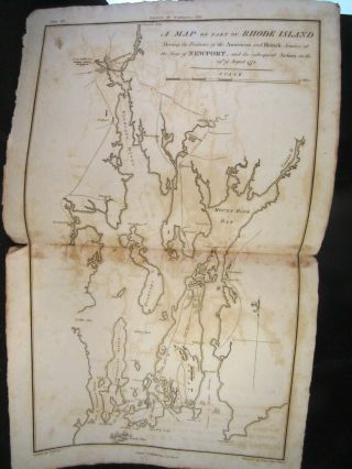
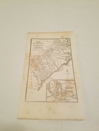
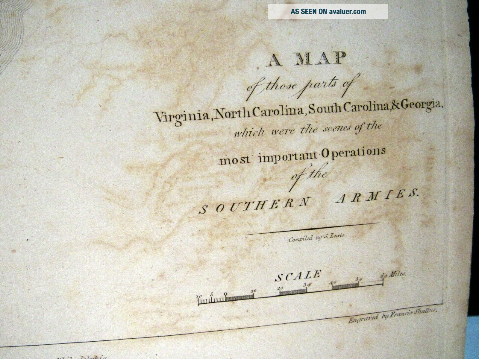
This wonderful 1807 Revolutionary War - era map presents the regions of the most important operations of the Southern Armies. Extending north from Savannah, it covers South Carolina, North Carolina and parts of Virginia and the Chesapeake Bay. It is from a ten map atlas , a volume of  "The Life of George Washington." published in 1807 by C.P. Wayne, Phildelphia. 2 PAGE MAP, CREASED AT FOLD IN CENTER. 18" X 11.5"EMAIL ANY QUESTIONS.I WILL COMBINE SHIPPING.  INTERNATIONAL ...SHIPMENT WILL HAVE TO BE PRIORITY EXPRESS FOR TRACKABILITY. PLEASE KEEP THIS IN MIND WHILE BIDDING TO AVOID CONFUSION AND DELAYS IN SHIPPING.  WAIT FOR YOUR INVOICE..

00021


    Similar items


  • 1860

    1860 ' S Revolutionary War Map Of The Southern Armies Antique Engraving

  • 1799 Post Revolutionary War Map Of Maryland W Oxford Talbot County Dover Ferry

    1799 Post Revolutionary War Map Of Maryland W Oxford Talbot County Dover Ferry

  • 1807 Revolutionary War Annexation Of Montbelliard.  " 66 / Montbelliard H/s

    1807 Revolutionary War Annexation Of Montbelliard. " 66 / Montbelliard H/s

  • Rare 1799 Post Revolutionary War Map Of Rhode Island Providence Newport

    Rare 1799 Post Revolutionary War Map Of Rhode Island Providence Newport

  • 1860

    1860 ' S Revolutionary War Map Of York Armies Antique Engraving Art

  • 1807 Revolutionary War Map Attack Plan York,  Virginia,  Pub.  By C.  P.  Wayne

    1807 Revolutionary War Map Attack Plan York, Virginia, Pub. By C. P. Wayne

  • 1807 Revolutionary War Map Ofthe Siegeof Newport,  Rhode Island By C.  P.  Wayne,

    1807 Revolutionary War Map Ofthe Siegeof Newport, Rhode Island By C. P. Wayne,

  • Cr2) Seat Of War In The Southern States C.  1840 Engraving Revolutionary War Map

    Cr2) Seat Of War In The Southern States C. 1840 Engraving Revolutionary War Map


    • You might also like


    • 1860 Mitchell Hand Colored Map Colorado,  Nebraska & Kansas - Civil War Era

      1860 Mitchell Hand Colored Map Colorado, Nebraska & Kansas - Civil War Era

    • 18th Century French Map Of North America

      18th Century French Map Of North America

    • Las Vegas Nevada Vintage 1967 Us Geological Survey Quadrangle Map 4 Panels

      Las Vegas Nevada Vintage 1967 Us Geological Survey Quadrangle Map 4 Panels

    • Rare Antique 1845 Maps United States Exploring Expedition Book Antartica Hawaii

      Rare Antique 1845 Maps United States Exploring Expedition Book Antartica Hawaii

    • Vintage 1926 Map Hollywood From The Best Surveys Of The Time

      Vintage 1926 Map Hollywood From The Best Surveys Of The Time

    • American Continent (western Hemisphere) 1747 Bowen Antique Copper Engraved Map

      American Continent (western Hemisphere) 1747 Bowen Antique Copper Engraved Map

    • Gulf Coast Florida Texas United States 1705 De Fer Unusual Antique Engraved Map

      Gulf Coast Florida Texas United States 1705 De Fer Unusual Antique Engraved Map

    • California As Island United States 1700 De Fer Unusual First Edition Antique Map

      California As Island United States 1700 De Fer Unusual First Edition Antique Map

Avaluer          About Us          Privacy Policy          Contact Us          UP
© 2022, avaluer.net, Inc. or its affiliates