1897 The Pictorial Plan Of London Enlarged Ed Cha Baker & Cos Stores Add Lito


Item History & Price

Information:
Reference Number: Avaluer:10107Printing Technique: Lithography
City: LondonOriginal/Reproduction: Original
Date Range: 1800-1899Format: Pictorial Plan
Country/Region: United KingdomType: City Map
Era: 1800sYear: 1897
Original Description:
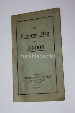
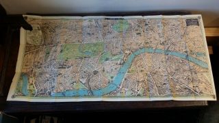
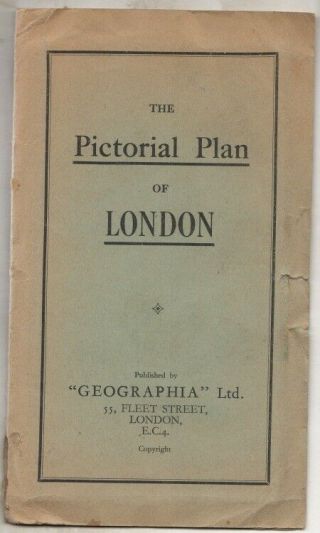
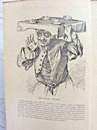
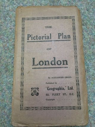
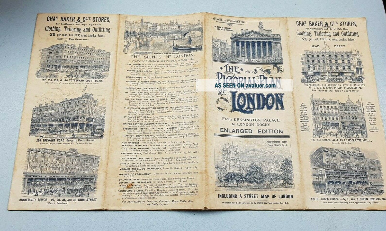
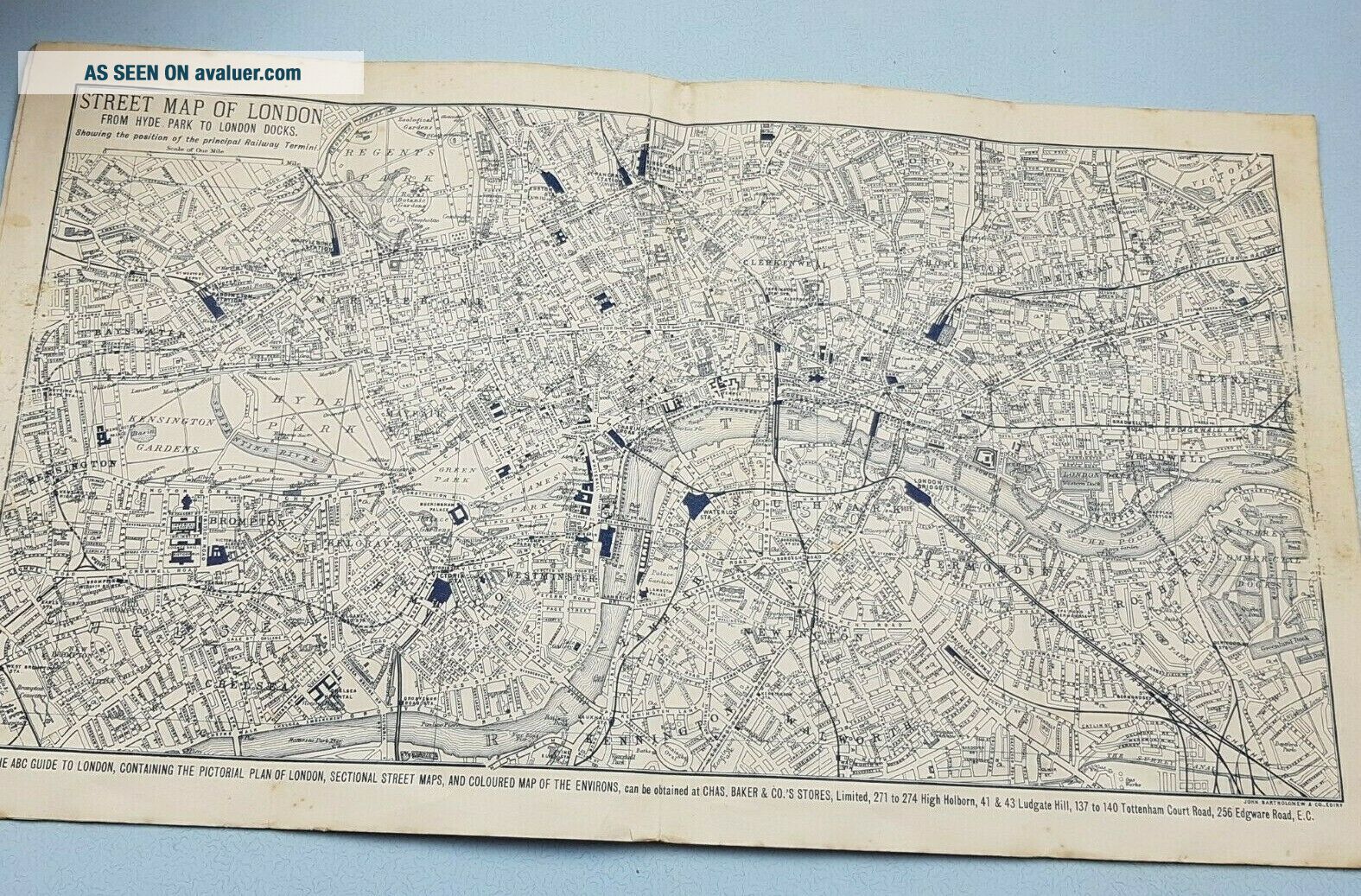
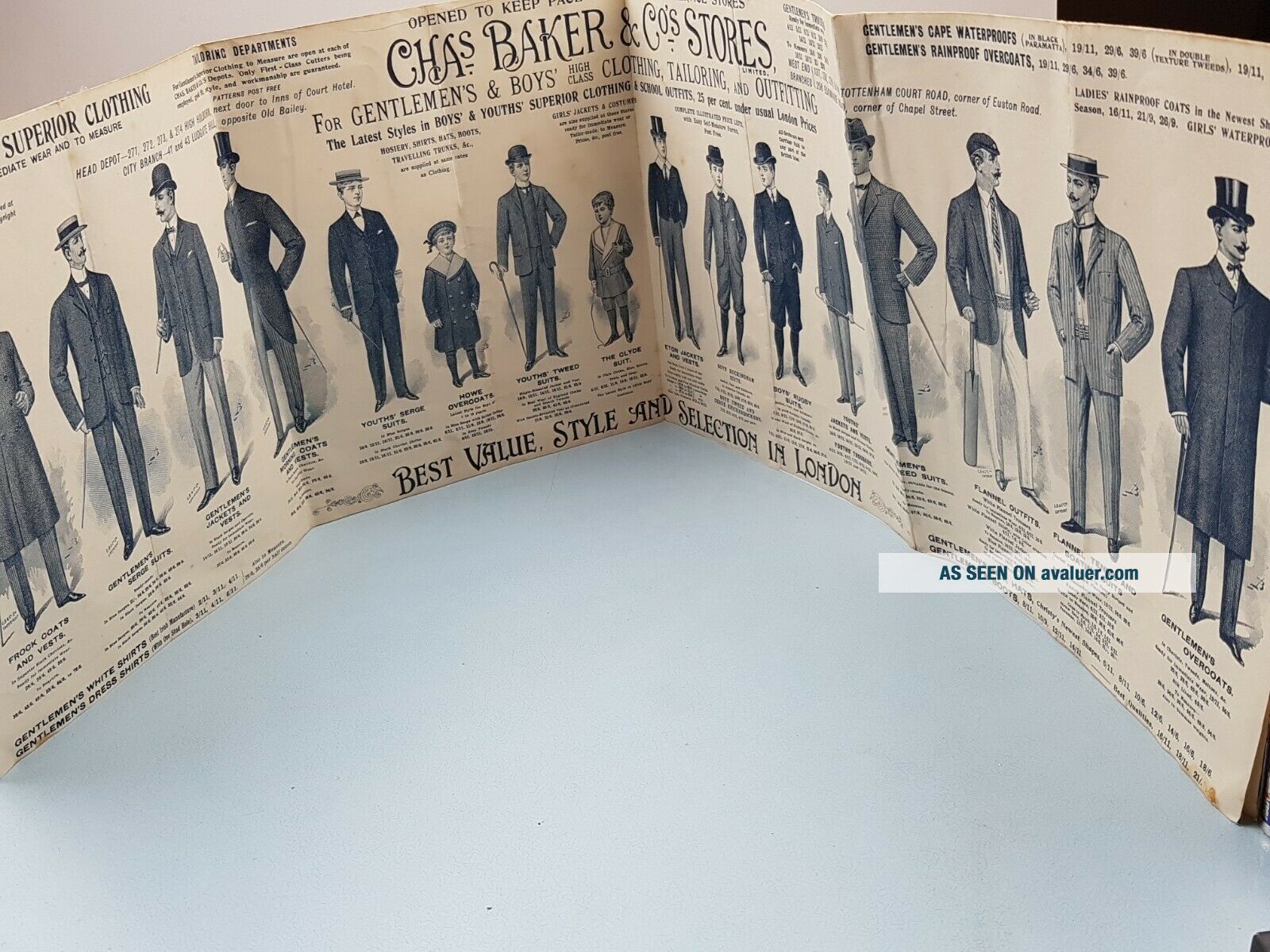
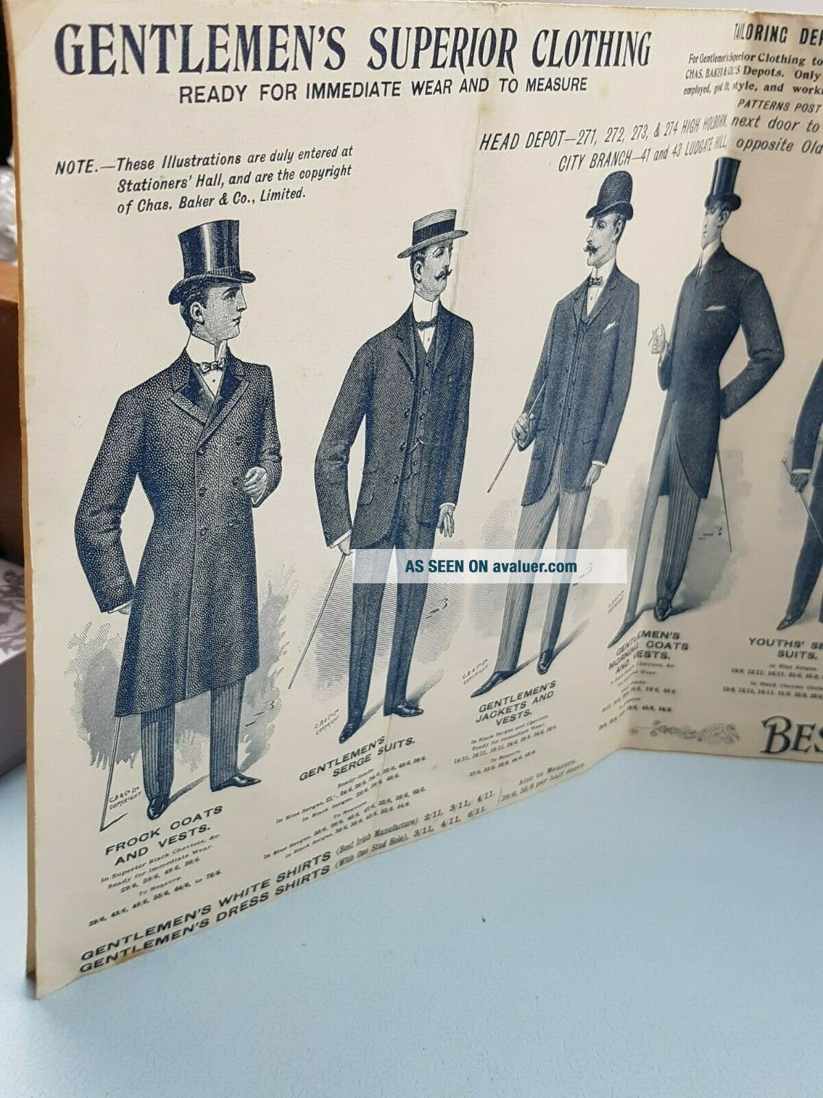
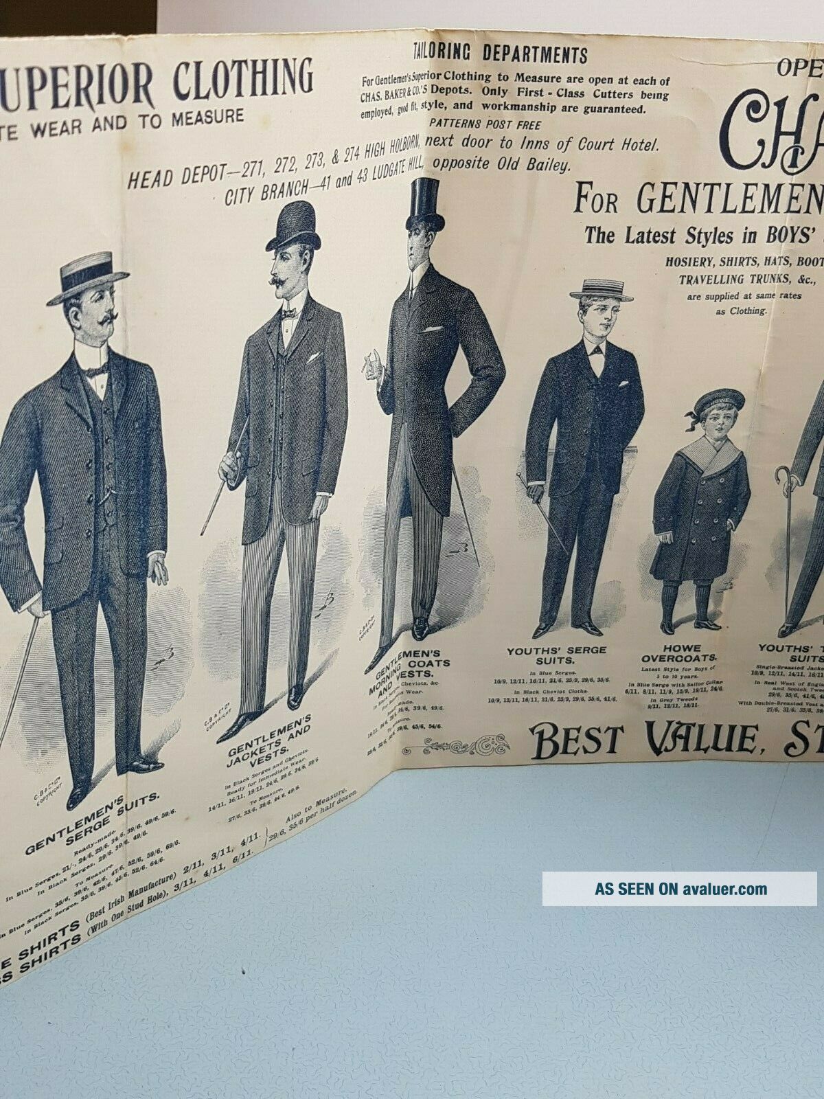
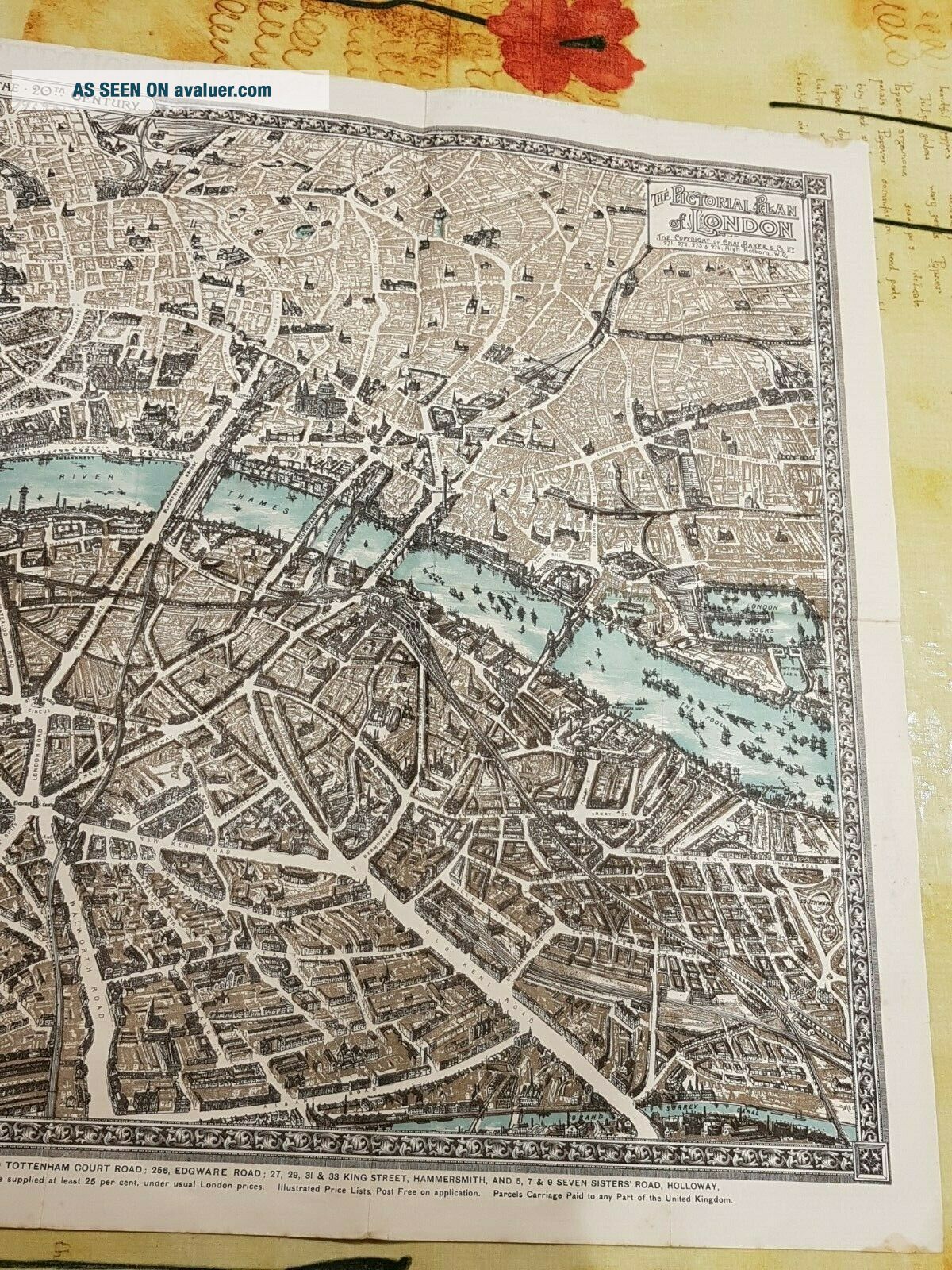
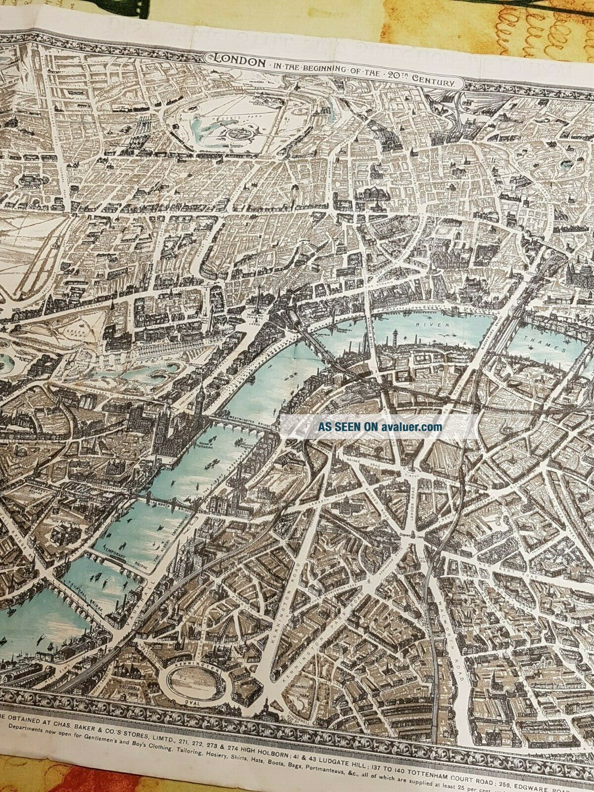
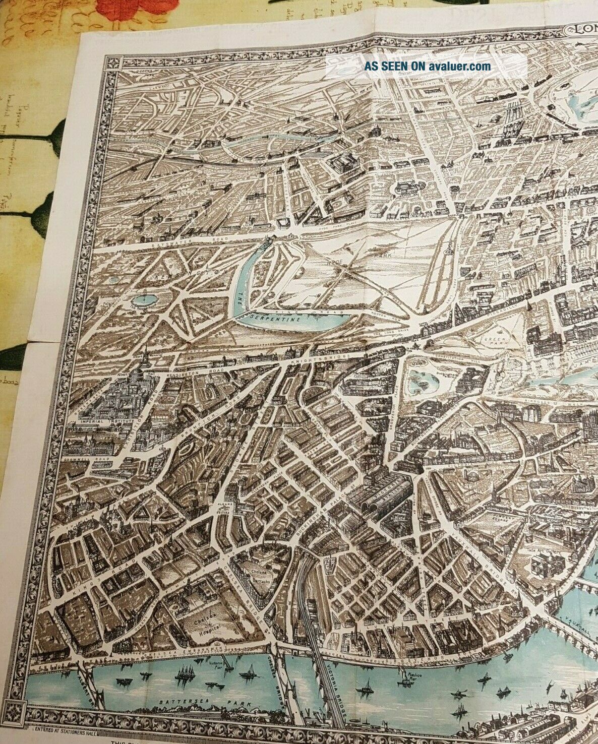
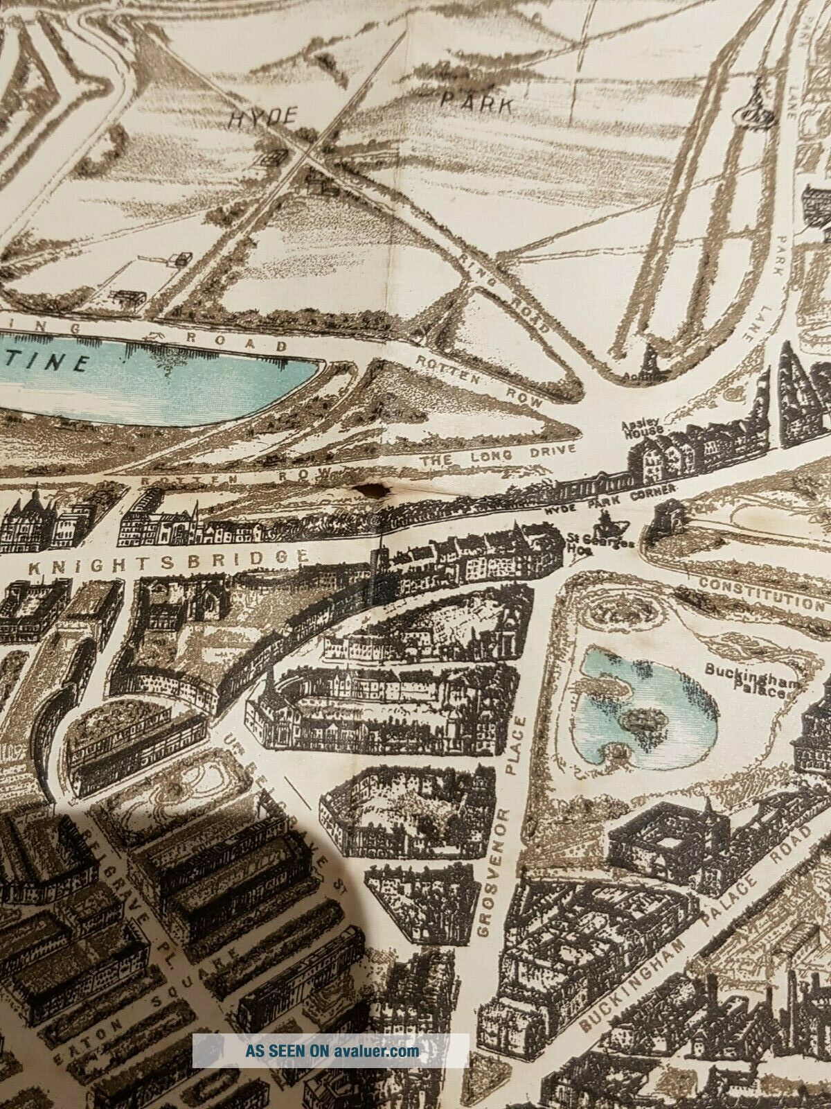
1897 The Pictorial Plan of London Enlarged Edition with Cha Baker & cos Stores add lithograph, The  Cha Baker & cos Stores add shows great detail outfit of the time for gentlemen and young boys., also shows what their shop fronts looked like. Map shows A fantastic item to add to your collection, nice item to frame. Colour and detail to the birds eye view still in good condition.
Measurements of   the item; 82, 5cm x 47cm / 32.48in x 18....50in

The is damage / wear around the folds of the map a few small tears to the folds & small holes in places. There is some foxing in places due to age.

Please check out all of thephotos, read full description and Condition description which is under Item conditionand above where you bid, before you bid. Any Bidders out side the uk, please take inconsideration the postage cost maybe way more expensive then the uk postage, and any possible customs cost is not included in the postage.         Please also take time tocheck out my other Vintage Items I have up for sale. 


    Similar items


  • 1930 The Pictorial Plan Of London England Uk Geographia Fold - Out Map 30 " X 20 "

    1930 The Pictorial Plan Of London England Uk Geographia Fold - Out Map 30 " X 20 "

  • 1912 Antique Map Pictorial Plan Of London Ned The Donkey & Sloth Bears To The Us

    1912 Antique Map Pictorial Plan Of London Ned The Donkey & Sloth Bears To The Us

  • 1912 Antique Map Enlarged Pictorial Plan Of London - Chas Baker & Co.

    1912 Antique Map Enlarged Pictorial Plan Of London - Chas Baker & Co.

  • Vintage 1920s Geographia Pictorial Plans Of London Published By Geographia Ltd.

    Vintage 1920s Geographia Pictorial Plans Of London Published By Geographia Ltd.

  • 1884 Bewick Woodcuts Throughout Cries Of London Enlarged Ed Binding Vg

    1884 Bewick Woodcuts Throughout Cries Of London Enlarged Ed Binding Vg

  • Vintage Pictorial Plan Of London By Alexander Gross “geographia” Ltdfleet St

    Vintage Pictorial Plan Of London By Alexander Gross “geographia” Ltdfleet St

  • Old Map Of England The Pictorial Map Of London Cloth Map

    Old Map Of England The Pictorial Map Of London Cloth Map

  • Old Art Map Of England The Pictorial Map Of London

    Old Art Map Of England The Pictorial Map Of London


    • You might also like


    • Hungary & Romania 1579 (1584) Ortelius Unusual Antique Copper Engraved Map

      Hungary & Romania 1579 (1584) Ortelius Unusual Antique Copper Engraved Map

    • Brussels Bruxelles Belfium 1777 De Ferraris & Dupuis Large Antique Map Sheet Xxi

      Brussels Bruxelles Belfium 1777 De Ferraris & Dupuis Large Antique Map Sheet Xxi

    • 1616 Atlas Map Of Iceland.

      1616 Atlas Map Of Iceland.

    • Kazan Russia 1767 Le Clerc/lespinasse Antique Copper Engraved City View

      Kazan Russia 1767 Le Clerc/lespinasse Antique Copper Engraved City View

    • 1899 Stanford,  Folding Map Of Norwich,  Norfolk,  Arthur Collins,  Jarrold & Sons,

      1899 Stanford, Folding Map Of Norwich, Norfolk, Arthur Collins, Jarrold & Sons,

    • 1948 Vintage Linen Colour Map Geological Survey Ten Mile Of Great Britain

      1948 Vintage Linen Colour Map Geological Survey Ten Mile Of Great Britain

    • 1944 Map Flying Bombs Sussex Ww2 Newspaper Military Kent Courier German V1 V2

      1944 Map Flying Bombs Sussex Ww2 Newspaper Military Kent Courier German V1 V2

    • Dated 1638 Vellum Map Of Icklesham Sussex Showing Land Uses Owners Etc

      Dated 1638 Vellum Map Of Icklesham Sussex Showing Land Uses Owners Etc

Avaluer          About Us          Privacy Policy          Contact Us          UP
© 2022, avaluer.net, Inc. or its affiliates