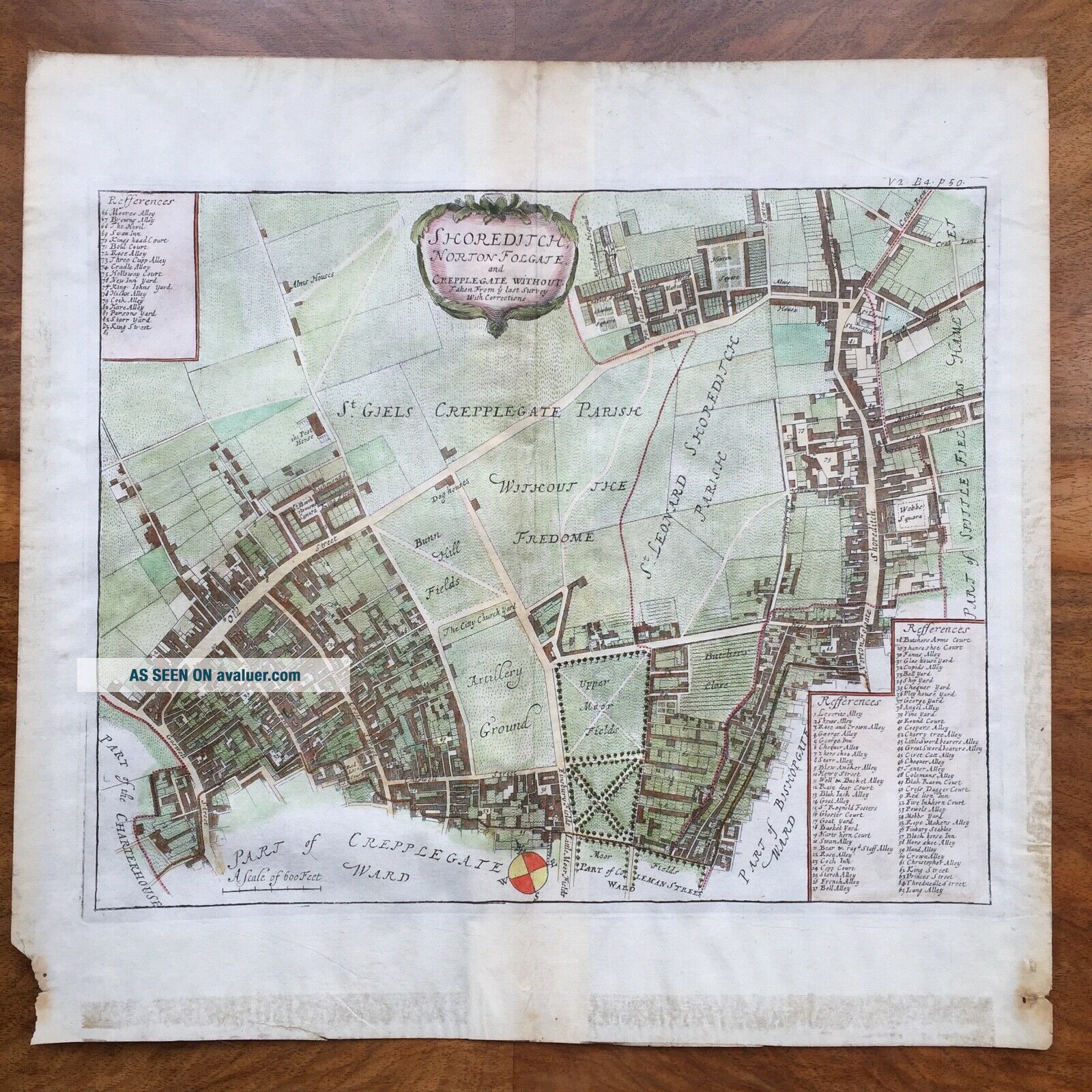
1720 John Strype ' S Map: Shoreditch, Norton Folgate & Crepplegate Without, Hoxton
Item History & Price
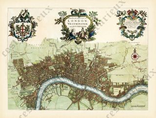
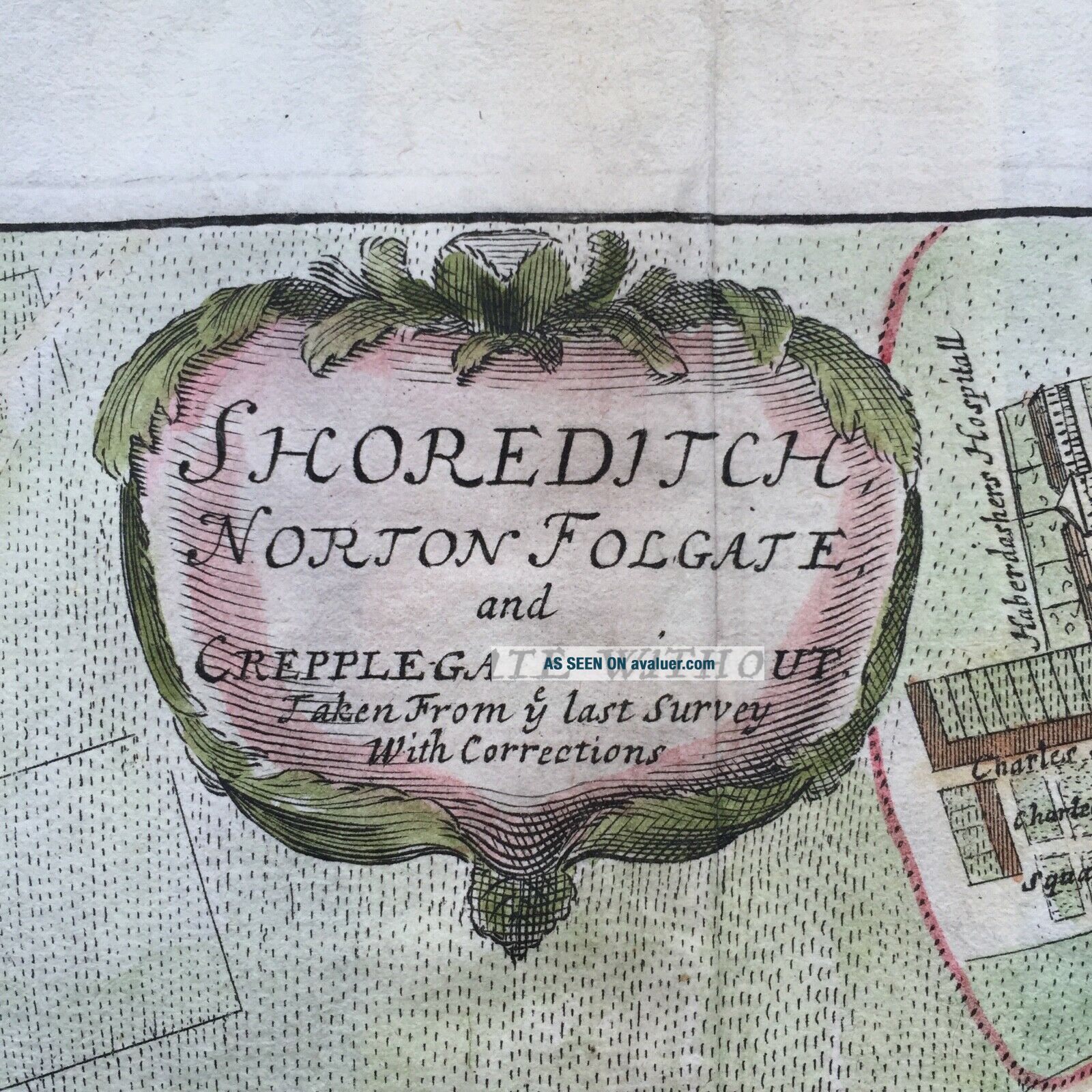
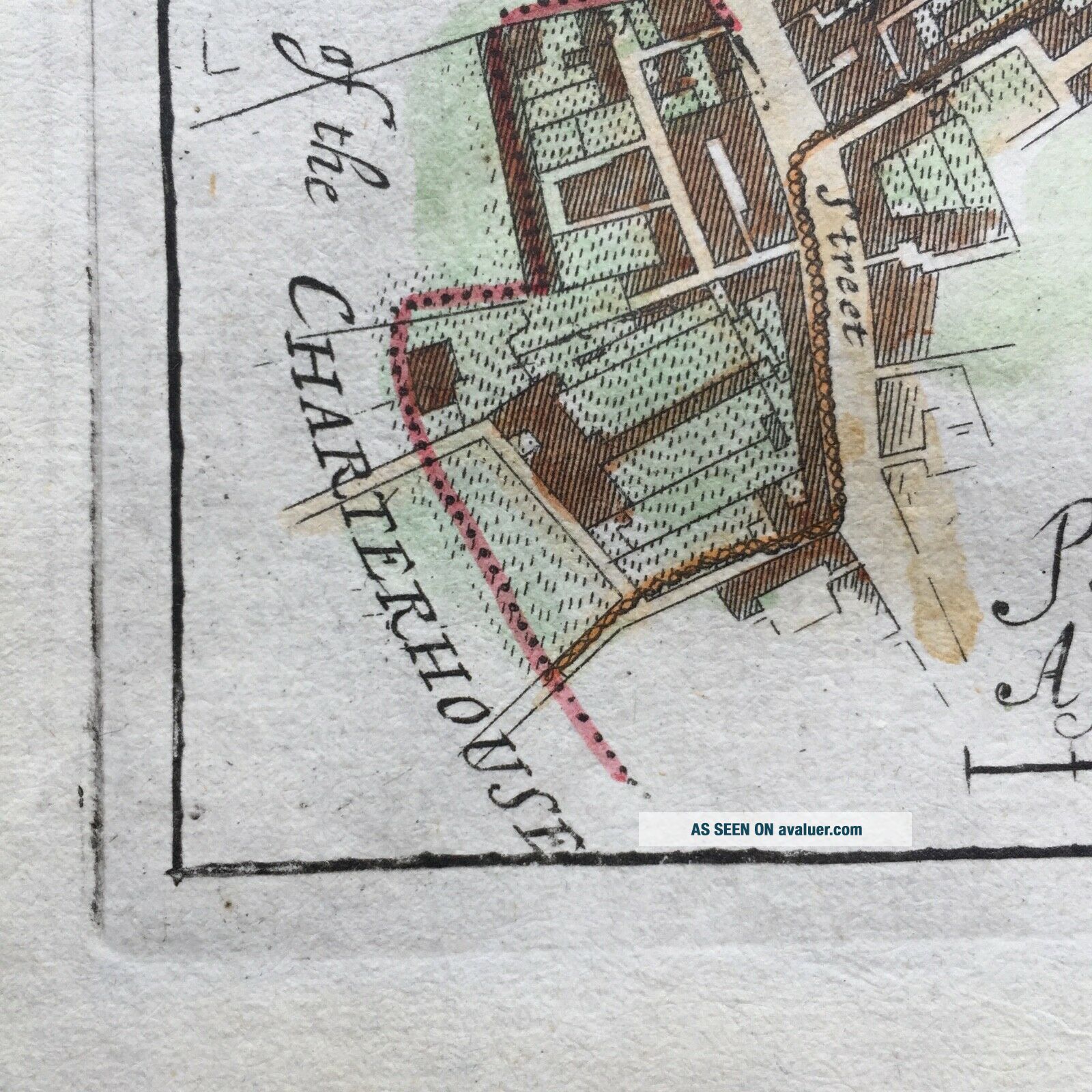
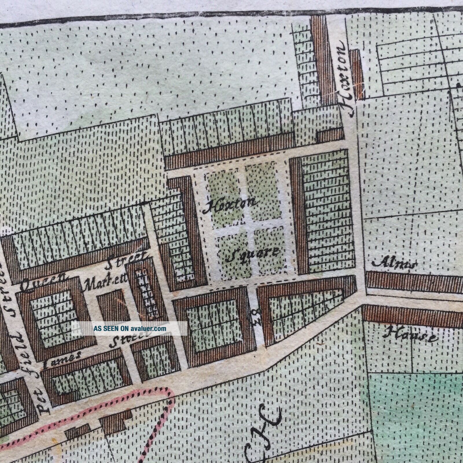
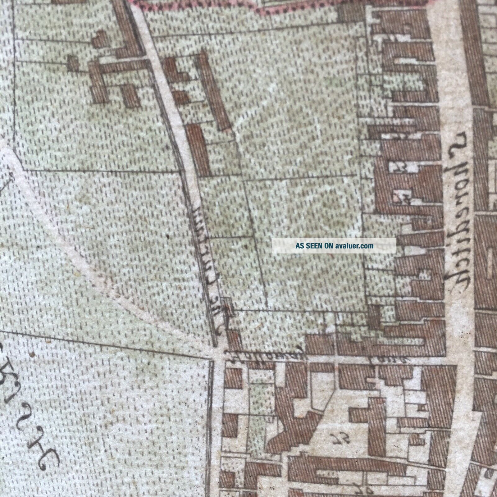
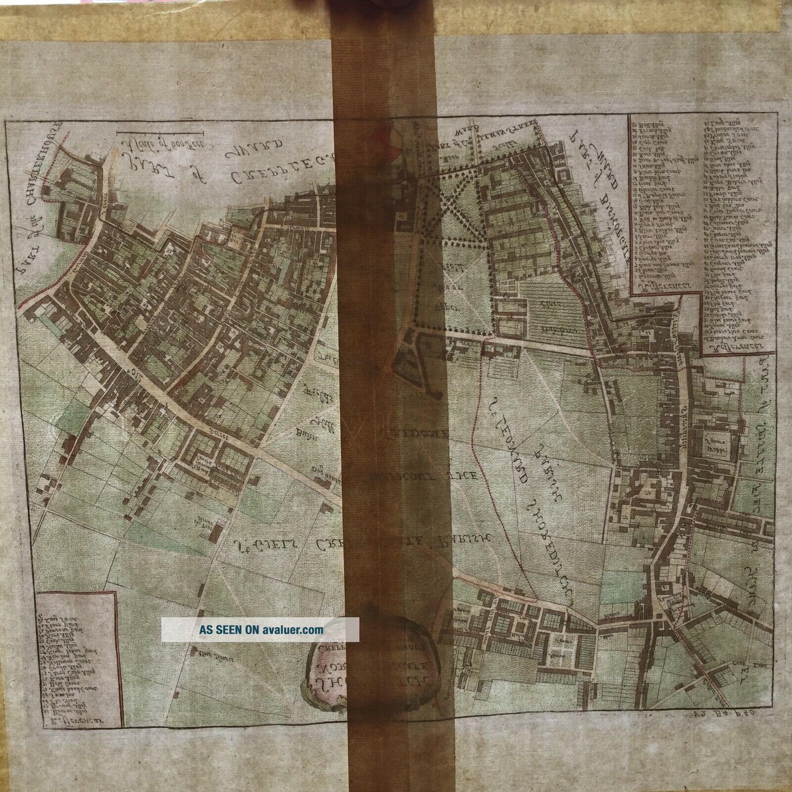
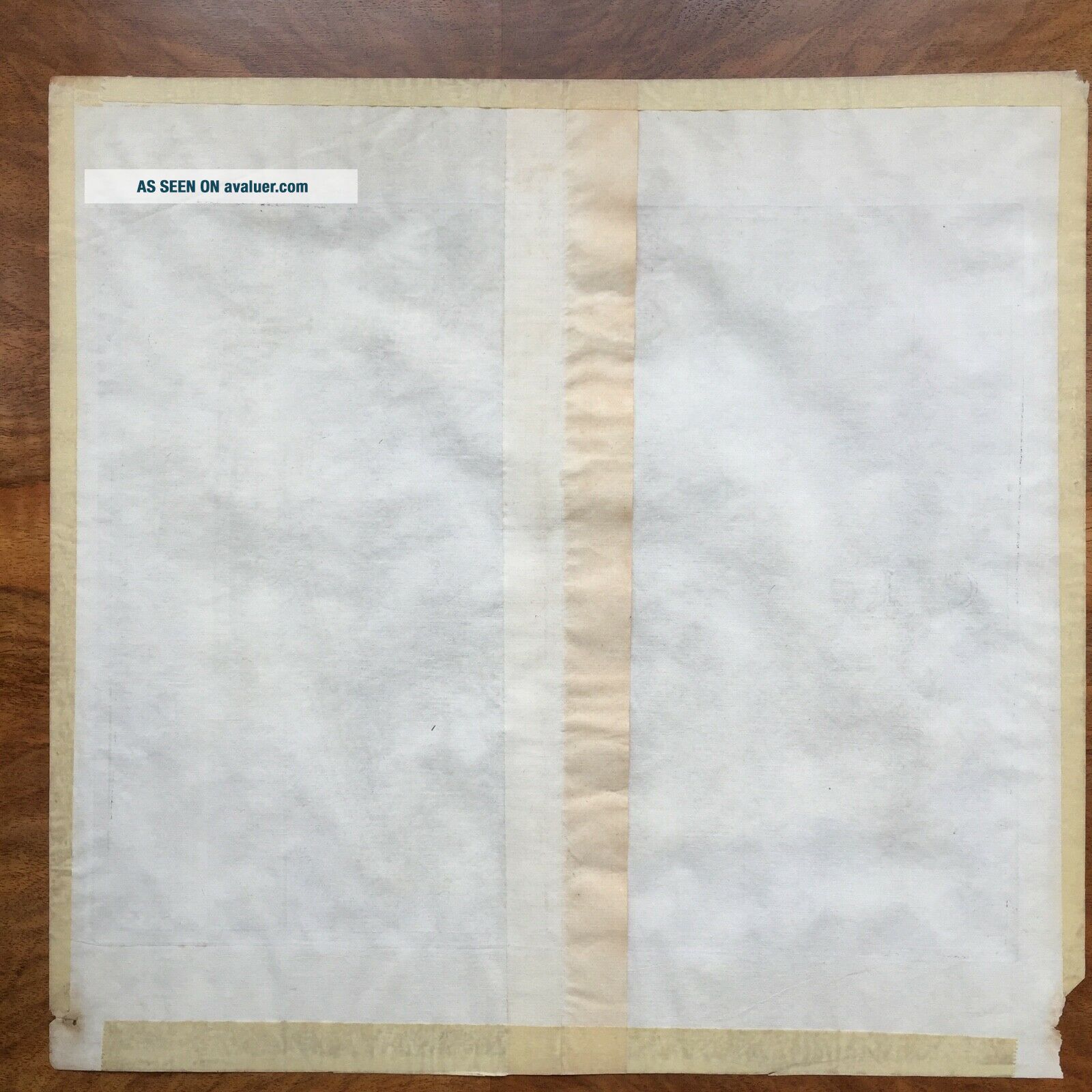
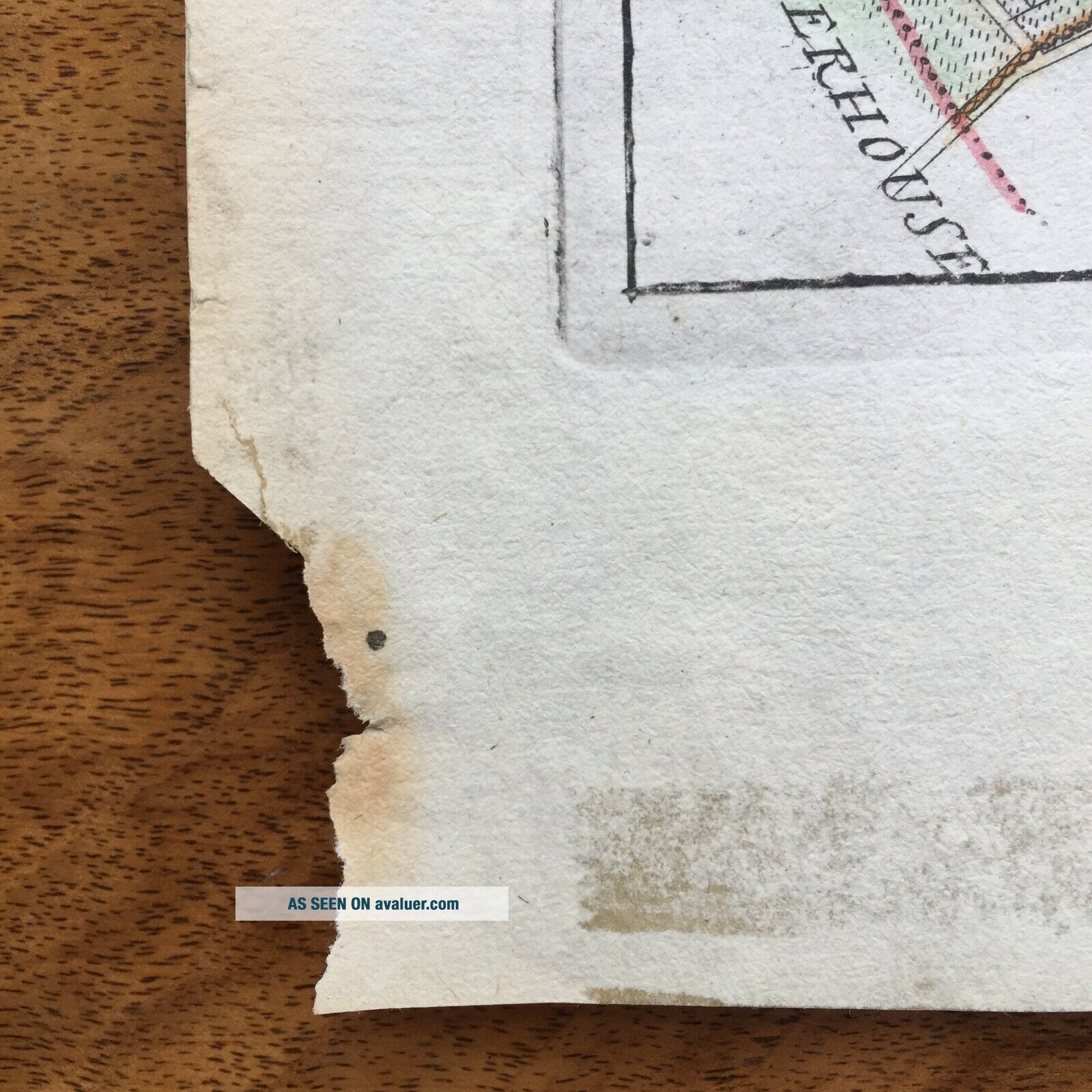
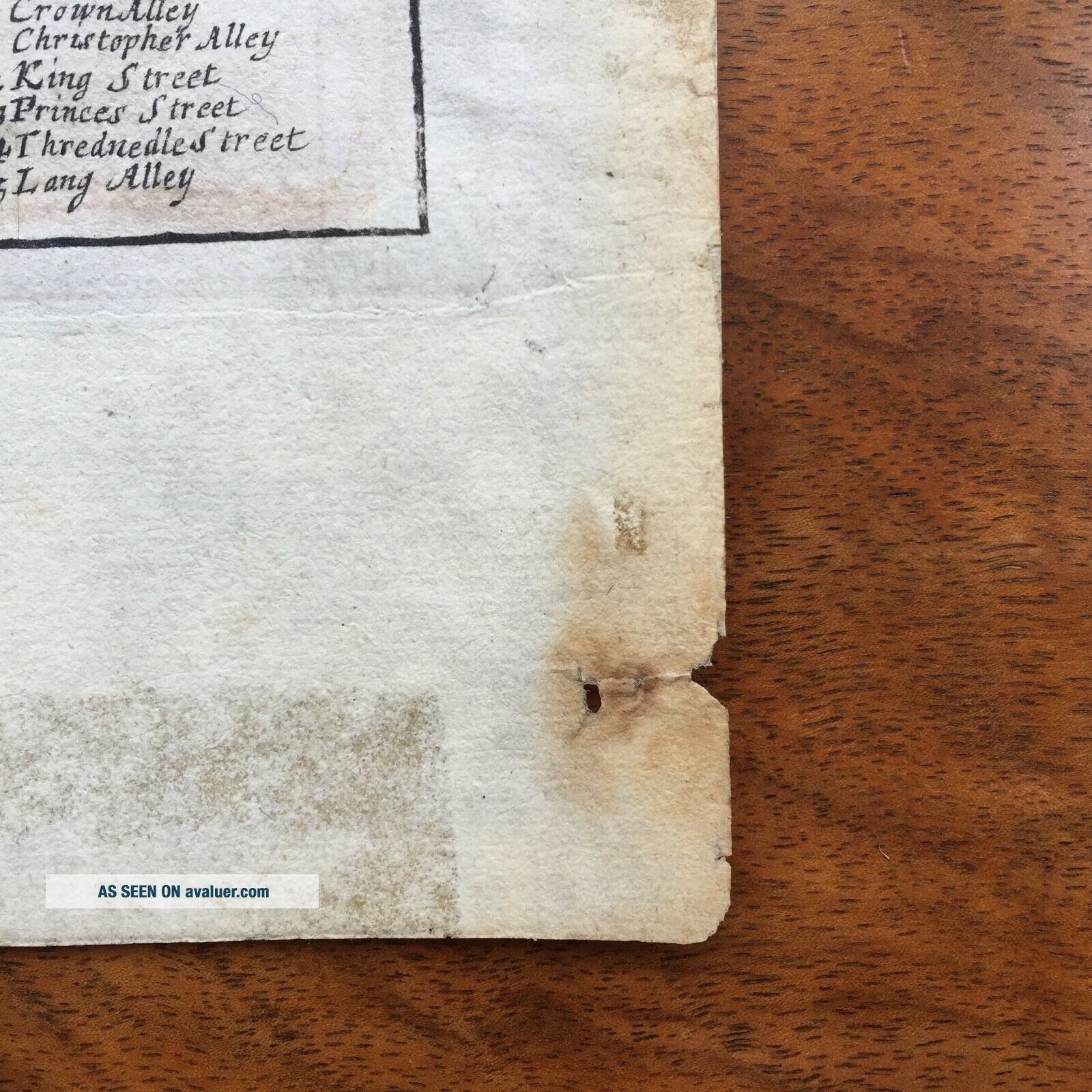
You are bidding for a folio map from the 1720 edition of John Strype's ‘A Survey of the Cities of London and Westminster’The ‘survey’ is a rework and expanded version of John Stow’s survey published in 1598. It contains a large number of illustrations, including important post Fire of London maps, which provide a detailed rendering of the capital's parishes and wards. This work was originally published in two volumes. Volume One contains books 1-3 and Volume Two con...tains books 4-6 plus appendices. This copperplate engraving of Shoreditch, Norton Folgate & Crepplegate Without can be found on page 50, Book 4, Volume 2. You can view this information by visiting the dedicated website which has digital publication of this important book sponsored in part by the University of Sheffield ISBN: 0-9542608-9-9 and referenced at the British Library. It shows a detailed plan of the parishes of Shoreditch and St Giles Cripplegate Without, extending from Goswell St., in the west, to Shoreditch High St., to the east, and the line of London wall, in the south, to Old St., to the north. It includes Hoxton Square, one of the older squares in London. Original engraver and cartographer was Richard Blome although his name was removed from the publication. You can clearly see the copperplate “bed” marks around the map. Hand coloured at a later date (unknown). Blank verso. Chain and line patterns are clearly visible in the paper as well as the watermark which consists of a G F initials together with a Fleur de Lis (photos 5, 6 and 7). The map has a middle fold and has its original guard which would be bound into the book (photos 7 and 8). Please note this is the 1720 version of the map not the later updated version of 1754. The later version contains additional wording at the bottom of the map which is not present on this engraving.
Good condition with mildly age toned. Beautiful crisp print.
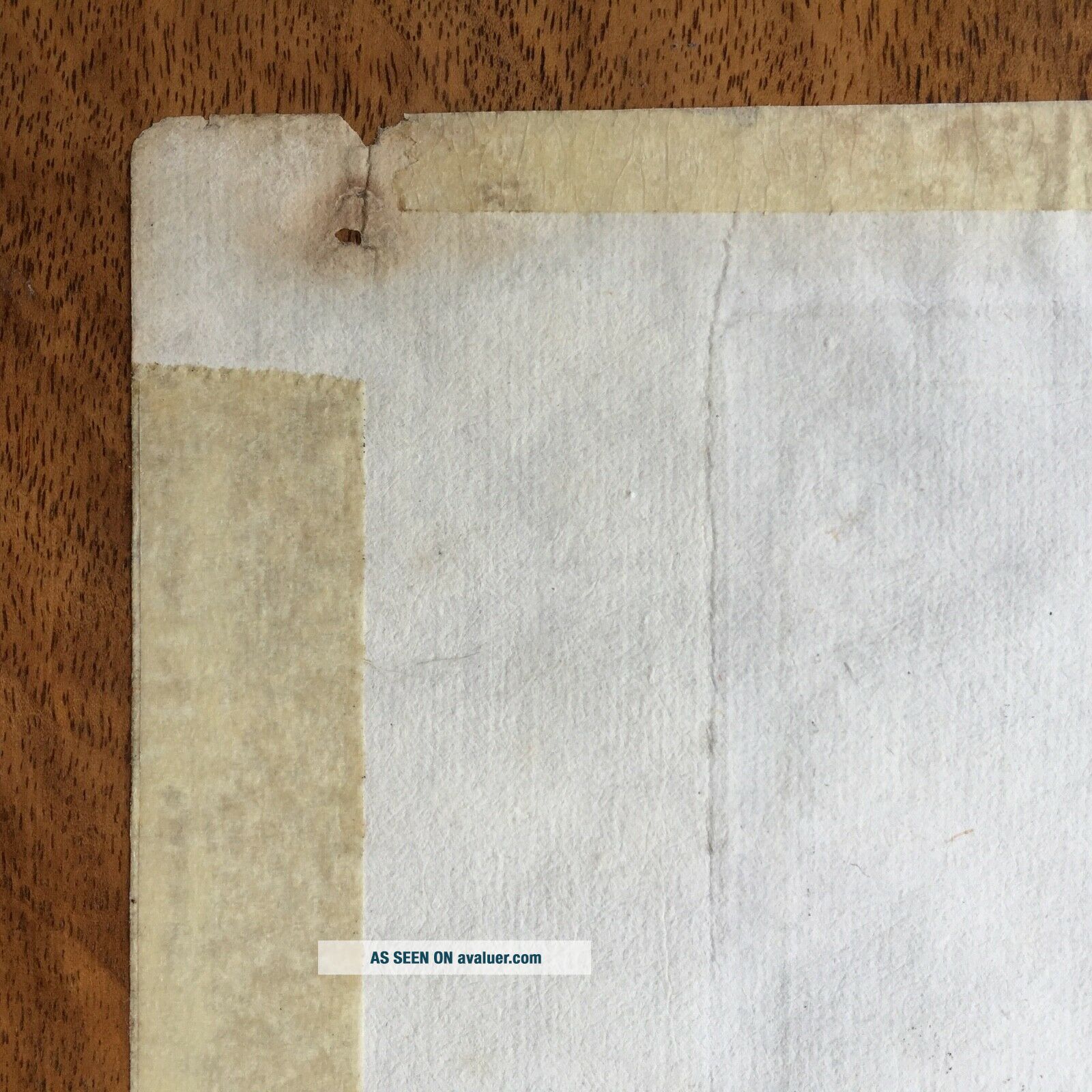
The map may have been pinned in the corners in the past but for the last decades has been in a frame free of dust and away from sunlight. Please note that in the framing process the map has been secured in place with masking tape. I have left the masking tape in place so not to damage the paper. However it does not detract from the overall quality of the piece.
It appears that the folio / map is in its original and has not been trimmed which is very important.
Overall size 38.5 cm high x 40 cm width (385mm x 400mm)Image size including copperplate bed 29 cm high x 35.6 cm width (290mm x 356mm)
The information in this listing is based on the extensive research I have done on the map and my background in the printing industry.
Please contact me for any additional information or photos you may need.
Starting bid is 99p and I am confident it will find its right price. Paypal only. Worldwide shipping however can be collected in London or South East England - UK by prior arrangement
Good condition with mildly age toned. Beautiful crisp print.
The map may have been pinned in the corners in the past but for the last decades has been in a frame free of dust and away from sunlight. Please note that in the framing process the map has been secured in place with masking tape. I have left the masking tape in place so not to damage the paper. However it does not detract from the overall quality of the piece.
It appears that the folio / map is in its original and has not been trimmed which is very important.
Overall size 38.5 cm high x 40 cm width (385mm x 400mm)Image size including copperplate bed 29 cm high x 35.6 cm width (290mm x 356mm)
The information in this listing is based on the extensive research I have done on the map and my background in the printing industry.
Please contact me for any additional information or photos you may need.
Starting bid is 99p and I am confident it will find its right price. Paypal only. Worldwide shipping however can be collected in London or South East England - UK by prior arrangement