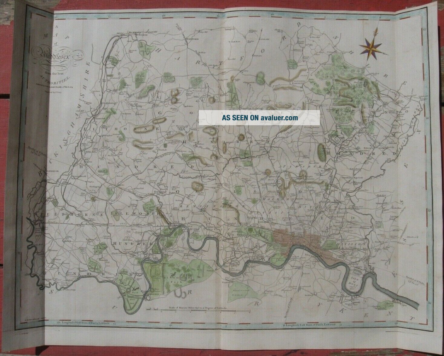
1805 John Cary Folio Map - MIDDLESEX, ENGLAND - London Area - Camden ' S Britannia


Item History & Price

Information:
Reference Number: Avaluer:7241
Original Description:
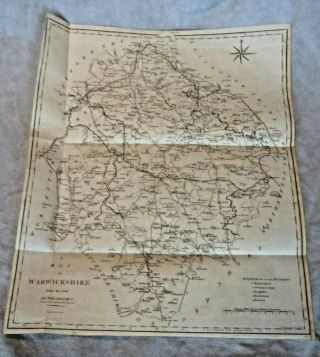
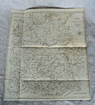
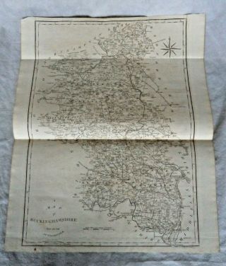
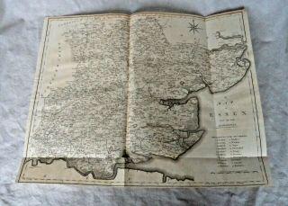
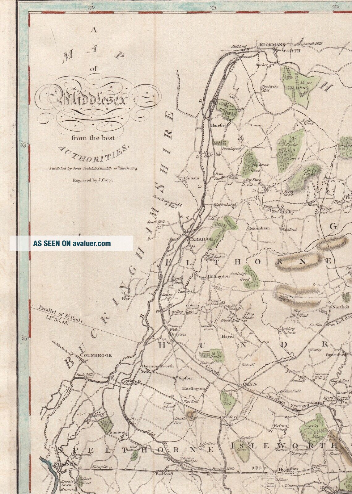
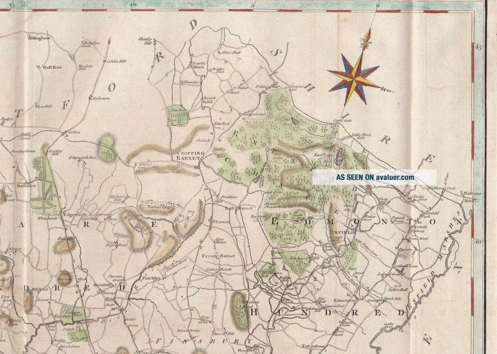
A superb John Cary map of "Middlesex from the best Authorities" published in Volume II to William Camden's "Britannia", enlarged by the Latest Discoveries by Richard Gough - see below. The volume was published by John Stockdale in 1809 although the map itself is dated March 1805. 
Decorative title and compass rose. Attractive later hand coloring

The map is in superb condition with vertical folds as required by the publisher to match the standard page size. Beautiful... paper stock watermarked 1809. Overall page size 22 x 17 inches - map size 20.5 x 14 inches

William Camden


    Similar items


  • Antique Map John Cary 1794 - Hertfordshire Middlesex 10x8inch [19270]

    Antique Map John Cary 1794 - Hertfordshire Middlesex 10x8inch [19270]

  • Large Georgian 1805 Copper Plate County Map Warwickshire By John Cary

    Large Georgian 1805 Copper Plate County Map Warwickshire By John Cary

  • Large Georgian 1805 Copper Plate County Map Shropshire By John Cary

    Large Georgian 1805 Copper Plate County Map Shropshire By John Cary

  • Large Georgian 1805 Copper Plate County Map Buckinghamshire John Cary

    Large Georgian 1805 Copper Plate County Map Buckinghamshire John Cary

  • Large Georgian 1805 Copper Plate County Map Essex By John Cary

    Large Georgian 1805 Copper Plate County Map Essex By John Cary

  • Large Georgian 1805 Copper Plate County Map Hartfordshire By John Cary

    Large Georgian 1805 Copper Plate County Map Hartfordshire By John Cary

  • Large Georgian 1805 Copper Plate County Map Oxfordshire By John Cary

    Large Georgian 1805 Copper Plate County Map Oxfordshire By John Cary

  • Large Georgian 1805 Copper Plate County Map Bedfordshire By John Cary

    Large Georgian 1805 Copper Plate County Map Bedfordshire By John Cary


    • You might also like


    • Hungary & Romania 1579 (1584) Ortelius Unusual Antique Copper Engraved Map

      Hungary & Romania 1579 (1584) Ortelius Unusual Antique Copper Engraved Map

    • Brussels Bruxelles Belfium 1777 De Ferraris & Dupuis Large Antique Map Sheet Xxi

      Brussels Bruxelles Belfium 1777 De Ferraris & Dupuis Large Antique Map Sheet Xxi

    • 1616 Atlas Map Of Iceland.

      1616 Atlas Map Of Iceland.

    • Kazan Russia 1767 Le Clerc/lespinasse Antique Copper Engraved City View

      Kazan Russia 1767 Le Clerc/lespinasse Antique Copper Engraved City View

    • 1899 Stanford,  Folding Map Of Norwich,  Norfolk,  Arthur Collins,  Jarrold & Sons,

      1899 Stanford, Folding Map Of Norwich, Norfolk, Arthur Collins, Jarrold & Sons,

    • 1948 Vintage Linen Colour Map Geological Survey Ten Mile Of Great Britain

      1948 Vintage Linen Colour Map Geological Survey Ten Mile Of Great Britain

    • 1944 Map Flying Bombs Sussex Ww2 Newspaper Military Kent Courier German V1 V2

      1944 Map Flying Bombs Sussex Ww2 Newspaper Military Kent Courier German V1 V2

    • Dated 1638 Vellum Map Of Icklesham Sussex Showing Land Uses Owners Etc

      Dated 1638 Vellum Map Of Icklesham Sussex Showing Land Uses Owners Etc

Avaluer          About Us          Privacy Policy          Contact Us          UP
© 2022, avaluer.net, Inc. or its affiliates