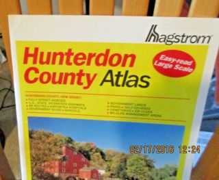
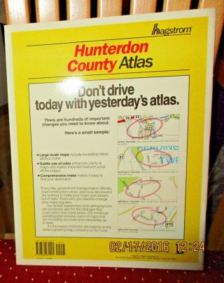
VINTAGE HAGSTROM ATLAS MAP OF HUNTERDON COUNTY NJ 1996 PAPERBACK


Item History & Price

Information:
Reference Number: Avaluer:10951Type: County Map
Features: VintageMaker: Hagstrom
Format: PaperbackOriginal/Reproduction: Original
Topic: AtlasesISBN-10:: 0880970928
Year: 1996Publisher:: Hagstrom Map Co; 1st edition (Dec. 1996)
Publication Year: 1996
Original Description:
VINTAGE HAGSTROM ATLAS MAP OF HUNTERDON COUNTY NJ 1996 PAPERBACKExcellent like new condition. Inside pages are pristine. Very small crease in upper left corner. 1st large scale edition. 
I pack very carefully and ship fast!Please check measurements if applicable!Please ask any & all questions before purchasing.From a smoke-free, pet-free home.Payment due within 3 days of auction ending.
If there is a problem, please CONTACT ME FIRST to ...resolve it. I want you to be happy with your purchase.PLEASE leave feedback if you are happy with your purchase & transaction. THANK YOU!!!


    Similar items


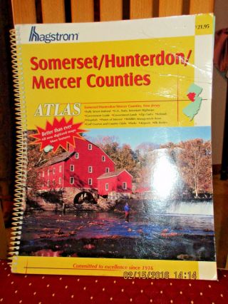
  • Vintage Hagstrom Atlas Map Of Somerset Hunterdon Mercer Counties Nj 2004

    Vintage Hagstrom Atlas Map Of Somerset Hunterdon Mercer Counties Nj 2004

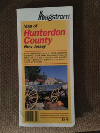
  • 1996 Hagstrom Street Map Of Hunterdon County,  Jersey Ex.  Cond.

    1996 Hagstrom Street Map Of Hunterdon County, Jersey Ex. Cond.

  • 1992 Hagstrom Street Map Of Hunterdon County,  Jersey

    1992 Hagstrom Street Map Of Hunterdon County, Jersey

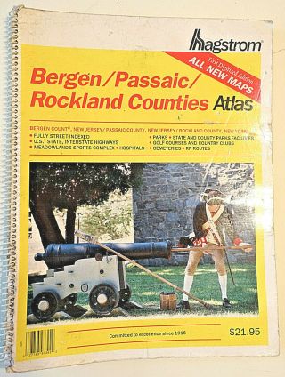
  • Vintage 1999 Spiral Bound Hagstrom Atlas Map Of Bergen/passaic/rockland Counties

    Vintage 1999 Spiral Bound Hagstrom Atlas Map Of Bergen/passaic/rockland Counties

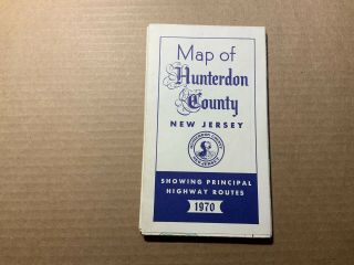
  • Map Of Hunterdon County Jersey Nj 1970 Showing Principal Highway Routes Vtg

    Map Of Hunterdon County Jersey Nj 1970 Showing Principal Highway Routes Vtg

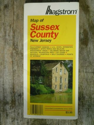
  • Vintage 1993 Hagstrom Road Map Of Sussex County Jersey

    Vintage 1993 Hagstrom Road Map Of Sussex County Jersey

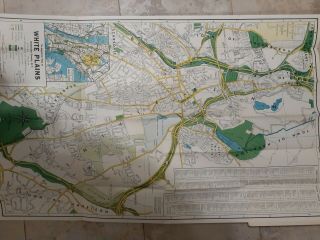
  • Vintage Hagstrom

    Vintage Hagstrom ' S Map Of White Plains, York Ny 1960s Westchester County

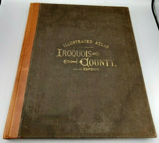
  • Vintage 1884 Illustrated Atlas Map Of Iroquois County,  Illinois - Quarto Hc Rare

    Vintage 1884 Illustrated Atlas Map Of Iroquois County, Illinois - Quarto Hc Rare


    • You might also like


    • 1860 Mitchell Hand Colored Map Colorado,  Nebraska & Kansas - Civil War Era

      1860 Mitchell Hand Colored Map Colorado, Nebraska & Kansas - Civil War Era

    • 18th Century French Map Of North America

      18th Century French Map Of North America

    • Las Vegas Nevada Vintage 1967 Us Geological Survey Quadrangle Map 4 Panels

      Las Vegas Nevada Vintage 1967 Us Geological Survey Quadrangle Map 4 Panels

    • Rare Antique 1845 Maps United States Exploring Expedition Book Antartica Hawaii

      Rare Antique 1845 Maps United States Exploring Expedition Book Antartica Hawaii

    • Vintage 1926 Map Hollywood From The Best Surveys Of The Time

      Vintage 1926 Map Hollywood From The Best Surveys Of The Time

    • American Continent (western Hemisphere) 1747 Bowen Antique Copper Engraved Map

      American Continent (western Hemisphere) 1747 Bowen Antique Copper Engraved Map

    • Gulf Coast Florida Texas United States 1705 De Fer Unusual Antique Engraved Map

      Gulf Coast Florida Texas United States 1705 De Fer Unusual Antique Engraved Map

    • California As Island United States 1700 De Fer Unusual First Edition Antique Map

      California As Island United States 1700 De Fer Unusual First Edition Antique Map

Avaluer          About Us          Privacy Policy          Contact Us          UP
© 2022, avaluer.net, Inc. or its affiliates