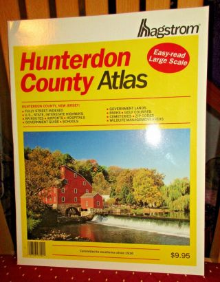
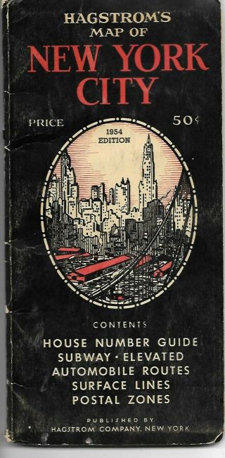
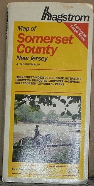
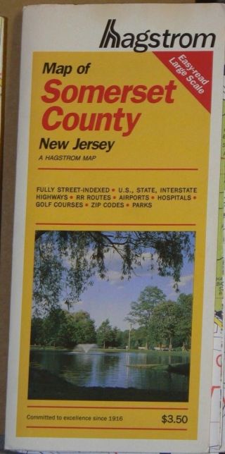
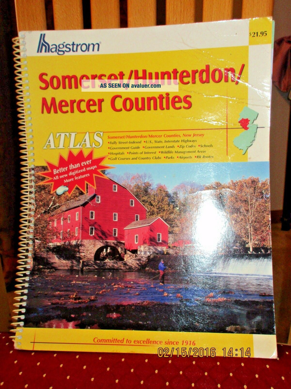
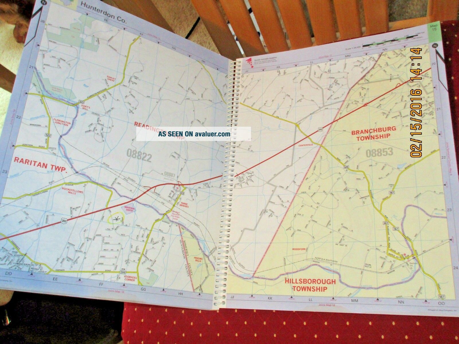
VINTAGE HAGSTROM ATLAS MAP OF SOMERSET HUNTERDON MERCER COUNTIES NJ 2004

Item History & Price
VINTAGE HAGSTROM ATLAS MAP OF SOMERSET HUNTERDON MERCER COUNTIES NJ 2004Very good condition. Slight wear to front cover. Inside pages are pristine.
I pack very carefully and ship fast!Please check measurements if applicable!Please ask any & all questions before purchasing.From a smoke-free, pet-free home.Payment due within 3 days of auction ending.
If there is a problem, please CONTACT ME FIRST to resolve it. I want you to be happy with your purchase....PLEASE leave feedback if you are happy with your purchase & transaction. THANK YOU!!!