1938 TOPOGRAPHIC MAP Of Island Of Oahu, City & County Of HONOLULU, WWII. LOOK


Item History & Price
Up for Auction!
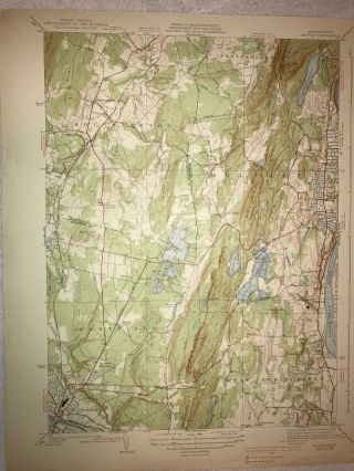
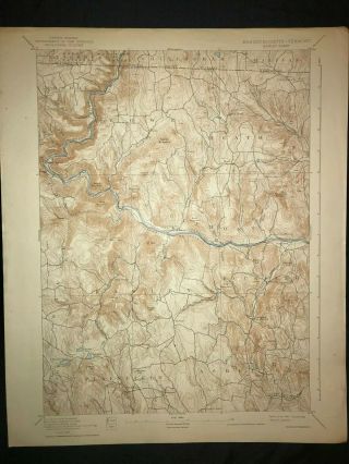
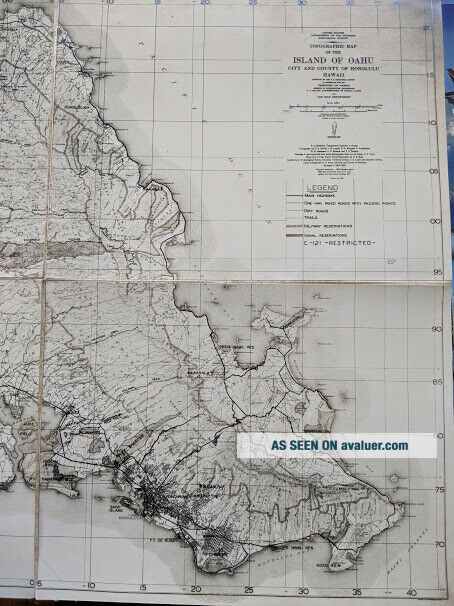
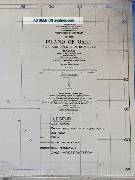
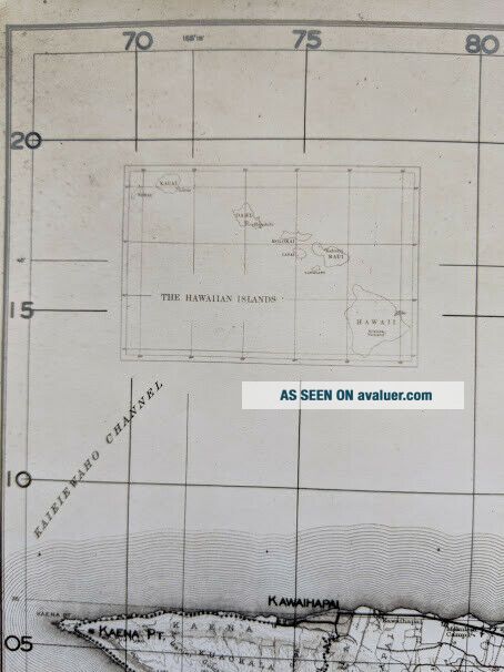
United States Department of the Interior Geological Survey
TOPOGRAPHIC MAP OF THE ISLAND OF OAHUCITY AND COUNTY OF HONOLULU, HAWAII
Surveyed by the U.S. Geological Survey in Cooperation with the Territory of HawaiiJoseph B. Poindexter Governor and C.T. Bailey, Commissioner of Public Lands and The War Department.Surveyed in 1927-1930, Edition of 1938
Legend includes: Main Highways, One-way paved roads with passing points, Dirt Roads, Trails, Military Re...servations, Naval reservations, C-121 RESTRICTED
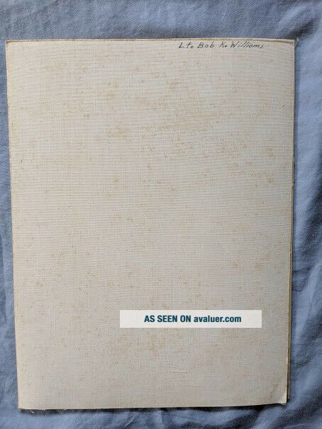
This is a map that folds up. Please see the photo, the map is carefully matted in four sections. No rips or tears. Some darkening on the upper right corner and lower left corner. When it is all folded, it does have a military name on it of, Lt. Bob K. Williams, see photo. On the actual map in very very tiny writing is listed another military name of Sgt. J. Tracy, 6-2 Office, 3-6-39
The map is in very good condition, considering its age. Great to add to your Military Map Collection!
Please ask any questions before bidding.Thank you for looking!Have a Great Day!
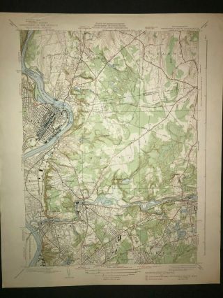
United States Department of the Interior Geological Survey
TOPOGRAPHIC MAP OF THE ISLAND OF OAHUCITY AND COUNTY OF HONOLULU, HAWAII
Surveyed by the U.S. Geological Survey in Cooperation with the Territory of HawaiiJoseph B. Poindexter Governor and C.T. Bailey, Commissioner of Public Lands and The War Department.Surveyed in 1927-1930, Edition of 1938
Legend includes: Main Highways, One-way paved roads with passing points, Dirt Roads, Trails, Military Re...servations, Naval reservations, C-121 RESTRICTED
This is a map that folds up. Please see the photo, the map is carefully matted in four sections. No rips or tears. Some darkening on the upper right corner and lower left corner. When it is all folded, it does have a military name on it of, Lt. Bob K. Williams, see photo. On the actual map in very very tiny writing is listed another military name of Sgt. J. Tracy, 6-2 Office, 3-6-39
The map is in very good condition, considering its age. Great to add to your Military Map Collection!
Please ask any questions before bidding.Thank you for looking!Have a Great Day!