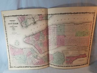
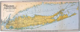
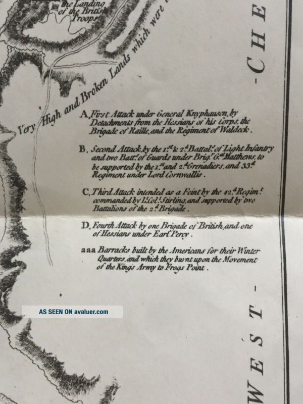
1777 Topographical Map Of York Island Exhibiting The Plan Of Fort Washington
Item History & Price
Reference Number: Avaluer:30658048 |
1862 Johnson & Ward Map Of York City And The Adjacent Cities No Res
Topographic Map Of Easter Island, Rapa Nui, Chile, Moai Statues Etc. - - Postcard
1911 Map Of Long Island Showing The Long Island Rr & Montauk Steamboat Systems
Colton’s Map Of Long Island And The Southern Part Of Connecticut
An Old Geographic And Topographic Map Of Nazareth Palestine By The Haganah 1944
Rare Map Antique Vintage Map Of Oahu Island Hawaii The Gray Line
Vintage 1980 - 1981 Map Of Rhode Island From The Governor Old Stock
Rare Map Antique Vintage Map Of Oahu Island Hawaii The Gray Line
1860 Mitchell Hand Colored Map Colorado, Nebraska & Kansas - Civil War Era
18th Century French Map Of North America
Las Vegas Nevada Vintage 1967 Us Geological Survey Quadrangle Map 4 Panels
Rare Antique 1845 Maps United States Exploring Expedition Book Antartica Hawaii
Vintage 1926 Map Hollywood From The Best Surveys Of The Time
American Continent (western Hemisphere) 1747 Bowen Antique Copper Engraved Map
Gulf Coast Florida Texas United States 1705 De Fer Unusual Antique Engraved Map
California As Island United States 1700 De Fer Unusual First Edition Antique Map