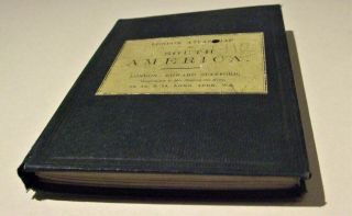
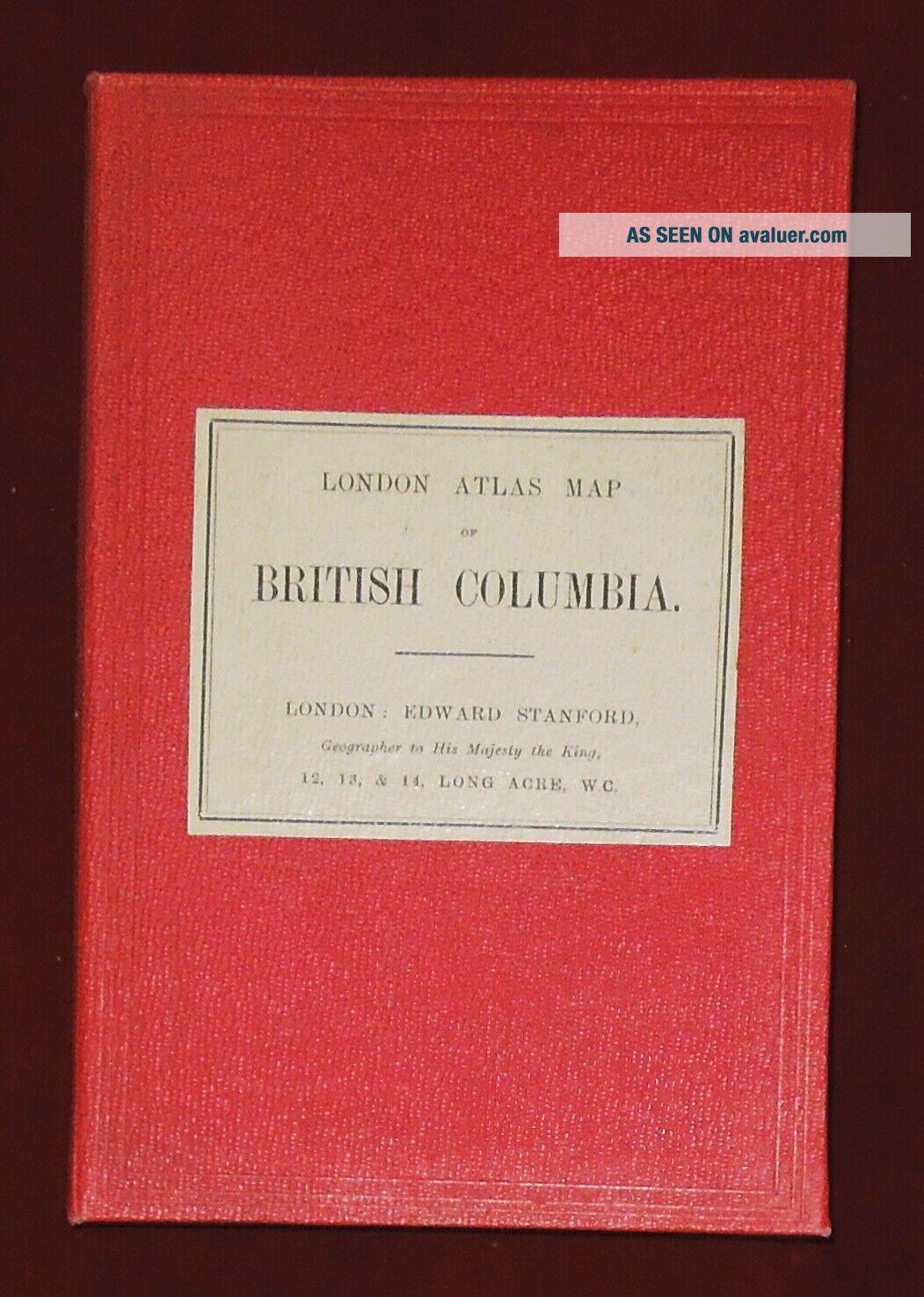
EDWARD STANFORD 1:5274720 LINEN BACKED LONDON ATLAS MAP OF BR. COLUMBIA - C. 1910
Item History & Price
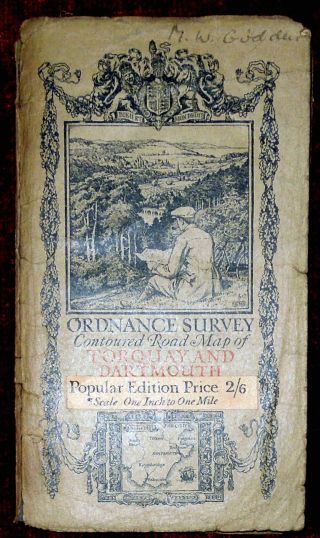
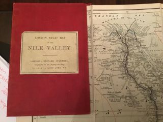
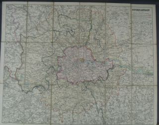
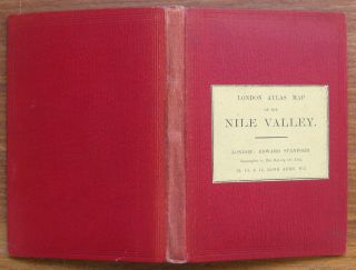
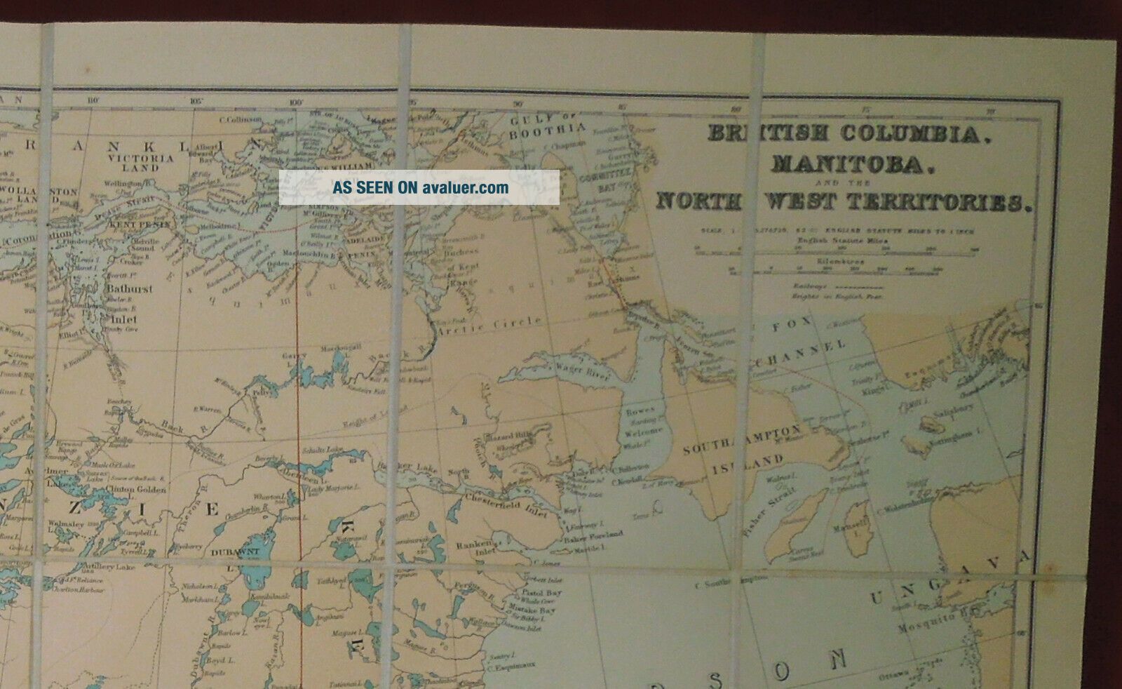
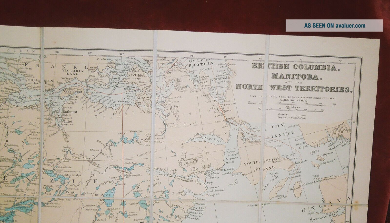
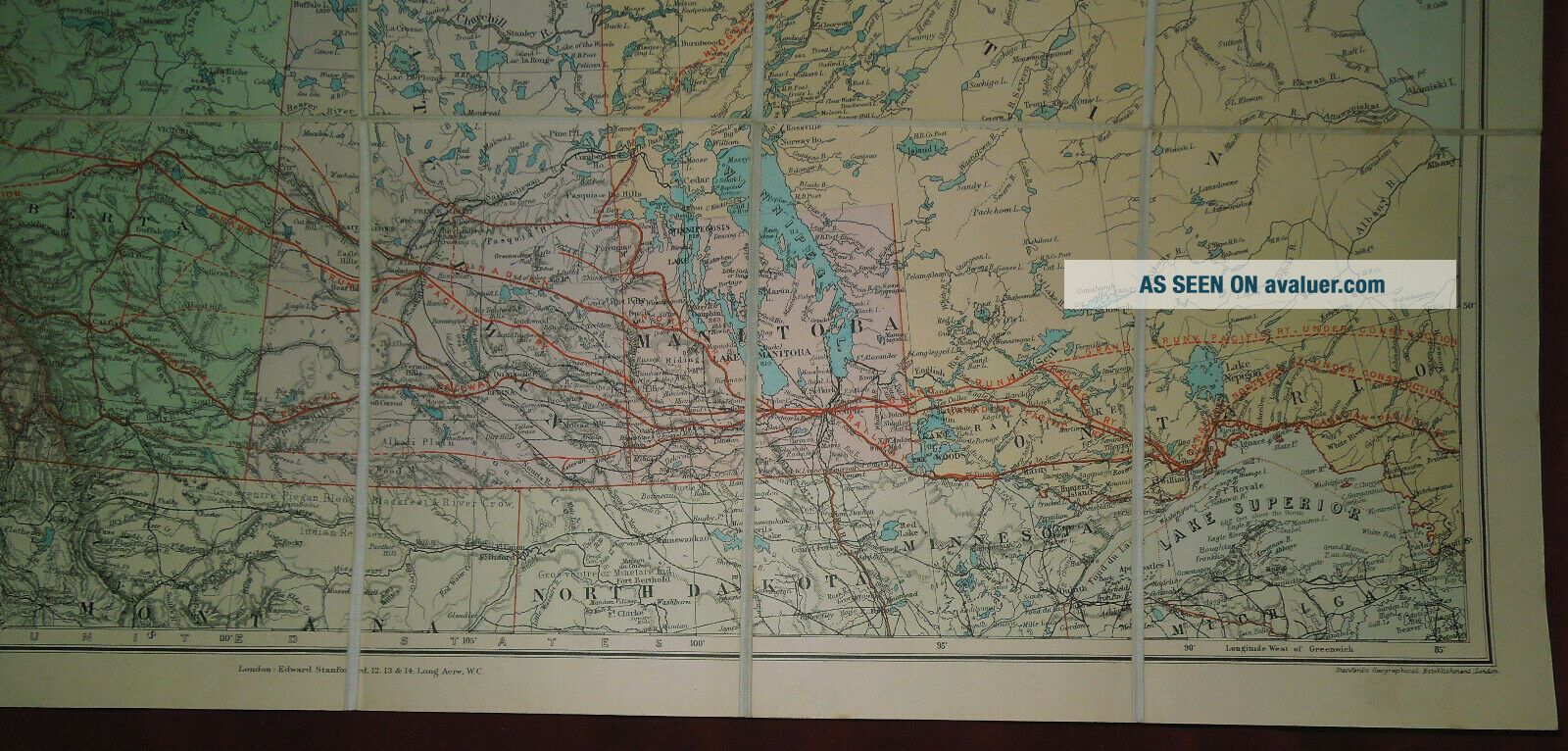
Edward Stanford 1:5, 274, 720 linen backed London Atlas map ofBritish Columbia, Manitoba & North West Territories, folded within clothboards, undated c. 1910.
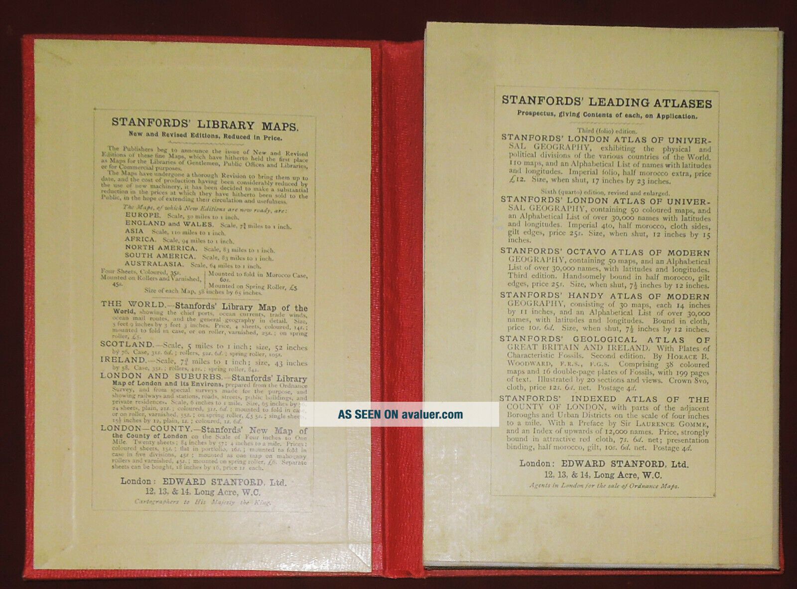
It is in generally very good condition with a littlemarking, mainly to the edges, a little browning to the linen back and the coverwith slight knocking. 400TBidding Information Overseas Buyers - Please notethat all prices are in UK Pounds Sterling, unless shown as converted to localcurrencyI try to accurately describe eac...h item, and photographs/scans form partof the description. Please contact me, preferably at least 24 hours before theend of the listing, if you require any further information, before bidding.
All Items are pre-owned Originals, unless otherwise stated, and may also haveminor imperfections not mentioned, commensurate with their age/use.
Postage and packing is shown separately for the U.K., Europe &Worldwide, but if not, please contact me for an estimate of the likely cost toyour address. Inclusive Postage Offers apply within the UK only, as shown on thelisting. Postage prices shown separately also include the e bay & Paypalpostage fees. All Payments must be through Paypal (NO e Cheques, please) Payment is due immediately, and must be completed within 3 days ? if you arelikely to be away, please contact me prior to the end of the auction. If buying multipleitems, please use the basket system & click for combined invoice torequest total, beforechecking out. All items are normally sent as soon as possible, and within 4 working days, following receipt ofcleared funds, and packed suitably to withstand the normal rigours of thepostal system.Items up to 2kg are sent through the Post Office, unless otherwisestated and a Certificate of Posting is always obtained, which offers compensationup to £20, within the U.K., in the unlikely event of an item going astray.Insured & tracked p & p will be quoted at cost. Items, individually ortogether, weighing over 2kg are sent through a Courier, unless otherwisestated, automatically tracked and insured. Please contact me first if an item is not received within the stipulatedtime, so that the matter can addressed and be taken up with the Carrier.Overseas buyers are responsible for any Customs matters & importchargesThank you for reading this and goodluck with your bidding