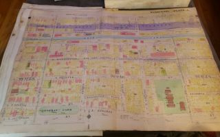
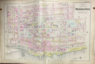
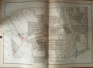
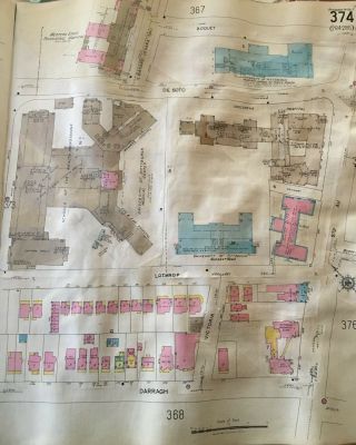
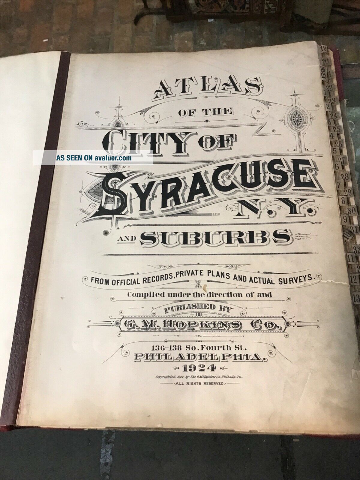
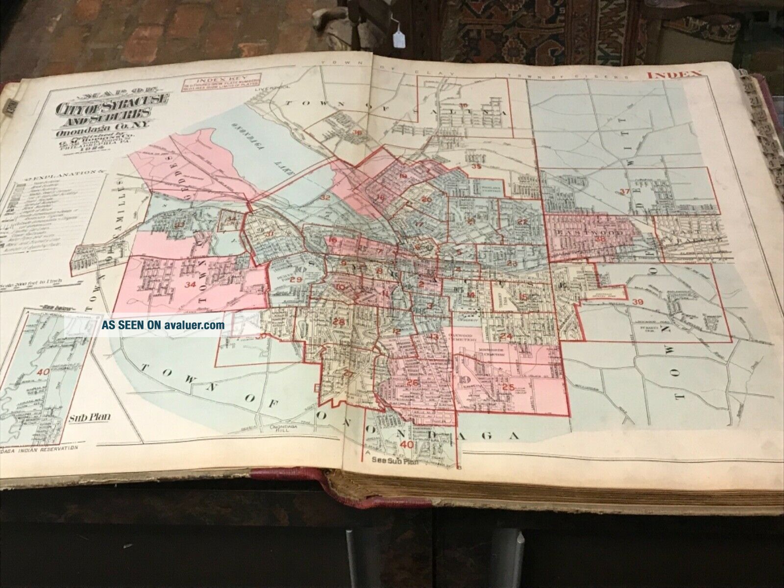
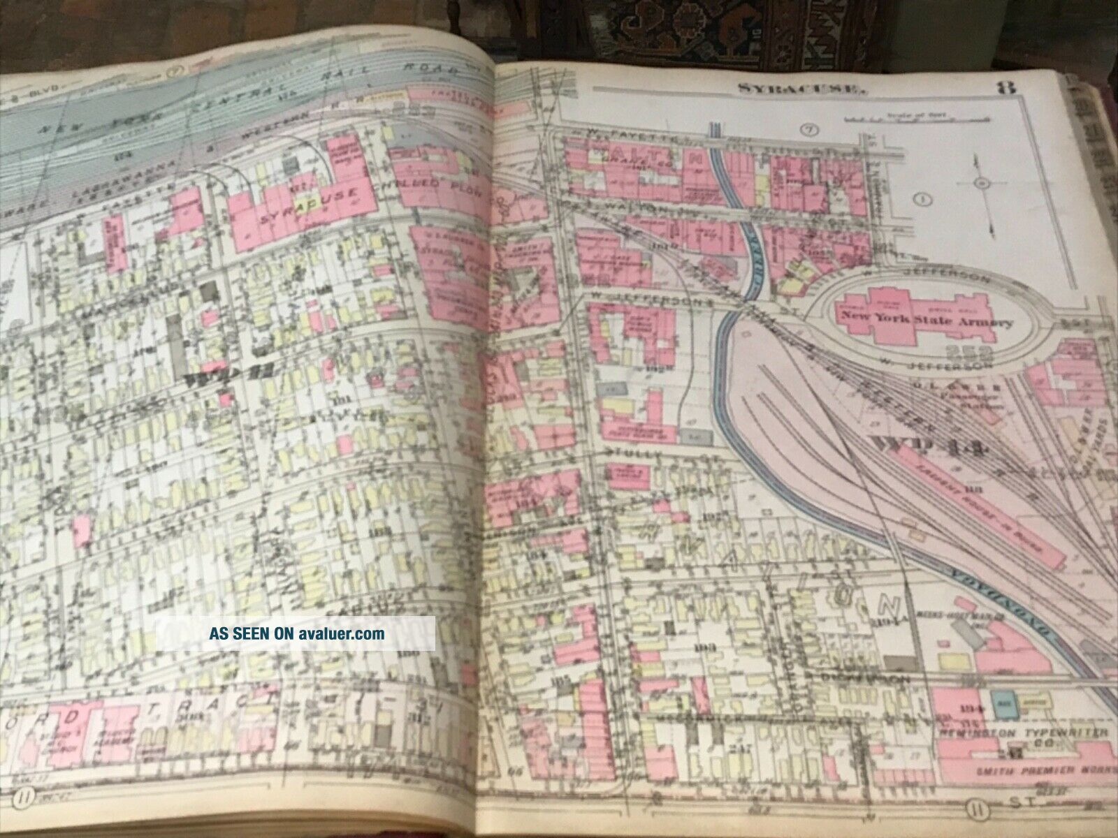
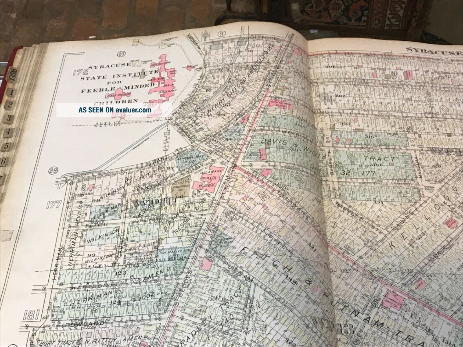
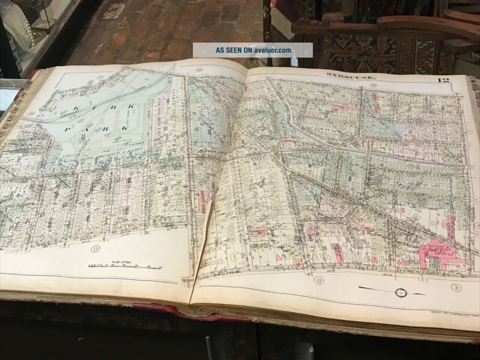
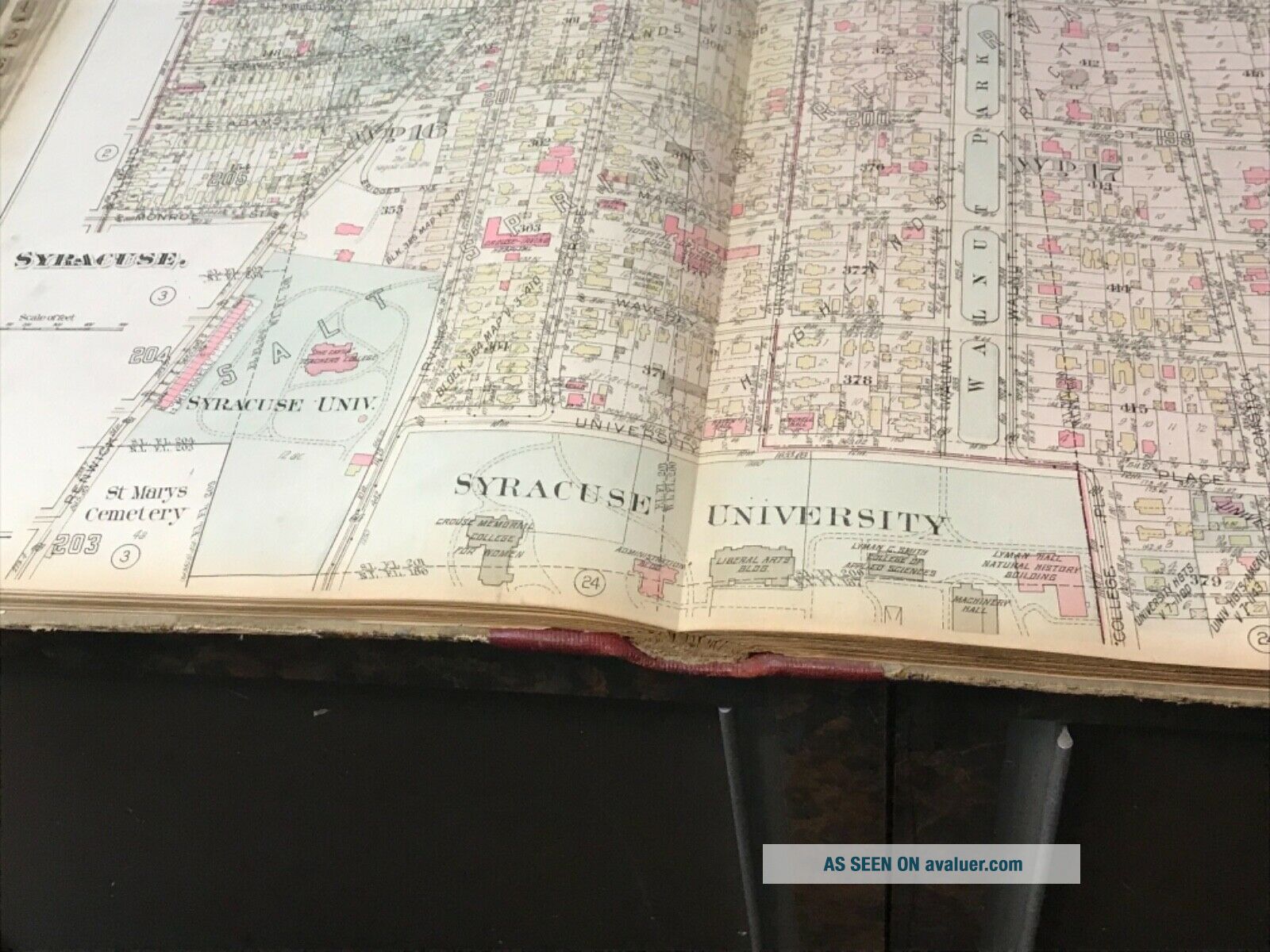
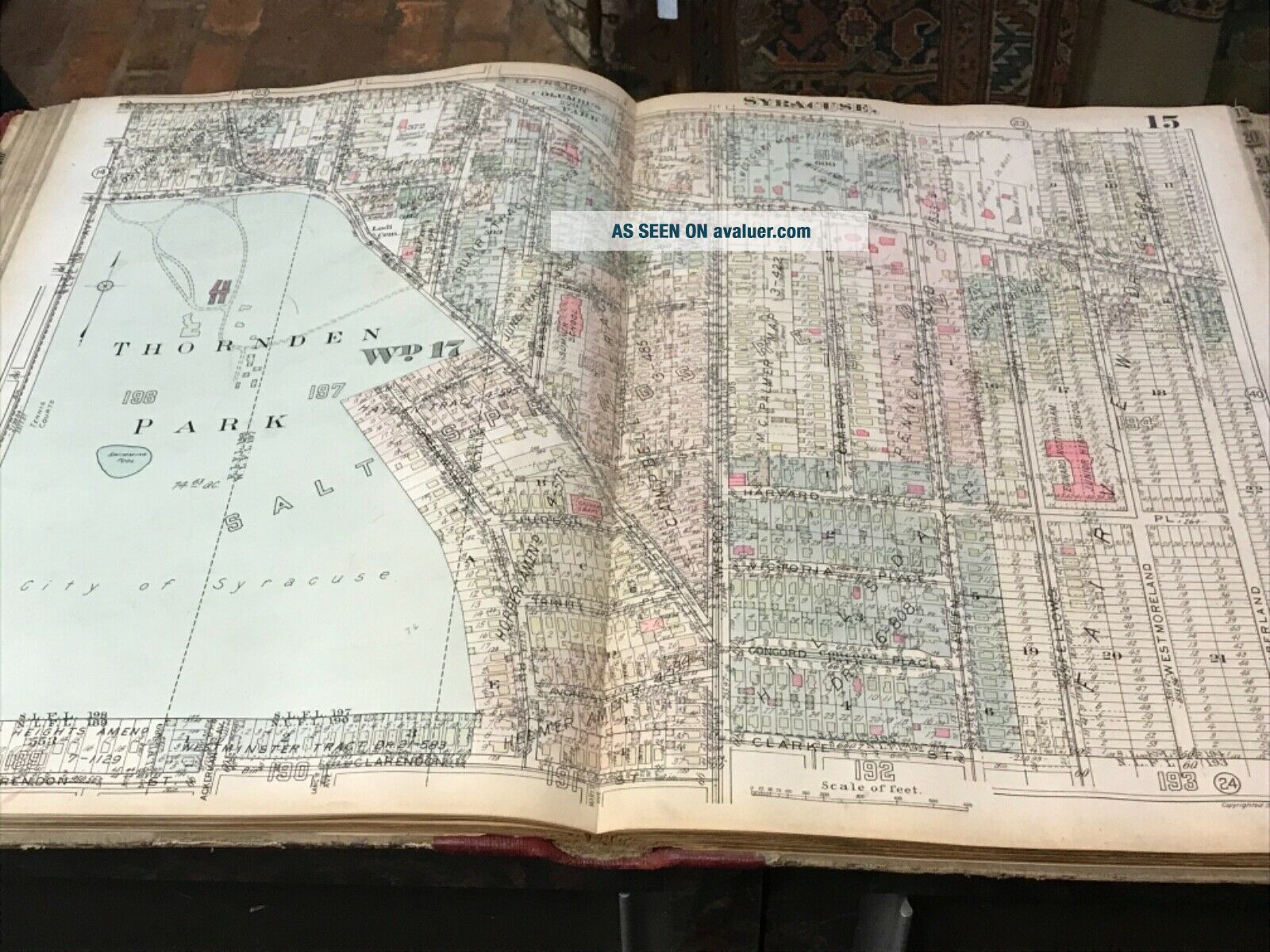
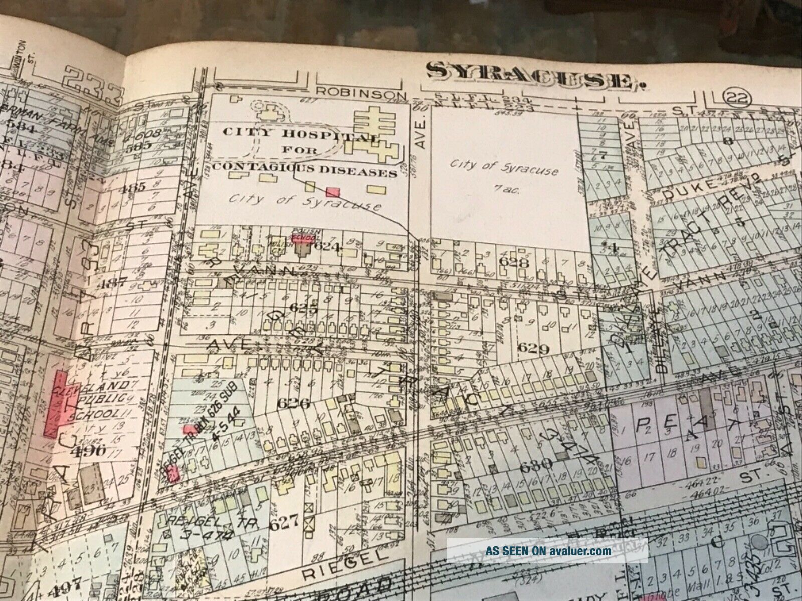
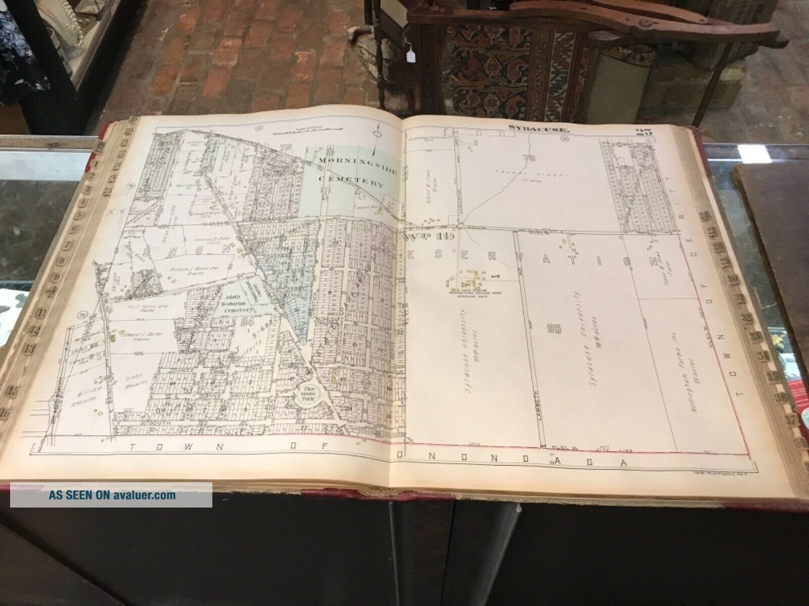
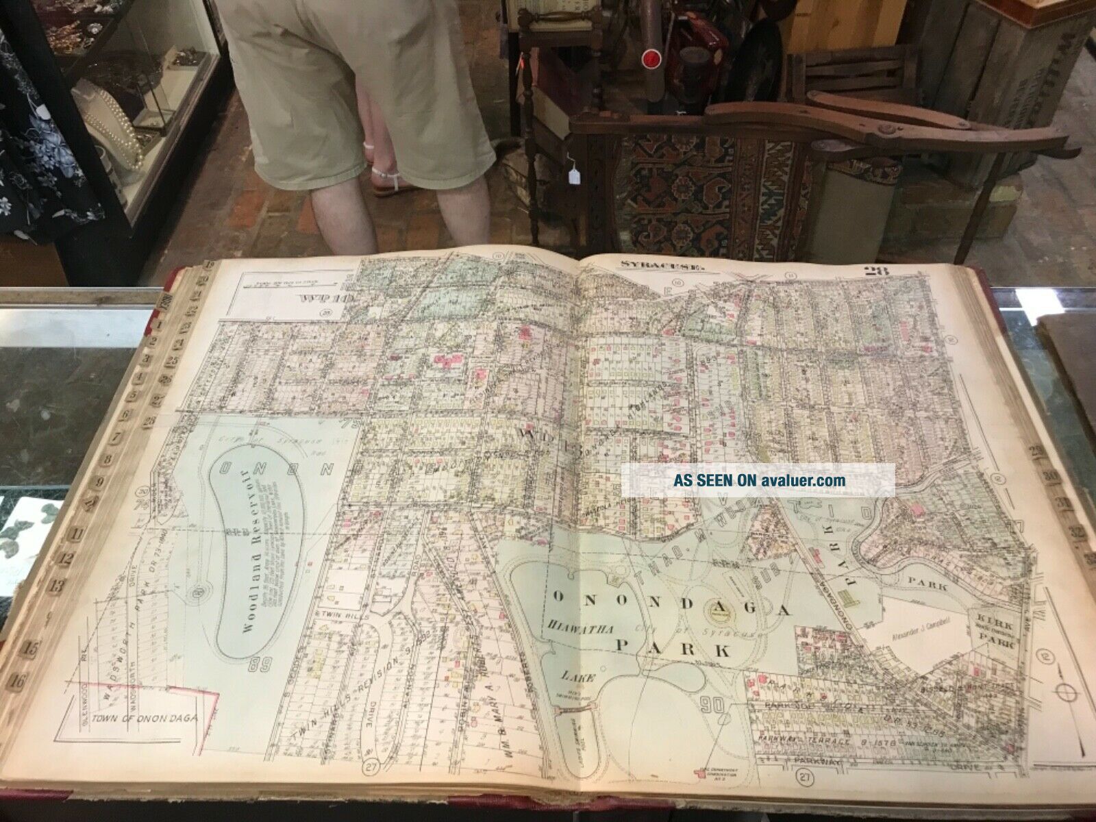
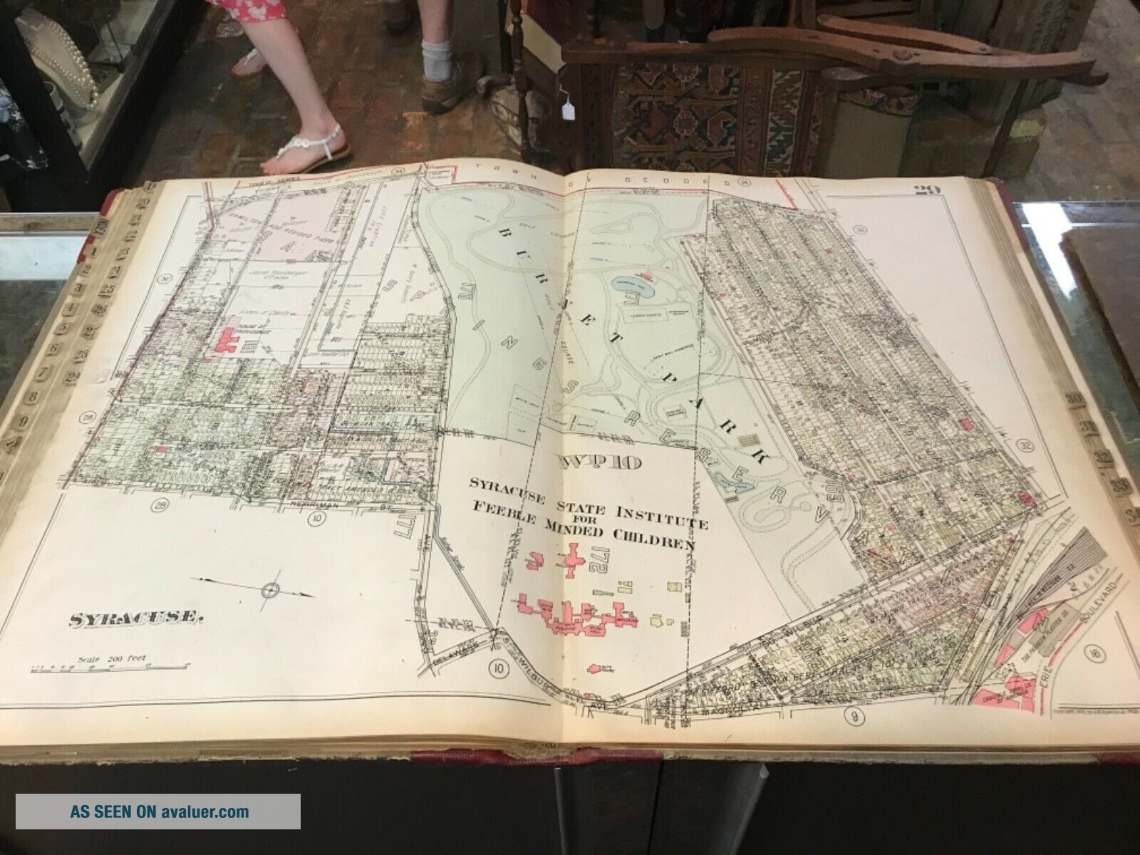
Syracuse & Suburbs Plat Atlas GM Hopkins1924.
Item History & Price
| Reference Number: Avaluer:11824 | Year: 1924 |
| Format: Atlas |
Syracuse & Suburbs Plat Atlas GM Hopkins1924. Atlas has wear appropriate to age and use. A couple of the plates have minor tears, if you have any questions or would like more pics, please ask as we are more than happy to oblige. Shipped with USPS Priority Mail.