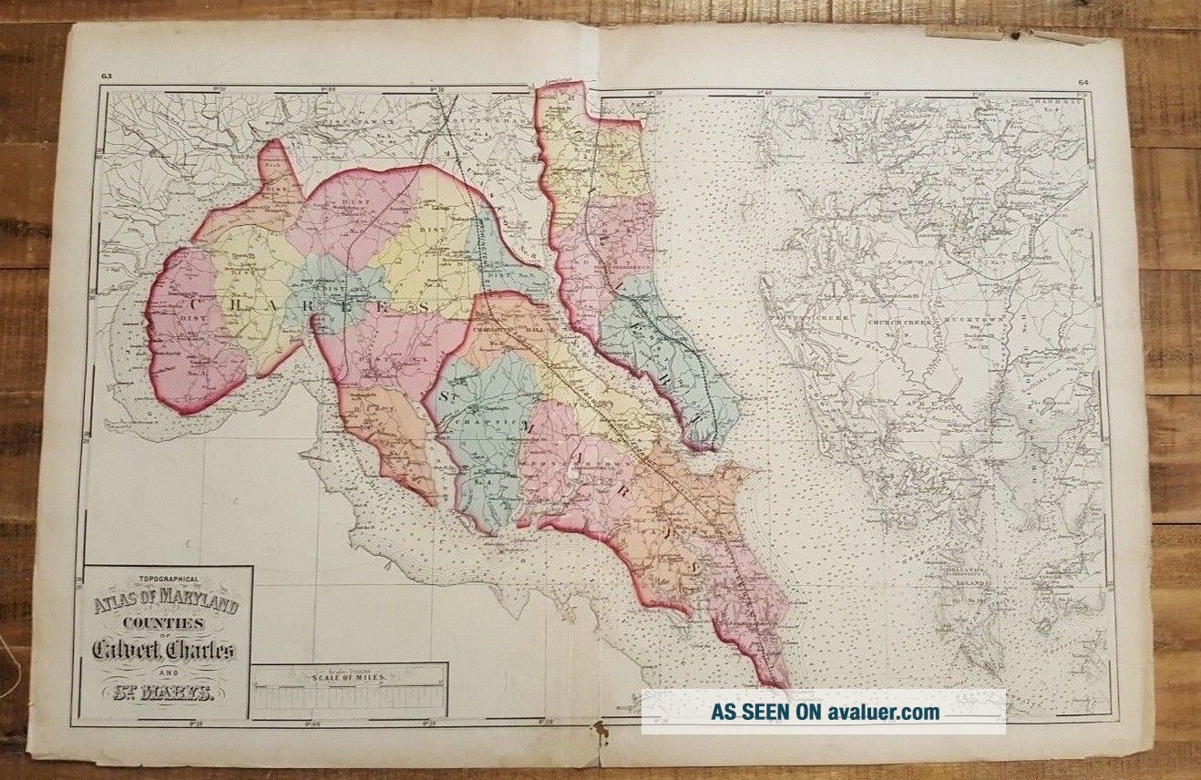
Antique MAP OF MD/Counties Of Calvert Charles & St. Mary ' S 1873 Topograph. Atlas
Item History & Price
| Reference Number: Avaluer:1231986 | Year: 1873 |
| US State: Maryland |
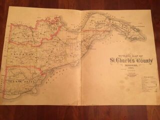
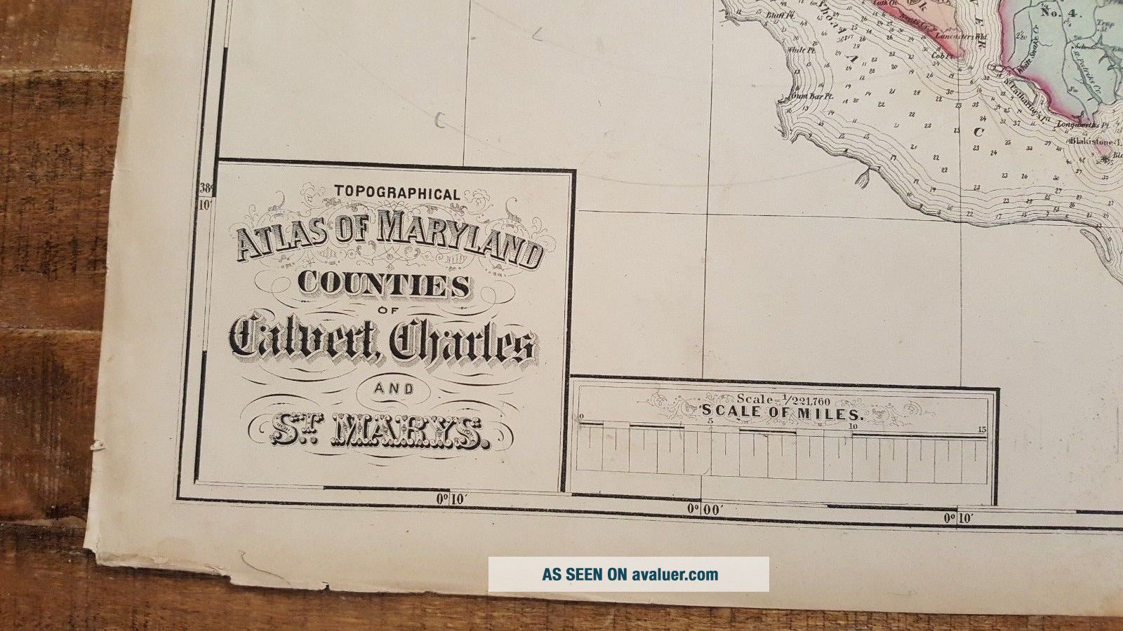
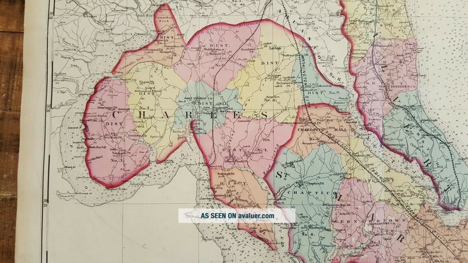
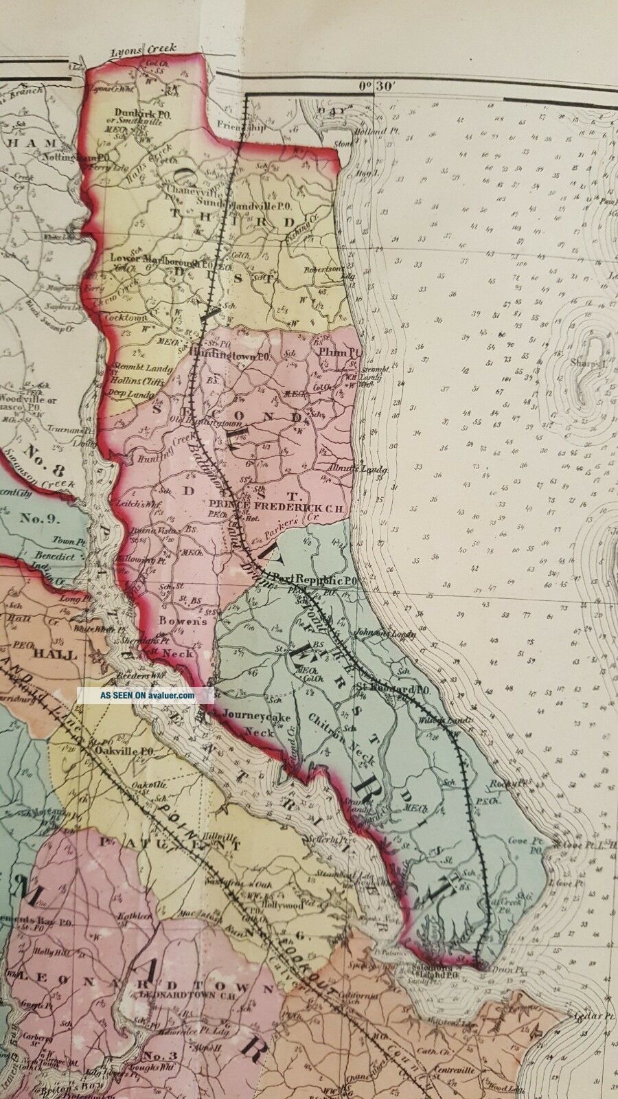
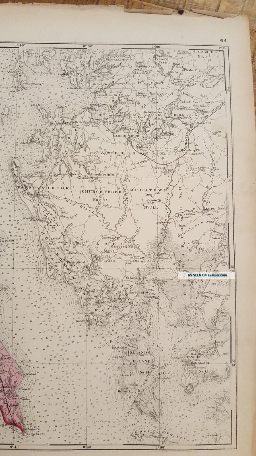
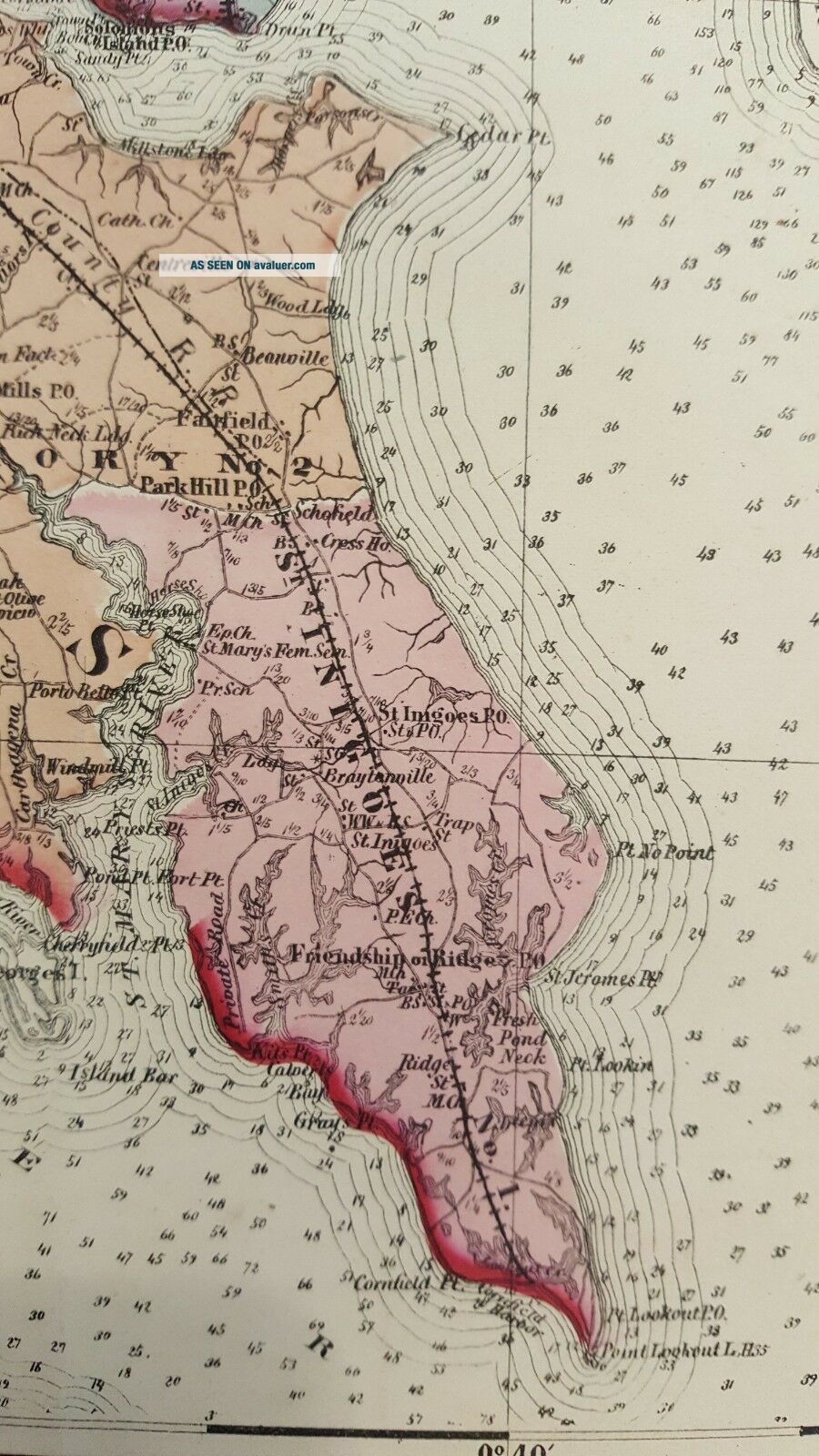
Up for sale is a great, colored antique MAP OF MARYLAND - COUNTIES OF CALVERT, CHARLES AND ST. MARYS - 1873.
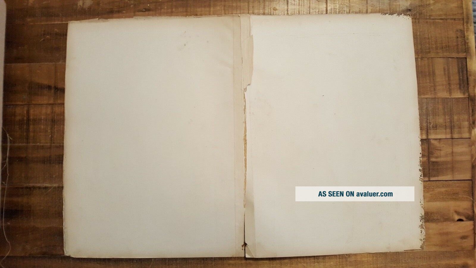
It is a very detailed map, measuring approximately 26 x 17 inches, including the border area. It is blank on the reverse side.
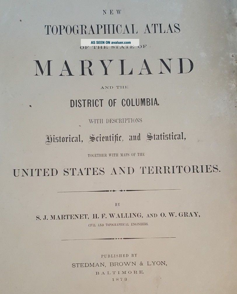
This map is from the "NEW TOPOGRAPHICAL ATLAS OF THE STATE OF MARYLAND WITH DESCRIPTIONS HISTORICAL, SCIENTIFIC, AND STATISTICAL, TOGETHER WITH MAPS OF THE UNITED STATES AND TERRITORIES". By S.J. Martenet, H.F. Walling, and O....W. Gray, Civil & Topographical Engineers. Published by Stedman, Brown & Lyon, Baltimore - 1873.
Maps this early and showing this much detail are a great piece of history! The map has fantastic coloring to it. There is a crease up the middle of the map from where it was bound and where the map folds. Map is generally in Good condition. Some age related browning and toning and some spotting and stains. The map has some tears and chips around the edges, but they do not affect the map, as well as some other stains here and there. Some other dings here and there. There are chips in the four corners. Damp stain in the middle of the upper border. Some pencil marks. Tear at the bottom border of the fold that extends about 6 inches up the fold (see photos).
This map would be a great addition to any collection and will look very nice when framed!
Please note that while I have included a picture of the Title Page of the Atlas that this map was taken from, it is NOT included in the sale, as it is a reference piece to determine authenticity for the other maps. I would be happy to include a copy if requested.
Please see my store for other great items.
00229
It is a very detailed map, measuring approximately 26 x 17 inches, including the border area. It is blank on the reverse side.
This map is from the "NEW TOPOGRAPHICAL ATLAS OF THE STATE OF MARYLAND WITH DESCRIPTIONS HISTORICAL, SCIENTIFIC, AND STATISTICAL, TOGETHER WITH MAPS OF THE UNITED STATES AND TERRITORIES". By S.J. Martenet, H.F. Walling, and O....W. Gray, Civil & Topographical Engineers. Published by Stedman, Brown & Lyon, Baltimore - 1873.
Maps this early and showing this much detail are a great piece of history! The map has fantastic coloring to it. There is a crease up the middle of the map from where it was bound and where the map folds. Map is generally in Good condition. Some age related browning and toning and some spotting and stains. The map has some tears and chips around the edges, but they do not affect the map, as well as some other stains here and there. Some other dings here and there. There are chips in the four corners. Damp stain in the middle of the upper border. Some pencil marks. Tear at the bottom border of the fold that extends about 6 inches up the fold (see photos).
This map would be a great addition to any collection and will look very nice when framed!
Please note that while I have included a picture of the Title Page of the Atlas that this map was taken from, it is NOT included in the sale, as it is a reference piece to determine authenticity for the other maps. I would be happy to include a copy if requested.
Please see my store for other great items.
00229