1856 Map OHIO Colton ' S Atlas


Item History & Price
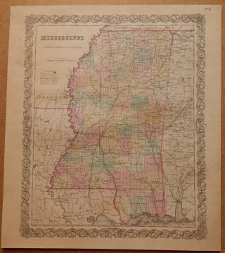
This is an ORIGINAL old map of "Ohio"
It is dated 1855 along the bottom edge, though it is from an 1856 atlas.
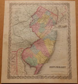
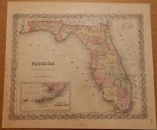
This map, along with many others that I have for sale on eBay, came out of a Colton's Atlas of the World, published by J. H. Colton and Company in 1856. The dimensions of these maps measure approx. 14 by 11 inches between the neatlines, paper sizes vary somewhat but are generally around 17 by 14 inches.
The atlas these... came out of was in very rough shape, with some maps lost completely, so there are some condition issues - these maps have been priced accordingly. Many of them have pencil drawing/scribbling on the back sides, looks like from some child long ago. There is some staining/discoloration on many of the maps, please examine photos carefully. This one just has some minor staining.
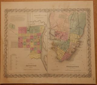
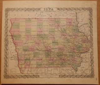
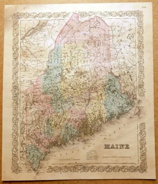
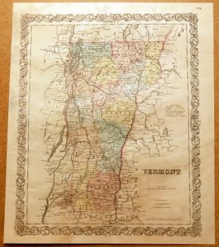
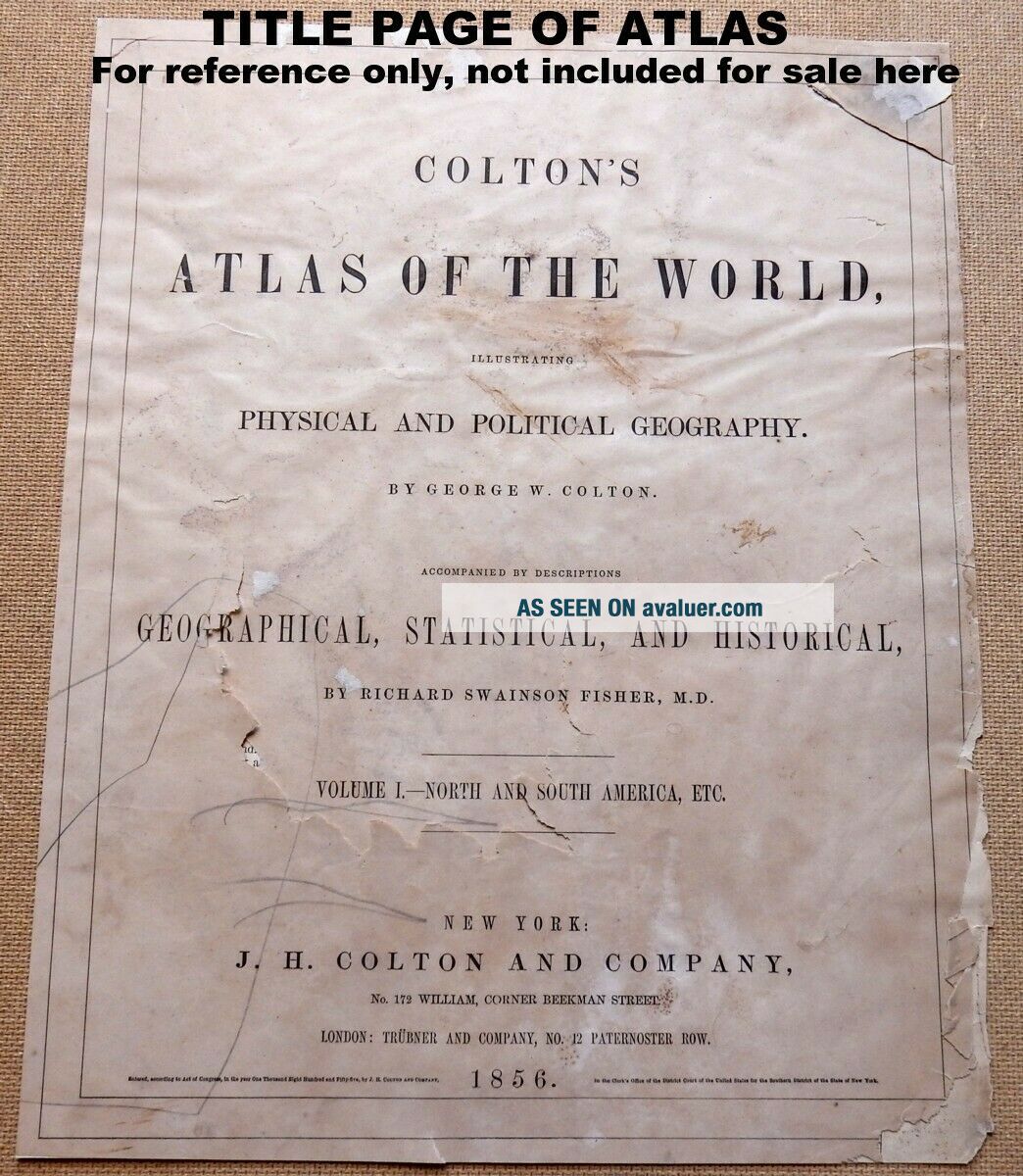
Shown in the photos is the entire map, along with a couple of details. Also included is a one page description of the map, on a separate sheet, with history, statistics, and all sorts of information on the area. NOTE: this page is torn into two pieces. The last photo shows the title page from the atlas, this is NOT included for sale here.
First Class shipping is FREE to U.S. addresses, Priority Mail also available at USPS cost. I am also offering discounts for multiple purchases - 10% off if you purchase 2 of my map listings, 15% off for 3, and 20% off for 4 or more. So if you are buying more than one map, please wait for my invoice before paying so that I can combine them for shipment, thanks!
It is dated 1855 along the bottom edge, though it is from an 1856 atlas.
This map, along with many others that I have for sale on eBay, came out of a Colton's Atlas of the World, published by J. H. Colton and Company in 1856. The dimensions of these maps measure approx. 14 by 11 inches between the neatlines, paper sizes vary somewhat but are generally around 17 by 14 inches.
The atlas these... came out of was in very rough shape, with some maps lost completely, so there are some condition issues - these maps have been priced accordingly. Many of them have pencil drawing/scribbling on the back sides, looks like from some child long ago. There is some staining/discoloration on many of the maps, please examine photos carefully. This one just has some minor staining.
Shown in the photos is the entire map, along with a couple of details. Also included is a one page description of the map, on a separate sheet, with history, statistics, and all sorts of information on the area. NOTE: this page is torn into two pieces. The last photo shows the title page from the atlas, this is NOT included for sale here.
First Class shipping is FREE to U.S. addresses, Priority Mail also available at USPS cost. I am also offering discounts for multiple purchases - 10% off if you purchase 2 of my map listings, 15% off for 3, and 20% off for 4 or more. So if you are buying more than one map, please wait for my invoice before paying so that I can combine them for shipment, thanks!