11 1856 Maps From Colton ' S Atlas


Item History & Price
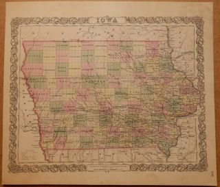
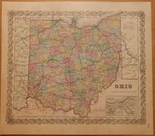
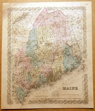
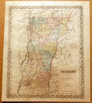
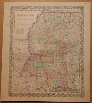
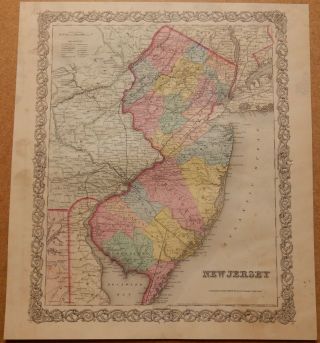
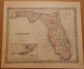
This listing is for 11 ORIGINAL old maps from an 1856 atlas:
California, Conn., Louisiana, Illinois, Missouri, New York, Penn., Louisville/New Orleans, Savannah/Charleston, Pittsburgh/Cincinnati, St. Louis/Chicago.
These maps, along with many others that I have for sale on eBay, came out of a Colton's Atlas of the World, published by J. H. Colton and Company in 1856. The dimensions of these maps measure approx. 14 by 11 inches between the neatlines, paper siz...es vary somewhat but are generally around 17 by 14 inches.
The atlas these came out of was in very rough shape, with some maps lost completely, so there are some condition issues - these maps have been priced accordingly. Many of them have pencil drawing/scribbling on the back sides, looks like from some child long ago. There is some staining/discoloration on many of the maps, please examine photos carefully.
Shown in the photos is an example of one of the maps. The last photo shows the title page from the atlas, this is NOT included for sale here.
Priority Mail shipping is FREE to U.S. addresses.