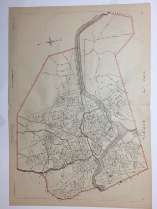
1891 Map City Of Lawrence Merrimack Mass MA Old Massachusetts Vintage


Item History & Price

Information:
Reference Number: Avaluer:1239160Original/Reproduction: Original
Topic: AtlasesFormat: Atlas Map
Year: 1891Type: City Map
Publication Year: 1891
Original Description:
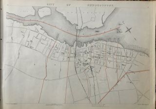
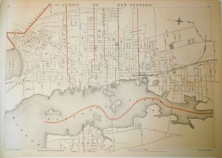
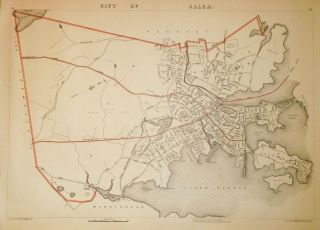
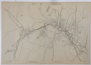
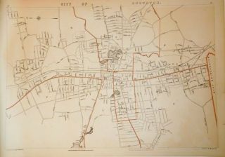
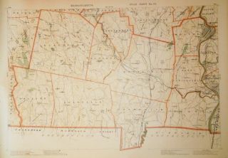
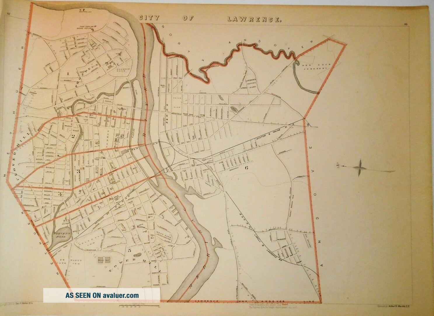
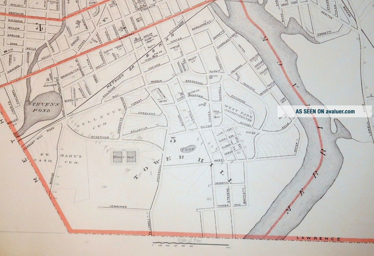
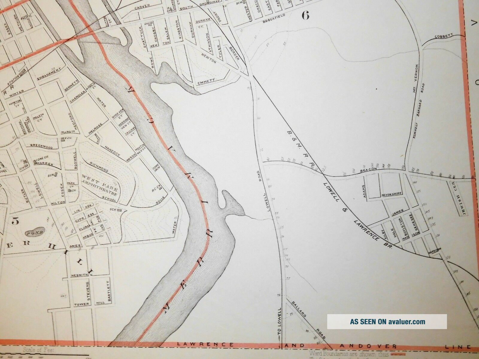
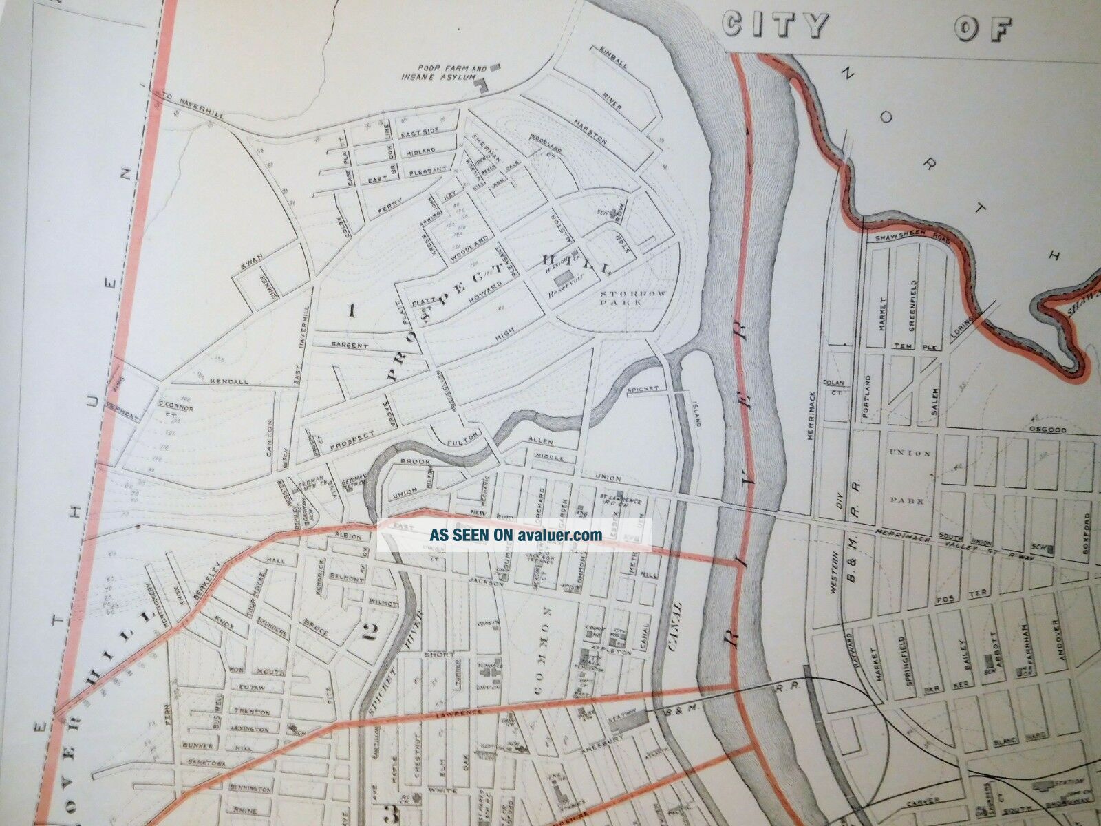
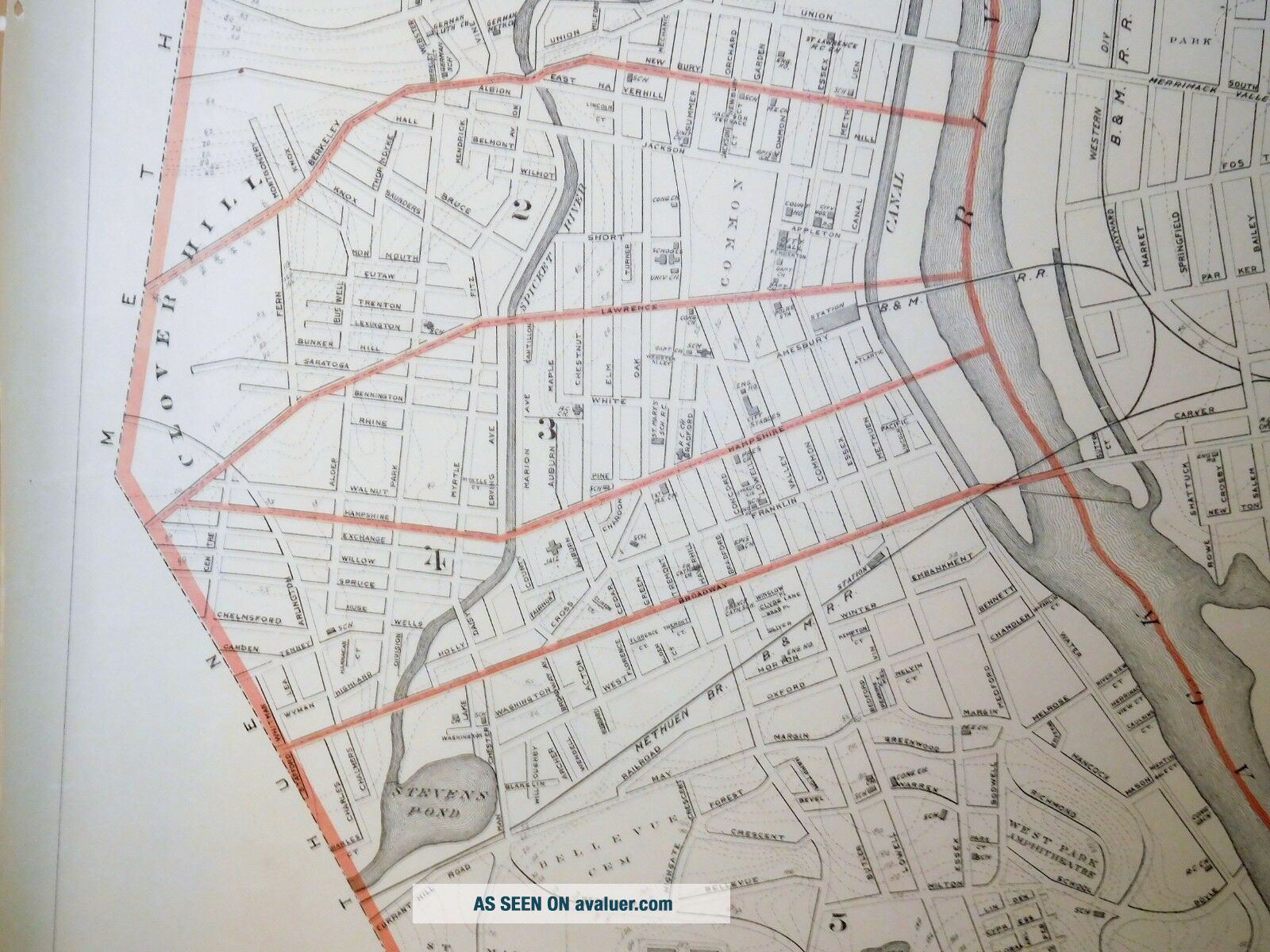
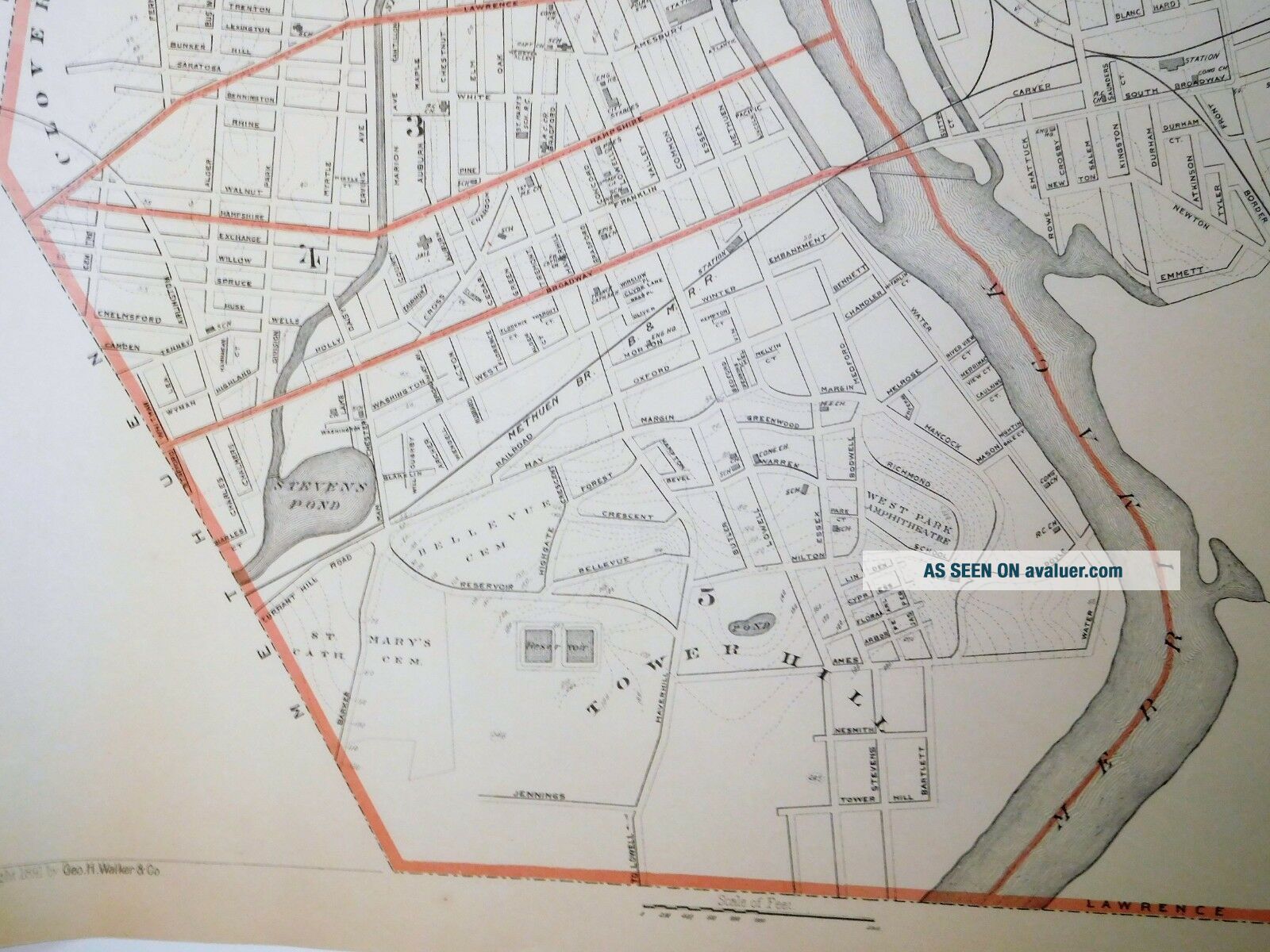
Original 1891 Map of the City of Lawrence.It is from the Atlas of Massachusetts by Geo. H. Walker Publisher.
This is not a reproduction.Points of Interest include Tower Hill, Prospect Hill, Clover Hill and the Poor Farm & Insane Asylum. Interesting map showing rivers, bodies of water, railways, roads, wards, schools, cemeteries and houses of worship.The map is clean and in excellent condition with no folds as it was part of a rolled up Atlas. There are 4 round ho...les in the left margin where it was attached to the Atlas. These would not be visible when the map is framed.
It measures 28" x 19.5". It will be shipped rolled up.Please see other maps in our Ebay store.
We have many more maps not listed - Please request any city or town. 

00104


    Similar items


  • 1891 Map City Of Newburyport,  Merrimack River Mass Ma Massachusetts Old

    1891 Map City Of Newburyport, Merrimack River Mass Ma Massachusetts Old

  • 1891 Map City Of Bedford Mass Old Nr Vintage Ma Massachusetts

    1891 Map City Of Bedford Mass Old Nr Vintage Ma Massachusetts

  • 1891 Map City Of Lowell Mass Ma Atlas Plate Massachusetts

    1891 Map City Of Lowell Mass Ma Atlas Plate Massachusetts

  • 1891 Map City Of Salem Winter Island Salem Neck Kernwood Mass Ma Old

    1891 Map City Of Salem Winter Island Salem Neck Kernwood Mass Ma Old

  • 1891 Map City Of Fitchburg Mass,  Ma Old Nashua River

    1891 Map City Of Fitchburg Mass, Ma Old Nashua River

  • 1891 Map City Of Brockton Mass Old Nr Vintage Massachusetts Ma

    1891 Map City Of Brockton Mass Old Nr Vintage Massachusetts Ma

  • Rare Antique G.  W.  Bromley & Co 1891 City Of South Boston Mass Atlas 33 Plates

    Rare Antique G. W. Bromley & Co 1891 City Of South Boston Mass Atlas 33 Plates

  • 1891 Map Of Towns Of Hampden Cty Mass Ma,  Old Agawam West Springfield

    1891 Map Of Towns Of Hampden Cty Mass Ma, Old Agawam West Springfield


    • You might also like


    • 1860 Mitchell Hand Colored Map Colorado,  Nebraska & Kansas - Civil War Era

      1860 Mitchell Hand Colored Map Colorado, Nebraska & Kansas - Civil War Era

    • 18th Century French Map Of North America

      18th Century French Map Of North America

    • Las Vegas Nevada Vintage 1967 Us Geological Survey Quadrangle Map 4 Panels

      Las Vegas Nevada Vintage 1967 Us Geological Survey Quadrangle Map 4 Panels

    • Rare Antique 1845 Maps United States Exploring Expedition Book Antartica Hawaii

      Rare Antique 1845 Maps United States Exploring Expedition Book Antartica Hawaii

    • Vintage 1926 Map Hollywood From The Best Surveys Of The Time

      Vintage 1926 Map Hollywood From The Best Surveys Of The Time

    • American Continent (western Hemisphere) 1747 Bowen Antique Copper Engraved Map

      American Continent (western Hemisphere) 1747 Bowen Antique Copper Engraved Map

    • Gulf Coast Florida Texas United States 1705 De Fer Unusual Antique Engraved Map

      Gulf Coast Florida Texas United States 1705 De Fer Unusual Antique Engraved Map

    • California As Island United States 1700 De Fer Unusual First Edition Antique Map

      California As Island United States 1700 De Fer Unusual First Edition Antique Map

Avaluer          About Us          Privacy Policy          Contact Us          UP
© 2022, avaluer.net, Inc. or its affiliates