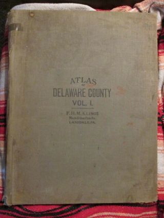
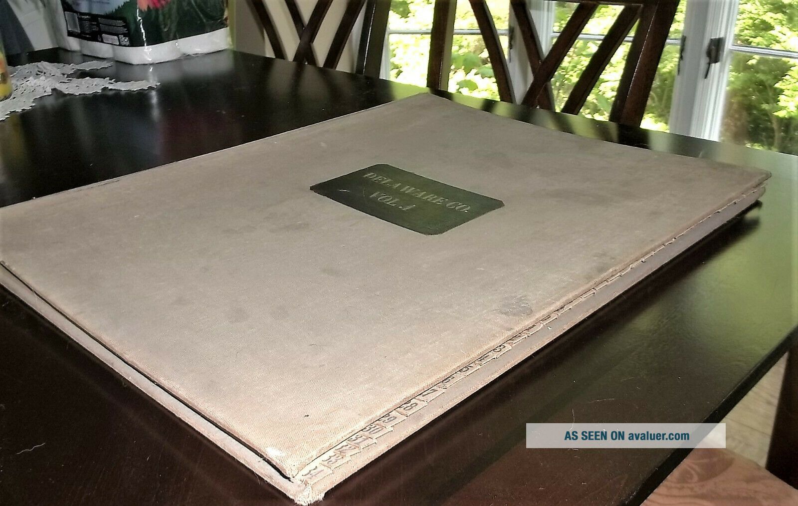
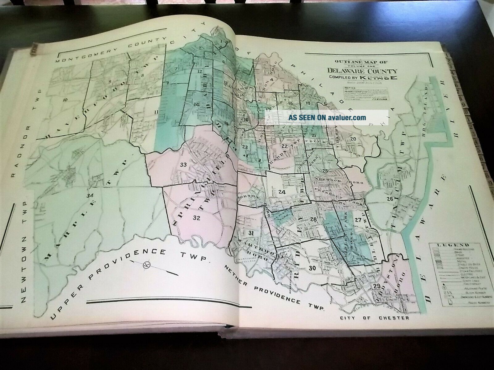
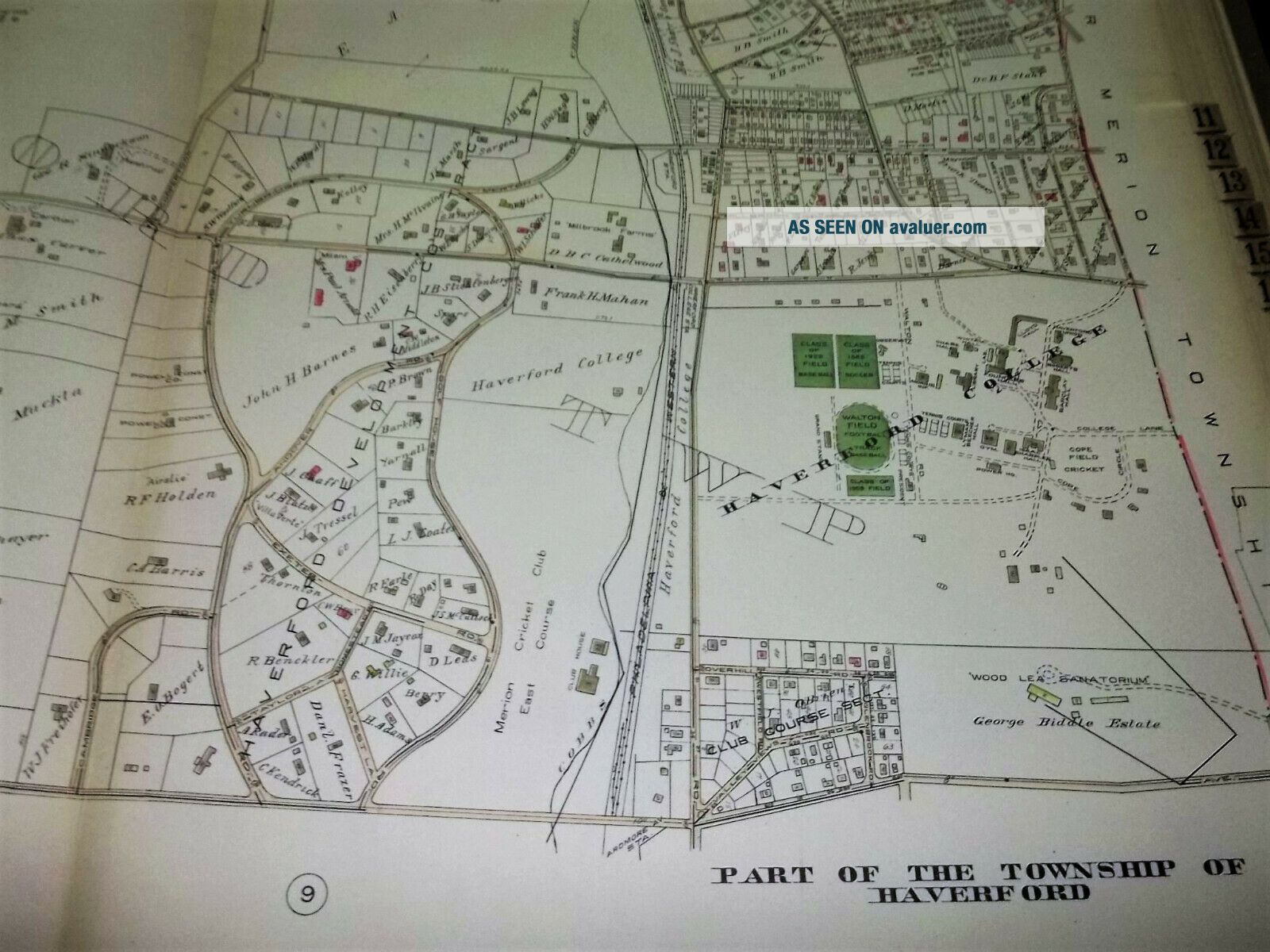
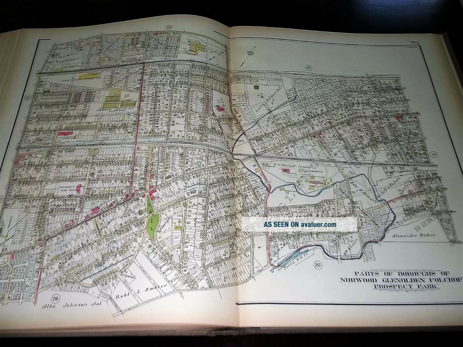
Atlas Of Delaware County, PA, Volume 1, 1929, Frank H. M. Klinge


Item History & Price

Information:
Reference Number: Avaluer:12447Format: Atlas
US State: PAType: Atlas
City: Delaware County, PAYear: 1919
Original Description:

Atlas of Delaware County, PA, Volume 1, 1929, Frank H. M. Klinge, Lansdale PA

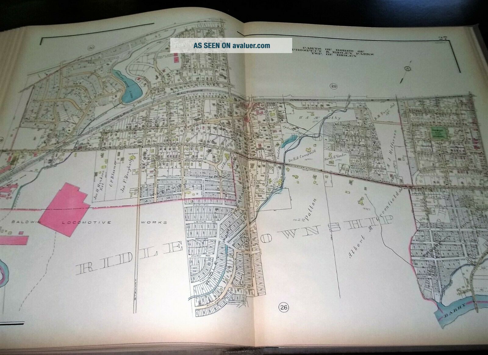
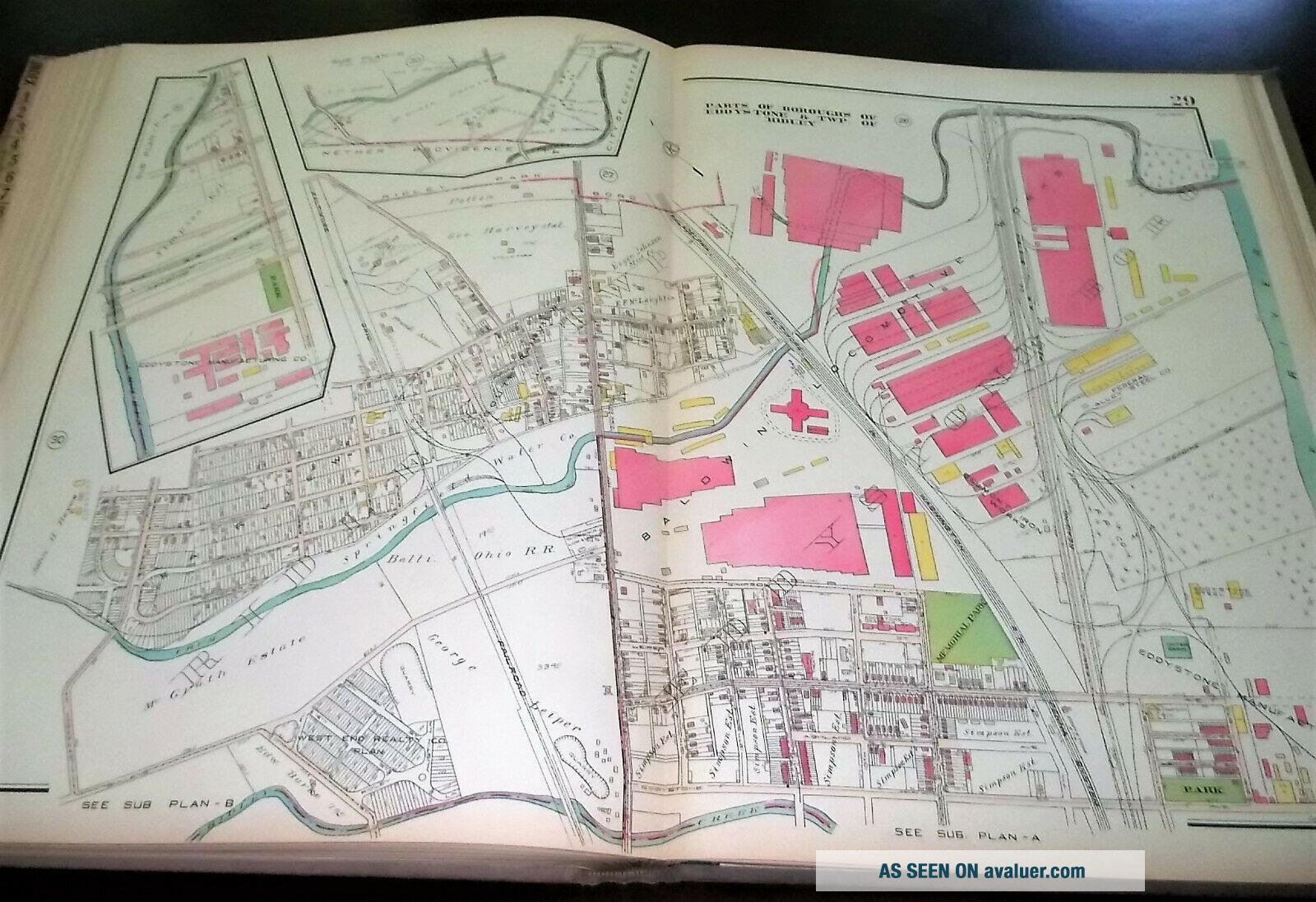
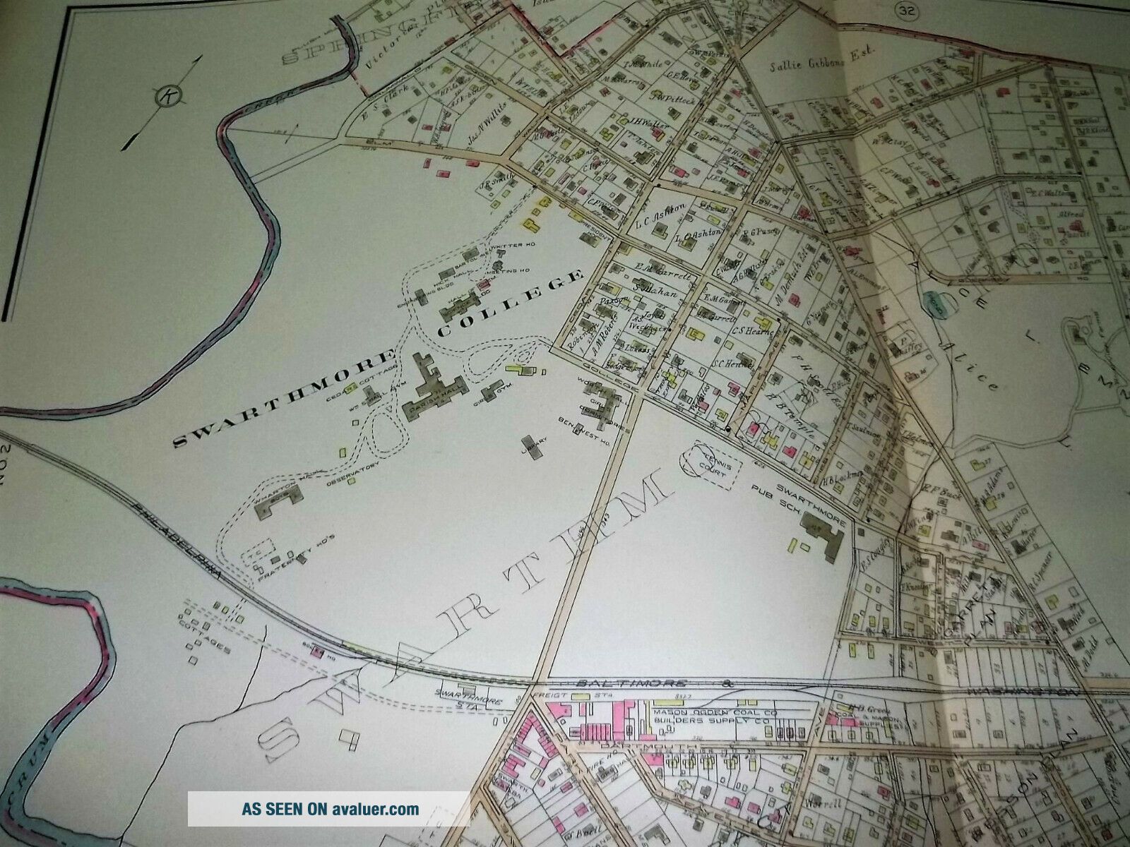
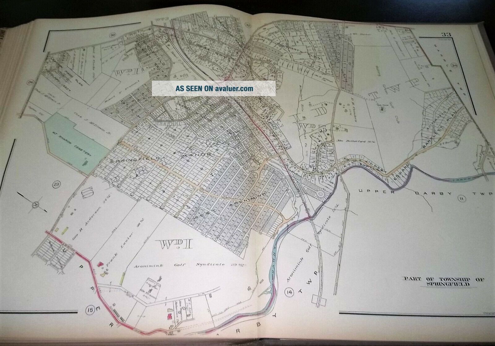
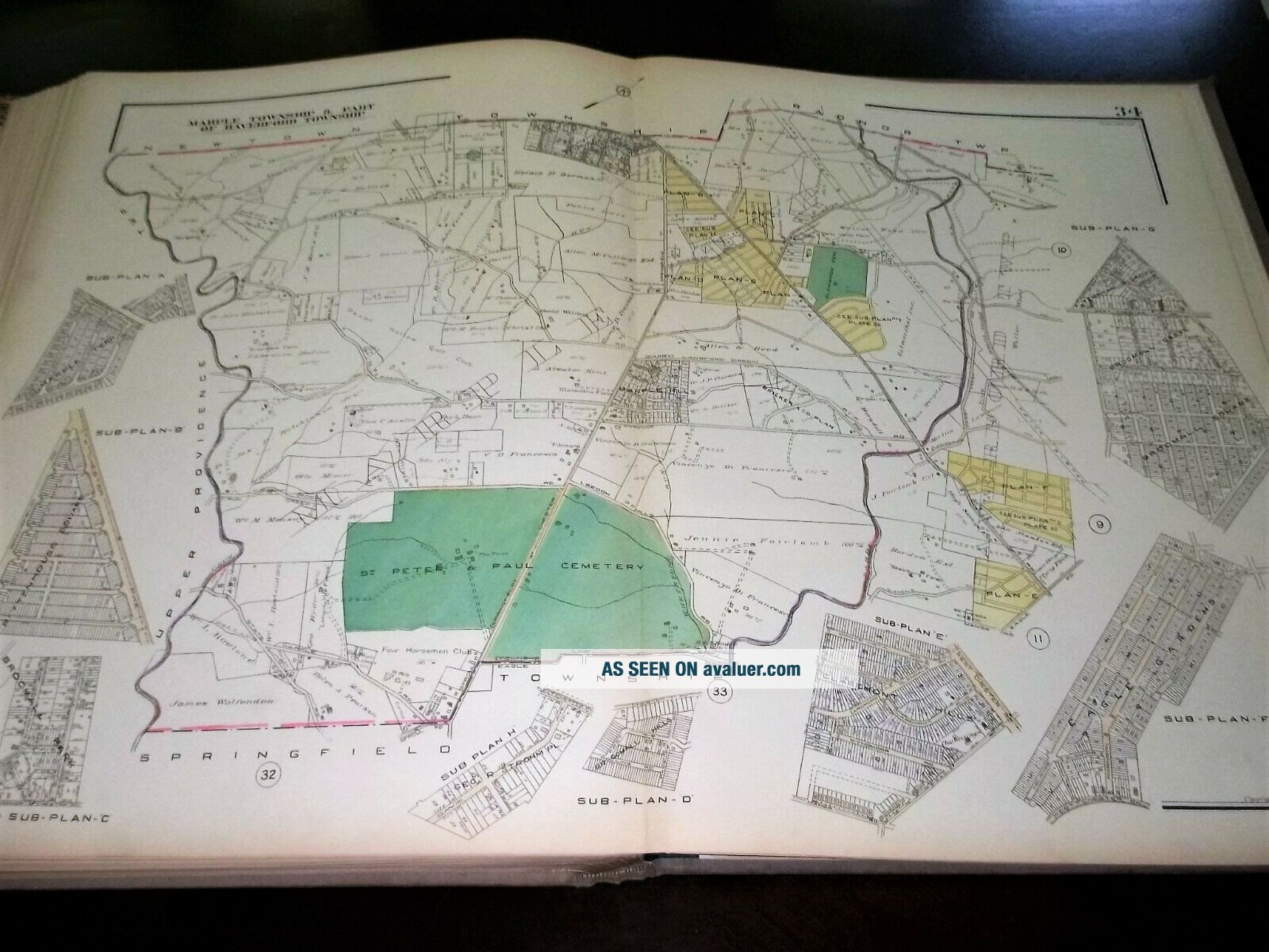
Boroughs of Aldan, Clifton Heights, Collingdale, Colwyn, Darby, Lansdowne, Eddystone, Folcroft, Glenolden, Milbourne, Morton, Norwood, Prospect Park, Ridley Park, Rutledge, Sharon Hill, Swarthmore and Yeadon. Townships of Upper Darby, Haverford, Springfield, Marple, Ridley, Tinicum and Darby.

34 double page maps.
Very Good to excellent condition with clean maps and tight binding. Cover ...soil.

$15 Postage.

Any sales tax auto applied by EBAY will be a 50/50 split. Please request an invoice and I will discount/credit half of the tax before you make your payment.


    Similar items


  • Property Atlas Of Delaware County Pa West Of Crum Creek 1934

    Property Atlas Of Delaware County Pa West Of Crum Creek 1934

  • G.  M.  Hopkins 1876 Atlas Of Allegheny County Pa –

    G. M. Hopkins 1876 Atlas Of Allegheny County Pa –

  • Beautifully Detailed 1876 Atlas Of York County Pa - Pomeroy,  Whitman & Co.

    Beautifully Detailed 1876 Atlas Of York County Pa - Pomeroy, Whitman & Co.

  • Rare 1876 Historical Atlas Of Lehigh County,  Pa - Illustrated - Reading Publishi

    Rare 1876 Historical Atlas Of Lehigh County, Pa - Illustrated - Reading Publishi

  • Historical Atlas Of Lancaster County,  Pa,  Illustrated,  L H Everts,  1875

    Historical Atlas Of Lancaster County, Pa, Illustrated, L H Everts, 1875

  • (4) Atlas Of Delaware County Vol.  1 Pennsylvania

    (4) Atlas Of Delaware County Vol. 1 Pennsylvania

  • 1864 Bridgens Atlas Of Lancaster County Pa Maps Lititz Pa Complete

    1864 Bridgens Atlas Of Lancaster County Pa Maps Lititz Pa Complete

  • Atlas Of Wayne County,  Pa 1873 & Illustrated Wayne 1902

    Atlas Of Wayne County, Pa 1873 & Illustrated Wayne 1902


    • You might also like


    • 1860 Mitchell Hand Colored Map Colorado,  Nebraska & Kansas - Civil War Era

      1860 Mitchell Hand Colored Map Colorado, Nebraska & Kansas - Civil War Era

    • 18th Century French Map Of North America

      18th Century French Map Of North America

    • Las Vegas Nevada Vintage 1967 Us Geological Survey Quadrangle Map 4 Panels

      Las Vegas Nevada Vintage 1967 Us Geological Survey Quadrangle Map 4 Panels

    • Rare Antique 1845 Maps United States Exploring Expedition Book Antartica Hawaii

      Rare Antique 1845 Maps United States Exploring Expedition Book Antartica Hawaii

    • Vintage 1926 Map Hollywood From The Best Surveys Of The Time

      Vintage 1926 Map Hollywood From The Best Surveys Of The Time

    • American Continent (western Hemisphere) 1747 Bowen Antique Copper Engraved Map

      American Continent (western Hemisphere) 1747 Bowen Antique Copper Engraved Map

    • Gulf Coast Florida Texas United States 1705 De Fer Unusual Antique Engraved Map

      Gulf Coast Florida Texas United States 1705 De Fer Unusual Antique Engraved Map

    • California As Island United States 1700 De Fer Unusual First Edition Antique Map

      California As Island United States 1700 De Fer Unusual First Edition Antique Map

Avaluer          About Us          Privacy Policy          Contact Us          UP
© 2022, avaluer.net, Inc. or its affiliates