FRYEBURG Quad Topo Map 1911/1922 Maine Bridgton Sweden Lovell Saco River Kezar L

Item History & Price
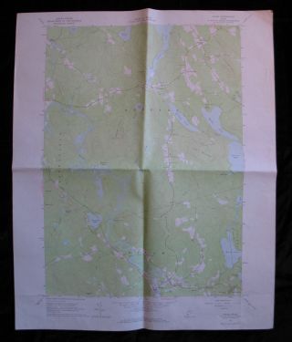
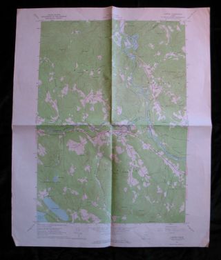
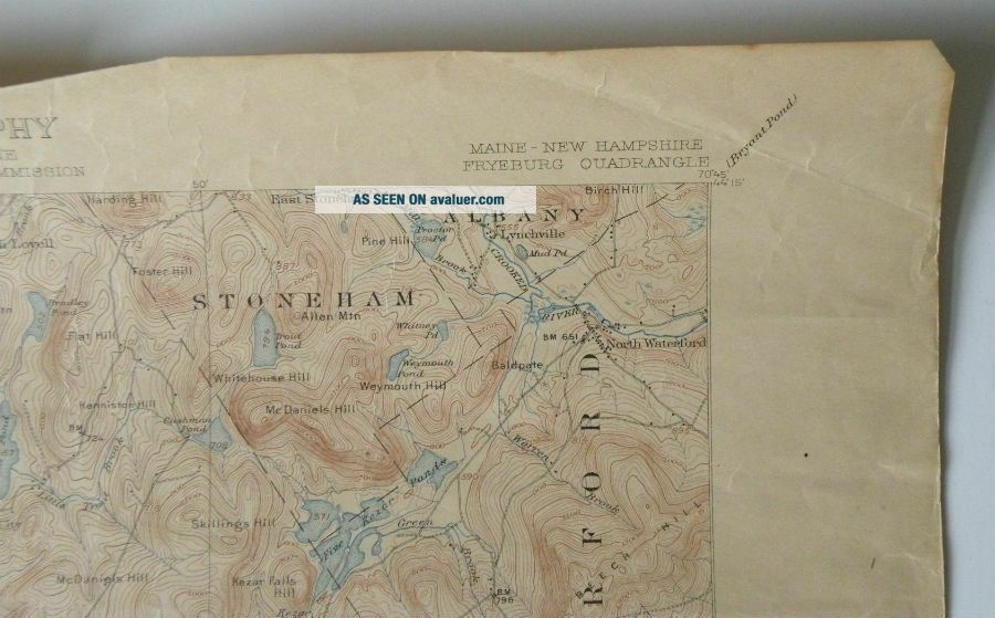
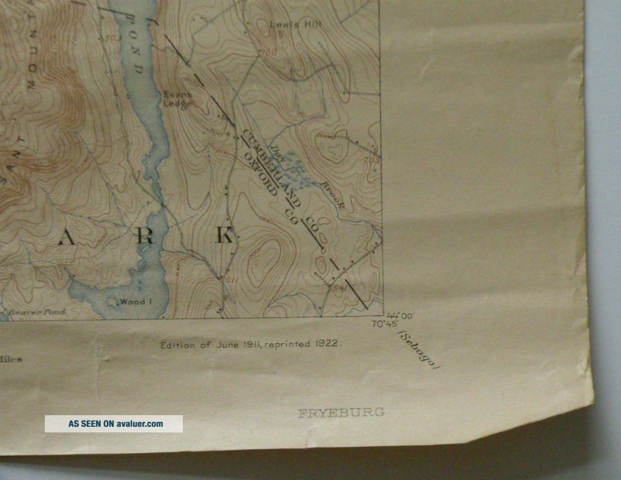
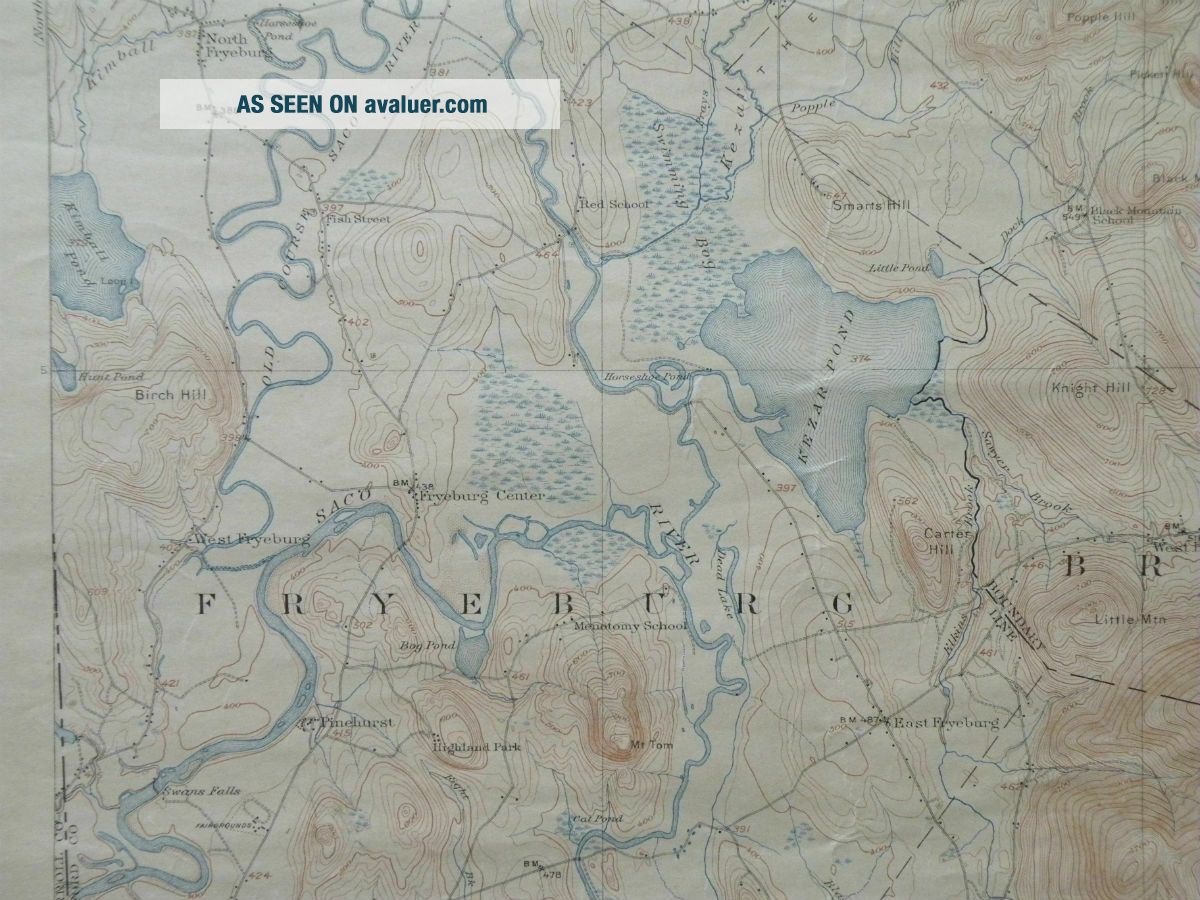
Fryeburg Quadrangle
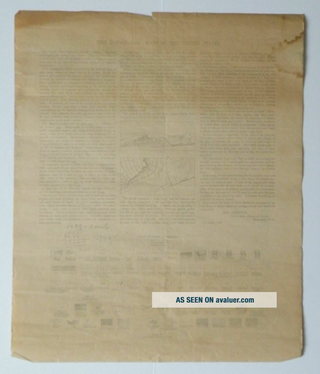
Topographic Map 15-Minute Series This 15-minute topo map of the Fryeburg quadrangle in Maine and New Hampshire is from the U. S. Geological Survey. The back has a description of the topographic maps along with a legend of conventional signs. Title: FRYEBURG Maine ...- New Hampshire
Coverage: 44º 00' to 44º 15' latitude, 70º 45' to 71º 00' longitude Edition: June 1911
Reprint Date:
1922
Survey Date: 1909 Size: 16.5 x 20 inches Scale: 1:62, 500 Contour Interval: 20 feet Towns/Cities: all or part of: Stow, Stoneham, Albany, Waterford, Lovell, Sweden, Bridgton, Denmark, Fryeburg, Maine.
Other Features: Saco River, Old Course Saco River, Kezar Lake, Kezar Pond, Moose Pond, Lovewell Pond, Highland Lake, Kimball Pond, Pleasant Mountain, Sabattus Mtn., Deer Hill, Mt. Tom, Jockey Cap.
Condition: Poor, stain in upper left, creased/wrinkles across the map, edge tears, scuffs on bottom left corner. Some writing on the back.
Shipping & Handling is FREE by USPS First Class Mail in the US. Please use the Shipping Calculator to determine the S&H charge to all International addresses. I will gladly discount shipping for multiple auction winners if it is possible to pack the items together. THANK YOU FOR LOOKING!
00023