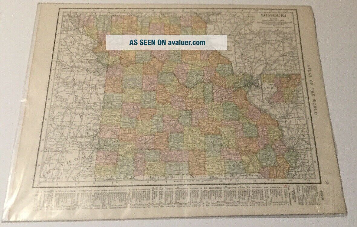
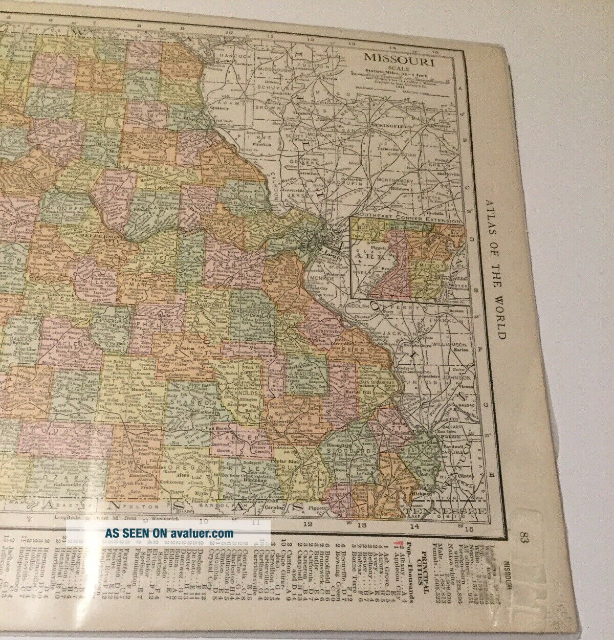
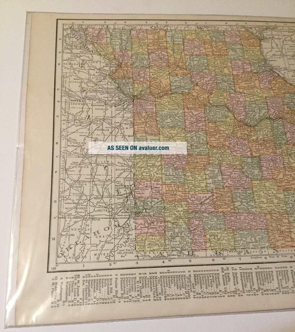
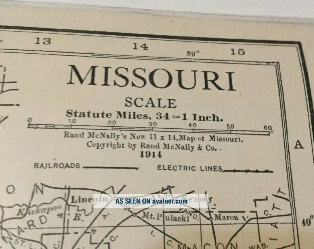
1914 Atlas Of The World Map Of Missouri
Item History & Price
| Reference Number: Avaluer:1245901 | Format: Atlas |
| US State: Missouri |

| Reference Number: Avaluer:1245901 | Format: Atlas |
| US State: Missouri |
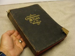
1914 Antique Hammond ' S Comprehensive Atlas Of The World Maps Leather Old Color
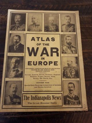
1914 Atlas Of The War In Europe, World ' S Most Gigantic Conflict. The Indy News
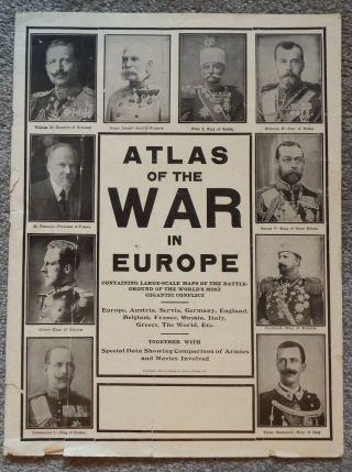
1914 Atlas Of The War In Europe George F Cram, Chicago & 1914 Newspaper Clipping
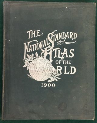
1900 National Standard Family & Business Atlas Of The World; Maps, 1890 Census
1892 Popular Atlas Of The World Maps Of The Us Post Office Telegraph Offices,
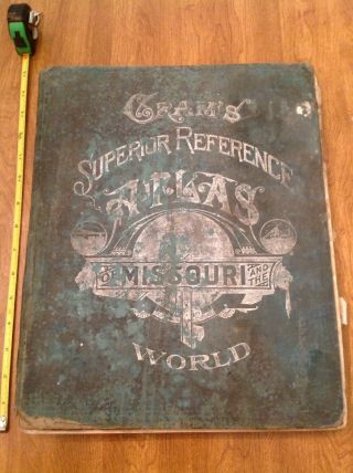
Gram ' S Superior Reference Atlas Of Missouri & The World - 1908 - Huge Reference Book

Vintage 1963 Large National Geographic Atlas Of The World Maps Book
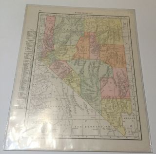
1915 Rand Mcnally Atlas Of The World Map Of Nevada

1860 Mitchell Hand Colored Map Colorado, Nebraska & Kansas - Civil War Era

18th Century French Map Of North America

Las Vegas Nevada Vintage 1967 Us Geological Survey Quadrangle Map 4 Panels

Rare Antique 1845 Maps United States Exploring Expedition Book Antartica Hawaii

Vintage 1926 Map Hollywood From The Best Surveys Of The Time

American Continent (western Hemisphere) 1747 Bowen Antique Copper Engraved Map

Gulf Coast Florida Texas United States 1705 De Fer Unusual Antique Engraved Map

California As Island United States 1700 De Fer Unusual First Edition Antique Map