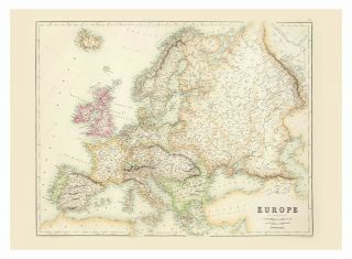
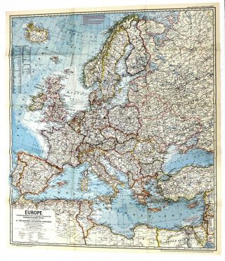
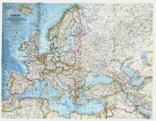
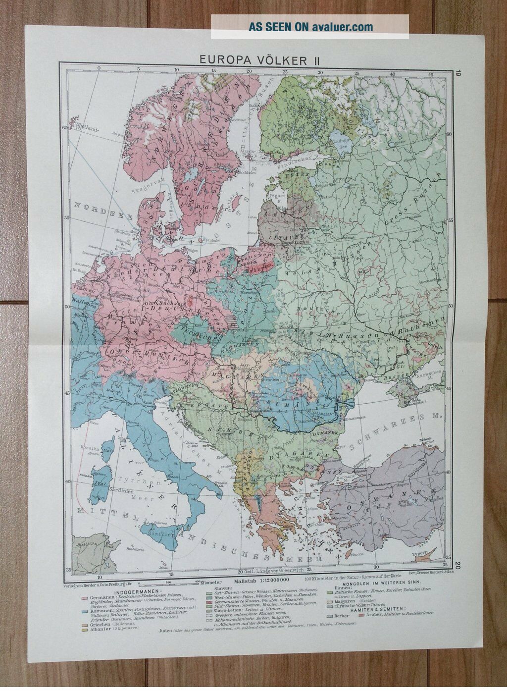
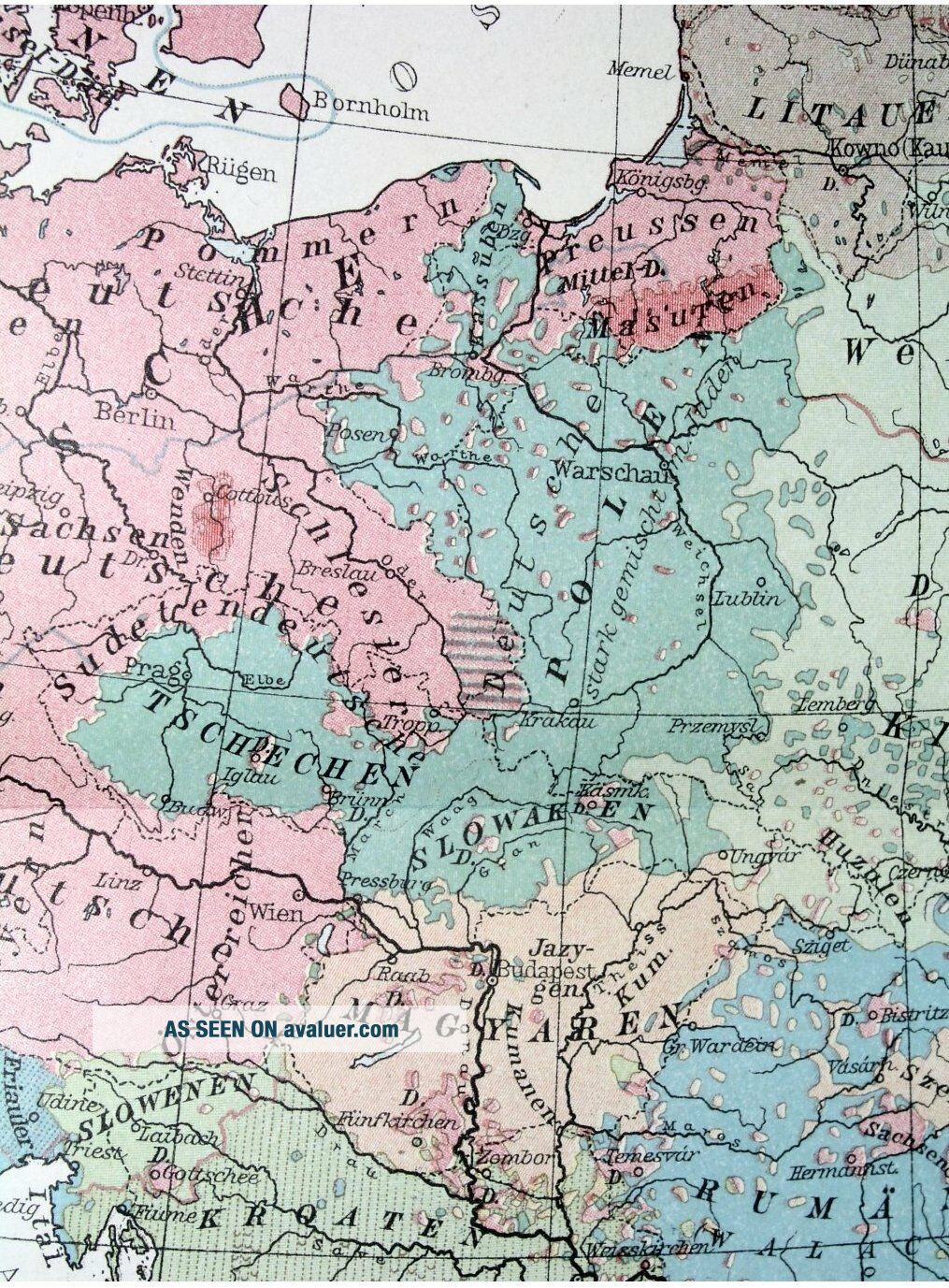
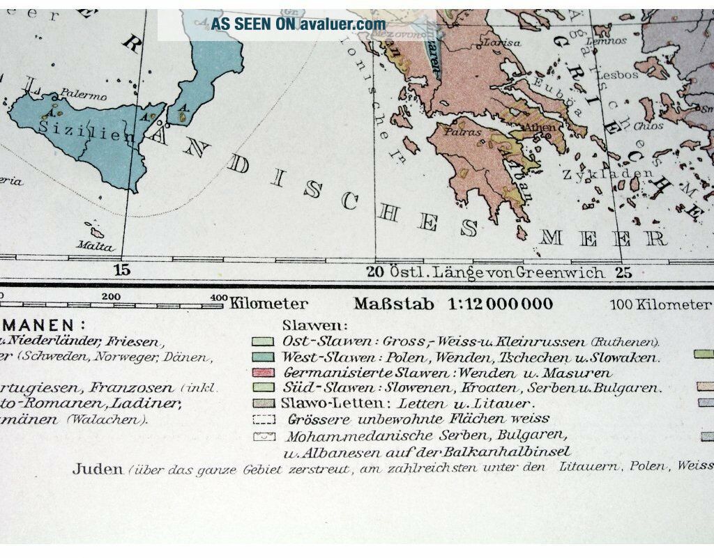
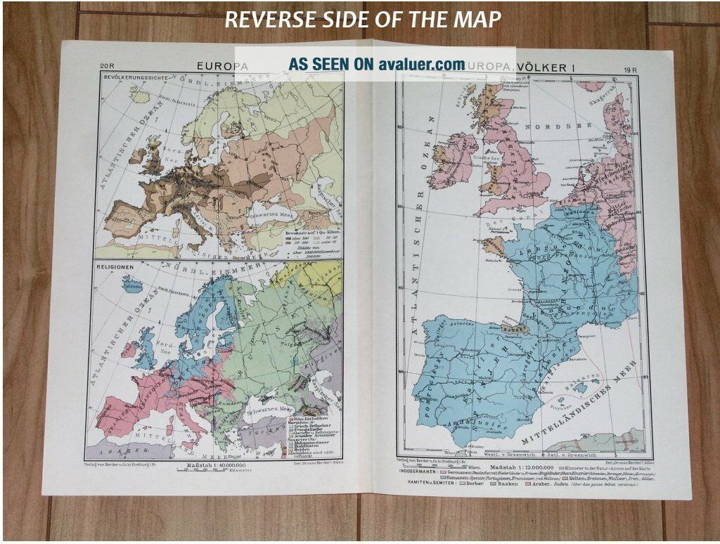
1932 VINTAGE ETHNIC MAP OF EUROPE NATIONS GERMANY POLAND RUSSIA ITALY
Item History & Price
| Reference Number: Avaluer:1248363 | Region: Germany |
| Original/Reproduction: Original | Topic: Maps |
| Type: Map | Maker: Herder |
| Year: 1932 | Publication Year: 1932 |
| Country/Region: Germany | Subgenre: Italy |
| State: EUROPE |
ORIGIN OF THE MAP: "Herders Welt -und Wirtschaftsatlas", published in Freiburg im Breisgau, Germany by Herder & Co. GmbH Verlagsbuchhandlung.
DATE OF ISSUE: 1932.
SIZE: The sheet measures: 13 1/2" x 10" (34 x 25 cm).
Most of maps we sell come from ancient atlases that were damaged and beyond repair. The maps have often a canvas or paper binding tape mounted on back along the centerfold. If you have ANY PROBLEM with the purchase, it is essential you CONTACT US... BEFORE LEAVING FEEDBACK TO GIVE US THE CHANCE TO RESOLVE IT.
SHIPPED FROM CANADA in secure tubes or bubble mailers. PLEASE NOTE, THAT THE SHIPPING FROM QUEBEC TO THE U.S. TAKES 10 DAYS / WORLD 18 DAYS.
We combine shipping costs for multiple items. The HIGHEST VALUE SHIPPING FEE WILL APPLY FIRST and each subsequent item will be shipped FOR FREE.
00090