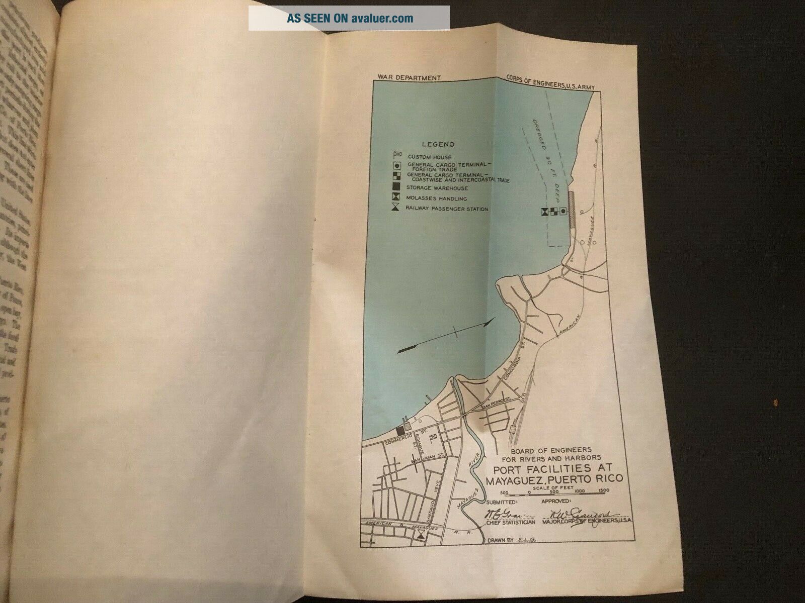
1935 The Ports Of Puerto Rico Corps Of Engineers US Army Port Series 21


Item History & Price

Information:
Reference Number: Avaluer:1250612Year: 1935
Publication Year: 1935Subject: Engineering
US State: Puerto RicoTopic: Maps
Original Description:
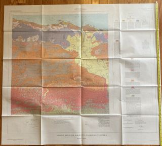
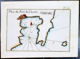
The Ports of Puerto Rico, Corps of Engineers, US Army, Port Series No. 21. 130 pages including pullout maps.  Softcover that measures 9.25" in L x 6" in W.  Good Condition.  Some dog ears on page edges and foxing.  Pages unmarked and held together by two heavy duty staples.  Table of Contents included in photos.


    Similar items


  • Antique/vintage Jigsaw Puzzle Of The United States & Puerto Rico & Oceans & More

    Antique/vintage Jigsaw Puzzle Of The United States & Puerto Rico & Oceans & More

  • Chiselers Club Of The Port Of York,  Membership Card,  1935 - 36

    Chiselers Club Of The Port Of York, Membership Card, 1935 - 36

  • Vintage Jigsaw Puzzle Of The United States & Puerto Rico & Oceans & More

    Vintage Jigsaw Puzzle Of The United States & Puerto Rico & Oceans & More

  • Vintage Map Of The Barceloneta Quadrangle,  Puerto Rico 1965

    Vintage Map Of The Barceloneta Quadrangle, Puerto Rico 1965

  • 1764 Joseph Roux Antique Map Of The Port Of Serifos & Livadi Aegean Isle,  Greece

    1764 Joseph Roux Antique Map Of The Port Of Serifos & Livadi Aegean Isle, Greece

  • Large 19th Century Dutch In The Port Of Amsterdam Antique Oil Painting

    Large 19th Century Dutch In The Port Of Amsterdam Antique Oil Painting

  • 1941 Press Photo Aerial Photo Of The Raid On Docks In The Port Of Rotterdam.

    1941 Press Photo Aerial Photo Of The Raid On Docks In The Port Of Rotterdam.

  • Alexandria,  The Port Of - Egypt - British Admiralty Chart 243,  Published In 1898

    Alexandria, The Port Of - Egypt - British Admiralty Chart 243, Published In 1898


    • You might also like


    • 1860 Mitchell Hand Colored Map Colorado,  Nebraska & Kansas - Civil War Era

      1860 Mitchell Hand Colored Map Colorado, Nebraska & Kansas - Civil War Era

    • 18th Century French Map Of North America

      18th Century French Map Of North America

    • Las Vegas Nevada Vintage 1967 Us Geological Survey Quadrangle Map 4 Panels

      Las Vegas Nevada Vintage 1967 Us Geological Survey Quadrangle Map 4 Panels

    • Rare Antique 1845 Maps United States Exploring Expedition Book Antartica Hawaii

      Rare Antique 1845 Maps United States Exploring Expedition Book Antartica Hawaii

    • Vintage 1926 Map Hollywood From The Best Surveys Of The Time

      Vintage 1926 Map Hollywood From The Best Surveys Of The Time

    • American Continent (western Hemisphere) 1747 Bowen Antique Copper Engraved Map

      American Continent (western Hemisphere) 1747 Bowen Antique Copper Engraved Map

    • Gulf Coast Florida Texas United States 1705 De Fer Unusual Antique Engraved Map

      Gulf Coast Florida Texas United States 1705 De Fer Unusual Antique Engraved Map

    • California As Island United States 1700 De Fer Unusual First Edition Antique Map

      California As Island United States 1700 De Fer Unusual First Edition Antique Map

Avaluer          About Us          Privacy Policy          Contact Us          UP
© 2022, avaluer.net, Inc. or its affiliates