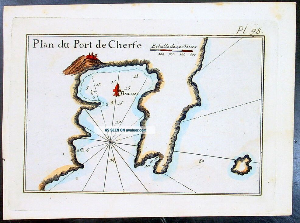
1764 Joseph Roux Antique Map Of The Port Of Serifos & Livadi Aegean Isle, Greece
Item History & Price
| Reference Number: Avaluer:31866 |

| Reference Number: Avaluer:31866 |
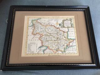
Antique Map Of The West Riding Of Yorkshire. R. W Seale. 1764, Universal Mag.
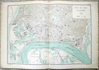
French Map Of The Port Of Antwerp, Belgium In 1894 - D ' Anvers. Antique
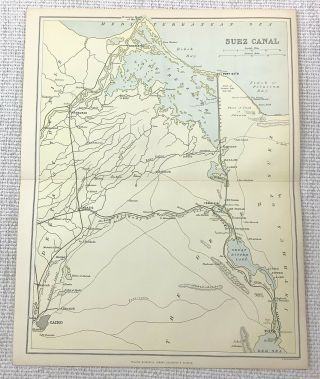
1897 Antique Map Of The Suez Canal Port Said Ismailia Lake Menzaleh Debeh Bay
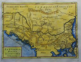
Antique Map Of The Balkans And Greece By Christoph Cellarius 1764
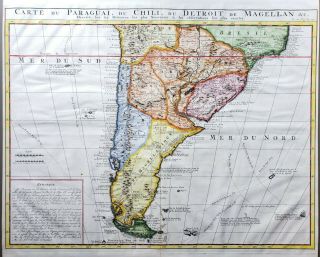
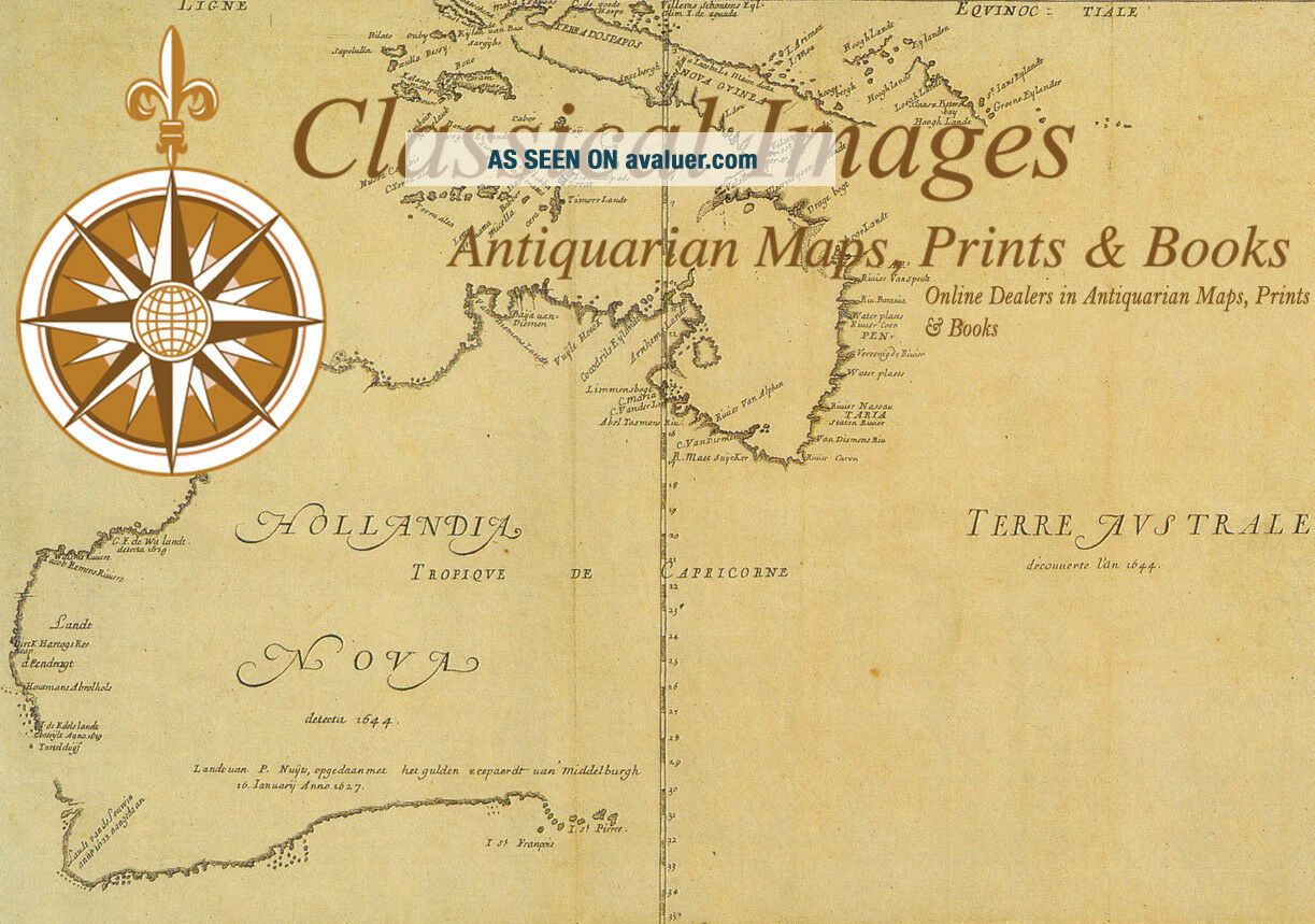
Antique Map Of The Southern Portion Of South America By Chatelain, 1719
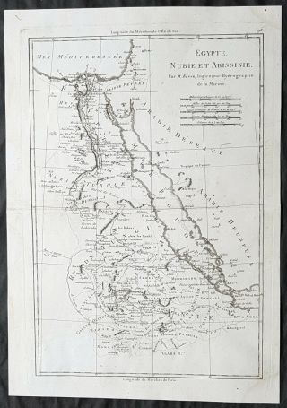
1787 Rigobert Bonne Antique Map Of The Red Sea, Egypt, Nubia, Abyssinia, Arabia
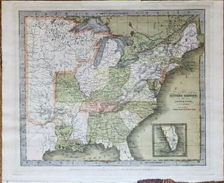
Antique Map Of The United States By: David Burr, 1835
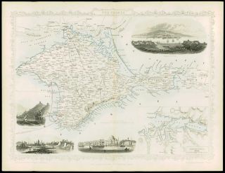
1850 - Illustrated Antique Map Of " The Crimea " Turkey By Tallis (74d)

Hungary & Romania 1579 (1584) Ortelius Unusual Antique Copper Engraved Map

Brussels Bruxelles Belfium 1777 De Ferraris & Dupuis Large Antique Map Sheet Xxi

1616 Atlas Map Of Iceland.

Kazan Russia 1767 Le Clerc/lespinasse Antique Copper Engraved City View

1899 Stanford, Folding Map Of Norwich, Norfolk, Arthur Collins, Jarrold & Sons,

1948 Vintage Linen Colour Map Geological Survey Ten Mile Of Great Britain

1944 Map Flying Bombs Sussex Ww2 Newspaper Military Kent Courier German V1 V2

Dated 1638 Vellum Map Of Icklesham Sussex Showing Land Uses Owners Etc