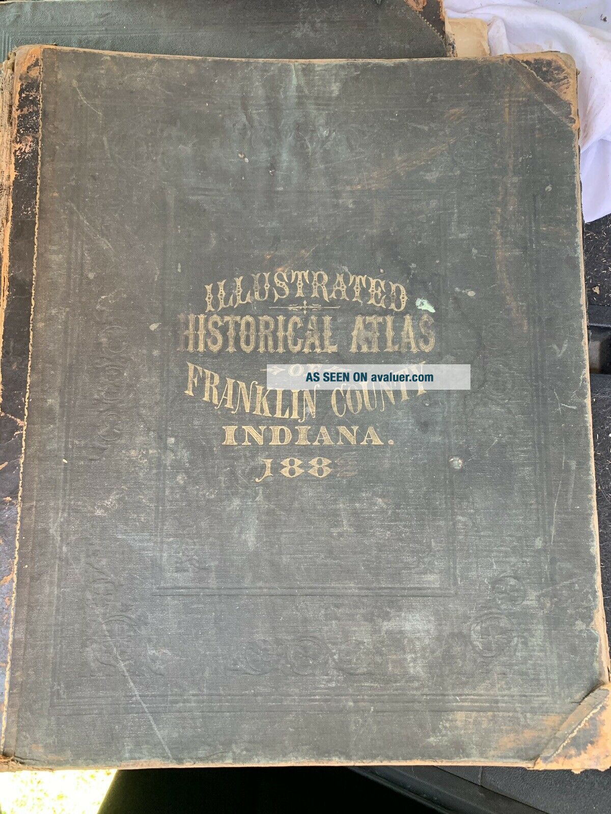
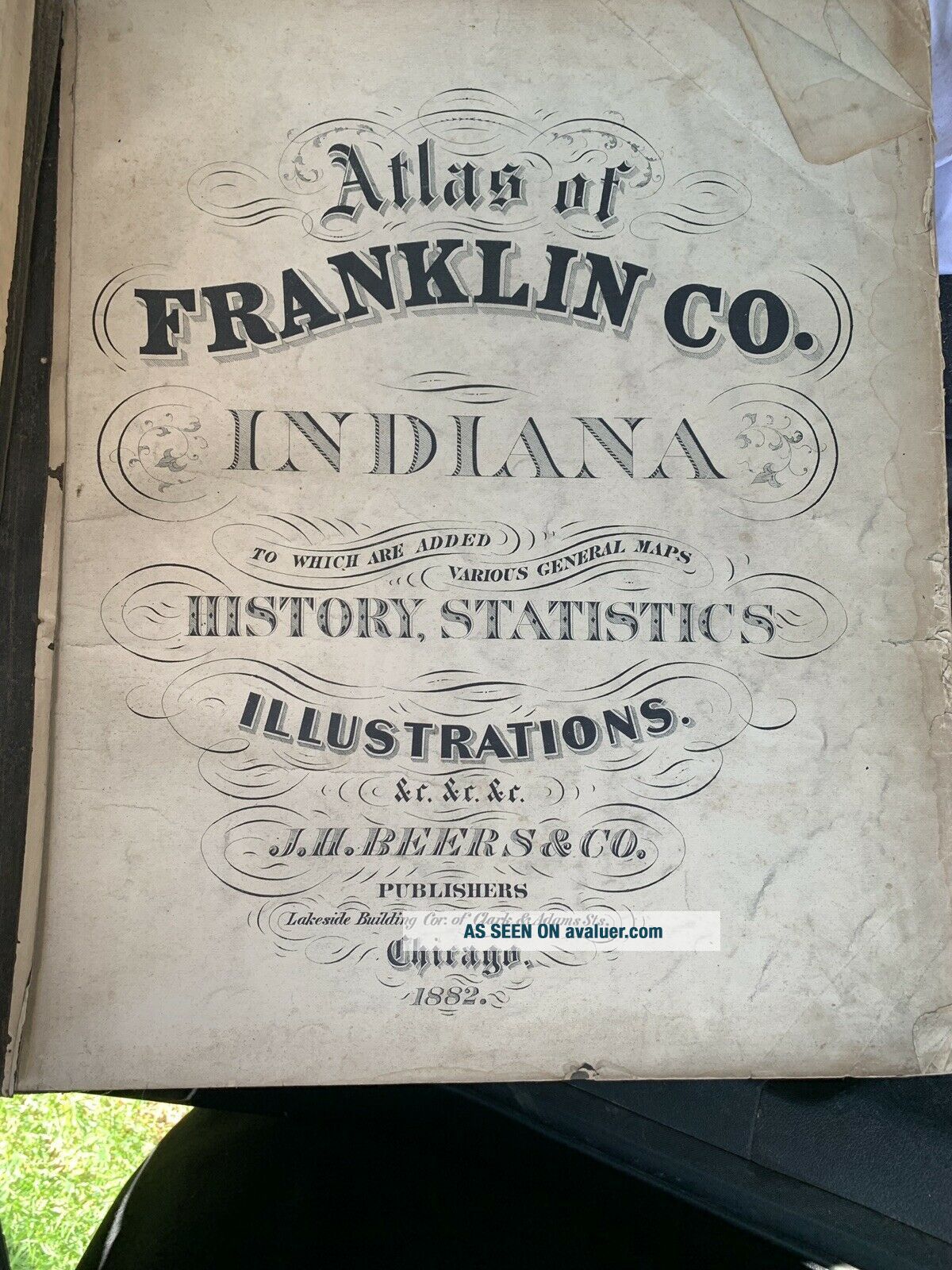
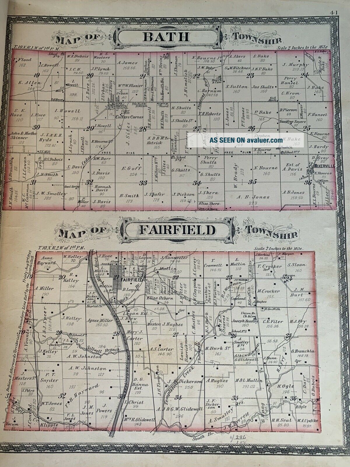
1882 Atlas Of Franklin County, Indiana. Complete. Maps & Rare.


Item History & Price

Information:
Reference Number: Avaluer:12817Year: 1872
US State: IndianaFormat: Atlas Map
Country/Region: United States of AmericaType: Topographical Map
Original Description:
1882 atlas of Franklin County in Indiana. I’m very good condition. Binding is loose but the book is still in tact. Message me with questions and bid with confidence!


    Similar items


  • 1908 Standard Atlas Of Franklin County Iowa W/ Plat Maps & Photos Of Residents

    1908 Standard Atlas Of Franklin County Iowa W/ Plat Maps & Photos Of Residents

  • Antique Map Montague,  Ma - Fw Beers Atlas Of Franklin County Ma 1871

    Antique Map Montague, Ma - Fw Beers Atlas Of Franklin County Ma 1871

  • 1874 & 1908 Atlas Of Parke County Indiana In Name Index Centennial Memorial

    1874 & 1908 Atlas Of Parke County Indiana In Name Index Centennial Memorial

  • Atlas Of Franklin County York 1876 / Martin Wehle 23 / 300 Signed 16 X 13

    Atlas Of Franklin County York 1876 / Martin Wehle 23 / 300 Signed 16 X 13

  • Vintage Atlas Of Daviess County Indiana Maps 1888 Elnora Washington Steele 1973

    Vintage Atlas Of Daviess County Indiana Maps 1888 Elnora Washington Steele 1973

  • 1879 Historical Atlas Of Huntington County Indiana Illustrated Scenes Of Houses

    1879 Historical Atlas Of Huntington County Indiana Illustrated Scenes Of Houses

  • Antique 1909 Standard Atlas Of Benton County Indiana

    Antique 1909 Standard Atlas Of Benton County Indiana

  • Antique 1878 Historial Atlas Of Tippecanoe County Indiana

    Antique 1878 Historial Atlas Of Tippecanoe County Indiana


    • You might also like


    • 1860 Mitchell Hand Colored Map Colorado,  Nebraska & Kansas - Civil War Era

      1860 Mitchell Hand Colored Map Colorado, Nebraska & Kansas - Civil War Era

    • 18th Century French Map Of North America

      18th Century French Map Of North America

    • Las Vegas Nevada Vintage 1967 Us Geological Survey Quadrangle Map 4 Panels

      Las Vegas Nevada Vintage 1967 Us Geological Survey Quadrangle Map 4 Panels

    • Rare Antique 1845 Maps United States Exploring Expedition Book Antartica Hawaii

      Rare Antique 1845 Maps United States Exploring Expedition Book Antartica Hawaii

    • Vintage 1926 Map Hollywood From The Best Surveys Of The Time

      Vintage 1926 Map Hollywood From The Best Surveys Of The Time

    • American Continent (western Hemisphere) 1747 Bowen Antique Copper Engraved Map

      American Continent (western Hemisphere) 1747 Bowen Antique Copper Engraved Map

    • Gulf Coast Florida Texas United States 1705 De Fer Unusual Antique Engraved Map

      Gulf Coast Florida Texas United States 1705 De Fer Unusual Antique Engraved Map

    • California As Island United States 1700 De Fer Unusual First Edition Antique Map

      California As Island United States 1700 De Fer Unusual First Edition Antique Map

Avaluer          About Us          Privacy Policy          Contact Us          UP
© 2022, avaluer.net, Inc. or its affiliates