20 ANTIQUE STATE MAPS FROM 1859 COLTON ' S GENERAL ATLAS


Item History & Price

Information:
Reference Number: Avaluer:13578Cartographer/Publisher: COLTON
Type: STATE MAPPrinting Technique: STEEL ENGRAVING
Year: 1859Original/Reproduction: Antique Original
Date Range: 1800-1899Format: Atlas
Country/Region: United States of America
Original Description:

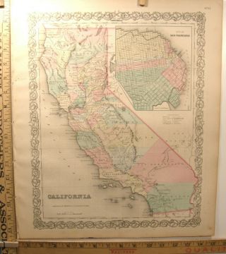
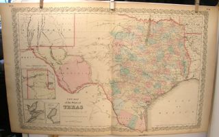
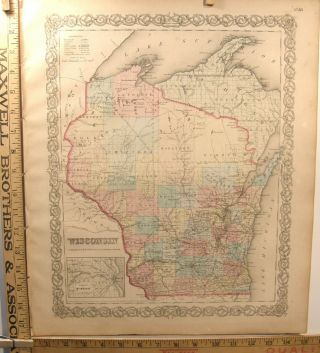
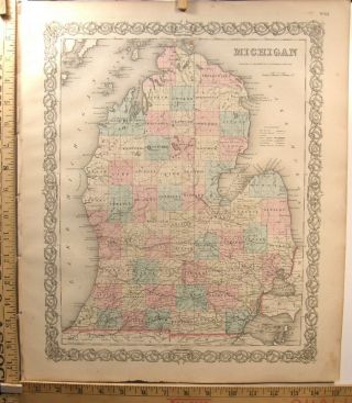
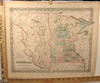
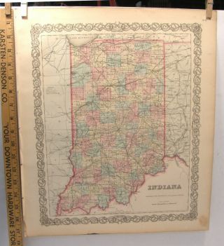
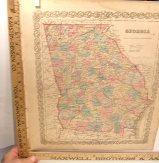
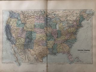
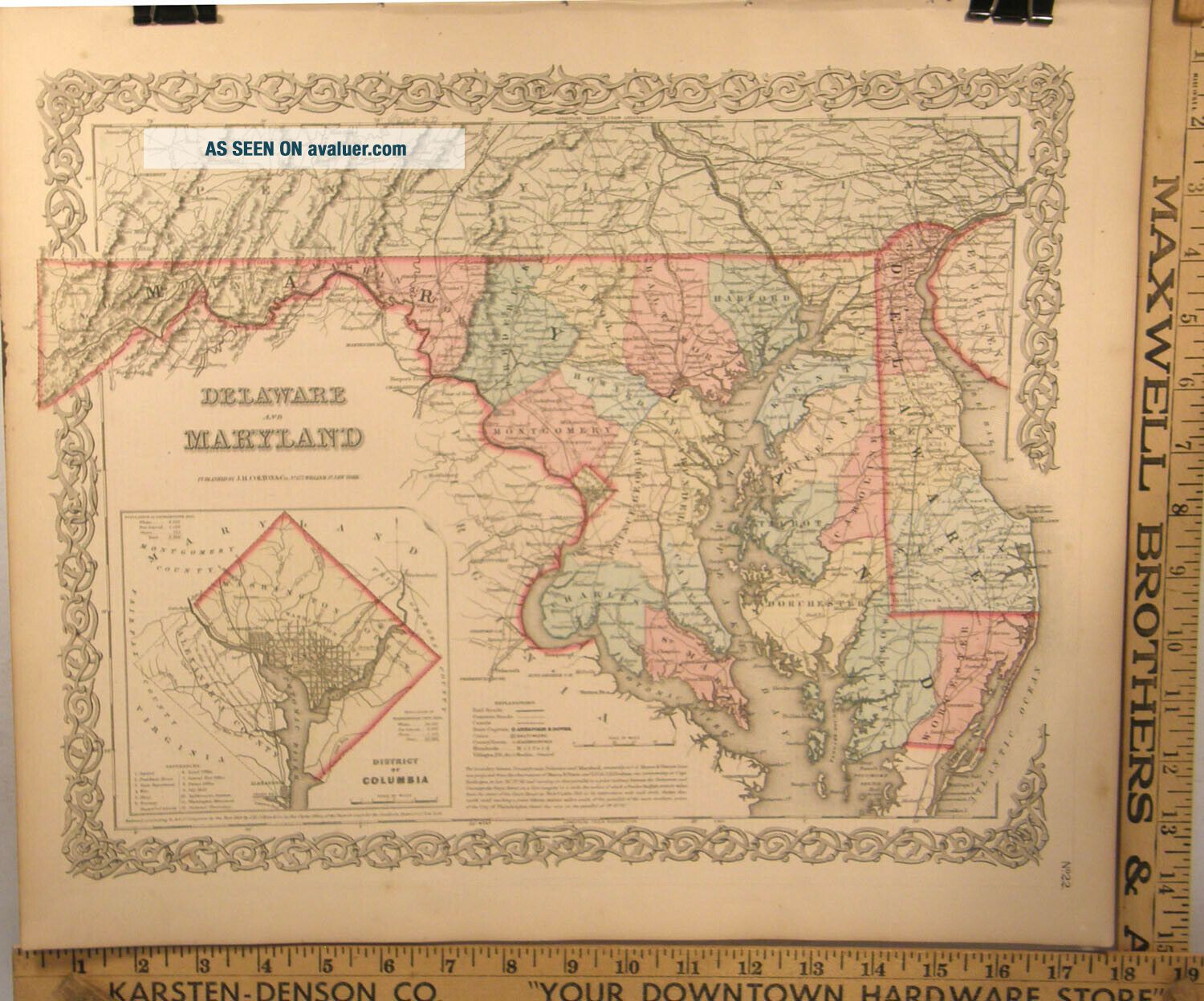
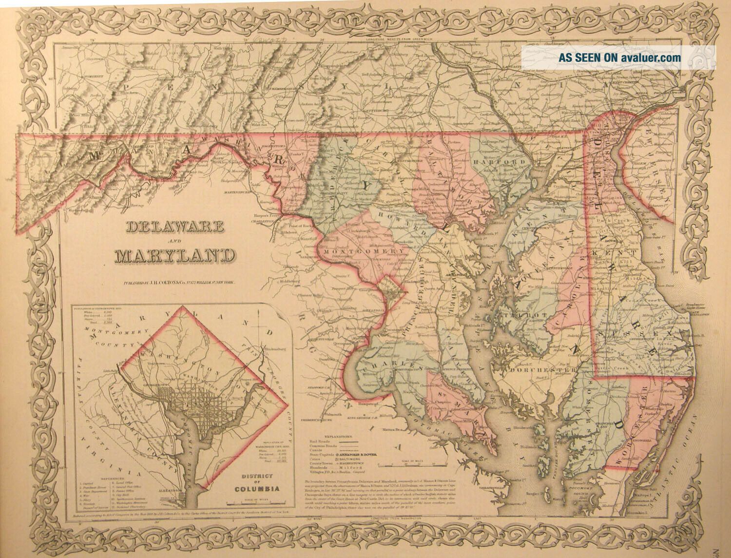
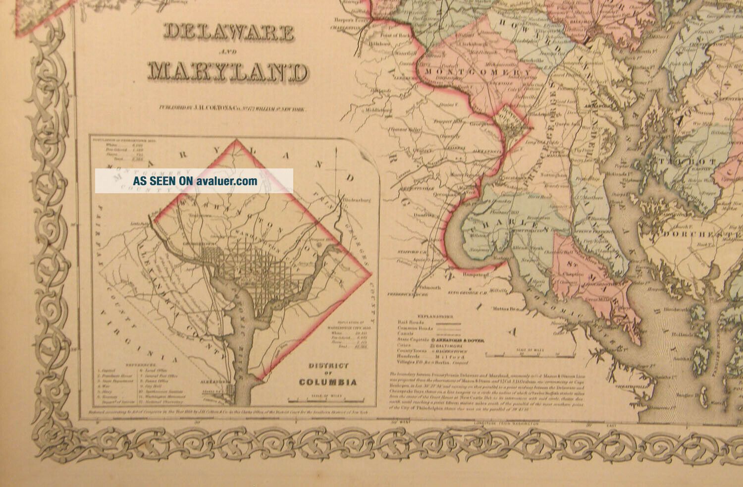
Please email with any questions. Group of 20 steel plate engraved maps from 1859 Colton's General Atlas. 1. Mississippi 2. St. Louis and Chicago 3. Louisiana 4. New Orleans and Louisville 5. Philadelphia 6. New Jersey 7. Illinois 8. Vermont 9. Pennsylvania 10. Maine 11. Baltimore, MD 12. New Hampshire 13. Arkansas 14. Connecticut 15. Delaware and Maryland 16. Iowa 17. Pittsburgh, PA and Cincinnati, OH 18. Alabama 19. Missouri 20. Ohio .

...


    Similar items


  • Antique Color Engraving Map California 1859 Colton

    Antique Color Engraving Map California 1859 Colton ' S General Atlas San Francisco

  • Large Antique Hand Color Engraving Map Texas 1859 Colton

    Large Antique Hand Color Engraving Map Texas 1859 Colton ' S General Atlas

  • Antique Hand Colored Engraving Map Wisconsin 1859 Colton

    Antique Hand Colored Engraving Map Wisconsin 1859 Colton ' S General Atlas Rr

  • Antique Hand Colored Engraving Map Michigan 1859 Colton

    Antique Hand Colored Engraving Map Michigan 1859 Colton ' S Atlas Railroad

  • Antique Hand Colored Engraving Map Minnesota 1859 Colton

    Antique Hand Colored Engraving Map Minnesota 1859 Colton ' S General Atlas

  • Antique Hand Color Engraving Map Indiana 1859 Colton

    Antique Hand Color Engraving Map Indiana 1859 Colton ' S General Atlas Railroads

  • Antique Hand Colored Engraving Map Georgia 1859 Colton

    Antique Hand Colored Engraving Map Georgia 1859 Colton ' S General Atlas Rr

  • 1894 United States Map From Stanford’s London Atlas Of Universal Geography

    1894 United States Map From Stanford’s London Atlas Of Universal Geography


    • You might also like


    • 1860 Mitchell Hand Colored Map Colorado,  Nebraska & Kansas - Civil War Era

      1860 Mitchell Hand Colored Map Colorado, Nebraska & Kansas - Civil War Era

    • 18th Century French Map Of North America

      18th Century French Map Of North America

    • Las Vegas Nevada Vintage 1967 Us Geological Survey Quadrangle Map 4 Panels

      Las Vegas Nevada Vintage 1967 Us Geological Survey Quadrangle Map 4 Panels

    • Rare Antique 1845 Maps United States Exploring Expedition Book Antartica Hawaii

      Rare Antique 1845 Maps United States Exploring Expedition Book Antartica Hawaii

    • Vintage 1926 Map Hollywood From The Best Surveys Of The Time

      Vintage 1926 Map Hollywood From The Best Surveys Of The Time

    • American Continent (western Hemisphere) 1747 Bowen Antique Copper Engraved Map

      American Continent (western Hemisphere) 1747 Bowen Antique Copper Engraved Map

    • Gulf Coast Florida Texas United States 1705 De Fer Unusual Antique Engraved Map

      Gulf Coast Florida Texas United States 1705 De Fer Unusual Antique Engraved Map

    • California As Island United States 1700 De Fer Unusual First Edition Antique Map

      California As Island United States 1700 De Fer Unusual First Edition Antique Map

Avaluer          About Us          Privacy Policy          Contact Us          UP
© 2022, avaluer.net, Inc. or its affiliates