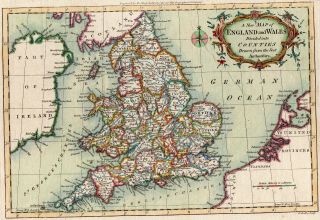
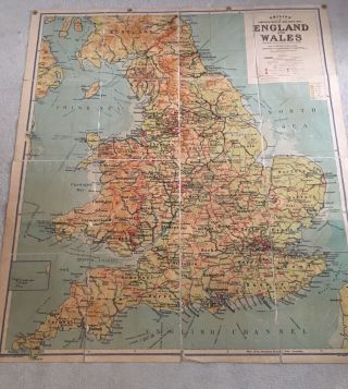
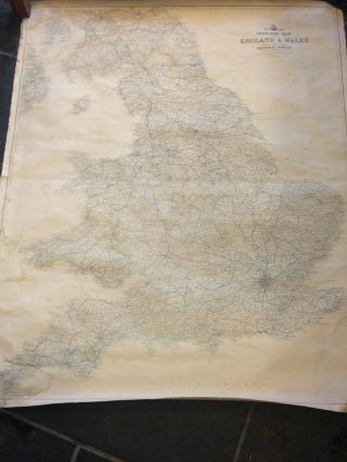
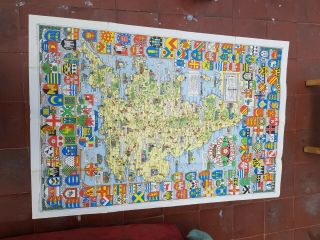
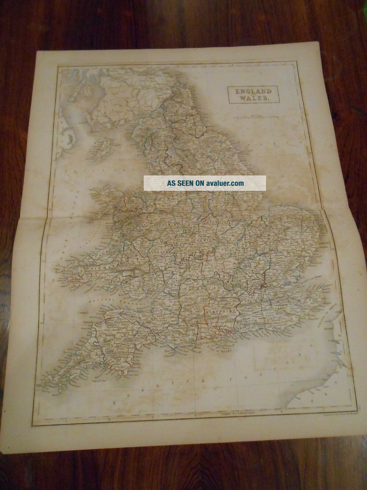
Large Engraved Map Of England And Wales. Hand Colored Outline. Circa 1850.


Item History & Price

Information:
Reference Number: Avaluer:13892
Original Description:
Up for sale is a large nicely engraved map of England and Wales.  It is circa 1850.  Engraved by S.Hall, Bury Str, Bloosbury.   Measures approximately 17 x 22 inches.  Hand colored outlines of counties. Large single sided map.  Will look nice framed 
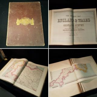
Map has some browning and foxing.  The map title has made a reverse image at bottom where it was folded. Similarly much of the "browning" is actually rubbing between top and bottom when folde...d.This map has been stored folded,  Crease from original atlas.  A couple small chips around edges of boarder.  A fold at bottom left corner and a small piece of corner gone.. No chips or creases come even close to the actual map (except of course the page fold at middle and framing will take care of all these small edge issues.  Other small dings here and there.
Please email with questions and see my store for other great items.

00962


    Similar items


  • 18th Century,  Hand Coloured Engraving,  A Map Of England And Wales,  C.  1770

    18th Century, Hand Coloured Engraving, A Map Of England And Wales, C. 1770

  • 1870 Elephant Folio Imperial Map Of England And Wales Large Atlas Colour Sheets

    1870 Elephant Folio Imperial Map Of England And Wales Large Atlas Colour Sheets

  • Large Old Wall Map Of England And Wales Circa 1950

    Large Old Wall Map Of England And Wales Circa 1950

  • Large Vintage Linen Backed Map Of England And Wales

    Large Vintage Linen Backed Map Of England And Wales

  • Vintage Shell Historical Map Of England And Wales Large

    Vintage Shell Historical Map Of England And Wales Large

  • Vintage Shell Historical Map Of England And Wales Large 1971

    Vintage Shell Historical Map Of England And Wales Large 1971

  • Vintage Shell Historical Map Of England And Wales Large 1971

    Vintage Shell Historical Map Of England And Wales Large 1971

  • 1890 Ca Antique Map - Geological Map Of England And Wales,  2 Sheets

    1890 Ca Antique Map - Geological Map Of England And Wales, 2 Sheets


    • You might also like


    • Hungary & Romania 1579 (1584) Ortelius Unusual Antique Copper Engraved Map

      Hungary & Romania 1579 (1584) Ortelius Unusual Antique Copper Engraved Map

    • Brussels Bruxelles Belfium 1777 De Ferraris & Dupuis Large Antique Map Sheet Xxi

      Brussels Bruxelles Belfium 1777 De Ferraris & Dupuis Large Antique Map Sheet Xxi

    • 1616 Atlas Map Of Iceland.

      1616 Atlas Map Of Iceland.

    • Kazan Russia 1767 Le Clerc/lespinasse Antique Copper Engraved City View

      Kazan Russia 1767 Le Clerc/lespinasse Antique Copper Engraved City View

    • 1899 Stanford,  Folding Map Of Norwich,  Norfolk,  Arthur Collins,  Jarrold & Sons,

      1899 Stanford, Folding Map Of Norwich, Norfolk, Arthur Collins, Jarrold & Sons,

    • 1948 Vintage Linen Colour Map Geological Survey Ten Mile Of Great Britain

      1948 Vintage Linen Colour Map Geological Survey Ten Mile Of Great Britain

    • 1944 Map Flying Bombs Sussex Ww2 Newspaper Military Kent Courier German V1 V2

      1944 Map Flying Bombs Sussex Ww2 Newspaper Military Kent Courier German V1 V2

    • Dated 1638 Vellum Map Of Icklesham Sussex Showing Land Uses Owners Etc

      Dated 1638 Vellum Map Of Icklesham Sussex Showing Land Uses Owners Etc

Avaluer          About Us          Privacy Policy          Contact Us          UP
© 2022, avaluer.net, Inc. or its affiliates