1955 Map Christain Egypt Soc Coptic Archeology English French Bachatly Nile


Item History & Price

Information:
Reference Number: Avaluer:14254192Cartographer/Publisher: Society of Coptic Archeology.
Date Range: 1950-1959Original/Reproduction: Vintage Original
Country/Region: EgyptFormat: Folding Map
Era: 1950sType: Christian Church map
Antique/ Modern: VintageYear: 1955
Original Description:
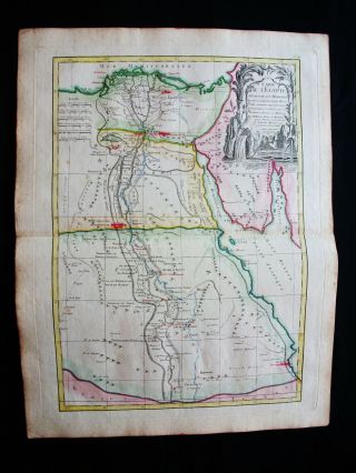
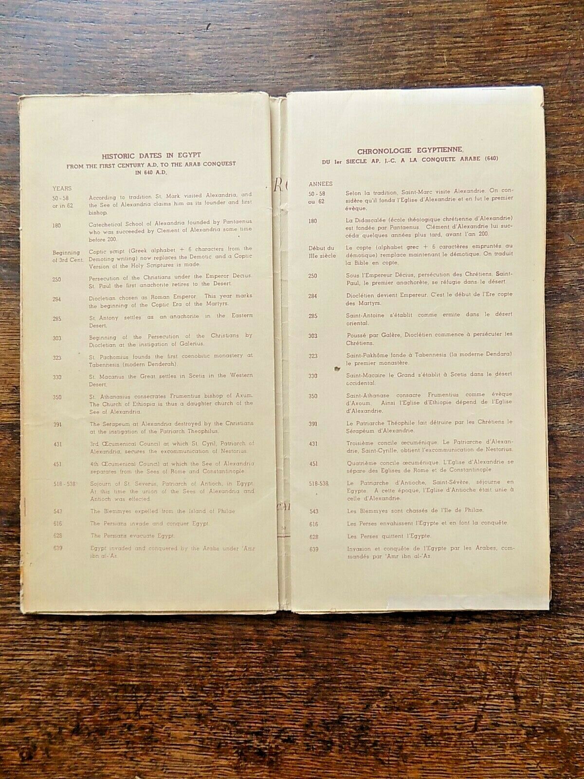
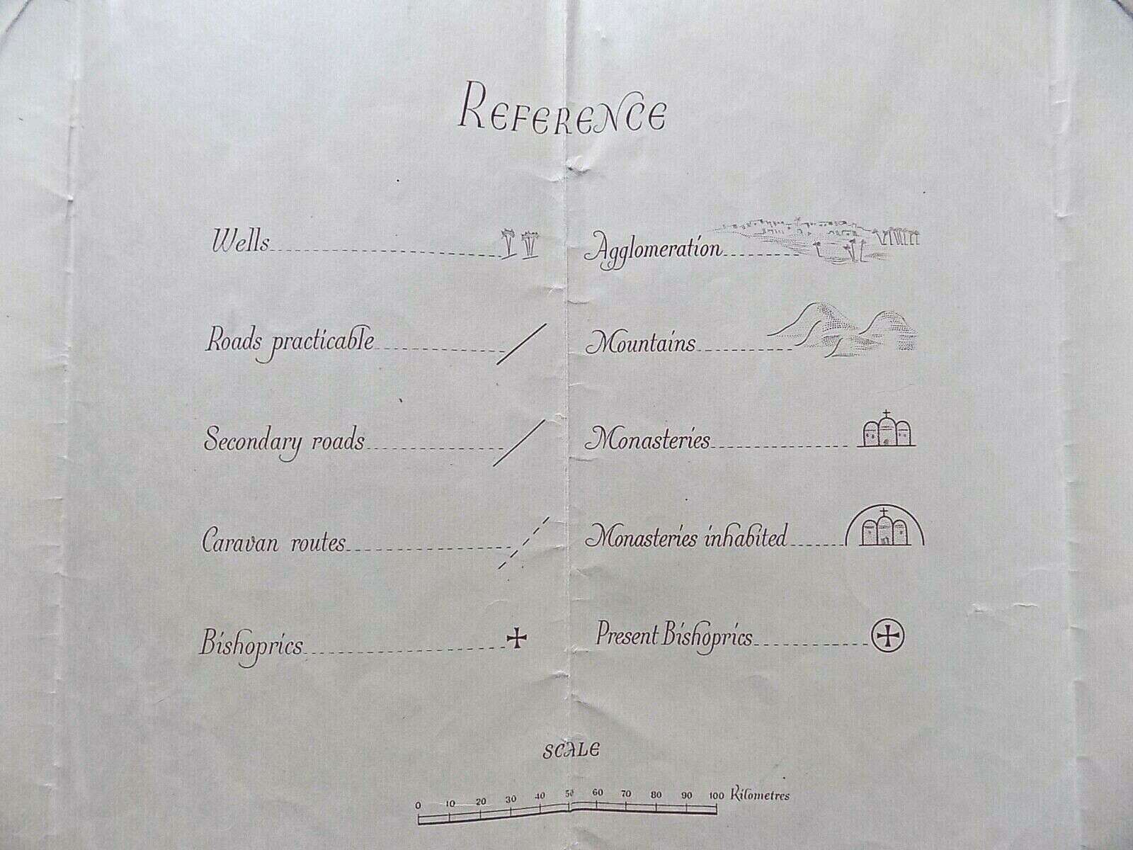
A map showing Christian Bishoprics and Monasteries etc. in Egypt.A bi-lingual map in French and English, published by the Egyptian State Tourist Administration.
Titled "Societie d'Archeologie CopteLe Caire, Carte de L'Egypte Chretienne Eveches et Couvents."
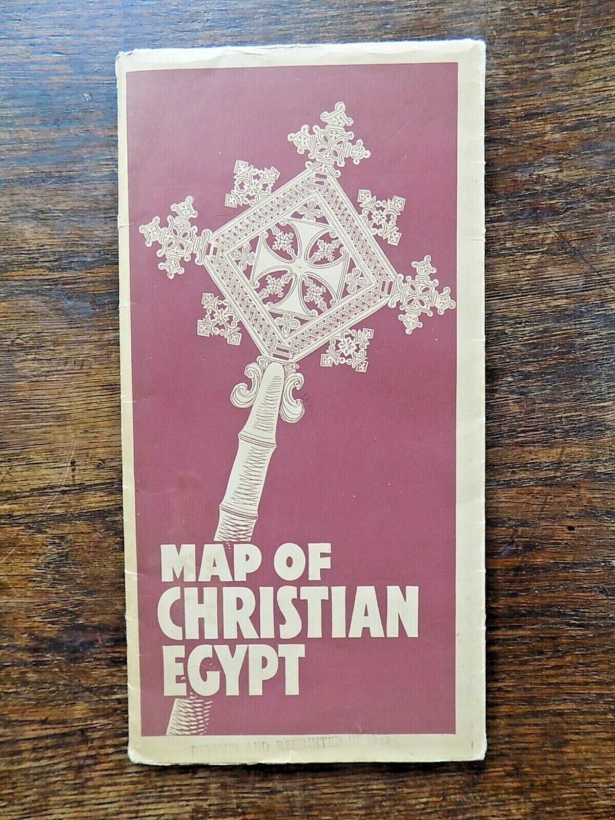
On the front, in English, simply "Map of Christian Egypt." Dated on the map 1954, but stamped "Revised and Reprinted in 1955."
Slightly tatty (a fragile paper map) but this is quite scarce, and has attractive 1950s design b...y Charles Bachatly. Lots of fish, octopi, camels, etc.
Size: Unfolded 102cms x 76cms. Folded 25.5cms x 13cms.Condition: A little tatty, with 3 tears at the folds, repaired with archival tape. Holes where the folds meet. Wear and pinholes at the 4 corners where previously hung on the wall.
Free postage within the UK. £5.00 to Europe, £8.00 to USA etc.I have other antique maps, books, prints etc. in my ebay shop - please see my other items.


    Similar items


  • 1831 Middle East Estruc Map Of Egypt Hand Colored Copper Plate Engraving

    1831 Middle East Estruc Map Of Egypt Hand Colored Copper Plate Engraving

  • 1831 Baldwin Cradock Map Ancient Egypt Landmarks Antique

    1831 Baldwin Cradock Map Ancient Egypt Landmarks Antique

  • 1855 Johnston Military Map Napoleon Egypt Syria Battle Of Aboukir Pyramids Nile

    1855 Johnston Military Map Napoleon Egypt Syria Battle Of Aboukir Pyramids Nile

  • Antique Map Of Egypt Nubia Abyssinia Suez Canal 1871

    Antique Map Of Egypt Nubia Abyssinia Suez Canal 1871

  • Vintage Marine Chart Sheet Map A Correct Chart Of The English Channel B/w

    Vintage Marine Chart Sheet Map A Correct Chart Of The English Channel B/w

  • Antique Map Plan Egypt Egyptian 1895 (medium) 120,  Years Old

    Antique Map Plan Egypt Egyptian 1895 (medium) 120, Years Old

  • 1778 Zannoni - Rare Map: Africa,  Egypt,  Cairo,  Red Sea,  Alexandria,  Suez Canal

    1778 Zannoni - Rare Map: Africa, Egypt, Cairo, Red Sea, Alexandria, Suez Canal

  • 1789 Bonne - Rare Map Of Egypt,  Egyptus,  Egypte,  Africa,  Lybia,  Suez Canal,  Cairo

    1789 Bonne - Rare Map Of Egypt, Egyptus, Egypte, Africa, Lybia, Suez Canal, Cairo


    • You might also like


    • Hungary & Romania 1579 (1584) Ortelius Unusual Antique Copper Engraved Map

      Hungary & Romania 1579 (1584) Ortelius Unusual Antique Copper Engraved Map

    • Brussels Bruxelles Belfium 1777 De Ferraris & Dupuis Large Antique Map Sheet Xxi

      Brussels Bruxelles Belfium 1777 De Ferraris & Dupuis Large Antique Map Sheet Xxi

    • 1616 Atlas Map Of Iceland.

      1616 Atlas Map Of Iceland.

    • Kazan Russia 1767 Le Clerc/lespinasse Antique Copper Engraved City View

      Kazan Russia 1767 Le Clerc/lespinasse Antique Copper Engraved City View

    • 1899 Stanford,  Folding Map Of Norwich,  Norfolk,  Arthur Collins,  Jarrold & Sons,

      1899 Stanford, Folding Map Of Norwich, Norfolk, Arthur Collins, Jarrold & Sons,

    • 1948 Vintage Linen Colour Map Geological Survey Ten Mile Of Great Britain

      1948 Vintage Linen Colour Map Geological Survey Ten Mile Of Great Britain

    • 1944 Map Flying Bombs Sussex Ww2 Newspaper Military Kent Courier German V1 V2

      1944 Map Flying Bombs Sussex Ww2 Newspaper Military Kent Courier German V1 V2

    • Dated 1638 Vellum Map Of Icklesham Sussex Showing Land Uses Owners Etc

      Dated 1638 Vellum Map Of Icklesham Sussex Showing Land Uses Owners Etc

Avaluer          About Us          Privacy Policy          Contact Us          UP
© 2022, avaluer.net, Inc. or its affiliates