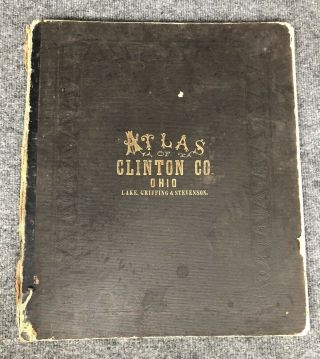
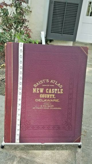
Antique 1870 Atlas Of Worcester County Mass - F W Beers & Co
Item History & Price
| Reference Number: Avaluer:15716320 |
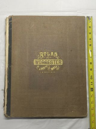
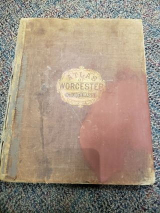
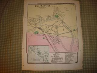
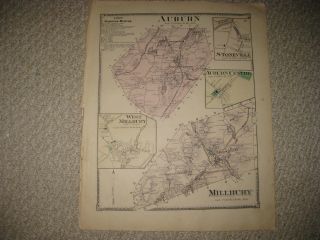
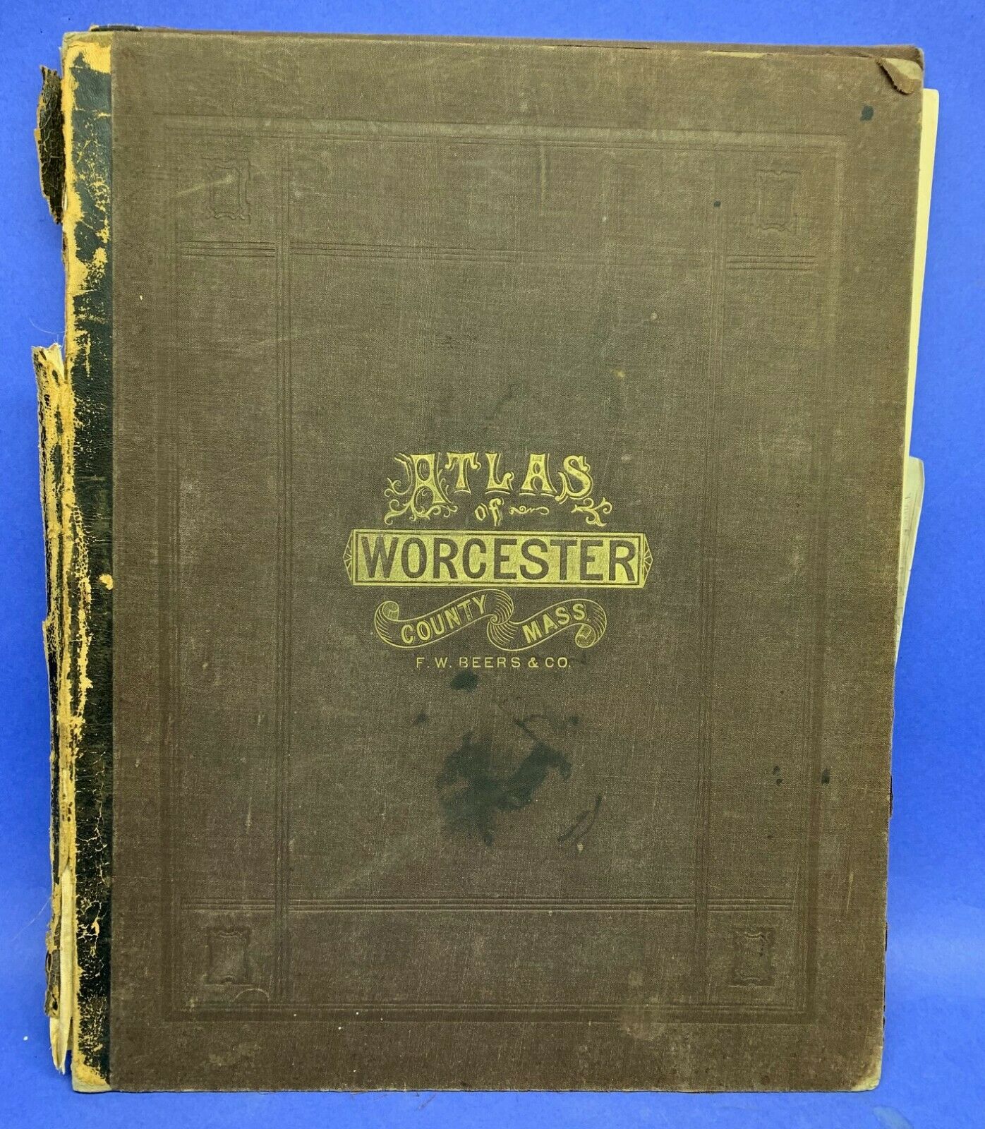
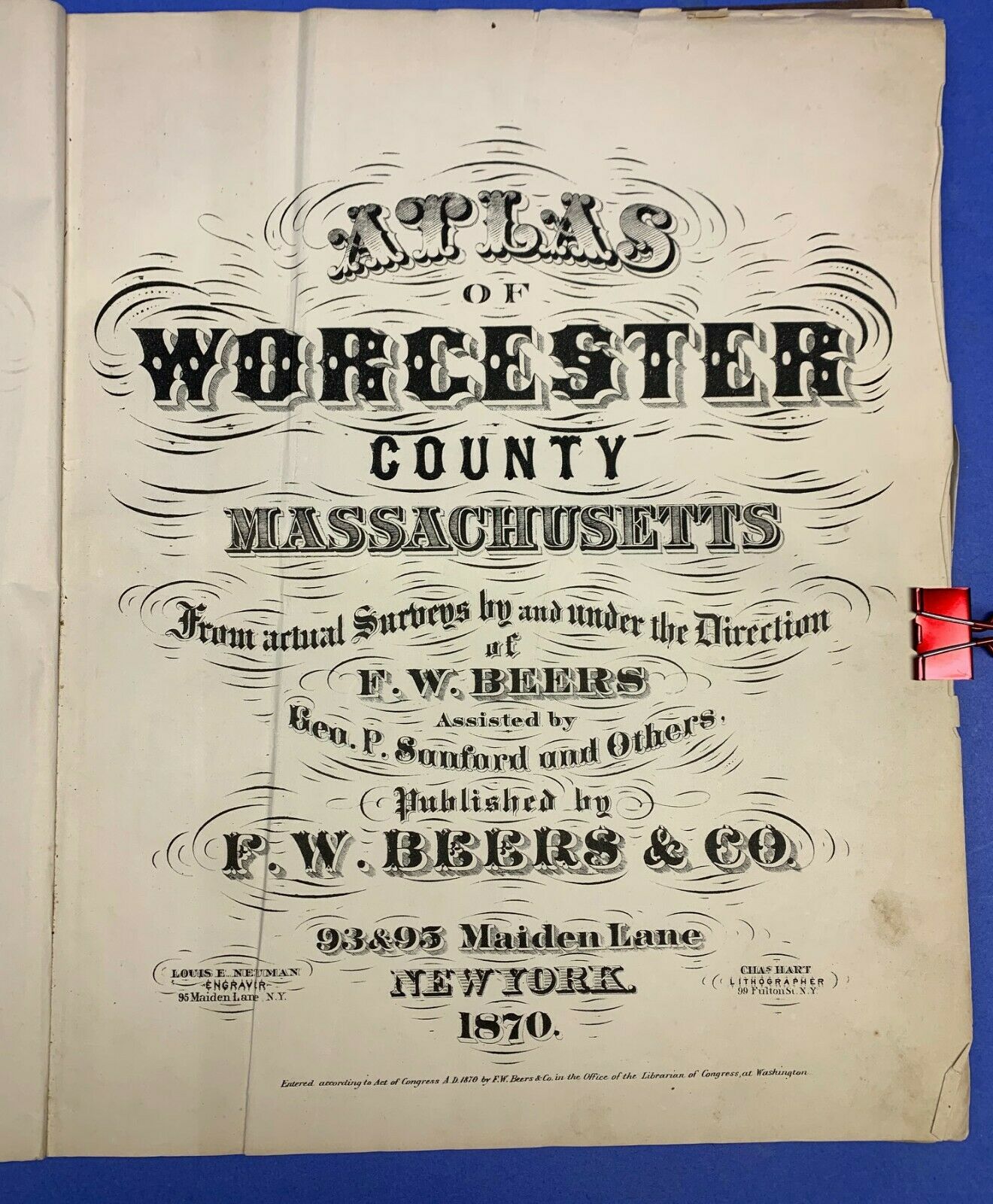
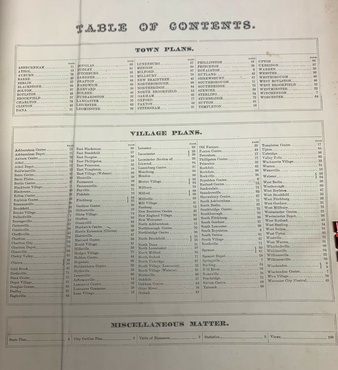
1870 Atlas of Worcester County Massachusetts. Wonderful Antique Atlas of Worcester and surrounding towns. . Includes color maps in excellent condition. This atlas is complete. Measures 13" x 16" x 1". It is ready to have bookbinder repair binding. Please see pictures. I've priced it low to account for the suggested repair. Will ship domestically via media mail or you can upgrade to USPS Priority Mail for faster delivery. Heavy book weighs 5 pounds.
Ques...tions? I’m happy to answer your questions
Packing & Shipping I pack extremely well to assure safe arrival of your purchase. Strong packing, plenty of bubble wrap and peanuts. Shipping Cost I use the eBay shipping calculator which automatically calculates your cost based upon your location + size & weight of your item.Sometimes eBay’s rate come is higher than it should. In such case, we will refund the over payment via PayPal.
Combined Shipping I will gladly combine shipping for multiple items purchased to reduce your shipping costs. Please contact us before you make your payment and I will send you a PayPal invoice for the combined rate.
Satisfaction I have been buying and selling on eBay since 1999 and pride myself on both buyers and seller having a great experience.I stand behind my items to be 100% as described. Please contact me with any questions that you may have.
eBay Store Check out my eBay store! (click the red door next to my seller name)
eBay Favorite Please save me a favorite. I am a very active estate buyer and sell exclusively on eBay.
Watch for clearance items in the "Yard Sale" category & make an offer.
I have been buying and selling on eBay since 1999 and pridemyself on both buyers and seller having a great experience. I stand behind my items to be 100% as described.
Please contact me with any questions that you may have.
I will be listing a huge selection of outstanding antiques, books, and ephemera. Please same me as a favorite seller and watch for my upcoming auctions and buy it now items.