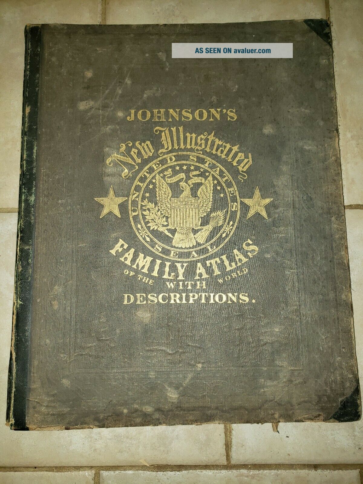
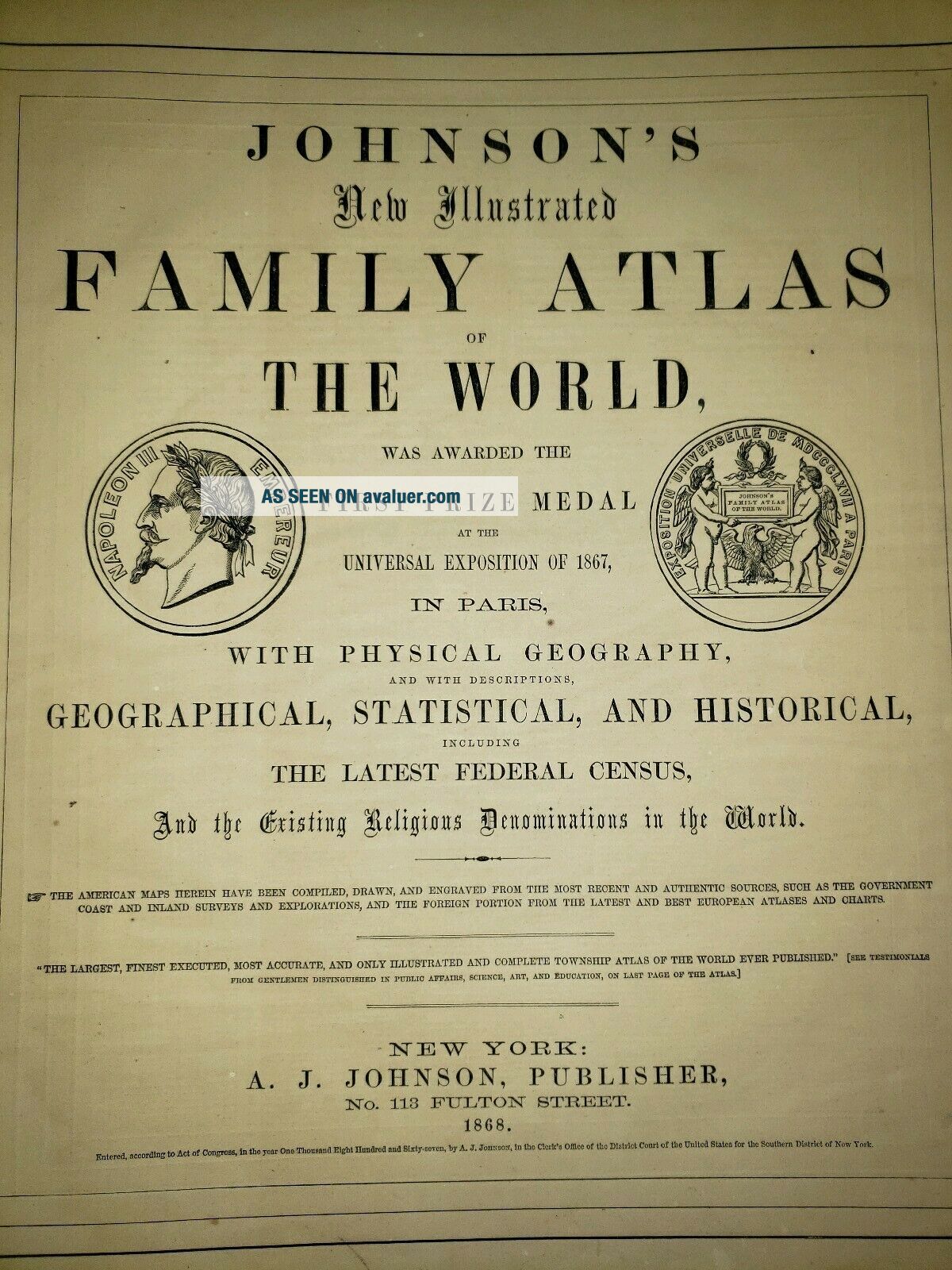
1868 Johnson ' S Illustrated Family Atlas Of The World With Descriptions


Item History & Price

Information:
Reference Number: Avaluer:16328Year: 1868
Format: Atlas
Original Description:
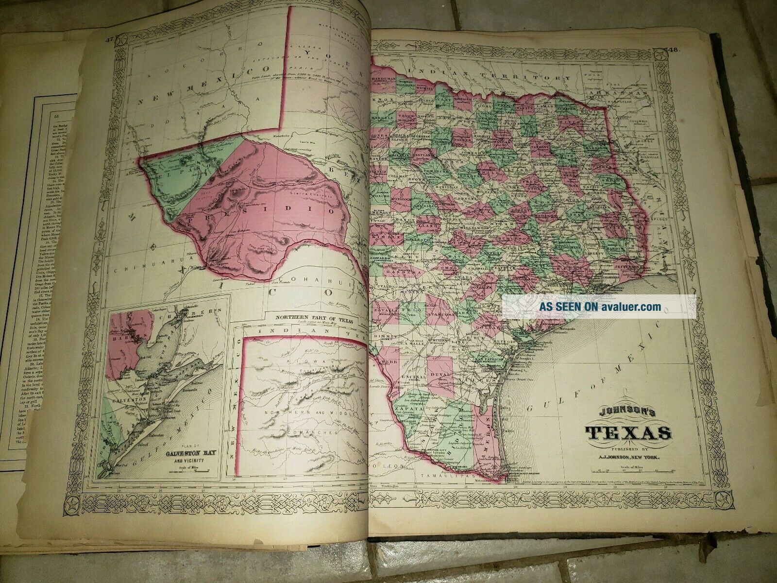
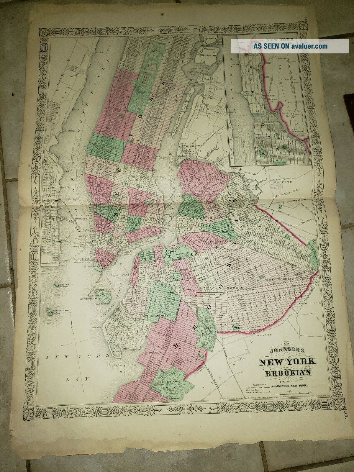
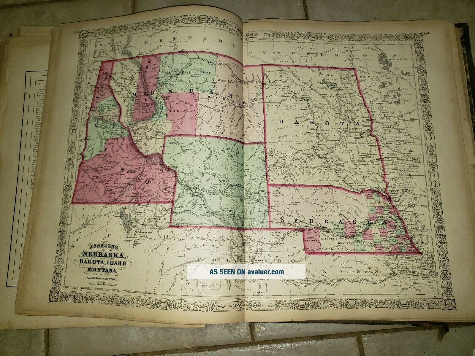
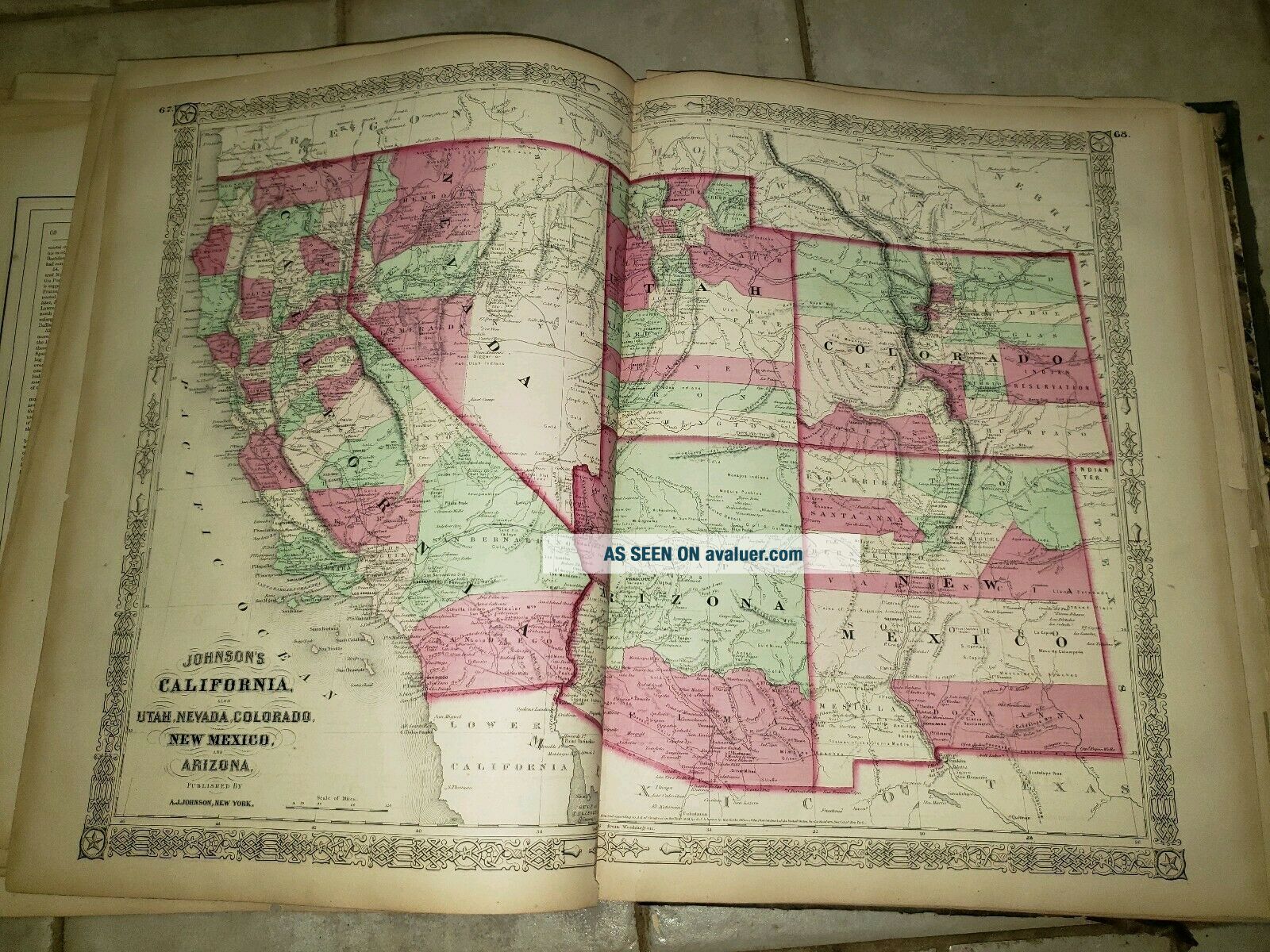
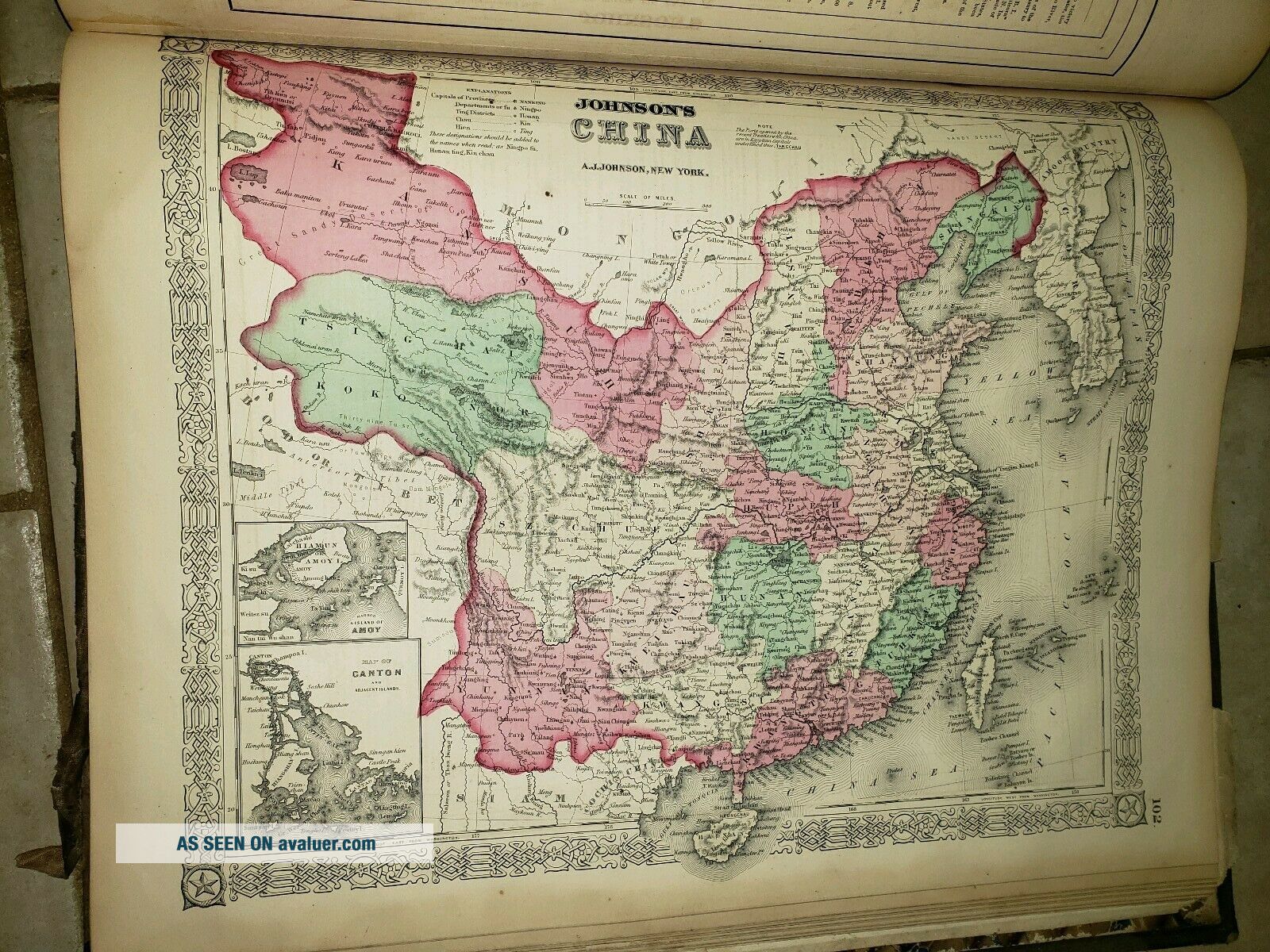
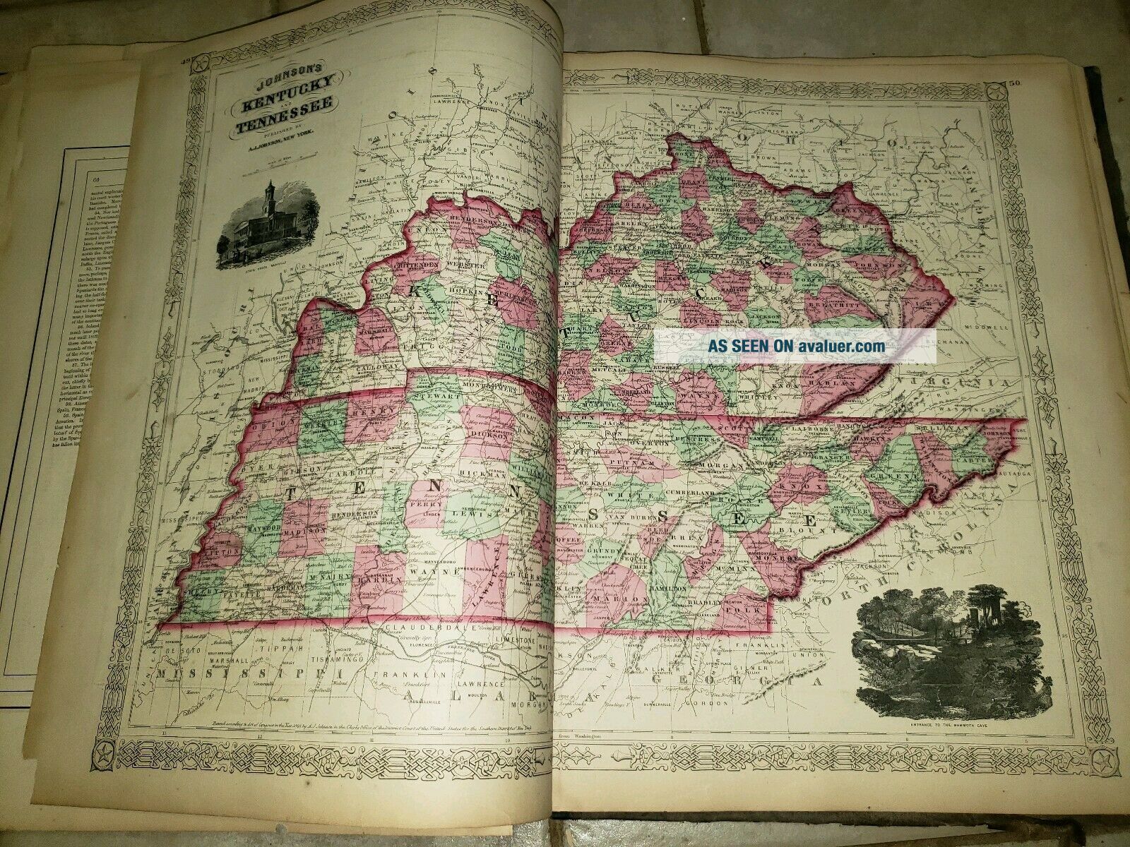
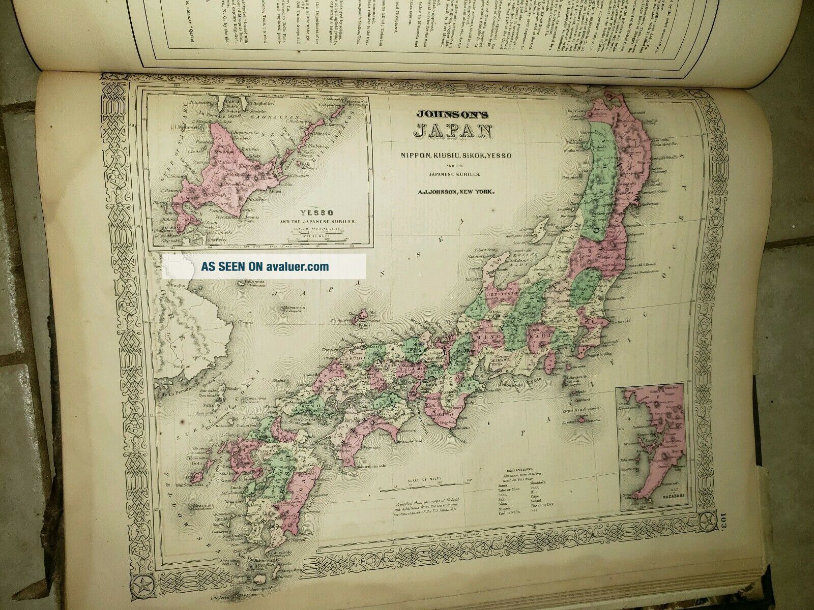
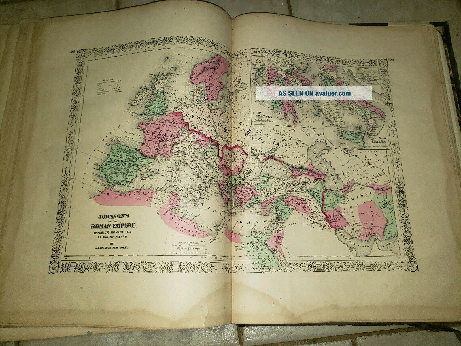
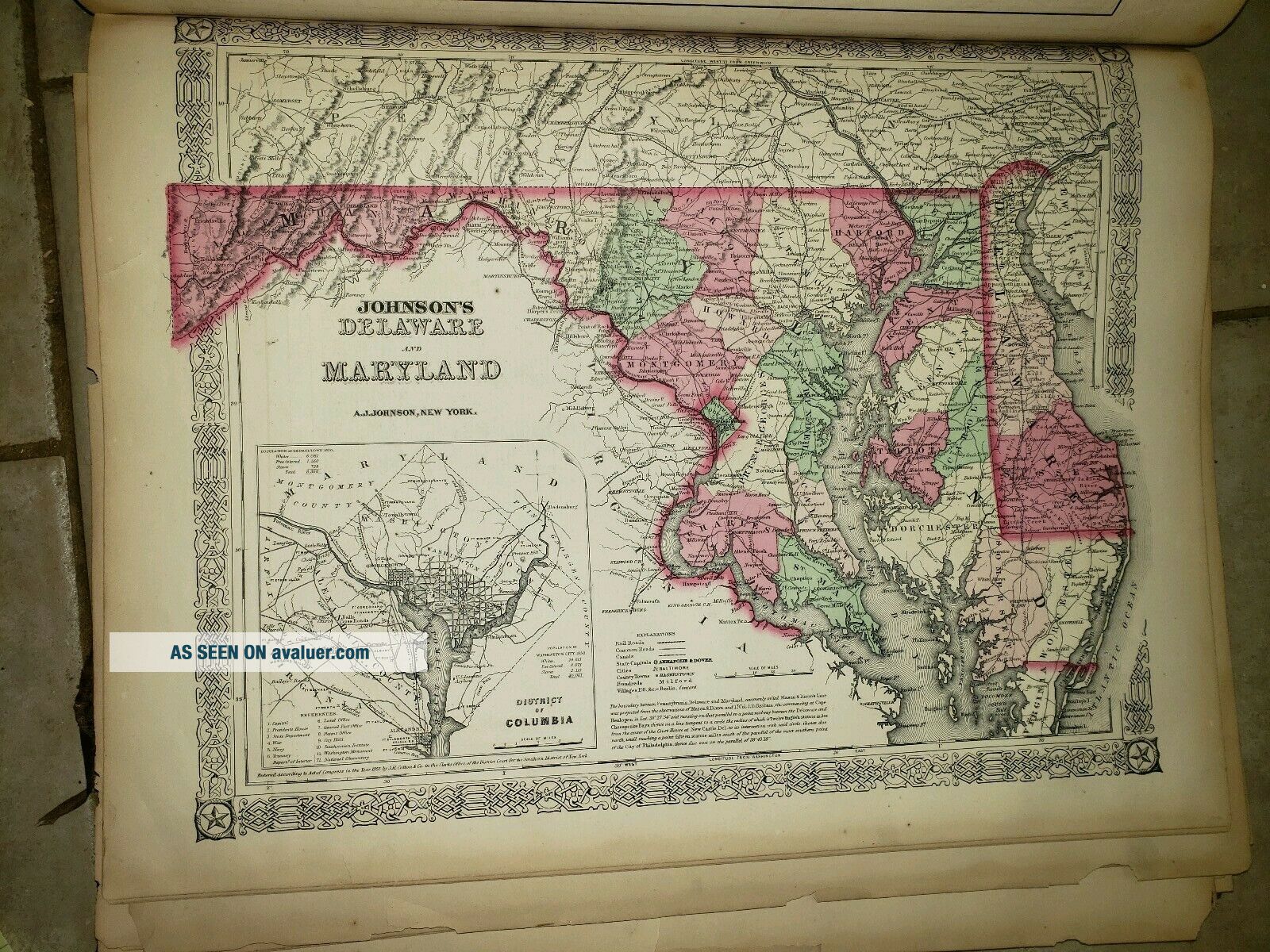
1868 Johnson's New Illustrated Family Atlas of the World With Descriptions. I believe this is a complete atlas but no sure. Covers are very worn and soiled.1/2 of back covering loose and needs reglued. Worn edges and spine starting to split. Some pages are fragile and easy to chip along edges. Yellowed and some have lifht staining along edges. Some pages are separated from the spine and torn vertical ly in middle. 4 or 5 of the maps have tears. See pics for further description.  N...o returns.


    Similar items


  • Johnson

    Johnson ' S Illustrated Family Atlas Of The World - 1868 / Hand Colored Maps

  • Johnson

    Johnson ' S Illustrated Family Atlas Of The World With Descriptions 1864

  • 1864 Johnson

    1864 Johnson ' S Illustrated Family Atlas Of The World With Descriptions

  • Johnson’s Illustrated Family Atlas Of Rhe World

    Johnson’s Illustrated Family Atlas Of Rhe World

  • 1862 Johnson

    1862 Johnson ' S Illustrated Family Atlas Of The World

  • Johnson

    Johnson ' S Illustrated Family Atlas 1862 Complete Incl Colton Civil War Maps

  • 1866 Johnson

    1866 Johnson ' S Illustrated Family Atlas

  • Johnson

    Johnson ' S Illustrated Family Atlas 1862 Civil War Era Complete


    • You might also like


    • 1860 Mitchell Hand Colored Map Colorado,  Nebraska & Kansas - Civil War Era

      1860 Mitchell Hand Colored Map Colorado, Nebraska & Kansas - Civil War Era

    • 18th Century French Map Of North America

      18th Century French Map Of North America

    • Las Vegas Nevada Vintage 1967 Us Geological Survey Quadrangle Map 4 Panels

      Las Vegas Nevada Vintage 1967 Us Geological Survey Quadrangle Map 4 Panels

    • Rare Antique 1845 Maps United States Exploring Expedition Book Antartica Hawaii

      Rare Antique 1845 Maps United States Exploring Expedition Book Antartica Hawaii

    • Vintage 1926 Map Hollywood From The Best Surveys Of The Time

      Vintage 1926 Map Hollywood From The Best Surveys Of The Time

    • American Continent (western Hemisphere) 1747 Bowen Antique Copper Engraved Map

      American Continent (western Hemisphere) 1747 Bowen Antique Copper Engraved Map

    • Gulf Coast Florida Texas United States 1705 De Fer Unusual Antique Engraved Map

      Gulf Coast Florida Texas United States 1705 De Fer Unusual Antique Engraved Map

    • California As Island United States 1700 De Fer Unusual First Edition Antique Map

      California As Island United States 1700 De Fer Unusual First Edition Antique Map

Avaluer          About Us          Privacy Policy          Contact Us          UP
© 2022, avaluer.net, Inc. or its affiliates