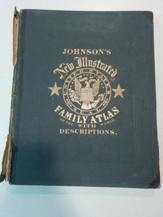
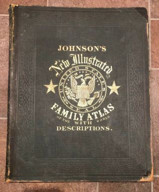
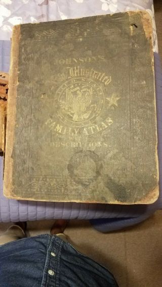
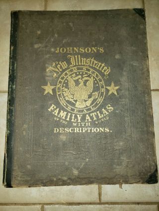
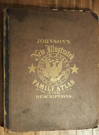
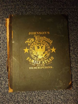
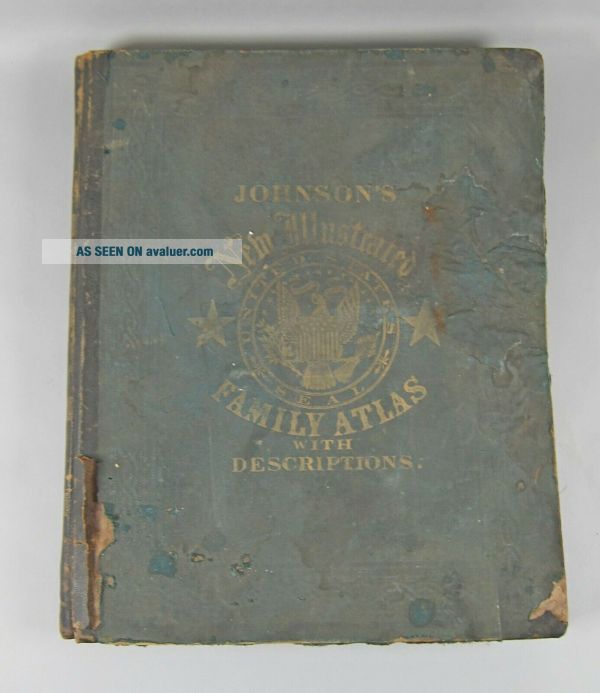
Johnson ' S Illustrated Family Atlas 1862 Civil War Era Complete


Item History & Price

Information:
Reference Number: Avaluer:27319935Format: Atlas
Year: 1862
Original Description:
 Johnson's New Illustrated Family Atlas 1862 Civil War Era Complete ITEM DESCRIPTIONThis auction is for a vintage 1862 Civil War Era family Atlas for the Johnson Family.  This book has maps, photos, and Geographical, Statistical & Historical descriptions.  The overall condition is fair but complete condition, cover is barely attached and heavy wear with water damage. That being said, all plates & maps are present and accounted for.  The b...ook measures 18 3/8" x 14 7/8" x 2" and weighs about 9 pounds.  Please see photographs.PAYMENT METHODSWe accept credit cards via Paypal.  Payment must be made within 48 hours of auction close or we reserve the right to relist the item and cancel the transaction.SHIPPING INFORMATIONInternational bidders welcome.  Please see shipping calculator at the top of the auction for domestic and international shipping quotes.  Other shipping methods are available; please email us for a quote.  TERMS & CONDITIONSWhile we do our best to accurately describe all items and conditions, we are not perfect, and sometimes condition can be a subjective thing.  We always try to err on the conservative side when it comes to grading condition.  If for any reason you are not thrilled with your purchase, we will be happy to accept the item back and offer you a full refund.  Your total satisfaction is our goal!  


    Similar items


  • Johnson

    Johnson ' S Illustrated Family Atlas 1862 Complete Incl Colton Civil War Maps

  • Johnson

    Johnson ' S Illustrated Family Atlas 1863 Civil War Era Legible - Rough Cover

  • 1862 Johnson

    1862 Johnson ' S Illustrated Family Atlas Of The World

  • Johnson

    Johnson ' S Illustrated Family Atlas Of The World With Descriptions 1864

  • 1868 Johnson

    1868 Johnson ' S Illustrated Family Atlas Of The World With Descriptions

  • Johnson

    Johnson ' S Illustrated Family Atlas Of The World - 1868 / Hand Colored Maps

  • 1864 Johnson

    1864 Johnson ' S Illustrated Family Atlas Of The World With Descriptions

  • 1866 Johnson

    1866 Johnson ' S Illustrated Family Atlas


    • You might also like


    • 1860 Mitchell Hand Colored Map Colorado,  Nebraska & Kansas - Civil War Era

      1860 Mitchell Hand Colored Map Colorado, Nebraska & Kansas - Civil War Era

    • 18th Century French Map Of North America

      18th Century French Map Of North America

    • Las Vegas Nevada Vintage 1967 Us Geological Survey Quadrangle Map 4 Panels

      Las Vegas Nevada Vintage 1967 Us Geological Survey Quadrangle Map 4 Panels

    • Rare Antique 1845 Maps United States Exploring Expedition Book Antartica Hawaii

      Rare Antique 1845 Maps United States Exploring Expedition Book Antartica Hawaii

    • Vintage 1926 Map Hollywood From The Best Surveys Of The Time

      Vintage 1926 Map Hollywood From The Best Surveys Of The Time

    • American Continent (western Hemisphere) 1747 Bowen Antique Copper Engraved Map

      American Continent (western Hemisphere) 1747 Bowen Antique Copper Engraved Map

    • Gulf Coast Florida Texas United States 1705 De Fer Unusual Antique Engraved Map

      Gulf Coast Florida Texas United States 1705 De Fer Unusual Antique Engraved Map

    • California As Island United States 1700 De Fer Unusual First Edition Antique Map

      California As Island United States 1700 De Fer Unusual First Edition Antique Map

Avaluer          About Us          Privacy Policy          Contact Us          UP
© 2022, avaluer.net, Inc. or its affiliates